Plizio Visual Lab
Auki Mangroves
Weather…
Water temperature…
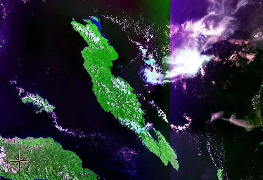
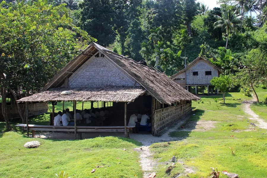
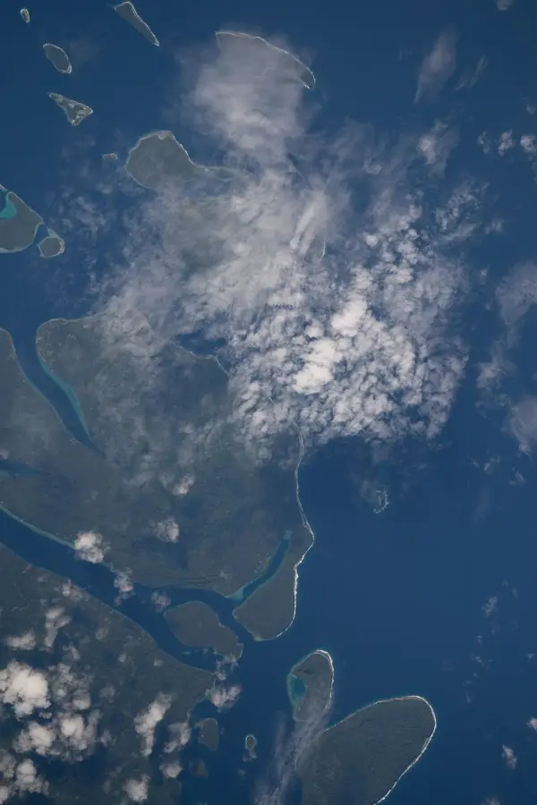
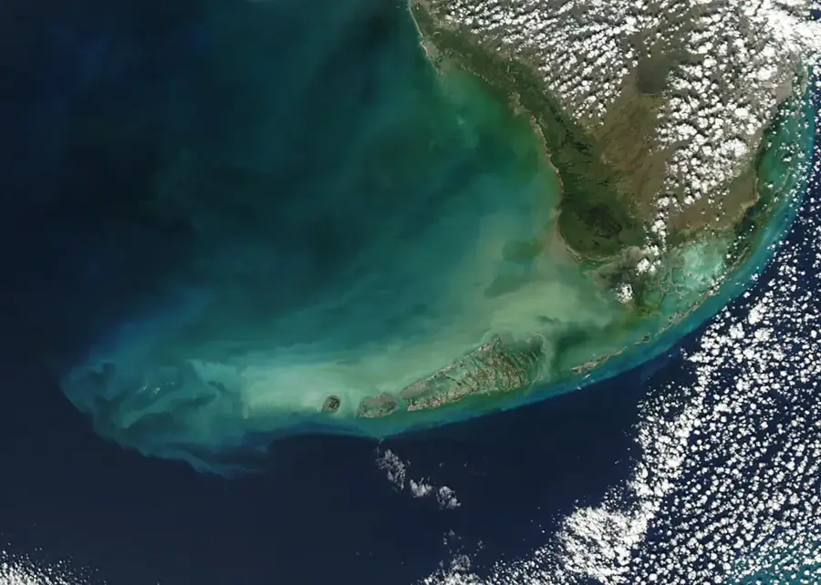
The Auki Mangroves stretch along the coastline north and south of the provincial capital, Auki, on Malaita Island. This extensive ecosystem forms a dense barrier between the sea and the mainland and is one of the largest mangrove tracts on the island. Geographically, the area consists of a complex network of channels and tidal pools that offer diverse habitats depending on the tide. The mangroves are of critical ecological importance as they filter nutrients, serve as nurseries for reef fish, and provide refuge for various waterfowl. Nearby are the famous artificial islands of Malaita, whose inhabitants have traditionally relied on mangrove resources. Protecting these forests is now a priority to secure local fisheries and mitigate the negative impacts of rising sea levels on the infrastructure of Auki.
- Location: Solomon Islands
- Top sights: St. Augustine Cathedral · Reba Cabe
- Nearby: Fauabu (7 km)
Best time to visit & climate
The most pleasant time to visit is Jun, Aug, Sep.
| Jan | Feb | Mar | Apr | May | Jun | Jul | Aug | Sep | Oct | Nov | Dec | |
|---|---|---|---|---|---|---|---|---|---|---|---|---|
| Avg °C | 28 | 28 | 28 | 28 | 28 | 28 | 27 | 27 | 27 | 27 | 28 | 28 |
| Rain mm | 281 | 311 | 285 | 217 | 189 | 193 | 203 | 171 | 170 | 209 | 199 | 232 |
📋 Practical info
Geography
Facts
- One of the largest mangrove ecosystems on Malaita Island.
- Encircles the provincial capital town of Auki.
- Acts as a vital filter for sediments and nutrients entering the sea.
- Located in close proximity to traditional artificial islands.
- Provides a critical habitat for numerous shellfish species.
- Protects the coastal infrastructure from tidal erosion.
Explore nearby
Notable places around
Route planner — Car & Motorhome
Where do you start? We build the route here, with stops and country notes along the way.
© OpenStreetMap contributors · OpenRouteService
Sights in the town Auki Mangroves (2)
Sights nearby
Frequently asked questions
Can you explore the Auki mangroves on your own?
What is there to see?
Is the place suitable for photographers?
Best time to visit?
What should be kept in mind?
Auki Mangroves: where is it located?
Auki Mangroves: what is there to see?
Auki Mangroves: when is the best time to visit?
Auki Mangroves: why is it worth visiting?

Nearby cities


History & landmarks


Nature

More places