Plizio Visual Lab
Mount Namarakao

Weather…
Water temperature…
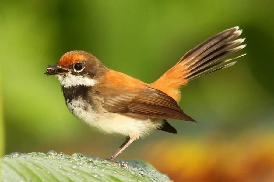
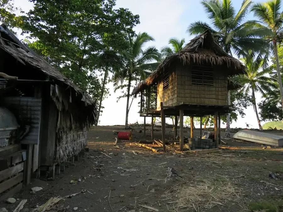
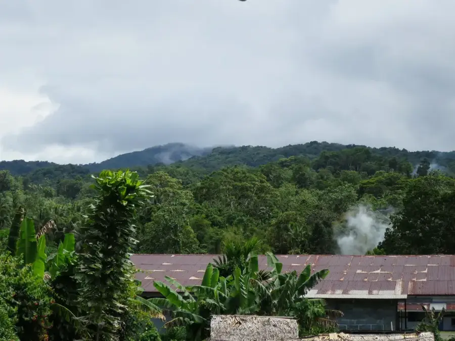
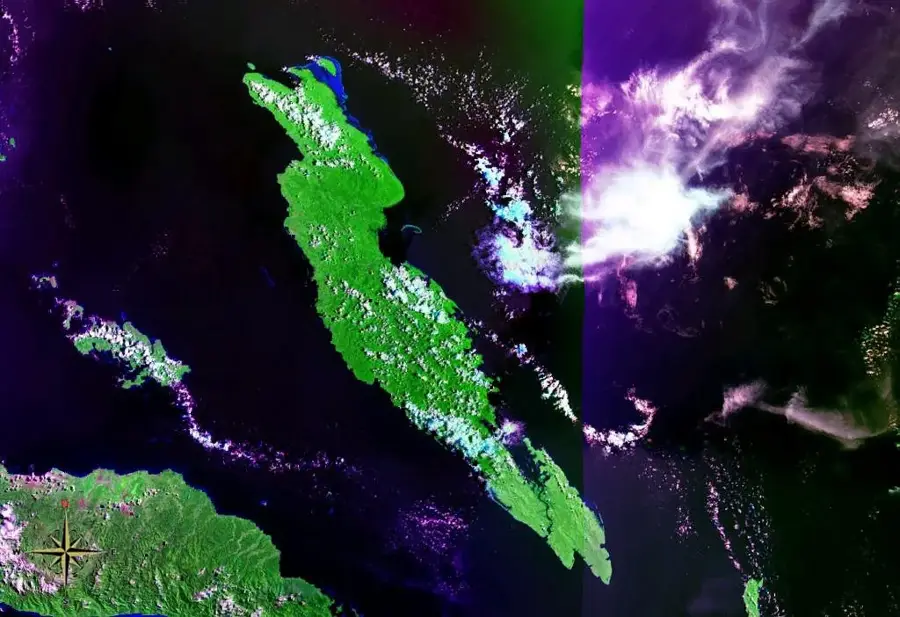
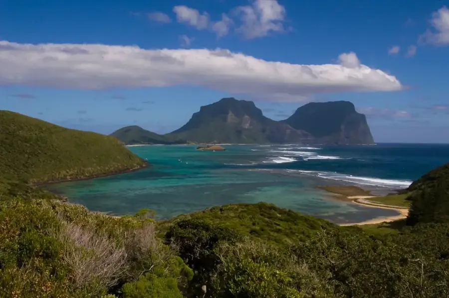
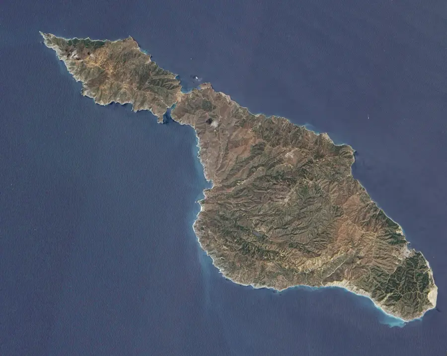
Mount Namarakao is a prominent elevation on Vella Lavella Island in the New Georgia archipelago of the Solomon Islands. The mountain reaches an elevation of approximately 790 meters and is of volcanic origin, which is typical for the geological composition of this island group. Its slopes are covered in dense tropical rainforest, which has remained largely preserved at higher elevations despite historical logging near the coasts. Geologically, Mount Namarakao is part of a dormant volcanic system, with hydrothermal springs and solfataras located near the mountain indicating ongoing geothermal activity. The mountain massif serves as an important ecosystem for numerous endemic species, particularly insects and smaller reptiles. For the inhabitants of Vella Lavella, the mountain is a significant landmark and an important source of water for surrounding villages. The region around Mount Namarakao is of scientific interest as it provides insights into the rapid regeneration of tropical forests following volcanic events.
- Location: Solomon Islands
- Nearby: Kirakira (36 km)
Best time to visit & climate
The most pleasant time to visit is Jul–Sep.
| Jan | Feb | Mar | Apr | May | Jun | Jul | Aug | Sep | Oct | Nov | Dec | |
|---|---|---|---|---|---|---|---|---|---|---|---|---|
| Avg °C | 29 | 28 | 28 | 28 | 28 | 28 | 27 | 27 | 28 | 28 | 28 | 28 |
| Rain mm | 274 | 290 | 267 | 233 | 220 | 194 | 193 | 163 | 166 | 207 | 189 | 224 |
📋 Practical info
Geography
Facts
- Mount Namarakao is located in the central part of Vella Lavella.
- It is an extinct volcanic cone from the Quaternary period.
- Active mud volcanoes are located nearby.
- The mountain reaches an elevation of 790 meters.
- The soils on the mountain are extremely fertile and mineral-rich.
- It is part of the New Georgia volcanic arc.
Explore nearby
Notable places around
Route planner — Car & Motorhome
Where do you start? We build the route here, with stops and country notes along the way.
© OpenStreetMap contributors · OpenRouteService
Sights nearby
Frequently asked questions
Where is Mount Namarakao located?
Is the mountain touristically developed?
What are the physical requirements?
Can you explore the area without a guide?
Are there beautiful viewpoints there?
Mount Namarakao: where is it located?
Mount Namarakao: when is the best time to visit?
Mount Namarakao: why is it worth visiting?

Nearby cities


History & landmarks

Nature
More places