Plizio Visual Lab
Atori

ℹ️Practical info — Atori
▾
🌤 Weather — 5 days
📍 Nearby
Sights nearby
💡 Tips
- The road from Auki is scenic but can be very muddy after rain; a 4WD vehicle is highly recommended.
- As a trade hub, it is a great place to observe the local commerce on Malaita.
- Small boats depart from here to other coastal villages, though schedules are quite informal.
- Always ask the local chief for permission if you plan to visit nearby traditional villages.
🍽 Food
Fish baked in leaves, typically found in small local eateries.
A type of yam that serves as a staple food in the local diet.
🛍 Shopping · 🧘 Quiet spots
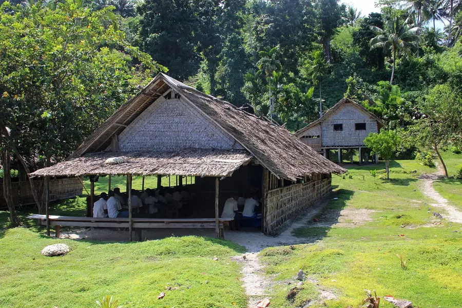
The central trading spot for goods coming from both the interior and the coast.
Sometimes available from local traders, representing an important cultural item on Malaita.
A peaceful spot to sit and watch the small boats come and go.
Walk away from the busy market center for quiet ocean views.
Water temperature…
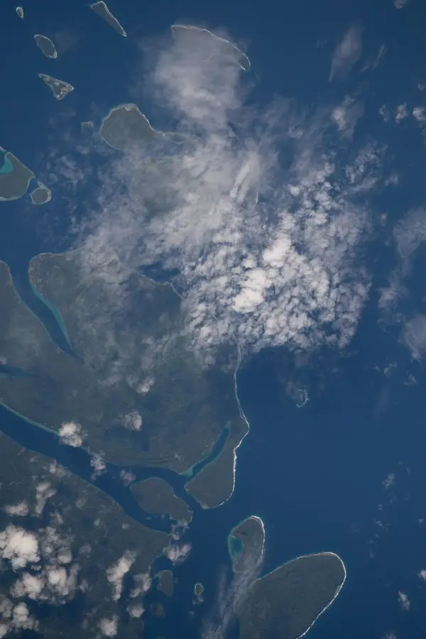
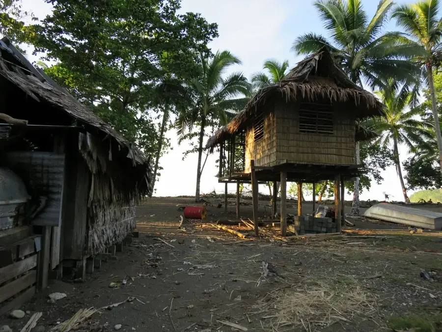
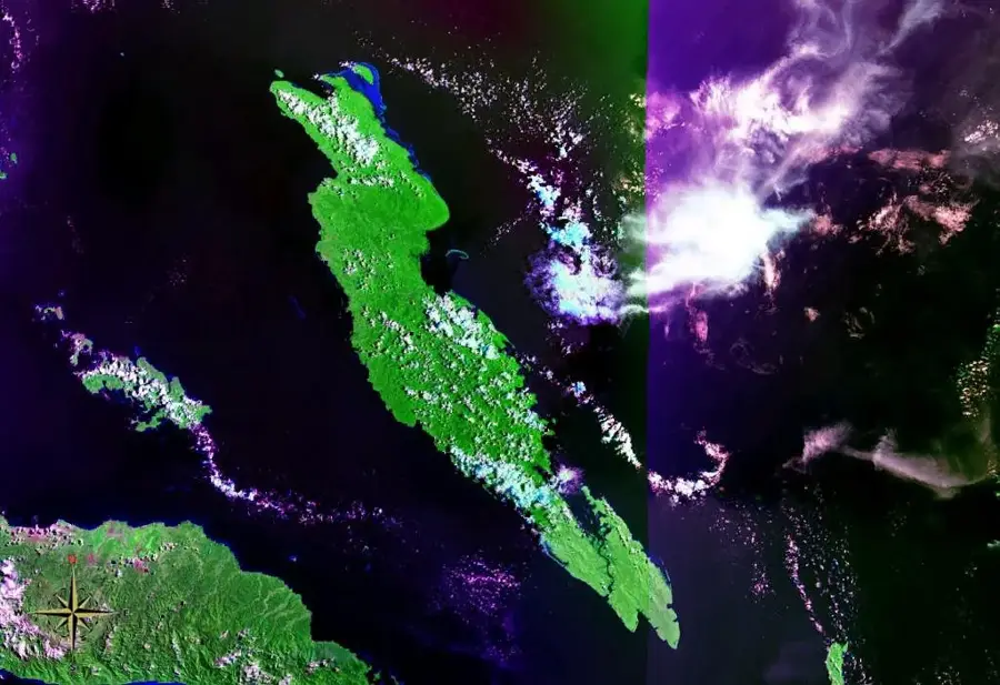
Atori is located on the eastern coast of Malaita Island and serves as the primary port and terminus for the road leading from the provincial capital, Auki, across the central mountain range. This geographical positioning makes Atori a crucial logistical hub for trade and transportation between West and East Malaita. The town lies on the edge of a broad bay that provides shelter for coastal vessels supplying remote communities along the eastern seaboard. Atori's economy is based on the trade of local agricultural products, such as copra and cocoa, as well as fishing. In recent years, Atori's significance as an administrative center for the East Malaita district has increased, leading to investments in local infrastructure. For travelers, Atori is the gateway to the spectacular coastal landscapes and traditional villages of the island's east.
- Location: Solomon Islands
- Nearby: Afutara (33 km)
Best time to visit & climate
The most pleasant time to visit is Apr, May, Sep.
| Jan | Feb | Mar | Apr | May | Jun | Jul | Aug | Sep | Oct | Nov | Dec | |
|---|---|---|---|---|---|---|---|---|---|---|---|---|
| Avg °C | 28 | 28 | 28 | 28 | 28 | 28 | 27 | 27 | 27 | 28 | 28 | 28 |
| Rain mm | 289 | 299 | 281 | 219 | 215 | 239 | 265 | 232 | 212 | 248 | 224 | 238 |
Geography
Facts
- Terminus of the Auki-Atori road, the main link across Malaita.
- Primary port for the East Malaita district.
- Key transit point for copra and cocoa exports.
- Located on a strategically favorable bay on the eastern coast.
- Center for regional government services in the east.
- Jumping-off point for travel to the artificial islands of Lau Lagoon.
Explore nearby
Notable places around
Route planner — Car & Motorhome
Where do you start? We build the route here, with stops and country notes along the way.
© OpenStreetMap contributors · OpenRouteService
Frequently asked questions
What makes Atori special as a destination?
What accommodation options are there?
How do I get to Atori?
Are there shopping facilities there?
What should I be aware of when visiting?
Atori: where is it located?
Atori: when is the best time to visit?
Atori: why is it worth visiting?

Nearby cities


History & landmarks


Nature

More places