Plizio Visual Lab
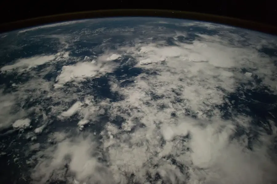
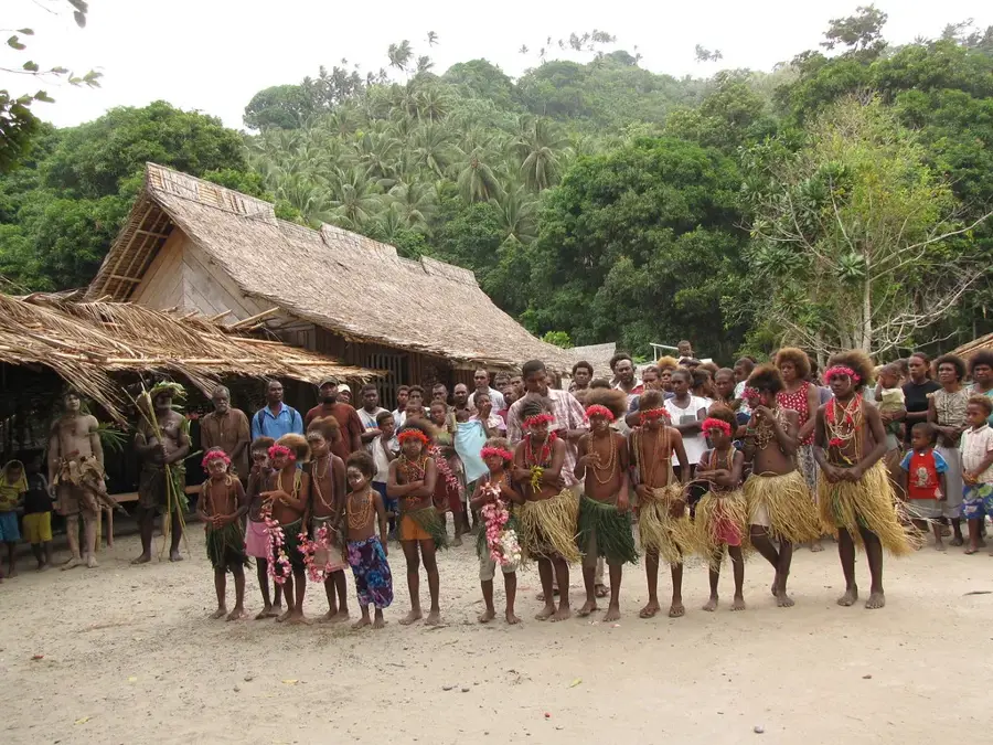
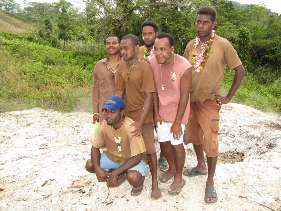
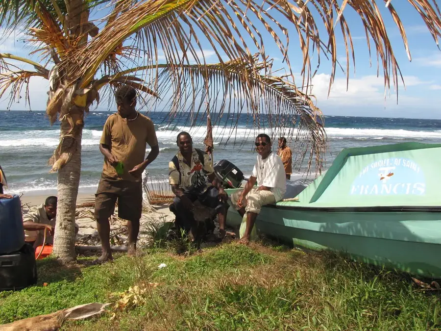
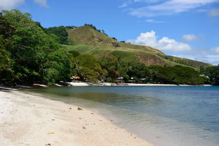
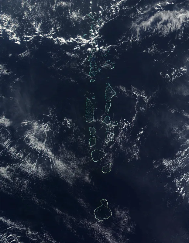
Banika Island
Weather…
Water temperature…
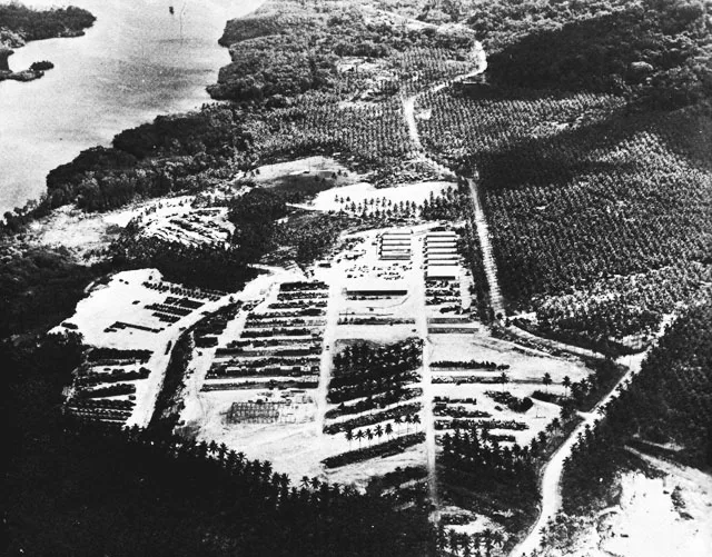
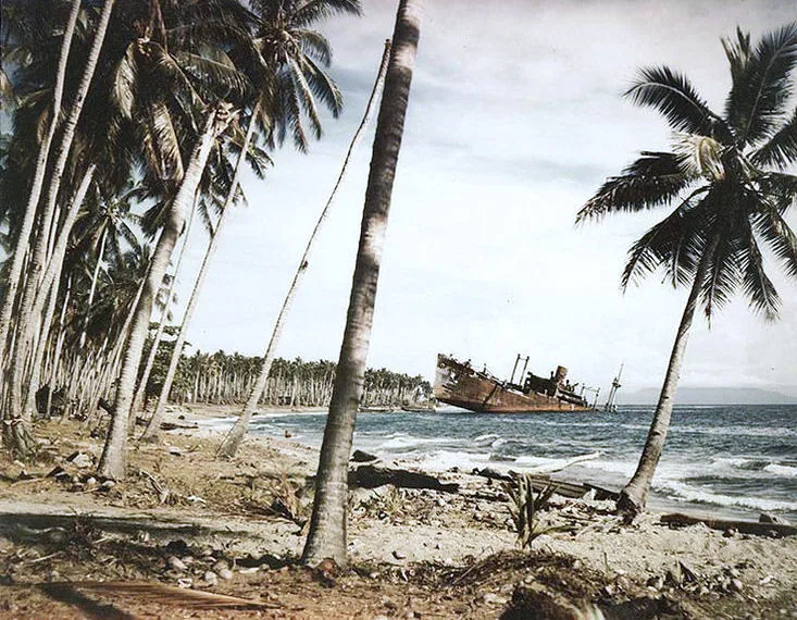
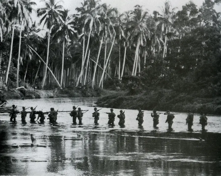
Banika Island, the second largest in the Russell group, evolved into one of the most significant Allied logistical hubs in the South Pacific during World War II. Following its unopposed occupation by U.S. forces in February 1943 under Operation Cleanslate, the island was rapidly transformed by Navy Seabees into a massive military complex. Two major airfields, Banika Field and Renard Field, were constructed to facilitate air operations against the Japanese stronghold at Rabaul and support the Solomon Islands campaign. Beyond its aviation role, Banika housed enormous supply depots, fuel tank farms, and extensive medical facilities, serving as a vital support base for troops moving northward. Its deep-water anchorage made it a well-suited site for naval staging and repairs. Although Banika saw little direct combat, its role as a backbone for Allied logistics was indispensable for the success of operations on New Georgia and Bougainville. Today, the remnants of overgrown runways and rusted equipment scattered through the jungle serve as lasting reminders of the island's massive wartime buildup.
- Location: Solomon Islands
- Nearby: Visale (62 km)
Best time to visit & climate
The most pleasant time to visit is Aug, Sep, Nov.
| Jan | Feb | Mar | Apr | May | Jun | Jul | Aug | Sep | Oct | Nov | Dec | |
|---|---|---|---|---|---|---|---|---|---|---|---|---|
| Avg °C | 29 | 28 | 28 | 29 | 29 | 28 | 28 | 28 | 28 | 28 | 28 | 29 |
| Rain mm | 317 | 311 | 299 | 249 | 223 | 248 | 252 | 219 | 213 | 226 | 216 | 224 |
📋 Practical info
Geography
Facts
- Operation Cleanslate for the occupation of Banika began on February 21, 1943.
- U.S. Navy Seabees constructed two separate airfields on the island in just a few weeks.
- Banika Field featured a coral runway approximately 6,000 feet long.
- At its peak, the island was home to more than 20,000 Allied military personnel.
- The island’s harbors supported a major PT boat base and maintenance facilities.
- Massive naval hospitals were established on Banika to treat casualties from the northern front.
Explore nearby
Notable places around
Route planner — Car & Motorhome
Where do you start? We build the route here, with stops and country notes along the way.
© OpenStreetMap contributors · OpenRouteService
Sights in the town Banika Island (1)
Sights nearby
Frequently asked questions
Is Banika a tourist island?
Can you explore the island?
Are there historical sights there?
How do you get to Banika?
Is there a health risk?
Banika Island: where is it located?
Banika Island: when is the best time to visit?
Banika Island: why is it worth visiting?

Nearby cities


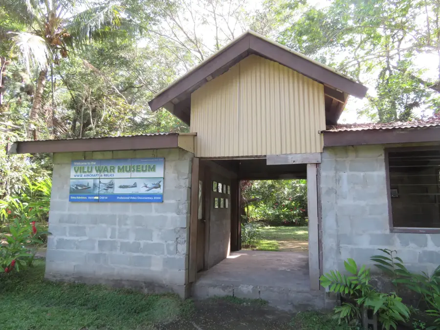
History & landmarks

Nature
More places