Plizio Visual Lab
Karawanks
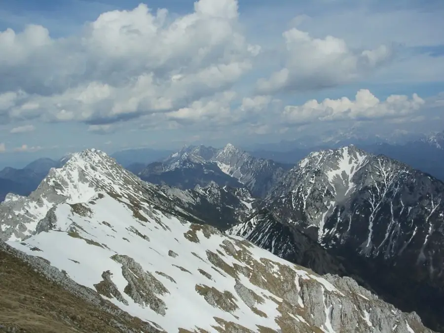
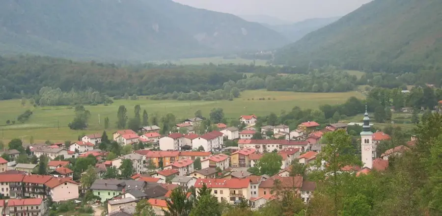
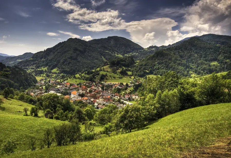
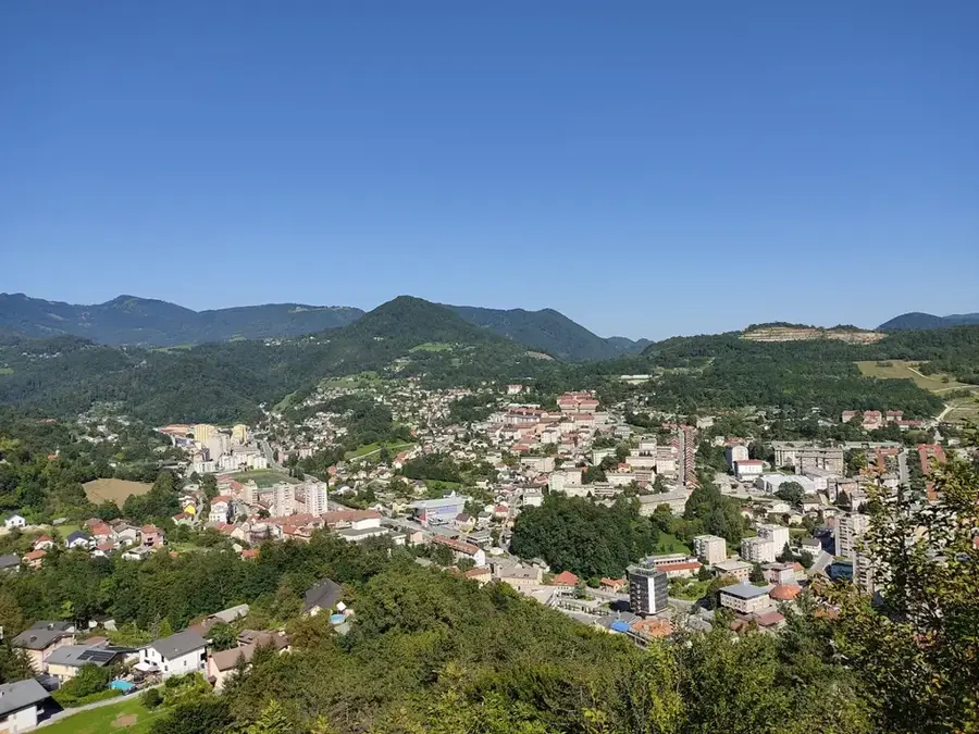
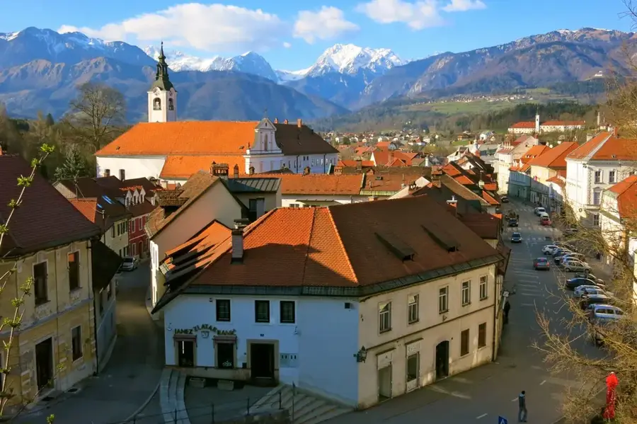
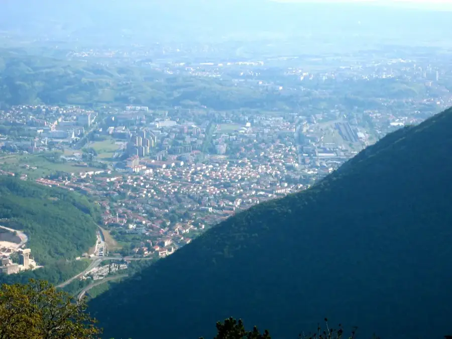
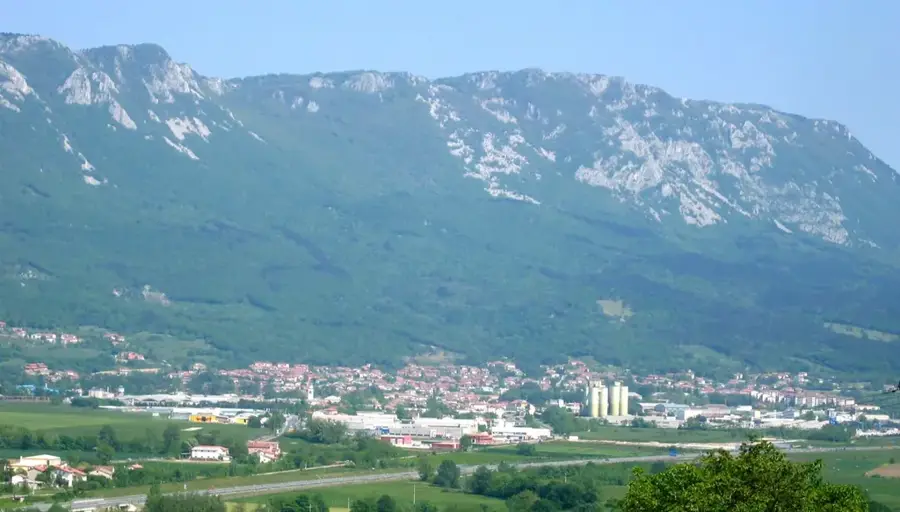
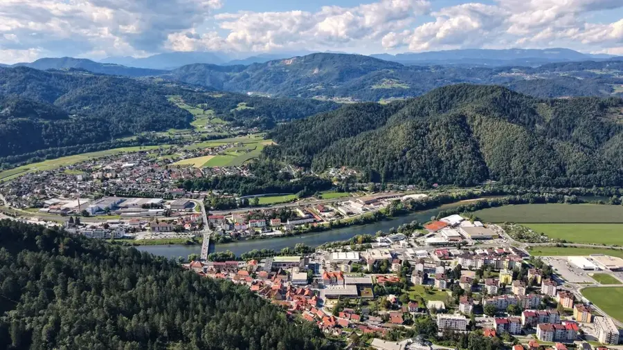
The Karawanks (Karavanke) form a natural border between Slovenia and Austria and, spanning approximately 120 kilometers, represent one of the longest mountain ranges in Europe. The highest peak is Stol (Hochstuhl), reaching an altitude of 2,236 meters. Geologically, the range is remarkably complex, sitting atop the Periadriatic Seam and composed of a mix of limestone, dolomite, and igneous rocks. This tectonic activity has resulted in numerous mineral and thermal springs throughout the region. Historically, the Karawanks were of great economic importance due to rich ore deposits, particularly iron and lead, which spurred early industrial development. Today, the range is a major destination for long-distance hikers, as the Slovenian Mountain Trail traverses many of its peaks. The northern slopes are typically rugged and precipitous, while the southern slopes descend more gently into alpine pastures.
- Location: Slovenia
- Top sights: Hochstuhl / Stol · Prižnica · Potoški Stol
- Nearby: Vintgar Gorge (7 km)
Best time to visit & climate
The most pleasant time to visit is Jun–Aug.
| Jan | Feb | Mar | Apr | May | Jun | Jul | Aug | Sep | Oct | Nov | Dec | |
|---|---|---|---|---|---|---|---|---|---|---|---|---|
| Avg °C | -4 | -3 | 2 | 6 | 11 | 15 | 17 | 17 | 12 | 8 | 3 | -2 |
| Rain mm | 58 | 66 | 74 | 83 | 110 | 120 | 125 | 140 | 130 | 118 | 119 | 85 |
📋 Practical info
Geography
Facts
- Highest peak is Stol at 2,236 meters
- Forms a continuous mountain chain 120 kilometers long
- Home to the UNESCO Global Geopark Karawanke
- Famous for the wild narcissus blooms on Mount Golica in May
- The Karawanks road tunnel is 7.8 kilometers long
- Bisected by the Periadriatic Seam, a major tectonic fault line
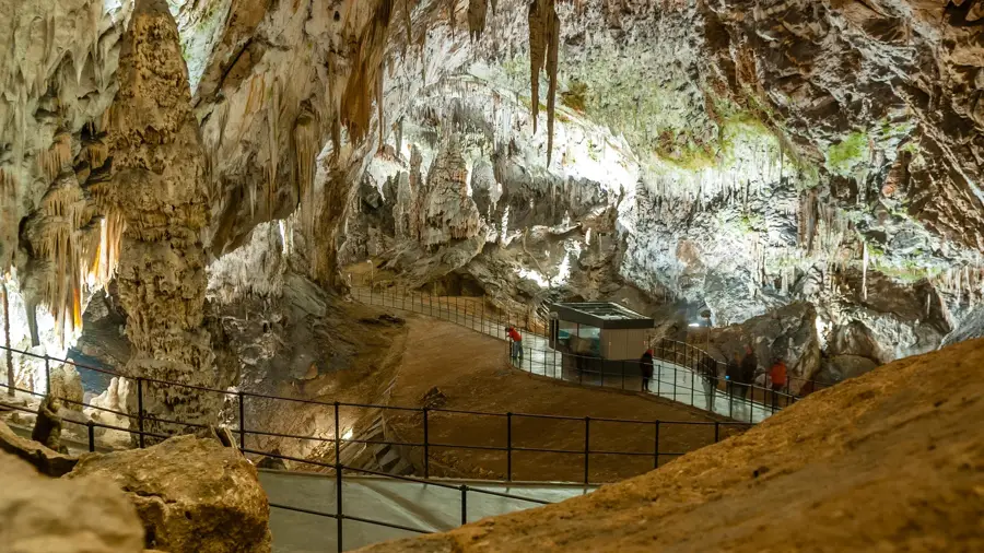
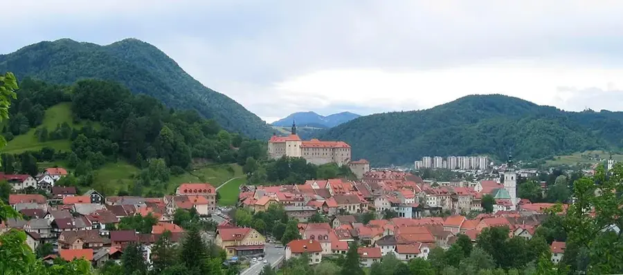
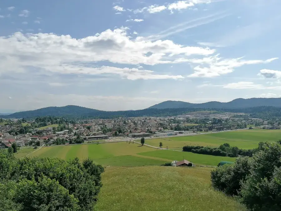
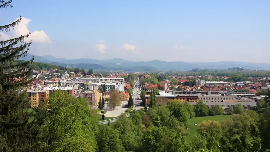
Explore nearby
Notable places around
Route planner — Car & Motorhome
Where do you start? We build the route here, with stops and country notes along the way.
© OpenStreetMap contributors · OpenRouteService
Sights in the town Karawanks (5)
Klagenfurter Spitze / Celovška špica
Mountain in the Karawanks at the border Carinthia/Slovenia, 1759 m high.
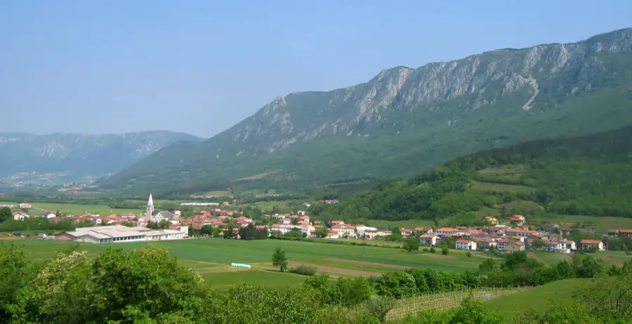
Sights nearby
Frequently asked questions
Which mountain is the highest?
Do they form a border?
What are the famous flowers?
How long is the range?
Is there a road tunnel?
Karawanks: where is it located?
Karawanks: what is there to see?
Karawanks: when is the best time to visit?
Karawanks: why is it worth visiting?

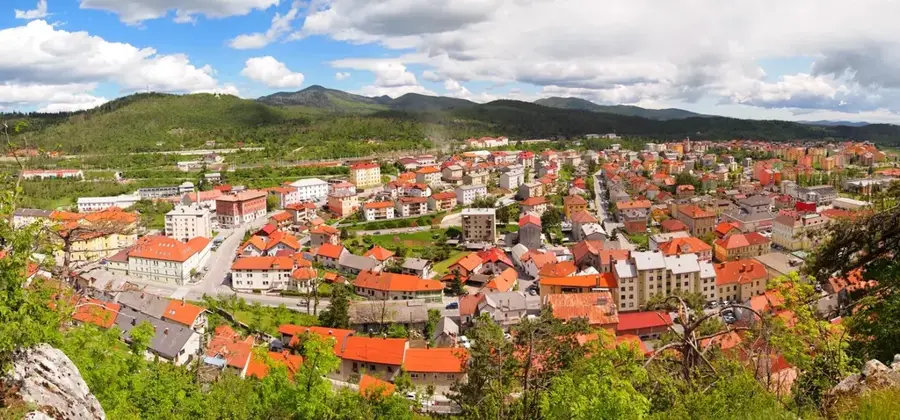
Nearby cities

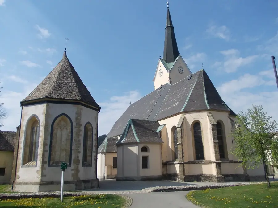
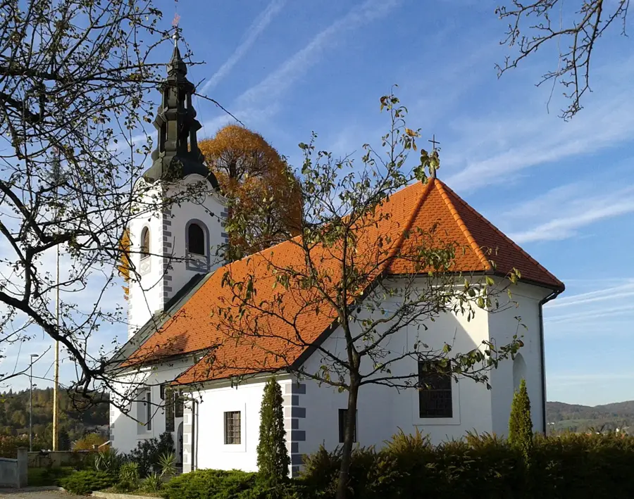
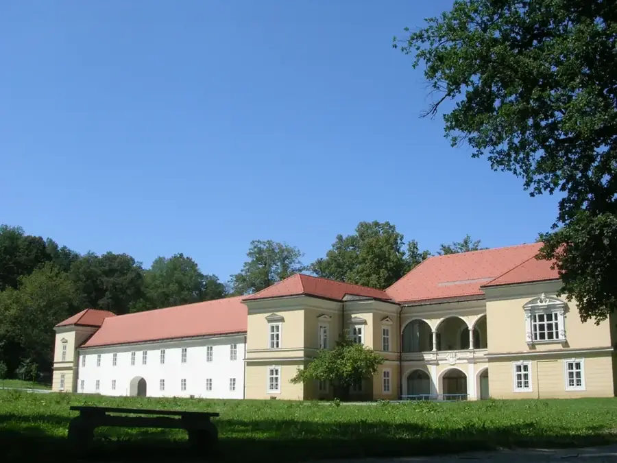
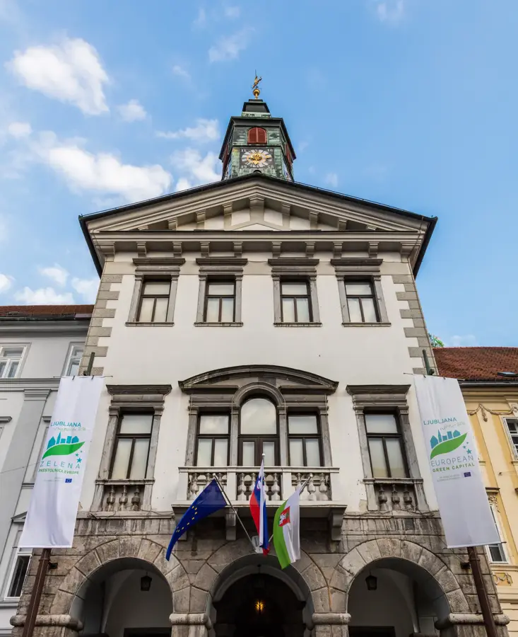
History & landmarks