Plizio Visual Lab
White Carpathians
Weather…
Water temperature…
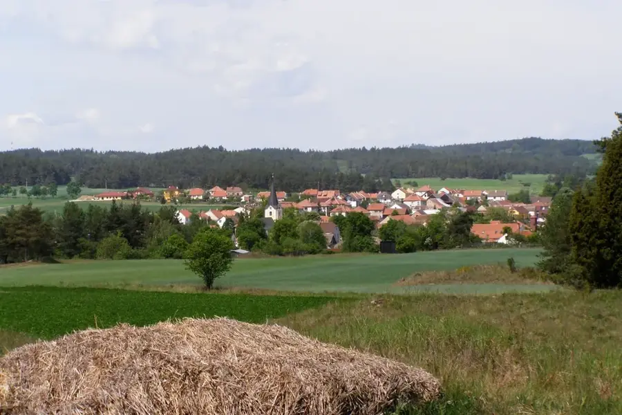
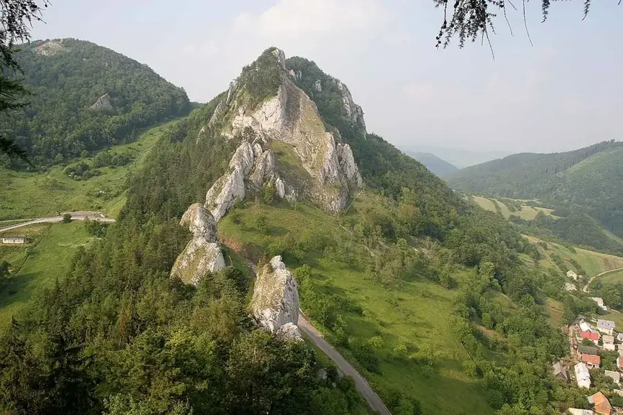
The White Carpathians stretch along the border between Slovakia and the Czech Republic, forming a significant part of the Outer Western Carpathians' flysch belt. The geological structure consists mainly of alternating layers of sandstone and claystone, creating a landscape of rolling hills and fertile valleys. The area is world-renowned for its vast species-rich meadows, which host one of the highest concentrations of orchid species in Central Europe. Its highest peak, Veľká Javorina, reaches 970 meters and serves as a symbolic meeting point for Slovak and Czech cultural events. Established as a Protected Landscape Area (CHKO) in 1979, it also holds the status of a UNESCO Biosphere Reserve due to its unique integration of natural beauty and traditional human settlement. The region maintains a distinct cultural identity through its folk traditions, scattered settlements, and long-standing history of fruit cultivation and sheep farming.
- Location: Slovakia
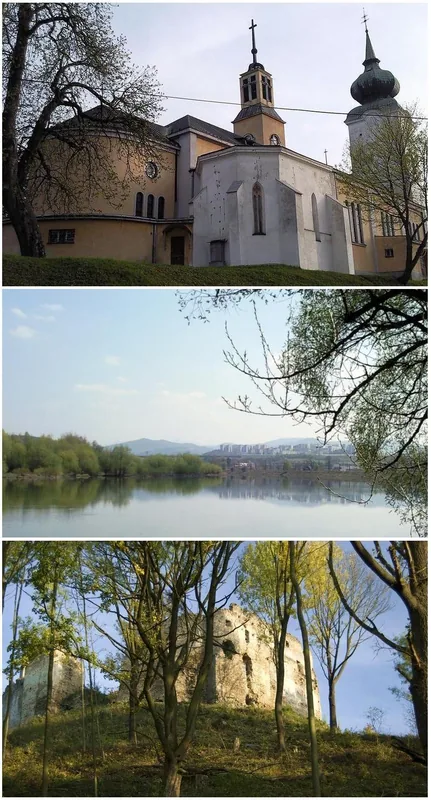
- Top sights: PP Mravenčí louka · PP Pod Hribovňou · PP V Krátkých
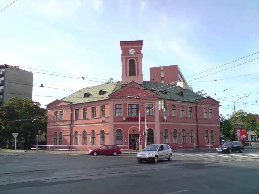
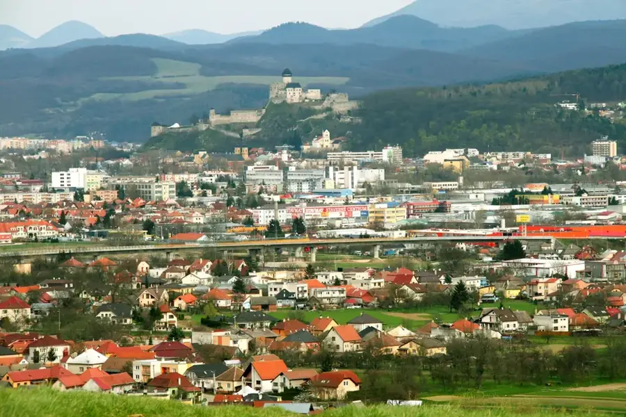
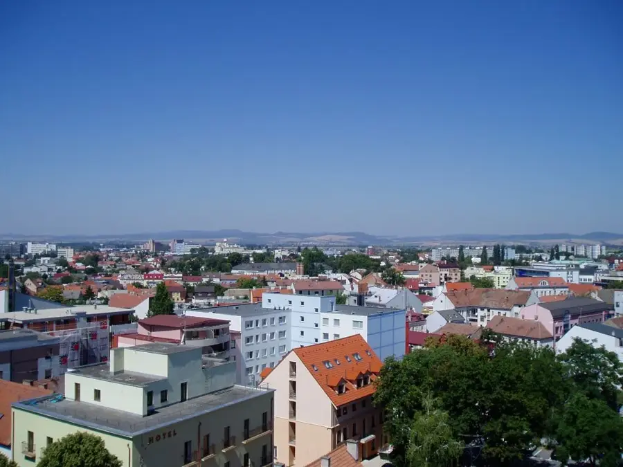
- Nearby: Trenčín (15 km)
Best time to visit & climate
The most pleasant time to visit is Jun–Aug.
| Jan | Feb | Mar | Apr | May | Jun | Jul | Aug | Sep | Oct | Nov | Dec | |
|---|---|---|---|---|---|---|---|---|---|---|---|---|
| Avg °C | -4 | -2 | 3 | 9 | 13 | 17 | 19 | 19 | 14 | 8 | 4 | -2 |
| Rain mm | 55 | 47 | 47 | 42 | 76 | 78 | 83 | 70 | 68 | 59 | 52 | 52 |
📋 Practical info
Geography
Facts
- The highest peak is Veľká Javorina, standing at 970 meters above sea level.
- The Protected Landscape Area was established on the Slovak side in 1979.
- It covers an area of approximately 445 square kilometers in Slovakia.
- The region is home to over 70 distinct species of wild orchids.
- The mountains are geologically part of the Carpathian flysch belt.
- UNESCO designated the area as a Biosphere Reserve in 1990.
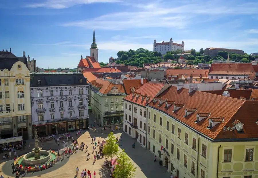
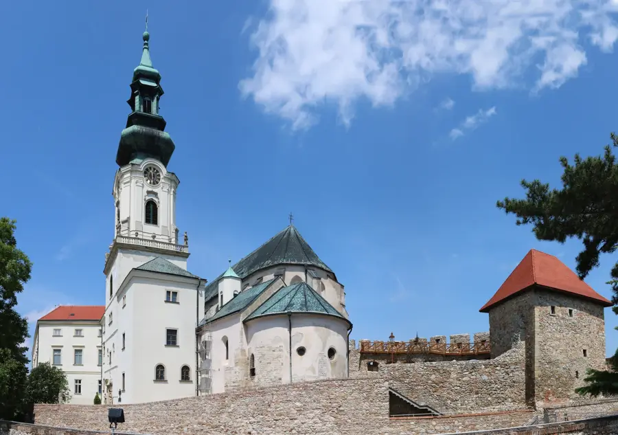
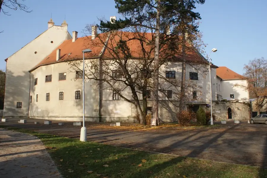
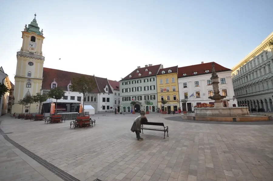
Explore nearby
Notable places around
Route planner — Car & Motorhome
Where do you start? We build the route here, with stops and country notes along the way.
© OpenStreetMap contributors · OpenRouteService
Sights in the town White Carpathians (7)
Sights nearby
Frequently asked questions
Where are the White Carpathians located?
What is the landmark of these mountains?
Which plants are specifically protected here?
Is it good for hiking?
Are there observation towers?
White Carpathians: where is it located?
White Carpathians: what is there to see?
White Carpathians: when is the best time to visit?
White Carpathians: why is it worth visiting?

Nearby cities