Plizio Visual Lab
Velka Javorina
Velká Javorina is the highest peak of the White Carpathians, reaching an elevation of 970 meters on the border between the Czech Republic and Slovakia. The mountain holds immense symbolic value as a site of Czech-Slovak solidarity, hosting regular cross-border gatherings since 1845. Geologically, it is composed of flysch layers typical of the Outer Western Carpathians and is surrounded by ancient beech forests and protected grasslands. The summit is dominated by a prominent television transmitter tower, built in the 1950s, which is visible from miles away. The treeless summit plateau provides expansive 360-degree views of the Váh River valley, the Lesser Fatra mountains, and the Moravian plains. Located near the top is the Holuby Hut, a historic mountain lodge opened in 1923 that continues to serve as a vital base for hikers. The entire area is part of the White Carpathians Protected Landscape Area, famous for its rich orchid meadows and traditional rural landscape. Every July, thousands of visitors attend the Festival of Brotherhood on its slopes, celebrating the shared heritage of the two nations.
- Location: Czech Republic
- Top sights: národní přírodní rezervace Javořina · PP Mechnáčky · PP Vápenky
- Nearby: Uherský Brod (19 km)
Best time to visit & climate
The most pleasant time to visit is Jun–Aug.
| Jan | Feb | Mar | Apr | May | Jun | Jul | Aug | Sep | Oct | Nov | Dec | |
|---|---|---|---|---|---|---|---|---|---|---|---|---|
| Avg °C | -3 | -1 | 3 | 9 | 14 | 18 | 21 | 20 | 15 | 9 | 4 | -2 |
| Rain mm | 47 | 40 | 41 | 39 | 72 | 73 | 76 | 67 | 65 | 52 | 46 | 46 |
📋 Practical info
Geography
Facts
- Velká Javorina stands at 970 meters, the highest point of the White Carpathians.
- The tradition of joint Czech and Slovak meetings on the peak began in 1845.
- Holuby Hut, located just below the summit, was established in 1923.
- The massive TV transmitter on the summit is 100 meters tall.
- The mountain's meadows contain some of the richest floral diversity in Europe.
- It is accessible by road from the Slovak side and by trails from the Czech side.
Explore nearby
Notable places around
Route planner — Car & Motorhome
Where do you start? We build the route here, with stops and country notes along the way.
© OpenStreetMap contributors · OpenRouteService
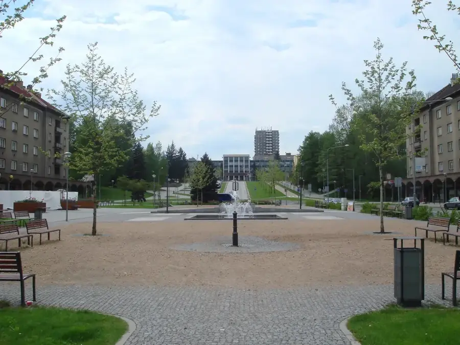
Sights in the town Velka Javorina (8)
Farma PARK Lubina🎡 recreation
An animal park in Lubina featuring a variety of farm and forest animals.
Sights nearby
Frequently asked questions
Where is Velká Javořina located?
Are there meetings of Czechs and Slovaks there?
How high is the mountain?
Is there a building on the summit?
Is there a hut nearby?
Velka Javorina: where is it located?
Velka Javorina: what is there to see?
Velka Javorina: when is the best time to visit?
Velka Javorina: why is it worth visiting?

Nearby cities