Plizio Visual Lab
Poloniny
Weather…
Water temperature…
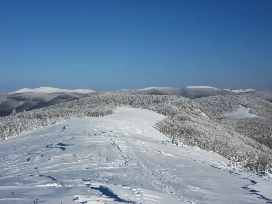
The Poloniny National Park, located in the extreme northeastern corner of Slovakia, is part of the Carpathian Mountains and ranks among the most pristine wilderness areas in Central Europe. It borders Poland and Ukraine, forming the transnational East Carpathian Biosphere Reserve. The park is named after its vast alpine meadows, known as "poloniny," but its most significant treasures are the ancient primeval beech forests, recognized as a UNESCO World Heritage site since 2007. These forests harbor some of the oldest trees on the continent within an ecosystem that has remained virtually untouched by humans for centuries. Due to its low population density and minimal light pollution, the area was designated in 2010 as Slovakia’s first Dark Sky Park, making it a premier location for stargazing. The wildlife is exceptionally rich, hosting rare species such as the European bison, which was successfully reintroduced, along with brown bears, wolves, and lynx. In the nearby valleys, exquisite wooden churches from the 17th and 18th centuries testify to the deep-rooted traditions of the local people. For visitors, Poloniny is a sanctuary of silence and authentic nature, far removed from mass tourism.
- Location: Slovakia
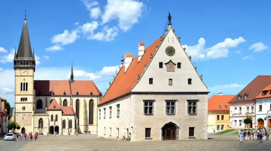
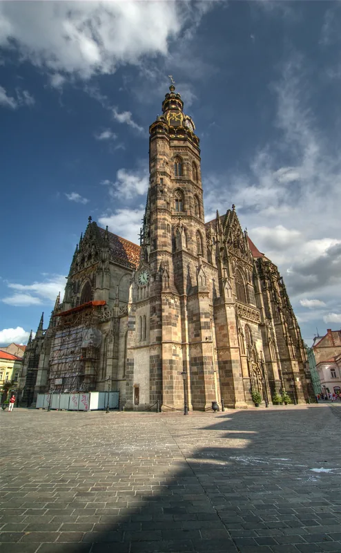
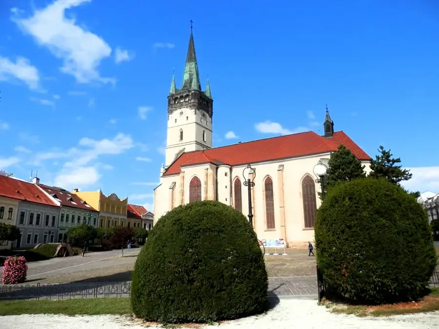
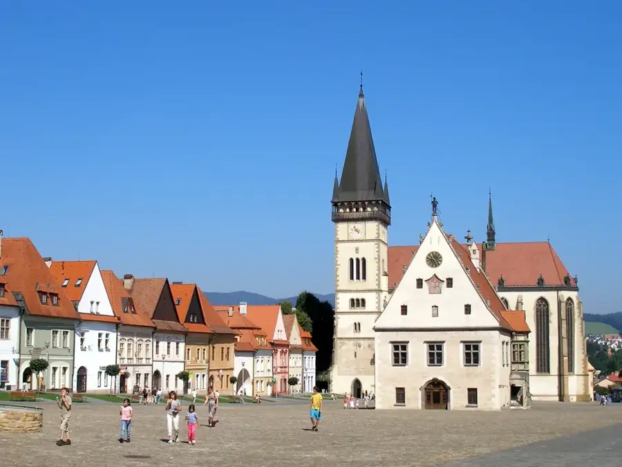
- Top sights: Stolová · sv. Michala archanjela · Chrám sv. Michala archanjela
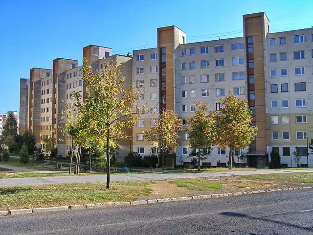
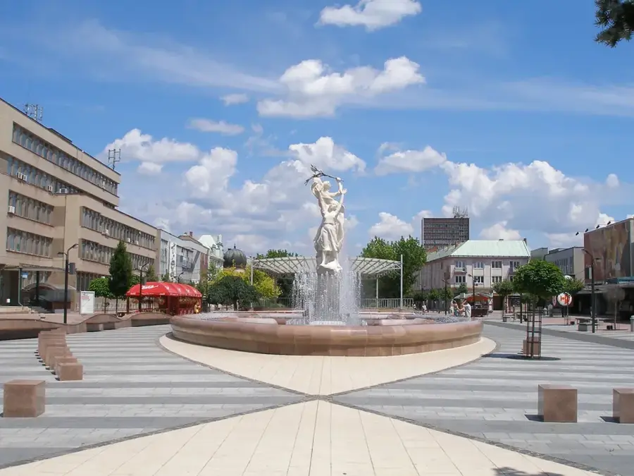
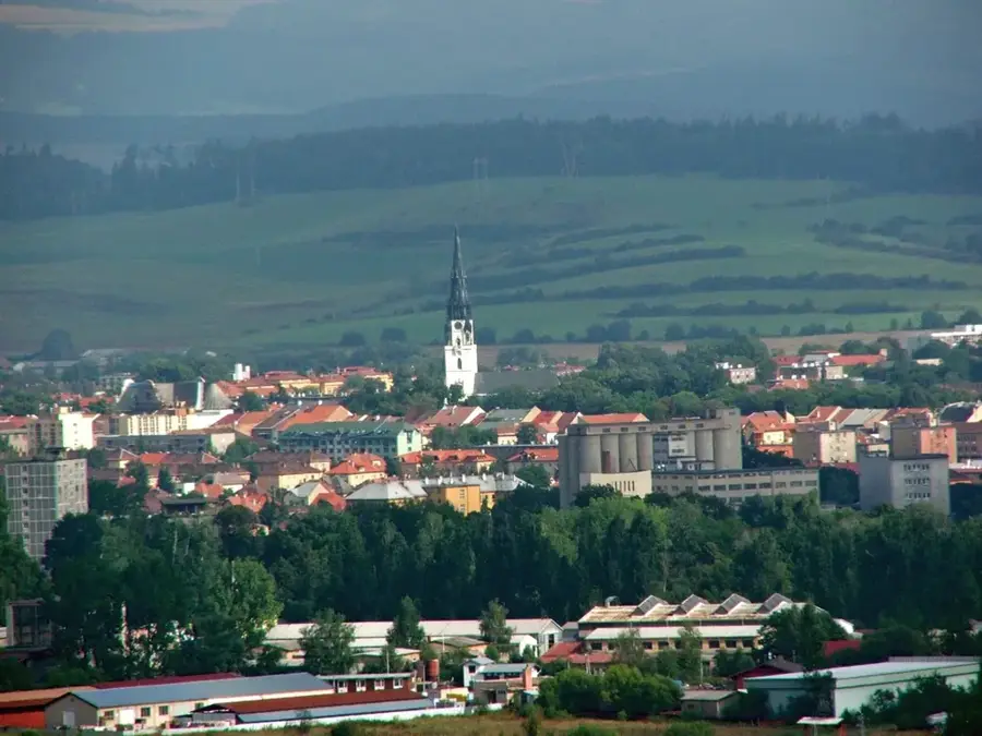
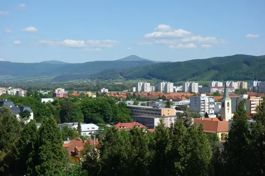
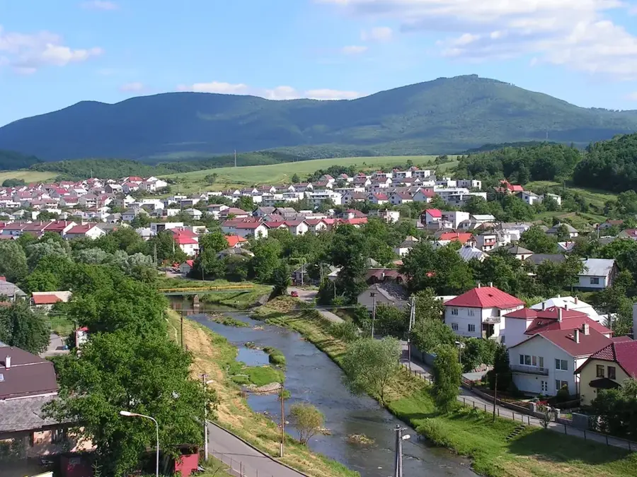
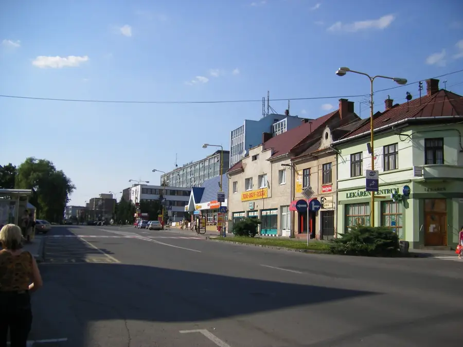
- Nearby: Snina (19 km)
Best time to visit & climate
The most pleasant time to visit is Jun–Aug.
| Jan | Feb | Mar | Apr | May | Jun | Jul | Aug | Sep | Oct | Nov | Dec | |
|---|---|---|---|---|---|---|---|---|---|---|---|---|
| Avg °C | -5 | -4 | 1 | 8 | 13 | 17 | 19 | 18 | 13 | 8 | 3 | -3 |
| Rain mm | 56 | 51 | 54 | 54 | 98 | 95 | 107 | 78 | 72 | 66 | 58 | 59 |
📋 Practical info
Geography
Facts
- National Park since: 1997
- UNESCO World Heritage: since 2007 (beech forests)
- Stargazing: Slovakia's first Dark Sky Park
- Border point: Kremenec (tripoint point)
- Wildlife: European bison reintroduction
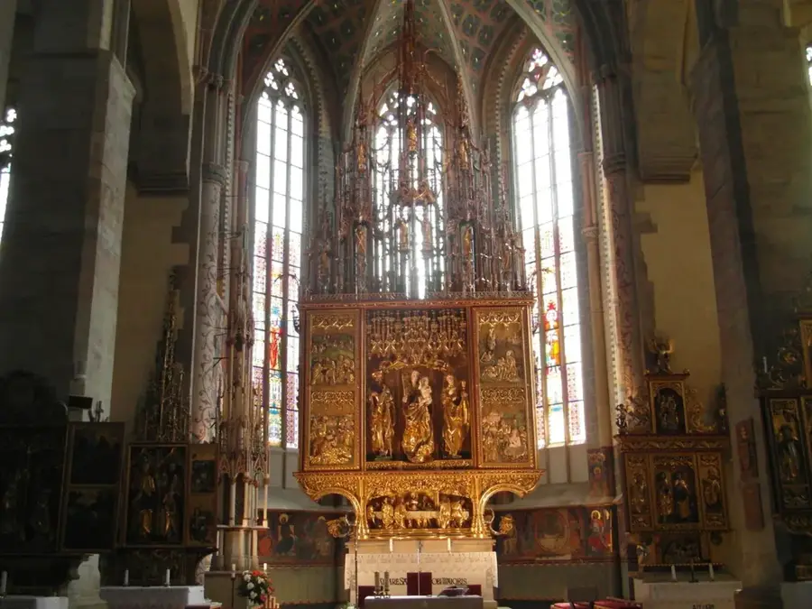
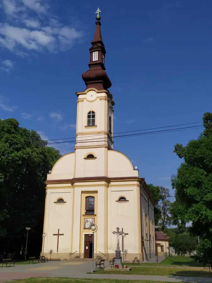
- Culture: UNESCO wooden churches in the region
Explore nearby
Notable places around
Route planner — Car & Motorhome
Where do you start? We build the route here, with stops and country notes along the way.
© OpenStreetMap contributors · OpenRouteService
Sights in the town Poloniny (3)
Sights nearby
Frequently asked questions
What is special about Poloniny National Park?
Are there European bison there?
What historical buildings can be seen?
Is the region overcrowded with tourists?
Where is the tri-border point located?
Poloniny: where is it located?
Poloniny: what is there to see?
Poloniny: when is the best time to visit?
Poloniny: why is it worth visiting?

Nearby cities


History & landmarks