Plizio Visual Lab
Ostredok
Weather…
Water temperature…
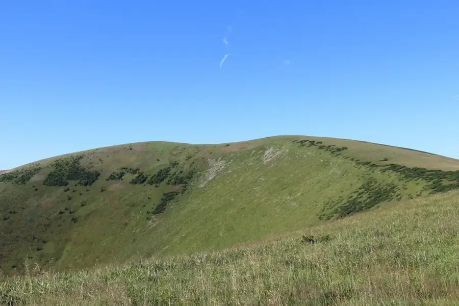
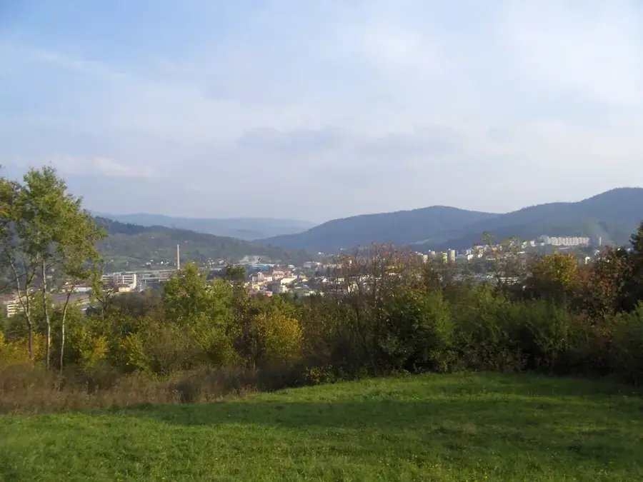
Reaching an elevation of 1596 meters, Ostredok stands as the highest peak in the Veľká Fatra (Great Fatra) mountain range, perfectly embodying the gentle, rounded topography that characterizes this extensive massif. Unlike the dramatic, rocky limestone spires found in neighboring mountain ranges, Ostredok is distinguished by its vast, open alpine meadows and sweeping grassy ridges, which provide good, undulating terrain for long-distance summer trekking and highly popular winter ski touring. Interestingly, the mountain features two distinct summits of very similar heights; it wasn't until highly precise geodetic measurements were conducted in 2016 that the southern summit was definitively proven to be a few meters taller (1596m) than the historically marked northern peak. The expansive treeless pastures covering the mountain are largely the legacy of centuries of traditional Wallachian sheep farming, which significantly altered the original forested landscape. On clear days, the summit features uninterrupted, magnificent views encompassing the adjacent Malá Fatra, the Low Tatras, and the distant High Tatras.
- Location: Slovakia
- Top sights: Krížna · Frčkov · Kráľova skala
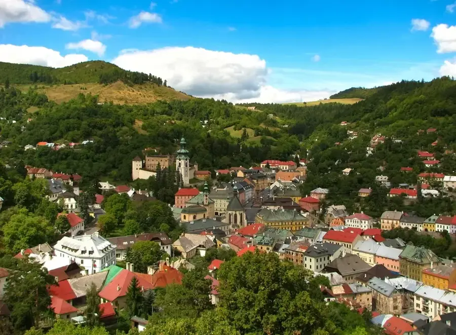
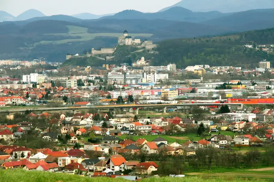
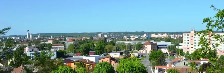
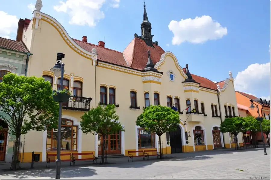
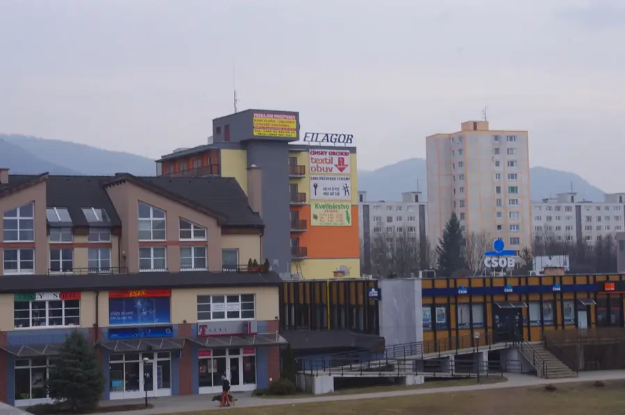
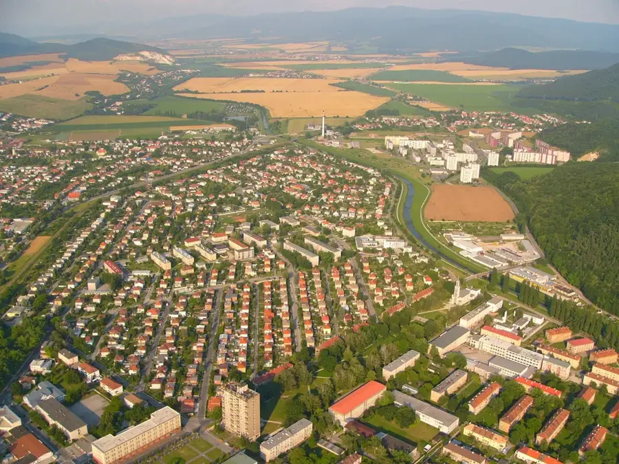
- Nearby: Turčianske Teplice (16 km)
Best time to visit & climate
The most pleasant time to visit is Jun–Aug.
| Jan | Feb | Mar | Apr | May | Jun | Jul | Aug | Sep | Oct | Nov | Dec | |
|---|---|---|---|---|---|---|---|---|---|---|---|---|
| Avg °C | -5 | -3 | 1 | 7 | 12 | 16 | 18 | 18 | 13 | 7 | 3 | -3 |
| Rain mm | 61 | 53 | 56 | 49 | 88 | 94 | 101 | 79 | 75 | 65 | 59 | 58 |
📋 Practical info
Geography
Explore nearby
Notable places around
Route planner — Car & Motorhome
Where do you start? We build the route here, with stops and country notes along the way.
© OpenStreetMap contributors · OpenRouteService
Sights in the town Ostredok (3)
Sights nearby
Frequently asked questions
Is Ostredok the highest mountain in the Greater Fatra?
What is the terrain like on the summit?
Which trail leads to the summit?
Are there water sources along the path?
Is the mountain suitable for ski touring in winter?
Ostredok: where is it located?
Ostredok: what is there to see?
Ostredok: when is the best time to visit?
Ostredok: why is it worth visiting?

Nearby cities


History & landmarks