Plizio Visual Lab
Little Carpathians
Weather…
Water temperature…
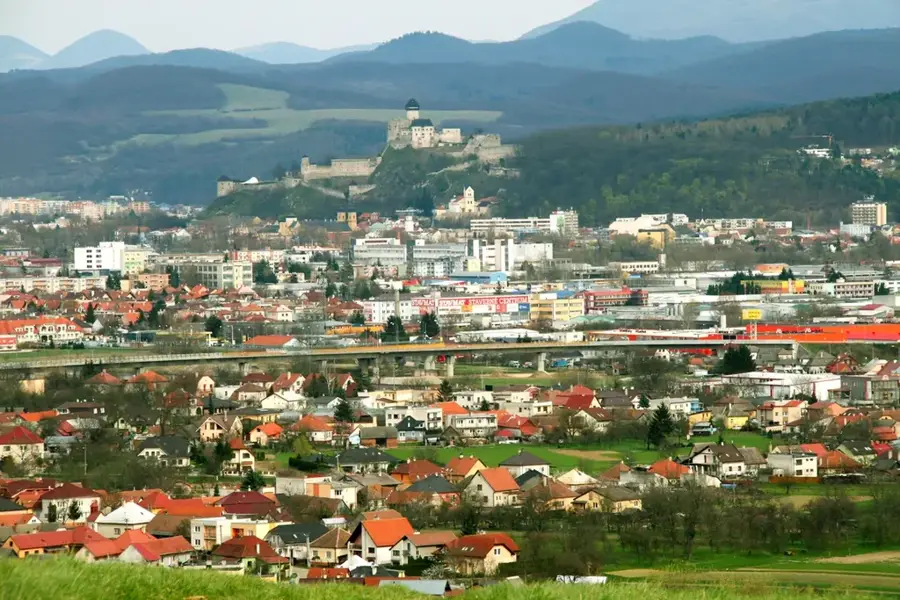
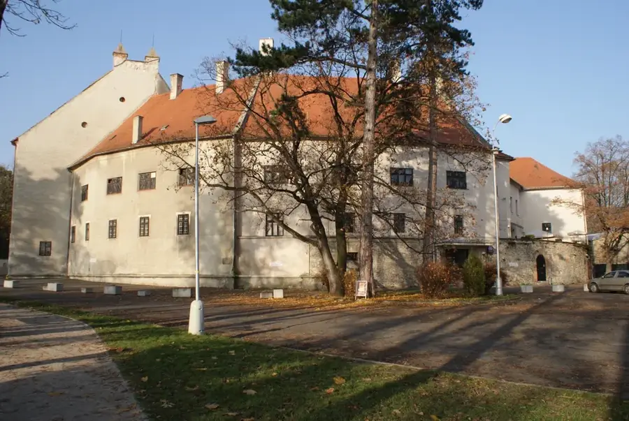
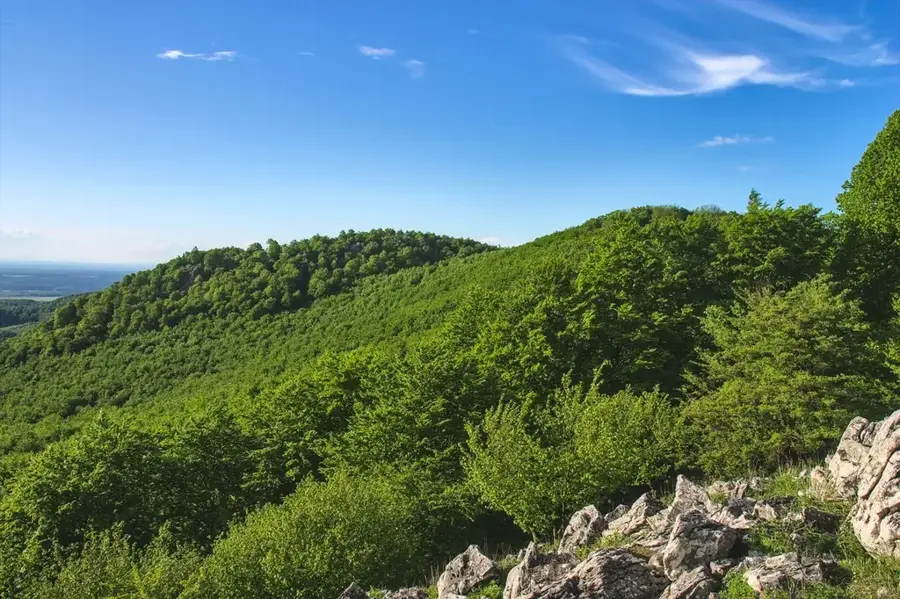
The Little Carpathians constitute the westernmost fringe of the Carpathian arc in Slovakia, stretching from Bratislava towards the northeast to Nové Mesto nad Váhom. This crystalline mountain range is primarily composed of granite and limestone, which has facilitated the creation of karst features such as the Driny Cave, the only cave open to the public in the area. The highest peak is Záruby, reaching an elevation of 768 meters amidst dense deciduous forests of beech and oak. Historically, the southeastern slopes have been a premier wine-growing region since Roman times, now showcased through the Little Carpathian Wine Route. The strategic military importance of the range is evidenced by several well-preserved castles and ruins, including Červený Kameň, Smolenice, and Devín, which historically guarded the Kingdom of Hungary's borders. Today, the range serves as a vital recreational hub for the capital city, offering extensive networks for hiking, cycling, and cultural exploration.
- Location: Slovakia
- Top sights: Kuchyňa · Skalnatá · Javorina
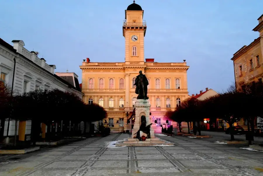
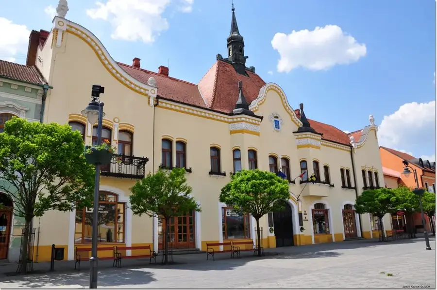
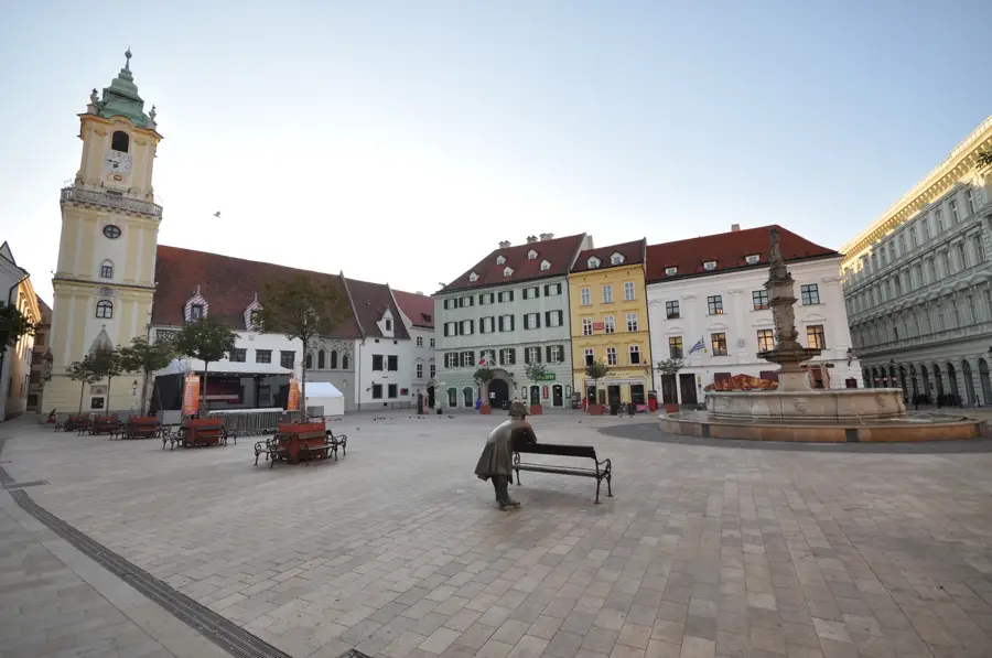
- Nearby: Modra (11 km)
Best time to visit & climate
The most pleasant time to visit is Jun–Aug.
| Jan | Feb | Mar | Apr | May | Jun | Jul | Aug | Sep | Oct | Nov | Dec | |
|---|---|---|---|---|---|---|---|---|---|---|---|---|
| Avg °C | -2 | 0 | 4 | 10 | 15 | 20 | 22 | 21 | 16 | 10 | 5 | -1 |
| Rain mm | 42 | 36 | 40 | 35 | 65 | 66 | 68 | 65 | 64 | 47 | 42 | 41 |
📋 Practical info
Geography
Facts
- The highest peak, Záruby, stands at an altitude of 768 meters.
- The mountain range extends approximately 100 kilometers in length.
- Driny Cave is the only karst cave in the range accessible to tourists.
- The region is home to the famous Little Carpathian Wine Route.
- The Malé Karpaty Protected Landscape Area was established in 1976.
- It serves as a geomorphological bridge between the Alps and the Carpathians.
Explore nearby
Notable places around
Route planner — Car & Motorhome
Where do you start? We build the route here, with stops and country notes along the way.
© OpenStreetMap contributors · OpenRouteService
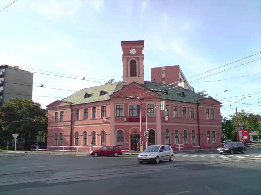
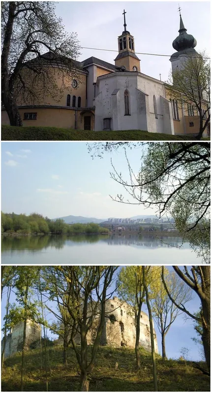
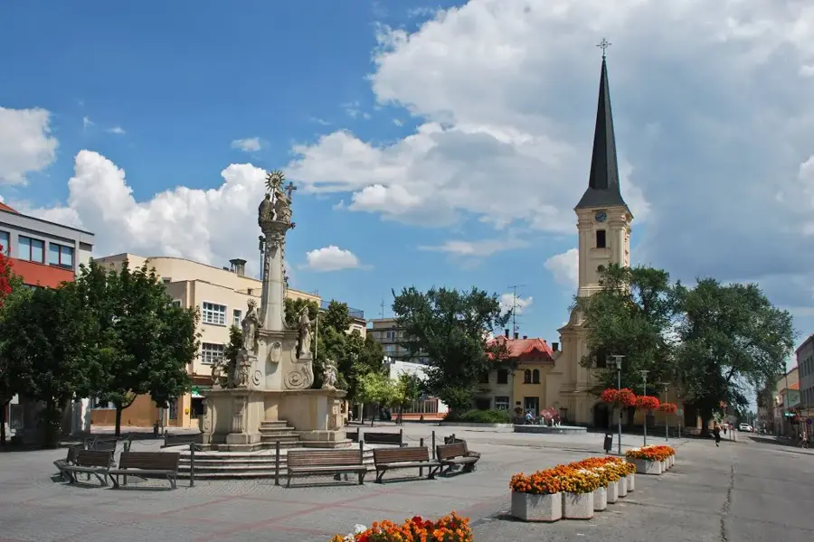
Sights in the town Little Carpathians (4)
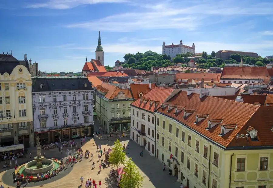
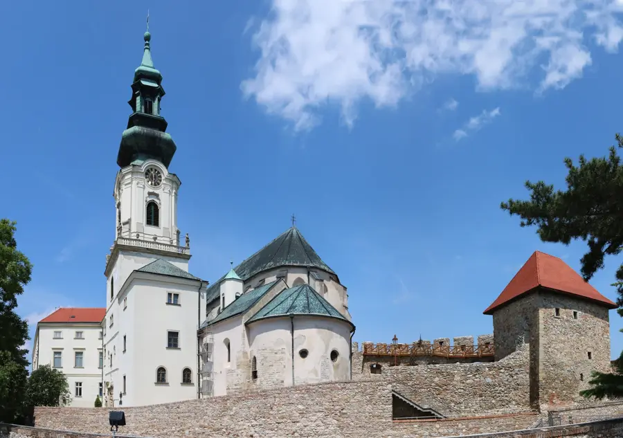
Sights nearby
Frequently asked questions
What makes the Little Carpathians so popular?
Which castle is the most famous?
Are there caves in these mountains?
Is the region known for wine?
What is the highest mountain in the Little Carpathians?
Little Carpathians: where is it located?
Little Carpathians: what is there to see?
Little Carpathians: when is the best time to visit?
Little Carpathians: why is it worth visiting?

Nearby cities