Plizio Visual Lab
Eastern Slovak Lowland

Weather…
Water temperature…
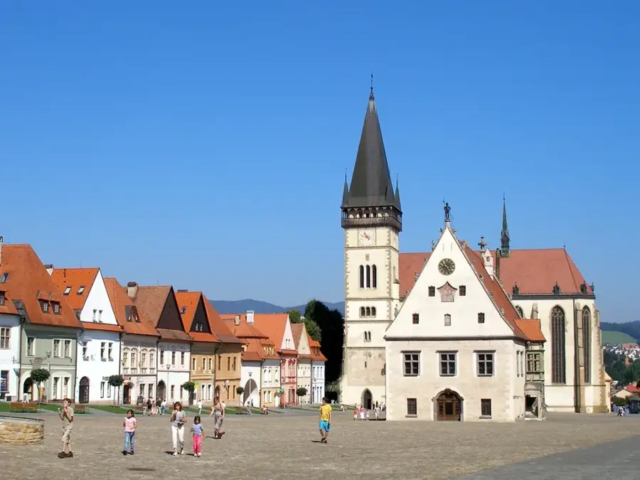
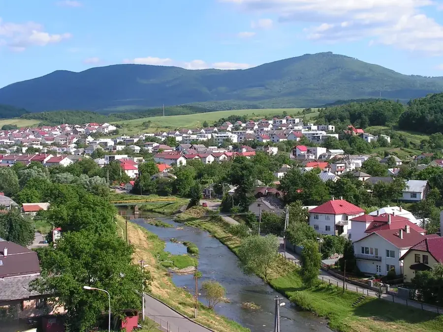
The Eastern Slovak Lowland (Východoslovenská nížina) spans the southeastern corner of Slovakia, geographically representing the northernmost extension of the Great Hungarian Plain. This exceedingly flat, alluvial landscape, influenced by a warmer and slightly more continental climate, contains the lowest absolute topographic point in the entire country at just 94 meters above sea level near the village of Klin nad Bodrogom. Historically characterized by vast swamps and sprawling floodplain forests, the region was heavily transformed through extensive drainage channel systems and the regulation of major rivers like the Bodrog, Latorica, and Laborec to facilitate large-scale agriculture. On the slightly undulating northern fringes of this plain, where it meets the foothills of the volcanic Zemplín Mountains, lies the prestigious Slovak portion of the Tokaj wine region, globally celebrated for its exceptional sweet dessert wines. Despite intense agricultural development, vital fragments of the original riparian forests and rare bog oak habitats survive along the riverbanks, serving as crucial wetlands for migratory birds.
- Location: Slovakia
- Nearby: Trebišov (19 km)
Best time to visit & climate
The most pleasant time to visit is Jun–Aug.
| Jan | Feb | Mar | Apr | May | Jun | Jul | Aug | Sep | Oct | Nov | Dec | |
|---|---|---|---|---|---|---|---|---|---|---|---|---|
| Avg °C | -3 | -1 | 4 | 11 | 16 | 20 | 22 | 22 | 16 | 10 | 4 | -2 |
| Rain mm | 41 | 38 | 38 | 41 | 74 | 78 | 85 | 62 | 55 | 55 | 46 | 47 |
📋 Practical info
Geography
Explore nearby
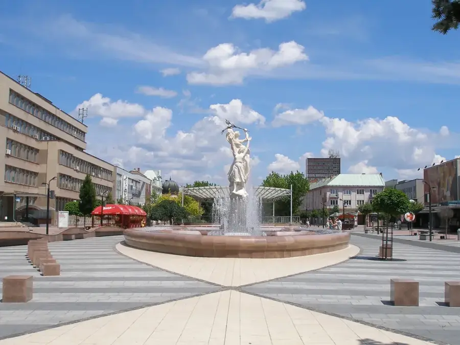
Notable places around
Route planner — Car & Motorhome
Where do you start? We build the route here, with stops and country notes along the way.
© OpenStreetMap contributors · OpenRouteService
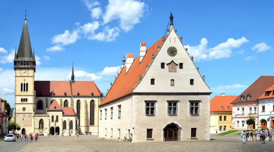
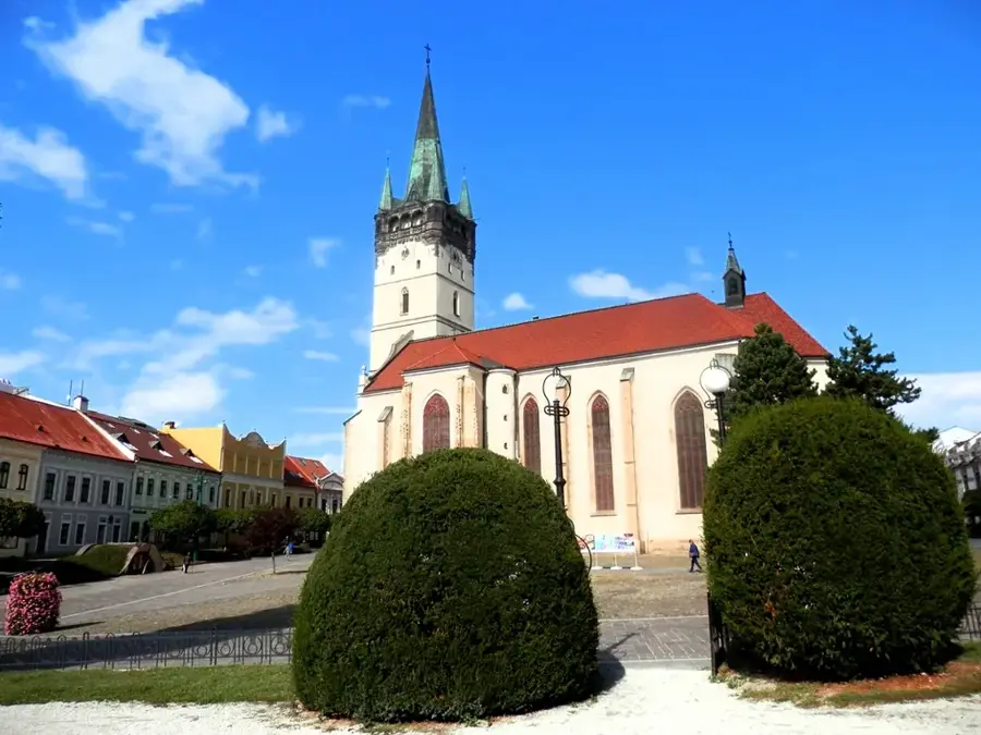
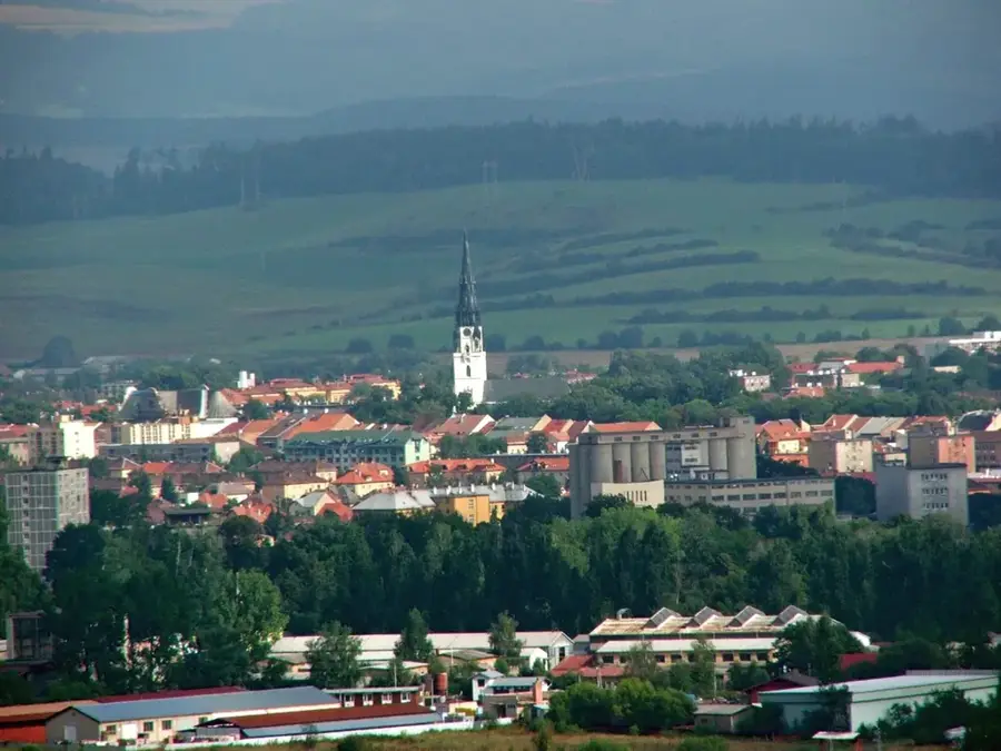
Sights in the town Eastern Slovak Lowland (1)
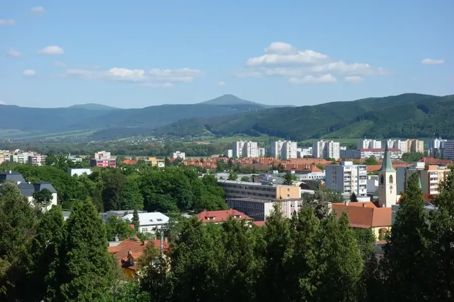
Sights nearby
Frequently asked questions
Where is the East Slovak Lowland located?
What is special about the village of Klin nad Bodrogom?
Is wine produced in this region?
Are there important wetlands?
What is the climate like in this lowland?
Eastern Slovak Lowland: where is it located?
Eastern Slovak Lowland: when is the best time to visit?
Eastern Slovak Lowland: why is it worth visiting?

Nearby cities
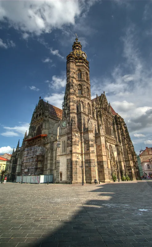


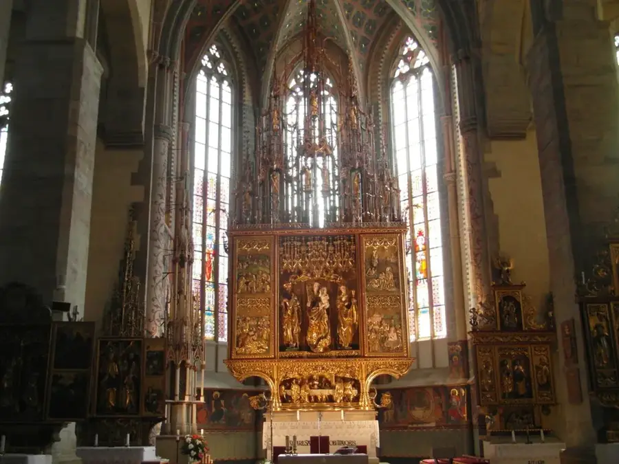
History & landmarks