Plizio Visual Lab
Colonarie River
Weather…
Water temperature…
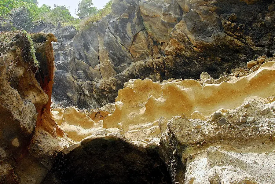
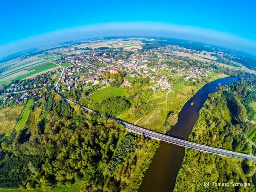
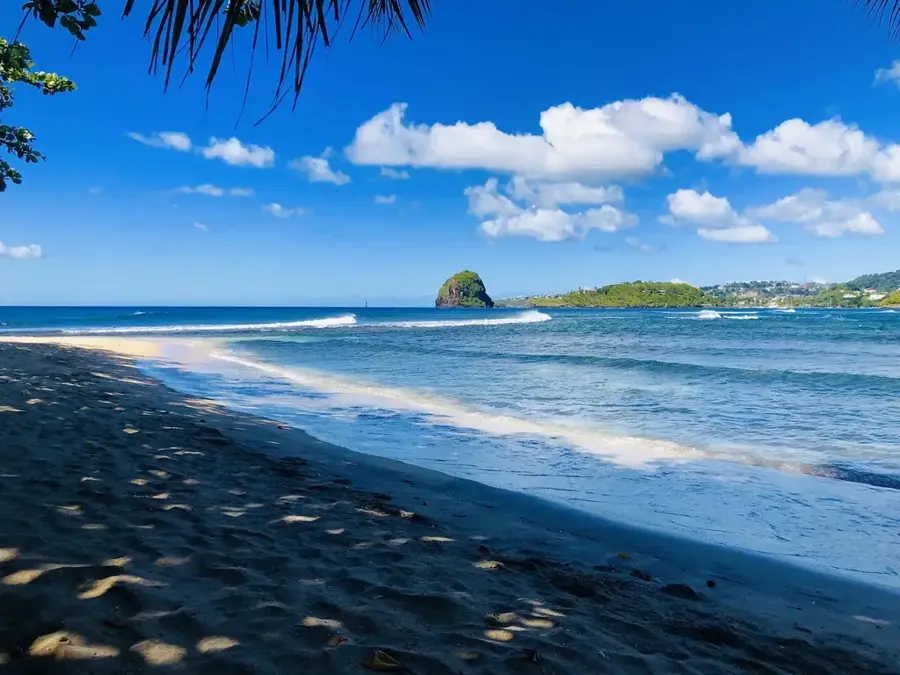
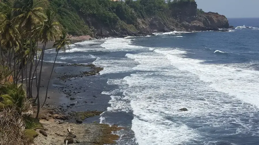
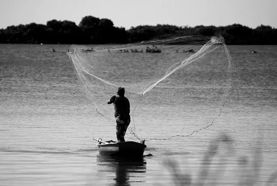
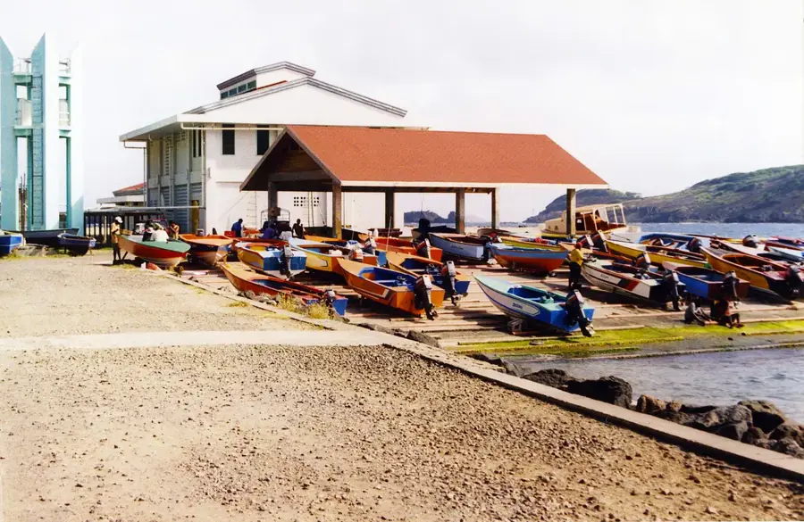
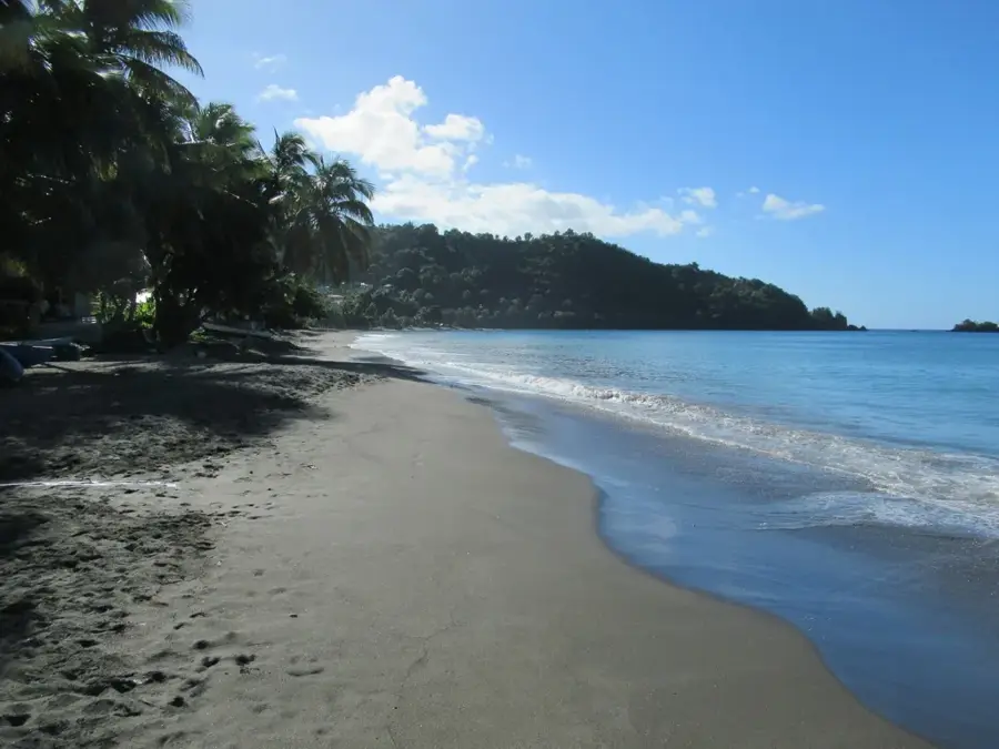
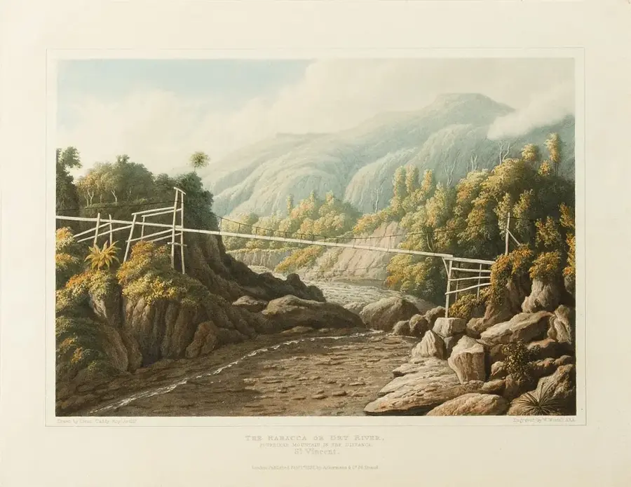
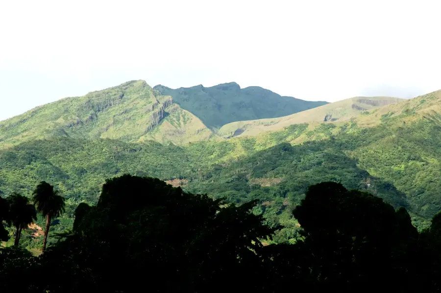
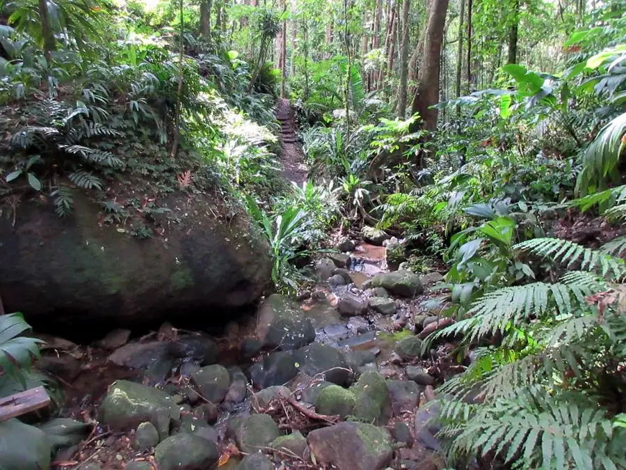
The Colonarie River is one of the most significant waterways on the island of Saint Vincent, flowing from the central mountains eastward to the Atlantic Ocean. As the longest river on the island, it plays a central role in the ecology and economy of the windward coast. The river's catchment area encompasses vast reaches of fertile land that have been used for agriculture for generations, particularly for banana and arrowroot cultivation. Geographically, the Colonarie River is fed by numerous tributaries in the Morne Garu mountains and plunges through steep cascades in its upper reaches before flattening out toward the sea. The river is also an important source of renewable energy; it hosts hydroelectric plants that contribute to the island's power supply. Diverse ecosystems are found along its banks, providing sanctuary for a variety of birds and aquatic life. The mouth of the Colonarie River is marked by black volcanic sands, a typical feature of Saint Vincent's geological composition. Despite its utility, the river is prone to flooding during the rainy season, requiring careful management of the riverbanks.
- Location: St. Vincent & Grenadines
- Top sights: Colonarie · Byera River · Grand Sable River
- Nearby: Calliaqua (10 km)
Best time to visit & climate
The most pleasant time to visit is Jan–Mar.
| Jan | Feb | Mar | Apr | May | Jun | Jul | Aug | Sep | Oct | Nov | Dec | |
|---|---|---|---|---|---|---|---|---|---|---|---|---|
| Avg °C | 27 | 26 | 27 | 27 | 28 | 28 | 28 | 28 | 28 | 28 | 28 | 27 |
| Rain mm | 27 | 15 | 20 | 21 | 41 | 68 | 74 | 88 | 88 | 107 | 89 | 43 |
📋 Practical info
Geography
Facts
- Considered the longest river on the island of Saint Vincent.
- Originates in the Morne Garu mountain massif in the island's center.
- Flows eastward and empties into the Atlantic Ocean near Colonarie settlement.
- Hosts hydroelectric power stations that have operated since the 1950s.
- Drains the windward coast's most productive agricultural valley.
- Known for its dramatic gorges and cascades in the upper reaches.
Explore nearby
Notable places around
Route planner — Car & Motorhome
Where do you start? We build the route here, with stops and country notes along the way.
© OpenStreetMap contributors · OpenRouteService
Sights in the town Colonarie River (3)
Sights nearby
Frequently asked questions
Is the Colonarie River suitable for swimming?
Are there hiking trails there?
What should I take?
How is the current?
Is the area developed for tourism?
Colonarie River: where is it located?
Colonarie River: what is there to see?
Colonarie River: when is the best time to visit?
Colonarie River: why is it worth visiting?
Nearby cities


History & landmarks
Nature
More places