Plizio Visual Lab
Falls of Baleine

Weather…
Water temperature…
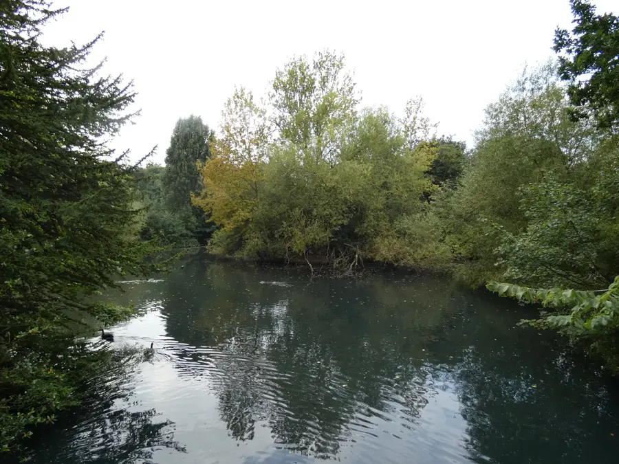
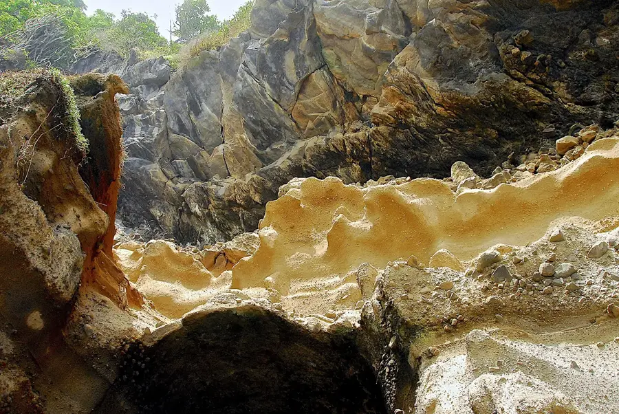
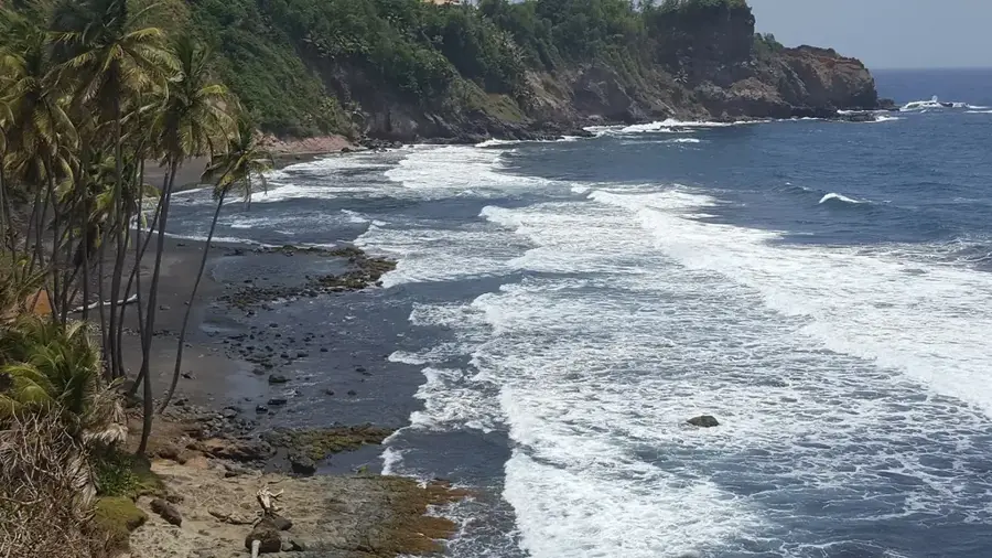
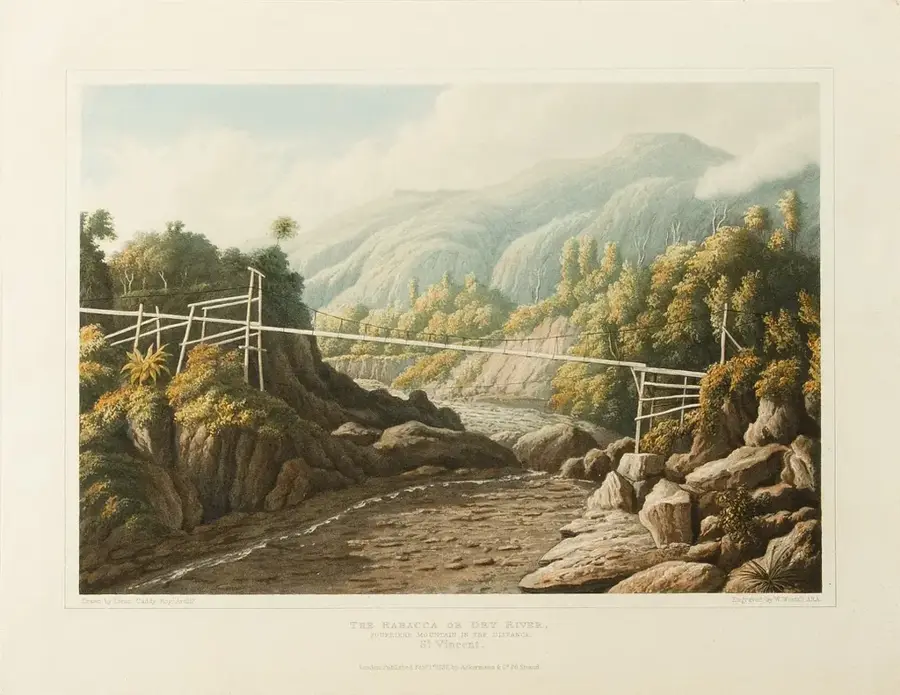
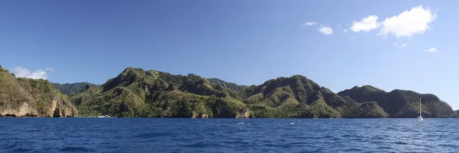
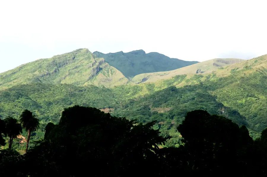
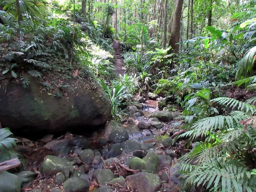
The Falls of Baleine is a spectacular 18-meter waterfall located at the remote northern tip of Saint Vincent. Geographically, it is tucked away in a deep canyon accessible only by boat, which has preserved its pristine and wild character. The water plunges over a sheer volcanic rock face into a deep, boulder-rimmed basin that invites swimming. The surrounding area is characterized by dense tropical rainforest, home to numerous endemic birds and rare plant species. In the past, the falls have been impacted by volcanic activity and landslides, which often makes access difficult or impossible, but this only cements its status as a mystical natural monument. The geology of the falls showcases the rugged layers of pyroclastic material typical of the island's northern region. Visiting the Falls of Baleine is considered one of the most exclusive natural experiences in Saint Vincent, requiring careful planning around weather and sea conditions.
- Location: St. Vincent & Grenadines
- Nearby: Chateaubelair (6 km)
Best time to visit & climate
The most pleasant time to visit is Jan–Mar.
| Jan | Feb | Mar | Apr | May | Jun | Jul | Aug | Sep | Oct | Nov | Dec | |
|---|---|---|---|---|---|---|---|---|---|---|---|---|
| Avg °C | 27 | 26 | 26 | 27 | 28 | 28 | 28 | 28 | 29 | 28 | 28 | 27 |
| Rain mm | 59 | 38 | 39 | 71 | 74 | 114 | 122 | 144 | 144 | 159 | 139 | 74 |
📋 Practical info
Geography
Facts
- Located at the northernmost point of mainland St. Vincent.
- The height of the waterfall is approximately 18 meters (60 feet).
- Accessible only by sea via boat trips.
- Originates from the slopes of the La Soufrière volcano.
- Temporarily closed in 1992 due to a massive landslide.
- The plunge pool at the base is up to 3 meters deep.
Explore nearby
Notable places around
Route planner — Car & Motorhome
Where do you start? We build the route here, with stops and country notes along the way.
© OpenStreetMap contributors · OpenRouteService
Sights nearby
Frequently asked questions
What is the best way to get to the Falls of Baleine?
Is the water suitable for swimming?
Are there dining facilities there?
Is a tour guide necessary?
Is it good for photography?
Falls of Baleine: where is it located?
Falls of Baleine: when is the best time to visit?
Falls of Baleine: why is it worth visiting?
Nearby cities


History & landmarks

Nature
More places