Plizio Visual Lab

Chateaubelair

Plizio editorial teamData Sources
town
—°5
Chateaubelair (St. Vincent & Grenadines)
ℹ️

Practical info — Chateaubelair

🌤 Weather — 5 days

📍 Nearby

Sights nearby

💡 Tips

  • Chateaubelair is the prime starting point for hiking the La Soufrière volcano; always hire a certified local guide for the trek.
  • The drive from Kingstown is incredibly scenic but winding; taking a water taxi up the leeward coast features a faster and striking alternative.
  • Expect striking black sand beaches typical of this volcanic region, which get very hot under the midday sun-wear water shoes.
  • Tourist infrastructure is minimal here. Bring any specific hiking gear or specialty snacks you might need from the capital.

🍽 Food

🍽
Roasted Breadfruit & Jackfish

The national dish of St. Vincent. Look for it at casual local eateries or roadside food stalls near the bay.

🍽
Pelau

A savory one-pot dish of rice, pigeon peas, and meat, great for fueling up before or after a volcano hike.

🍽
Fresh Coconut Water

Buy freshly cut coconuts from local vendors along the village streets to stay hydrated.

🛍 Shopping · 🧘 Quiet spots

🛍
Local Hot Sauce

Ask around small grocery shops for homemade pepper sauces, a spicy and authentic Vincentian souvenir.

🛍
Fresh Produce Stands

Local farmers sell fresh fruits and ground provisions along the main road, handy for trekking snacks.

🧘
Richmond Beach

A stark, beautiful black sand beach just north of town, rarely crowded and very peaceful.

🧘
Dark View Falls

Located a short drive south, these twin waterfalls offer a tranquil nature escape and refreshing natural pools.

Chateaubelair is the largest town on the northwestern coast of Saint Vincent, serving as the administrative capital of Saint David Parish. Set within a broad bay, the town is home to a deep natural harbor that was historically significant for the island's sugar and banana exports during the colonial era. Today, Chateaubelair is most famous as the primary staging point for treks to the La Soufrière volcano. Hikers typically begin their ascent of the volcano's leeward side from this town, navigating through lush rainforests and steep volcanic ridges. The surrounding region is characterized by exceptionally fertile soil due to past volcanic activity, making agriculture a mainstay of the local economy. Despite being evacuated several times due to volcanic eruptions, the town remains a resilient community of fishers and farmers, offering visitors a gateway to the rugged beauty of northern Saint Vincent and its traditional Caribbean way of life.

Best time to visit & climate

The most pleasant time to visit is Jan–Mar.

JanFebMarAprMayJunJulAugSepOctNovDec
Avg °C272626272828282829282827
Rain mm593839717411412214414415913974

Geography

Population
735 (2026)
Coordinates
13.28890, -61.23940

Facts

  • Chateaubelair is located near the impressive Trinity Falls waterfall system.
  • The town was a strategic historical site during the Carib Wars.
  • The harbor is a vital base for the local artisanal fishing fleet.
  • Guided hikes to the summit of La Soufrière frequently depart from here.
  • The surrounding parish is a major center for banana and cocoa production.
  • The deep bay provides excellent anchorage sheltered from Atlantic winds.

Explore nearby

Notable places around

Route planner — Car & Motorhome

Where do you start? We build the route here, with stops and country notes along the way.

Vehicle
Only stops with (optional):

© OpenStreetMap contributors · OpenRouteService

Sights in the town Chateaubelair (5)

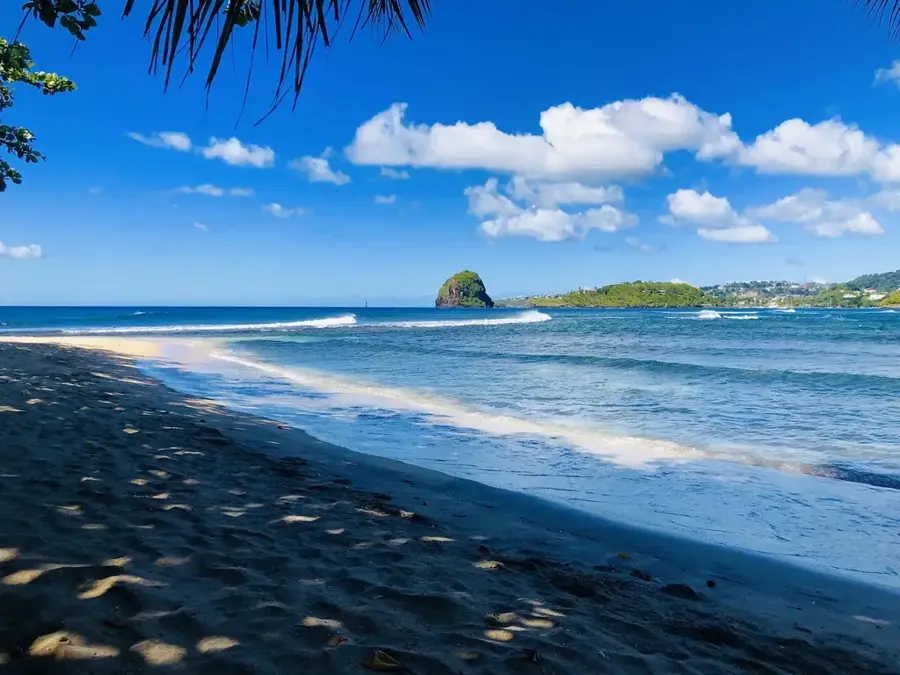
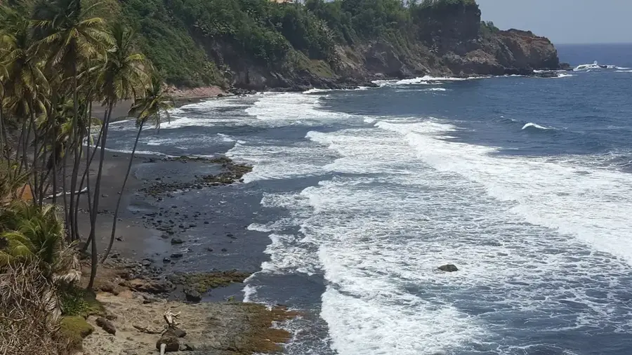
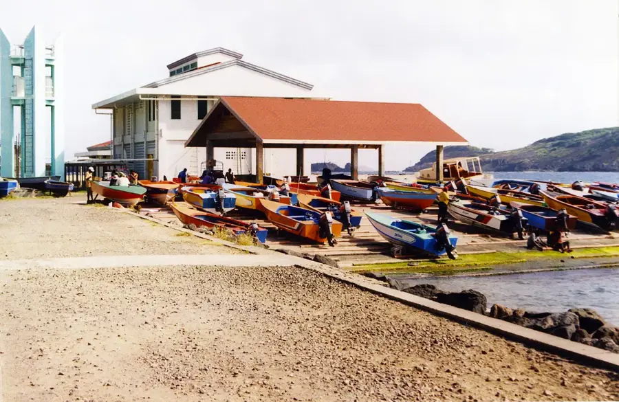
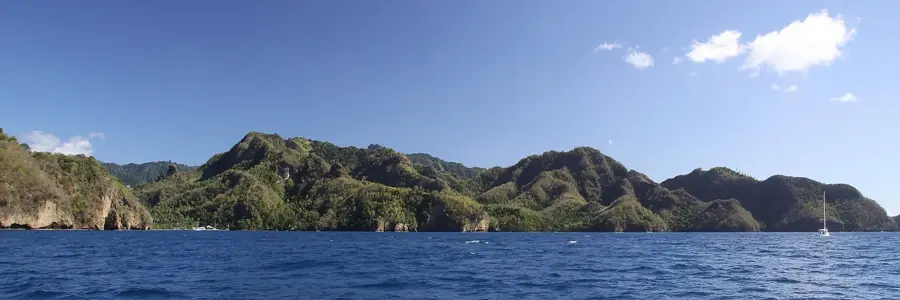
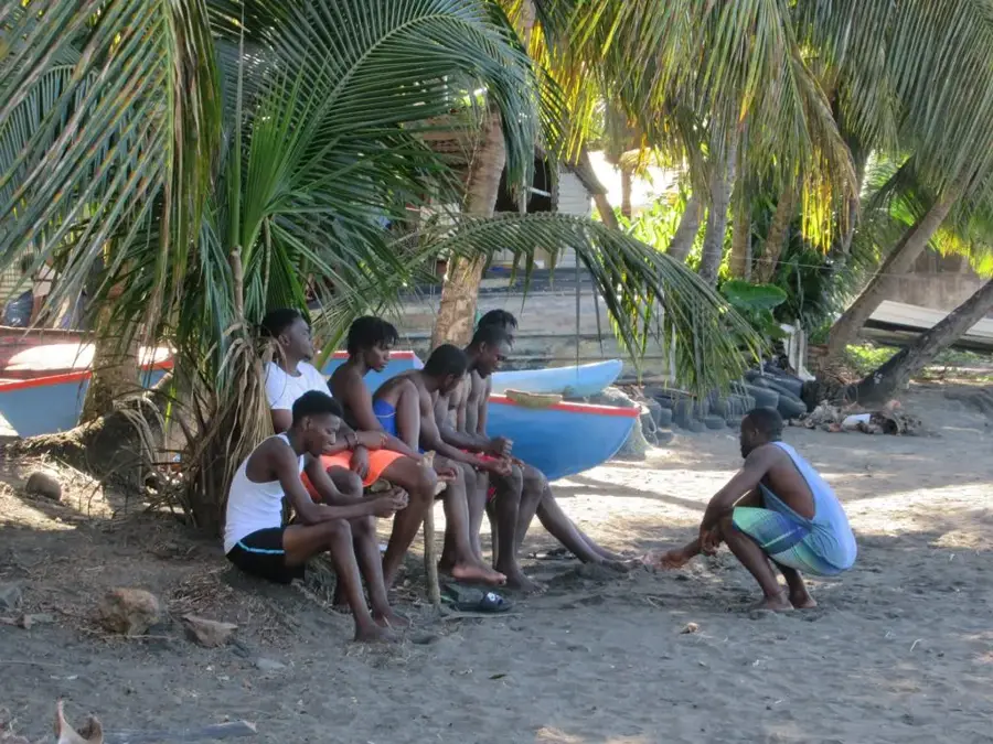
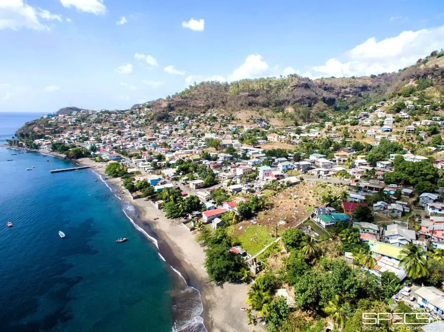
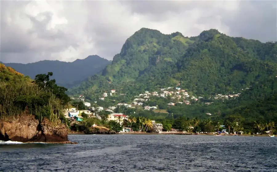
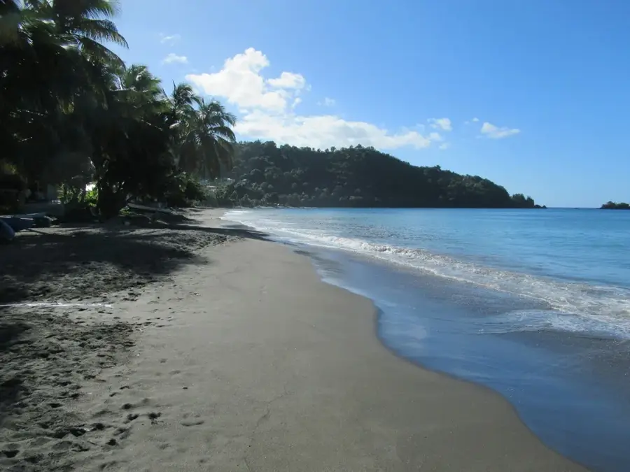
Wallibou Beach🎡 recreation

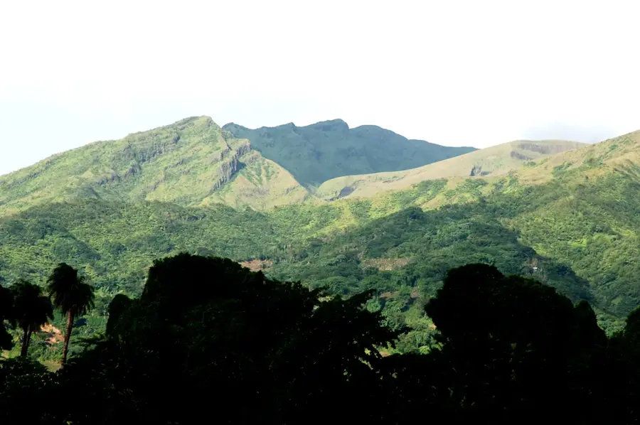
Surrounded by the impressive landscape of Chateaubelair, Wallibou Beach has an unspoiled stretch of coastline on Saint Vincent. The rugged, authentic atmosphere invites exciting exploration and refreshing breaks by the sea. It is recommended to bring water shoes for a more comfortable entry into the water.

Richmond Beach🎡 recreation

Situated along the coast of Chateaubelair, Richmond Beach is a worthwhile destination for beach lovers on Saint Vincent. The peaceful aura of the area ensures relaxing hours under the Caribbean sun. Pack a nice picnic to make the absolute most of your time on the shore.

Volcano Oservatory🌿 nature

Observatory monitoring the active La Soufrière volcano near Chateaubelair.

The Thirteen Stones of Chateaubelair📍 landmark

Megalithic alignment of thirteen stones near Chateaubelair.

Darkview Falls📍 landmark

Waterfall in the rainforest near Chateaubelair.

Frequently asked questions

What makes Chateaubelair special?
Its memorable location at the foot of the mountains and the authentic local atmosphere.
Are there hiking opportunities in Chateaubelair?
Yes, there are trails leading into the mountainous landscape; a guide is advisable for difficult paths.
Is Chateaubelair accessible?
Infrastructure is simple and often not fully accessible.
When should I visit Chateaubelair?
In the dry season from December to April, hiking is most pleasant.
Do I need a lot of cash in Chateaubelair?
Yes, card payments are not always possible in smaller places, so carry cash.
Chateaubelair: where is it located?
Chateaubelair is located in St. Vincent & Grenadines.
Chateaubelair: what is there to see?
Highlights include Wallibou Beach, Richmond Beach, Volcano Oservatory.
Chateaubelair: when is the best time to visit?
The most pleasant time to visit is Jan, Mar.
Chateaubelair: why is it worth visiting?
Chateaubelair is the largest town on the northwestern coast of Saint Vincent, serving as the administrative capital of Saint David Parish.
View on map → The Top 50 Attractions → OpenStreetMap →

Nearby cities

History & landmarks

Nature

More places