Plizio Visual Lab
Mesopotamia Valley
Weather…
Water temperature…
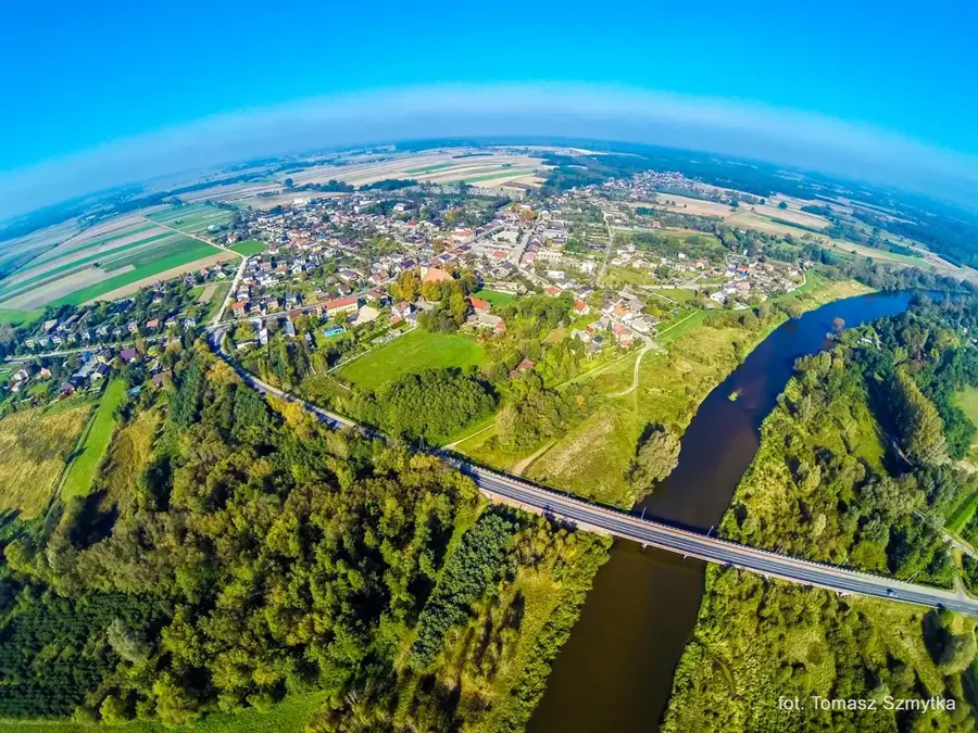
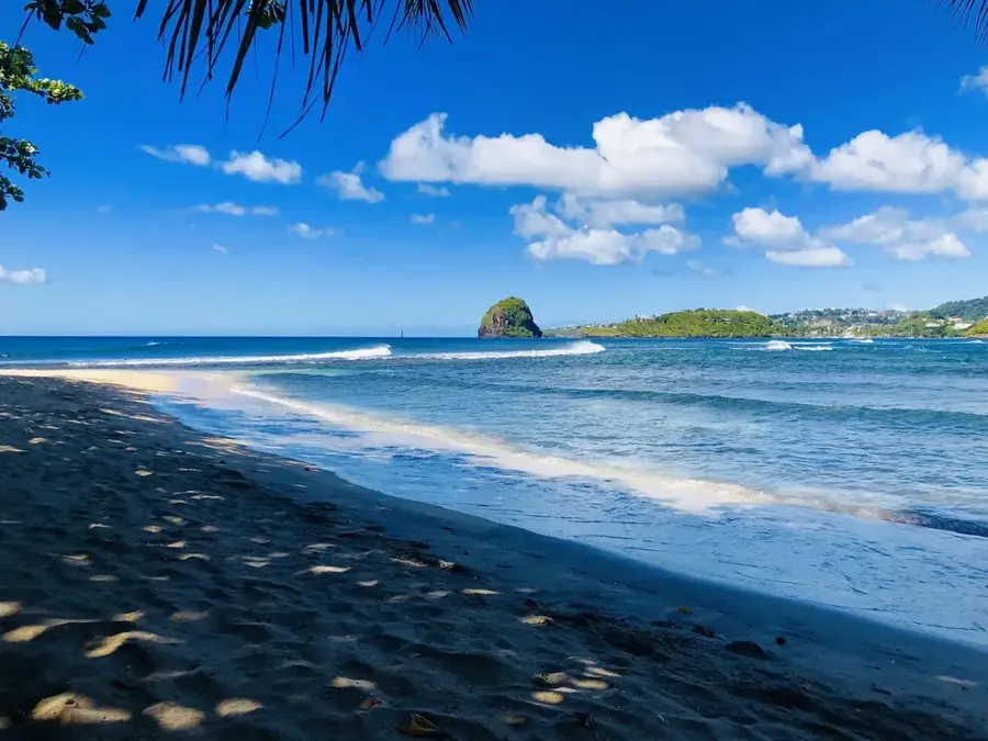
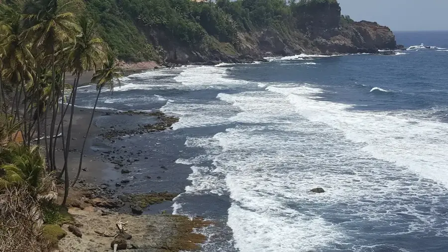
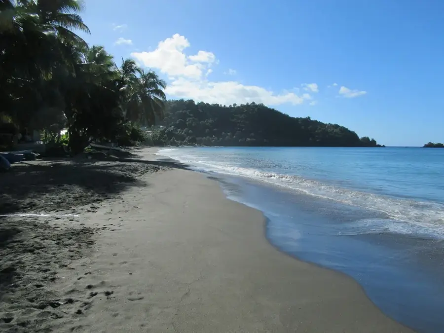
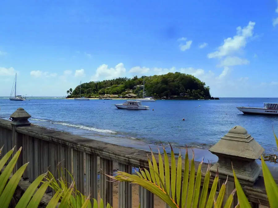
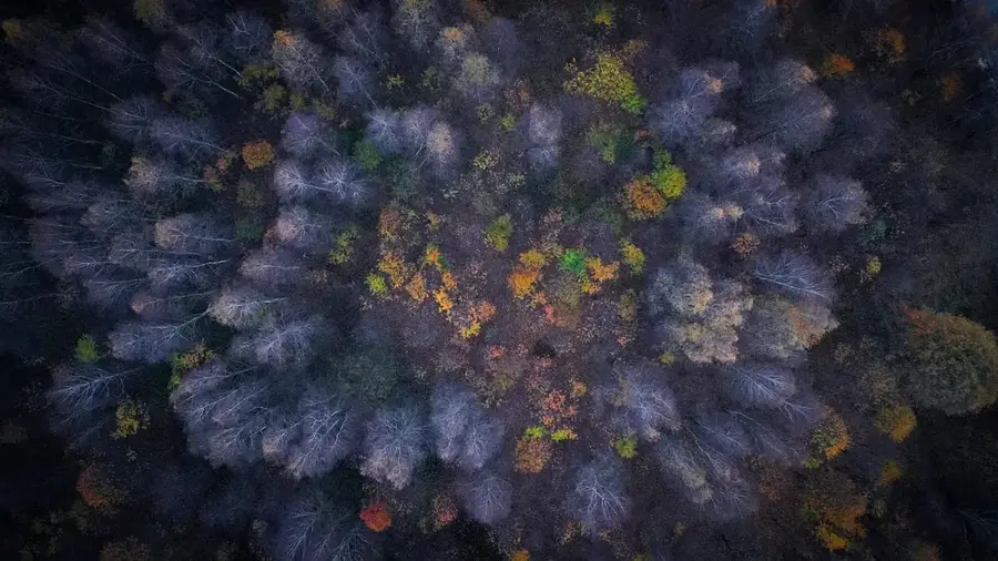
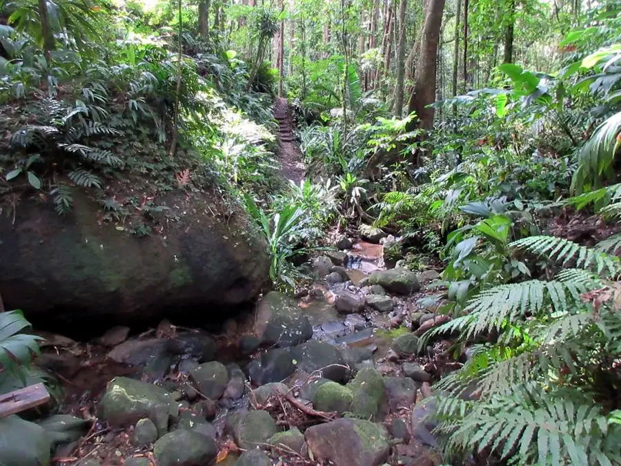
Mesopotamia Valley is one of the most distinctive geographic formations on Saint Vincent, stretching across the island's southeastern interior. Geologically, it is an erosional valley carved by the Yambou and Marriaqua rivers into volcanic ridges over millions of years. The valley is surrounded by steep, often cloud-shrouded peaks that create a dramatic backdrop for the fertile lowlands. Its soil is among the most mineral-rich in the Caribbean, a direct result of ancient volcanic ash deposits. This natural fertility fosters lush vegetation, ranging from intensively cultivated farmlands to remnants of primary rainforest on higher slopes. The valley's hydrological system is significant for the entire island, feeding numerous springs and streams. Hiking along the surrounding ridges features spectacular panoramic views across the valley all the way to the Caribbean Sea. Preserving soil quality and preventing erosion are the primary ecological challenges in this dynamic natural environment.
- Location: St. Vincent & Grenadines
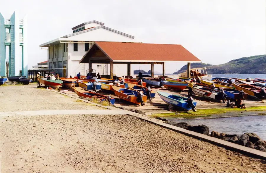
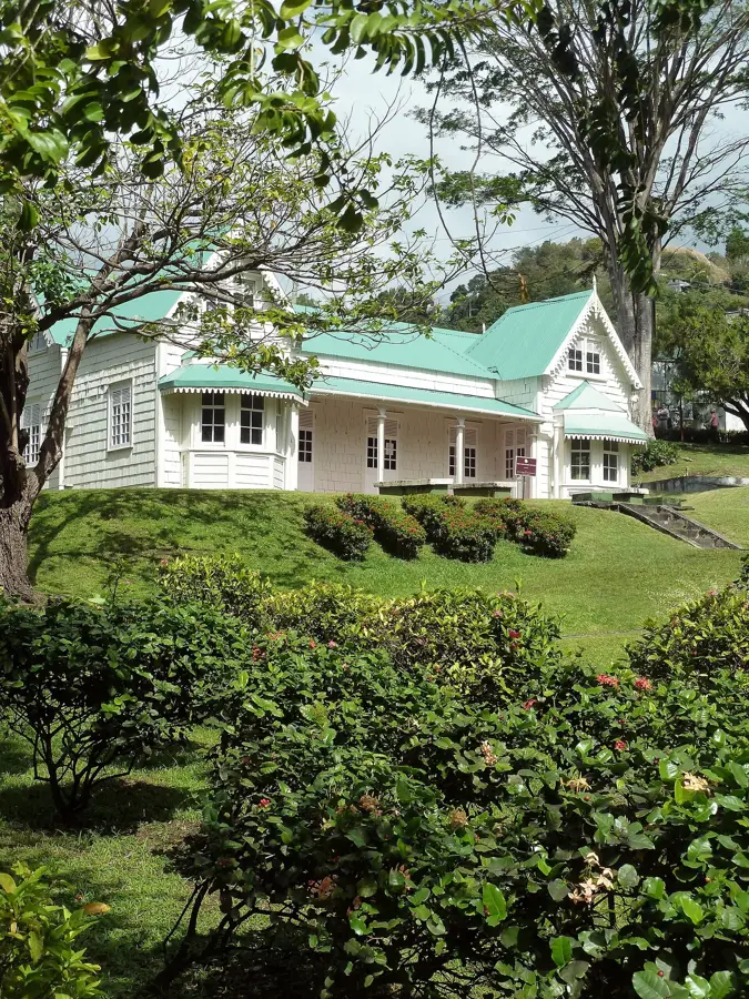
- Top sights: Mesopotamia, Saint Vincent and the Grenadines · Belmont, Saint Vincent and the Grenadines · Stubbs, Saint Vincent and the Grenadines
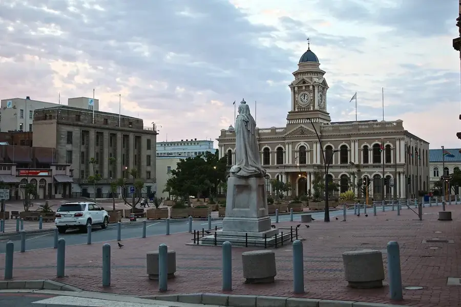
- Nearby: Kingstown (6 km)
Best time to visit & climate
The most pleasant time to visit is Jan–Mar.
| Jan | Feb | Mar | Apr | May | Jun | Jul | Aug | Sep | Oct | Nov | Dec | |
|---|---|---|---|---|---|---|---|---|---|---|---|---|
| Avg °C | 27 | 26 | 27 | 27 | 28 | 28 | 28 | 28 | 28 | 28 | 28 | 27 |
| Rain mm | 27 | 15 | 20 | 21 | 41 | 68 | 74 | 88 | 88 | 107 | 89 | 43 |
📋 Practical info
Geography
Facts
- Carved out by the Yambou and Marriaqua rivers over millennia.
- Often compared to ancient Mesopotamia due to its extreme fertility.
- The soil is composed of deep layers of volcanic ash and minerals.
- Surrounded by high mountain ridges including Grand Bonhomme.
- A vital watershed area for the southeastern portion of the island.
- Supports a vast array of tropical fruits, vegetables, and spices.
Explore nearby
Notable places around
Route planner — Car & Motorhome
Where do you start? We build the route here, with stops and country notes along the way.
© OpenStreetMap contributors · OpenRouteService
Sights in the town Mesopotamia Valley (3)
Sights nearby
Frequently asked questions
Is the Mesopotamia Valley climatically different?
What can be done in the area besides hiking?
Is the access road suitable for cars?
Are there souvenir shops?
How much time should I allocate?
Mesopotamia Valley: where is it located?
Mesopotamia Valley: what is there to see?
Mesopotamia Valley: when is the best time to visit?
Mesopotamia Valley: why is it worth visiting?
Nearby cities


History & landmarks
Nature

More places