Plizio Visual Lab
Petit Bonhomme

Weather…
Water temperature…
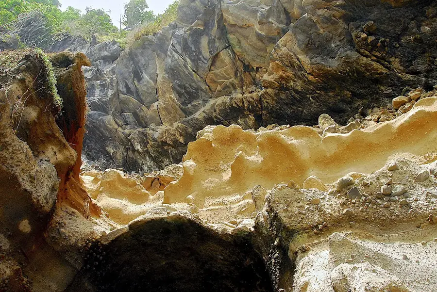
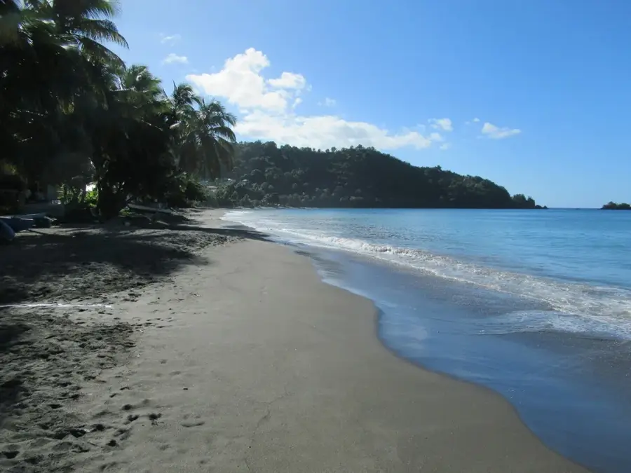
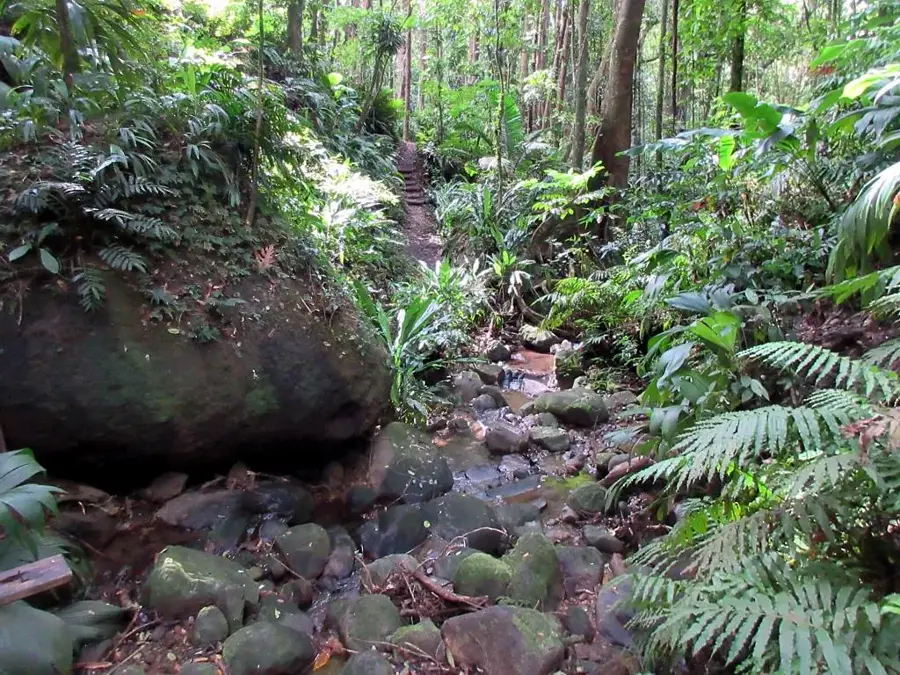
Petit Bonhomme is a distinctive mountain peak in the central mountain range of Saint Vincent, reaching an elevation of approximately 747 meters. It is part of a twin formation with the higher Grand Bonhomme and forms an essential component of the island's volcanic backbone. Geologically, Petit Bonhomme is a remnant of ancient volcanic activity, consisting of weathered lava domes and pyroclastic material. The peak is almost constantly shrouded in clouds, which has led to the development of dense montane rainforest and elfin forest on its slopes. These humid conditions support a variety of epiphytes, ferns, and mosses, as well as habitats for rare bird species like the Saint Vincent Parrot. For hikers, Petit Bonhomme is a challenging destination, as the trails are often steep and slippery due to the high humidity. The region serves as an important watershed, feeding several streams that flow into the Mesopotamia and Biabou valleys. The mountain is not only a geographical landmark but also a symbol of the pristine wilderness in the interior of Saint Vincent, protected from large-scale development.
- Location: St. Vincent & Grenadines
- Top sights: Vermont, Saint Vincent and the Grenadines · Richland Park
- Nearby: Calliaqua (4 km)
Best time to visit & climate
The most pleasant time to visit is Jan–Mar.
| Jan | Feb | Mar | Apr | May | Jun | Jul | Aug | Sep | Oct | Nov | Dec | |
|---|---|---|---|---|---|---|---|---|---|---|---|---|
| Avg °C | 27 | 26 | 27 | 27 | 28 | 28 | 28 | 28 | 28 | 28 | 28 | 27 |
| Rain mm | 27 | 15 | 20 | 21 | 41 | 68 | 74 | 88 | 88 | 107 | 89 | 43 |
📋 Practical info
Geography
Facts
- Reaches a maximum height of approximately 747 meters (2,451 feet).
- Located in the south-central part of the main island of Saint Vincent.
- Forms a pair of peaks together with Grand Bonhomme (970 m).
- Geologically composed of weathered volcanic rock and ash.
- A vital habitat for the endangered Saint Vincent Parrot.
- Trails to the summit are considered extremely slippery due to moisture.
Explore nearby
Notable places around
Route planner — Car & Motorhome
Where do you start? We build the route here, with stops and country notes along the way.
© OpenStreetMap contributors · OpenRouteService
Sights in the town Petit Bonhomme (2)
Sights nearby
Frequently asked questions
How difficult is climbing Petit Bonhomme?
Are there marked trails to the summit?
What are the weather risks on the mountain?
Is a permit required for the hike?
What equipment is essential for the ascent?
Petit Bonhomme: where is it located?
Petit Bonhomme: what is there to see?
Petit Bonhomme: when is the best time to visit?
Petit Bonhomme: why is it worth visiting?
Nearby cities


History & landmarks

Nature

More places