Plizio Visual Lab
Grand Bonhomme

Weather…
Water temperature…
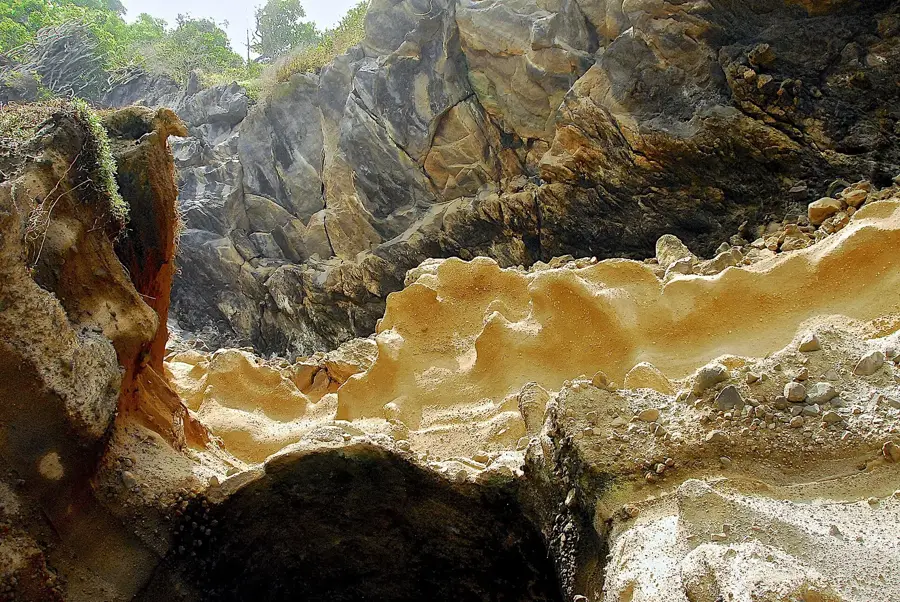
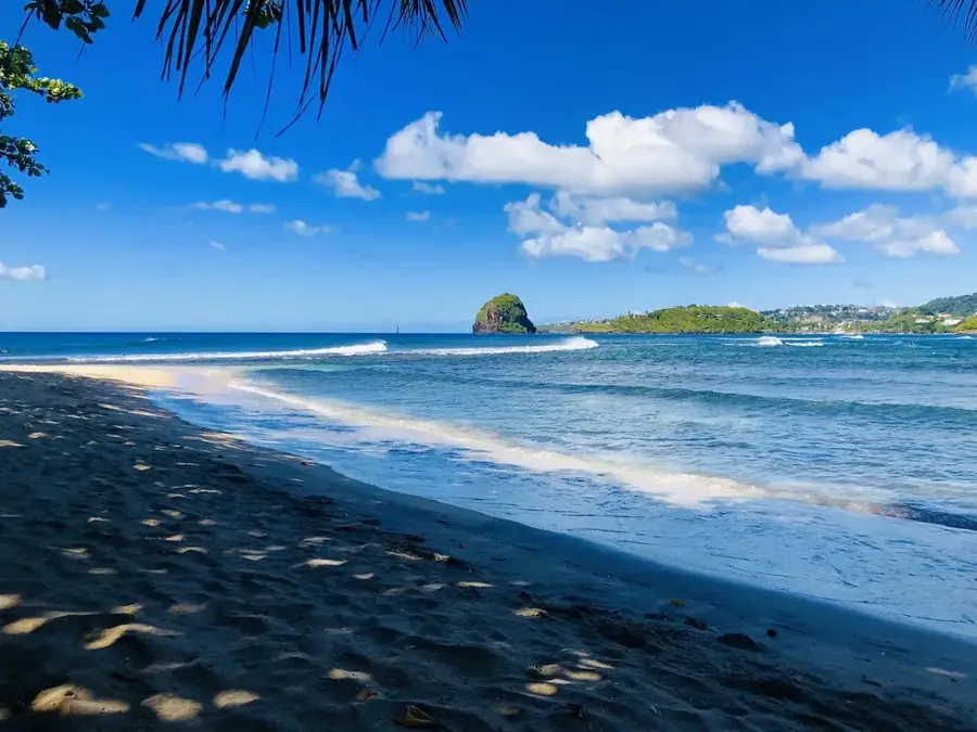
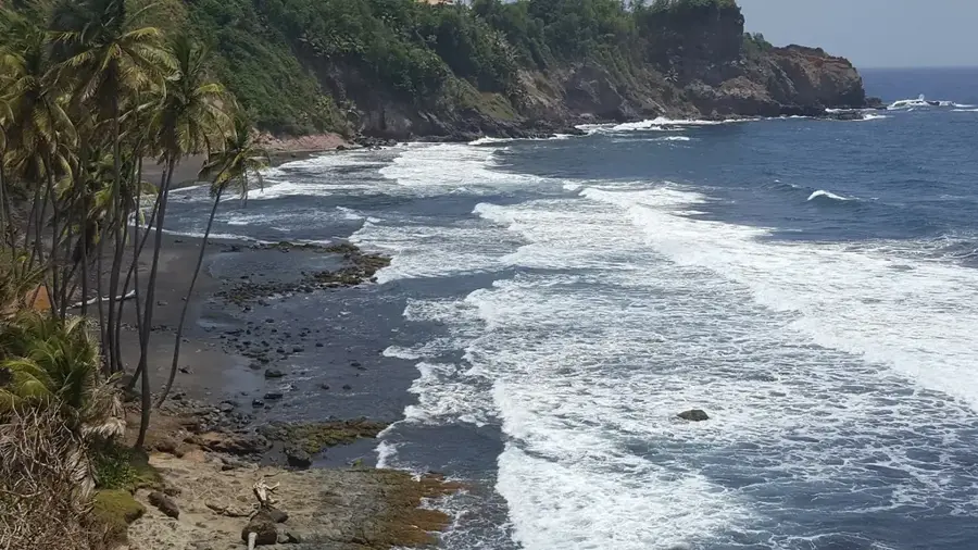
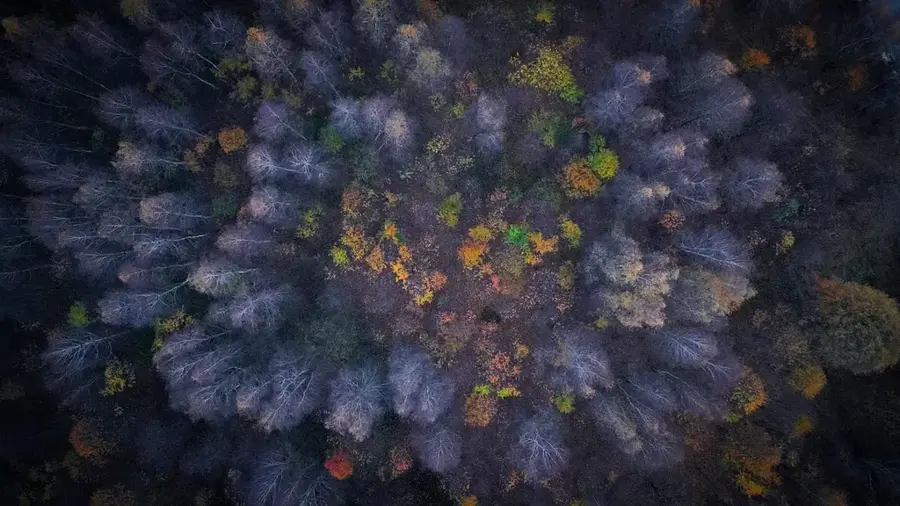
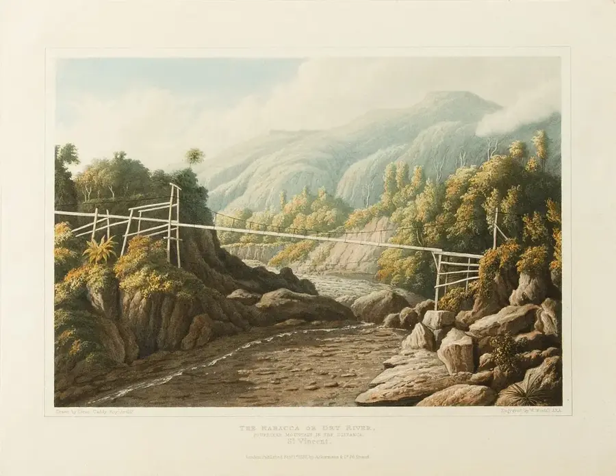
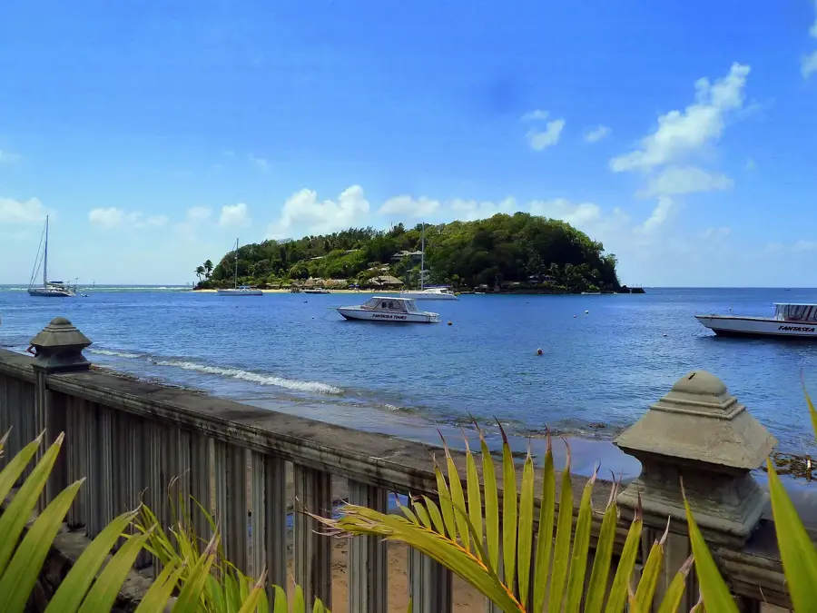
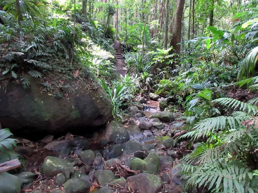
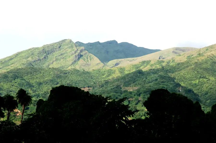
Grand Bonhomme is a prominent peak in the central mountain range of Saint Vincent, reaching an elevation of approximately 970 meters. It serves as the centerpiece of the mountain spine that divides the island into windward (eastern) and leeward (western) coasts. Geologically, the mountain is composed of ancient volcanic rock that has been eroded into sharp ridges and deep ravines. Its slopes are covered in pristine elfin and cloud forests, boasting an extremely high level of biodiversity. For hikers, Grand Bonhomme is one of the island's most challenging treks due to the rugged terrain and frequent rainfall. The area is a critical sanctuary for the endangered St. Vincent Parrot and other rare bird species. Because of its central location, the mountain plays a vital role in the island's hydrological cycle, feeding the headwaters of several major rivers. Preserving this wild heart of Saint Vincent is essential for the long-term protection of water resources and terrestrial ecosystems.
- Location: St. Vincent & Grenadines
- Top sights: Richland Park · Greiggs · Biabou
- Nearby: Byera Hill (5 km)
Best time to visit & climate
The most pleasant time to visit is Jan–Mar.
| Jan | Feb | Mar | Apr | May | Jun | Jul | Aug | Sep | Oct | Nov | Dec | |
|---|---|---|---|---|---|---|---|---|---|---|---|---|
| Avg °C | 27 | 26 | 27 | 27 | 28 | 28 | 28 | 28 | 28 | 28 | 28 | 27 |
| Rain mm | 27 | 15 | 20 | 21 | 41 | 68 | 74 | 88 | 88 | 107 | 89 | 43 |
📋 Practical info
Geography
Facts
- The second-highest peak on the island of Saint Vincent.
- Reaches a maximum elevation of approximately 970 meters (3,182 feet).
- Part of the central mountain spine dividing the island's coasts.
- A major nesting site for the endangered St. Vincent Parrot.
- Features rare elfin and cloud forest ecosystems at high altitudes.
- Feeds the headwaters of several of the island's major river systems.
Explore nearby
Notable places around
Route planner — Car & Motorhome
Where do you start? We build the route here, with stops and country notes along the way.
© OpenStreetMap contributors · OpenRouteService
Sights in the town Grand Bonhomme (3)
Sights nearby
Frequently asked questions
Is Grand Bonhomme suitable for beginner hikers?
Is the view worth it?
Should I hire a guide?
Are there wild animals there?
When is the best time for the tour?
Grand Bonhomme: where is it located?
Grand Bonhomme: what is there to see?
Grand Bonhomme: when is the best time to visit?
Grand Bonhomme: why is it worth visiting?
Nearby cities


History & landmarks
Nature
More places