Plizio Visual Lab
Byera Hill

ℹ️Practical info — Byera Hill
▾
🌤 Weather — 5 days
📍 Nearby
Sights nearby
💡 Tips
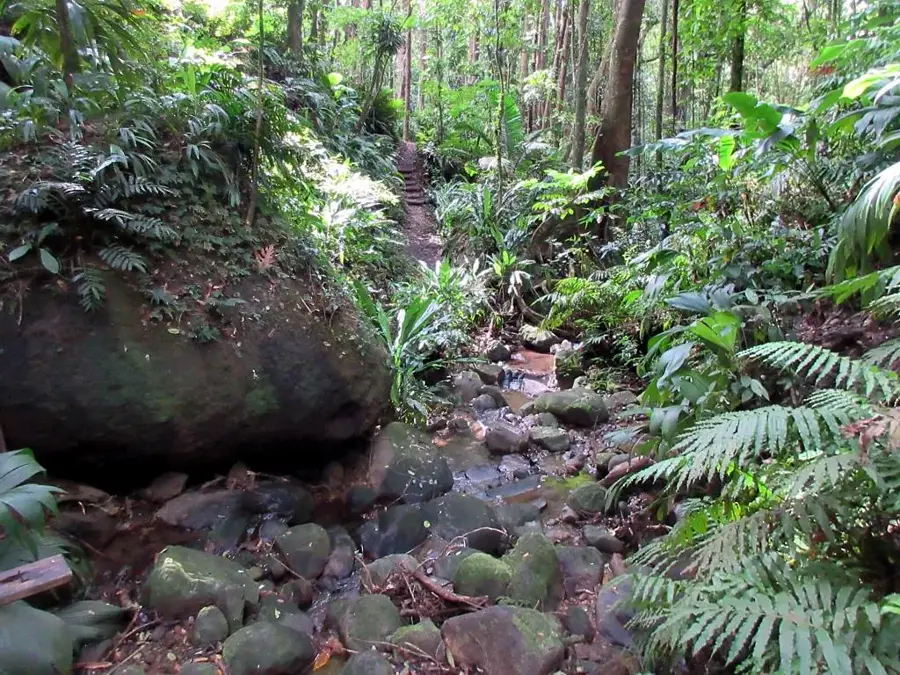
- The terrain is quite steep and rugged; wear comfortable walking shoes if you plan to explore on foot.
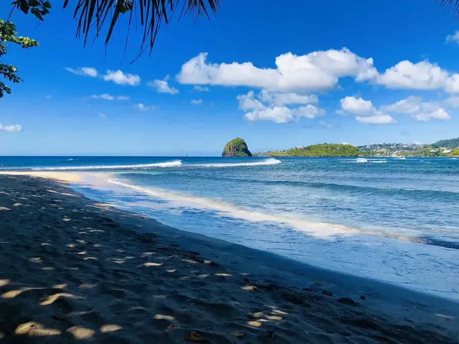
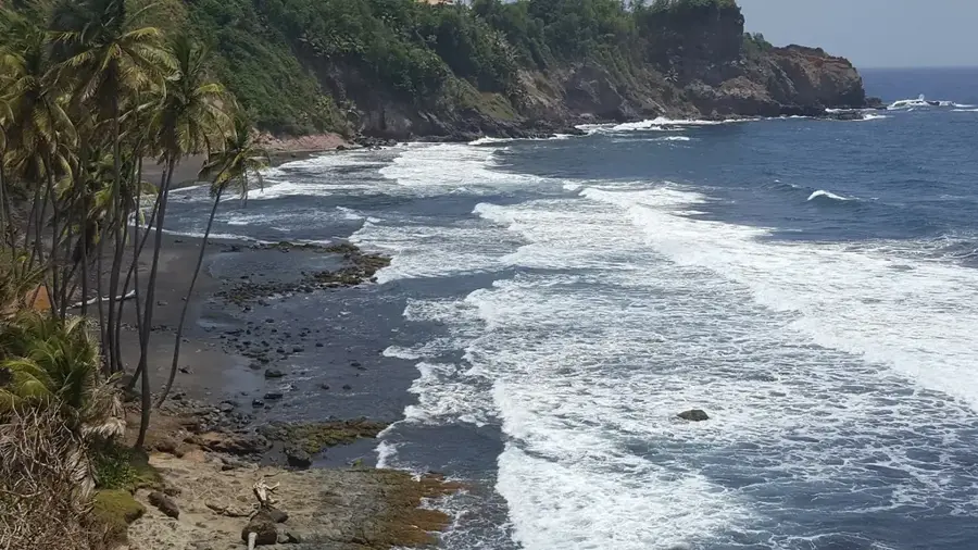
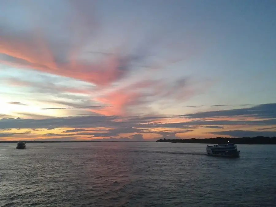
- It's an excellent viewpoint to see the contrast between the green hills and the rough Atlantic Ocean.
- Public transport is less frequent than on the western side; plan your return trip accordingly.
- Expect stronger winds and cooler breezes here due to the elevation and exposed eastern coast.
🍽 Food
A thick, hearty soup made from dasheen leaves, available at local home-style eateries.
A quick and tasty snack often sold at small roadside stalls.
A local herbal tea infusion made from lemongrass or other plants, typically served in the morning.
🛍 Shopping · 🧘 Quiet spots
Look out for small village bakeries selling traditional Caribbean hard dough bread.
Yams, dasheen, and sweet potatoes can be purchased directly from farmers in the area.
Hike along the unpaved paths leading towards the ocean for dramatic cliff-side views.
The area around the small local churches usually provides a peaceful spot to rest and take in the scenery.
Water temperature…
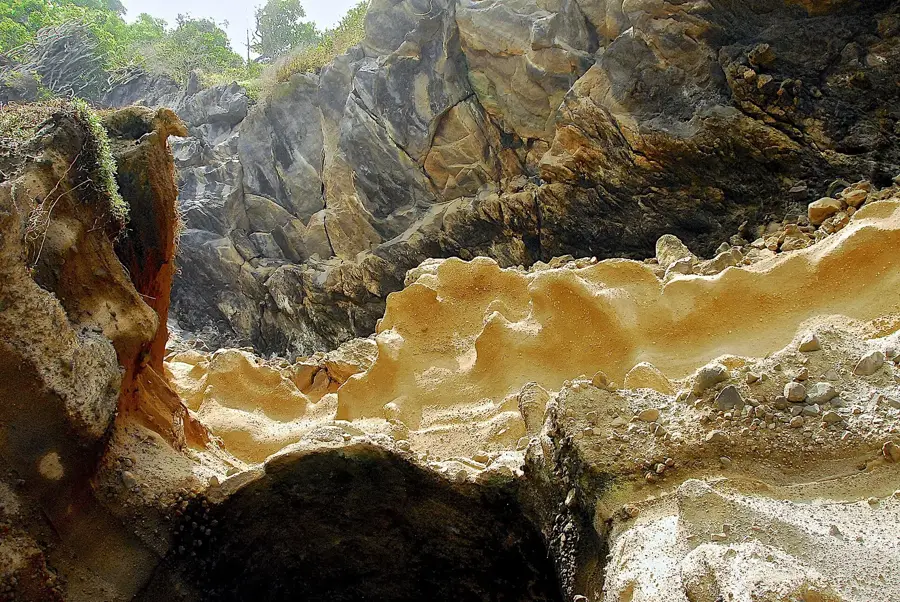
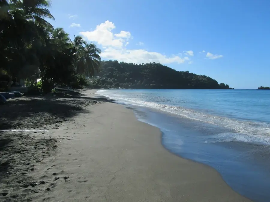
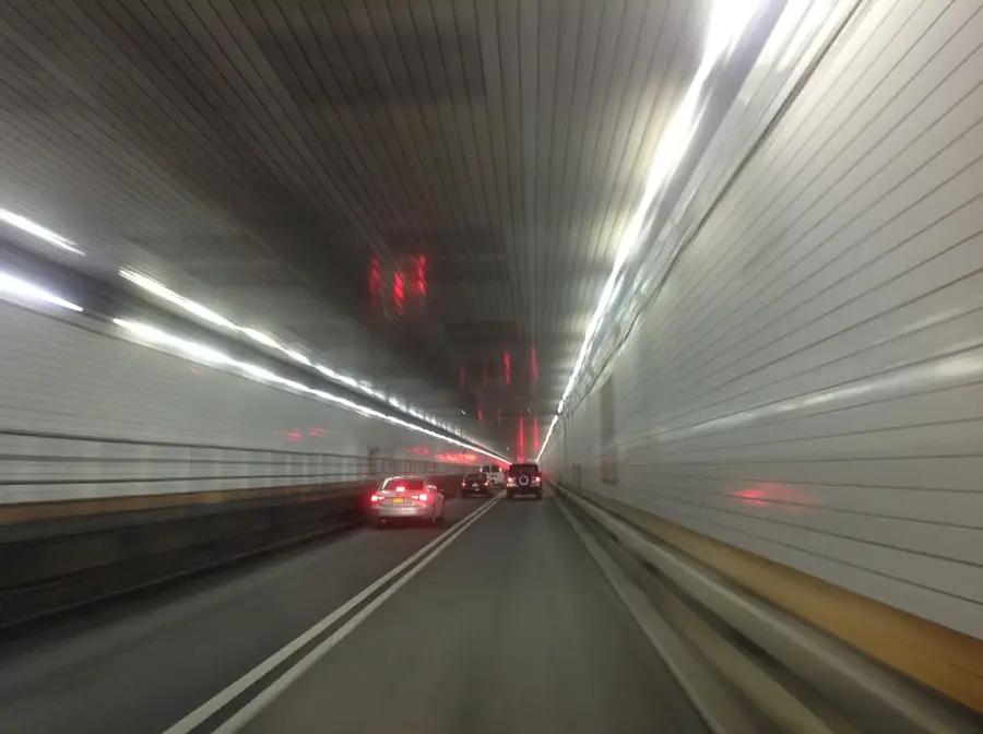
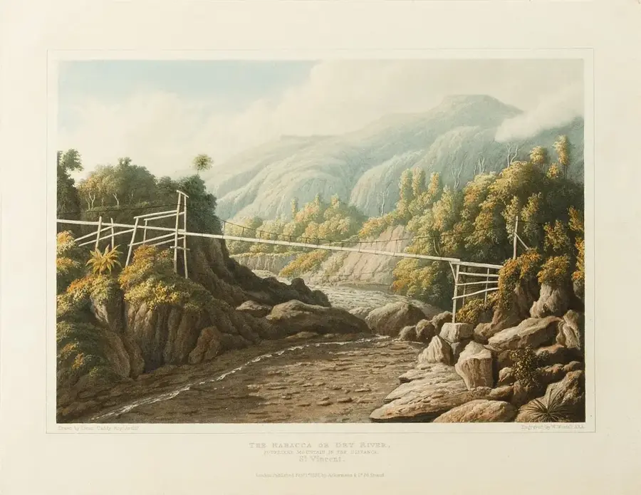
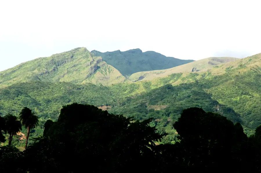
Byera Hill is a scenic community perched on the rugged windward coast of Saint Vincent, offering a dramatic look at the island's Atlantic side. Located in the Charlotte Parish, the settlement is defined by its elevated position and its historical connection to the island's agricultural past. A key landmark nearby is the Black Point Tunnel, an 1815 engineering feat carved through volcanic rock by slave labor to expedite the transport of sugar from the northern estates to the southern shipping points. The coastline at Byera Hill is famously wild, characterized by crashing waves against black basalt cliffs and a constant ocean breeze. This traditional Caribbean village remains largely agricultural, with banana farming and small-scale livestock rearing supporting the local families. For those exploring Saint Vincent, Byera Hill provides a refreshing alternative to the tourist-heavy leeward side, showcasing a landscape shaped by volcanic forces and colonial history. The area is a vital link in the coastal highway system, offering travelers remarkable vistas and a deep sense of the island's resilient spirit.
- Location: St. Vincent & Grenadines
- Top sights: Byera River · Grand Sable River · Byera Village
- Nearby: Calliaqua (10 km)
- Population: ~1.365 (2016)
Best time to visit & climate
The most pleasant time to visit is Jan–Mar.
| Jan | Feb | Mar | Apr | May | Jun | Jul | Aug | Sep | Oct | Nov | Dec | |
|---|---|---|---|---|---|---|---|---|---|---|---|---|
| Avg °C | 27 | 26 | 26 | 27 | 28 | 28 | 28 | 28 | 29 | 28 | 28 | 27 |
| Rain mm | 59 | 38 | 39 | 71 | 74 | 114 | 122 | 144 | 144 | 159 | 139 | 74 |
Geography
Facts
- Byera Hill offers expansive views across the rugged Atlantic coastline.
- The settlement is positioned along the main Windward Highway to Georgetown.
- The area was historically a significant center for the Garifuna culture.
- The Byera Tunnel, an important engineering feat, is located nearby.
- The soil is enriched by volcanic ash deposits from Mount La Soufrière.
- Persistent sea breezes define the local vegetation and microclimate.
Explore nearby
Notable places around
Route planner — Car & Motorhome
Where do you start? We build the route here, with stops and country notes along the way.
© OpenStreetMap contributors · OpenRouteService
Sights in the town Byera Hill (3)
Frequently asked questions
What does Byera Hill offer?
Is Byera Hill family-friendly?
How do I get to Byera Hill?
Are there sights in the area?
When is the best time to travel?
Byera Hill: where is it located?
Byera Hill: what is there to see?
Byera Hill: when is the best time to visit?
Byera Hill: why is it worth visiting?
Nearby cities

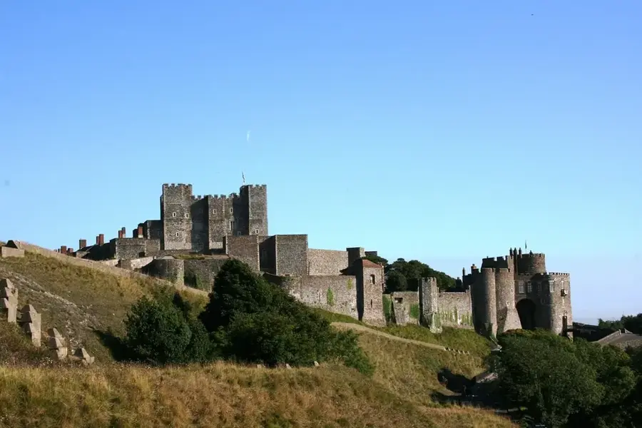

History & landmarks

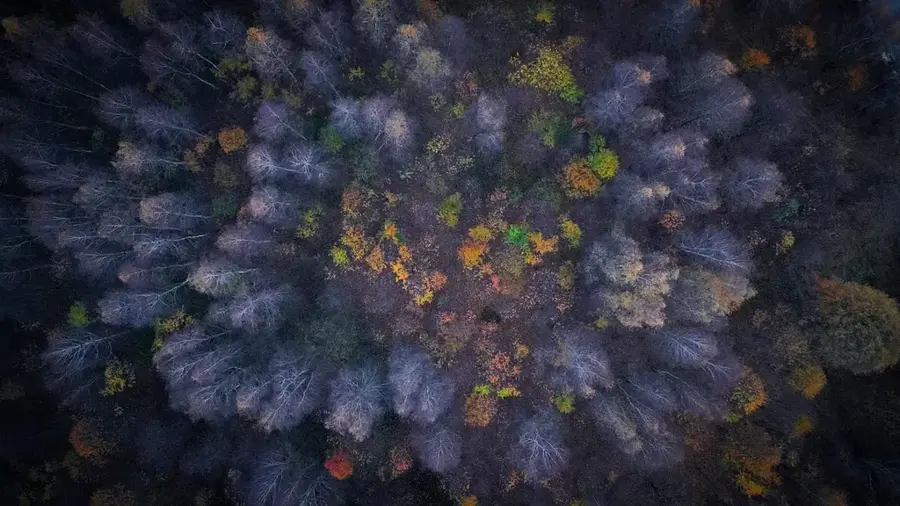
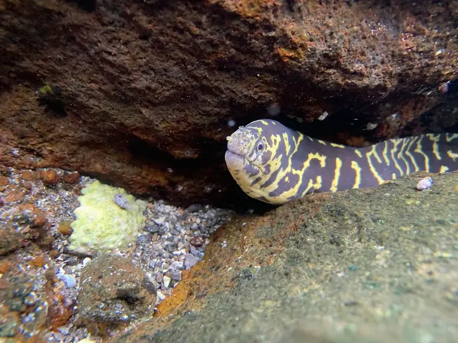
Nature

More places