Plizio Visual Lab
Black Point Tunnel
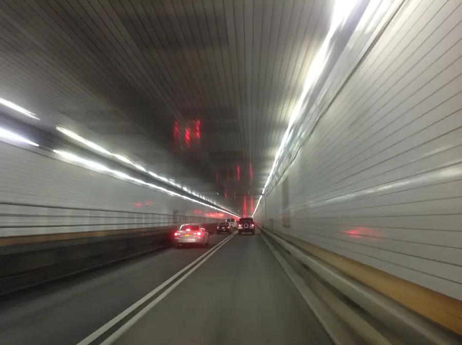
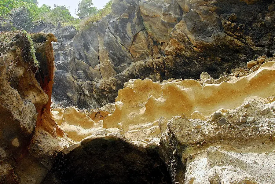
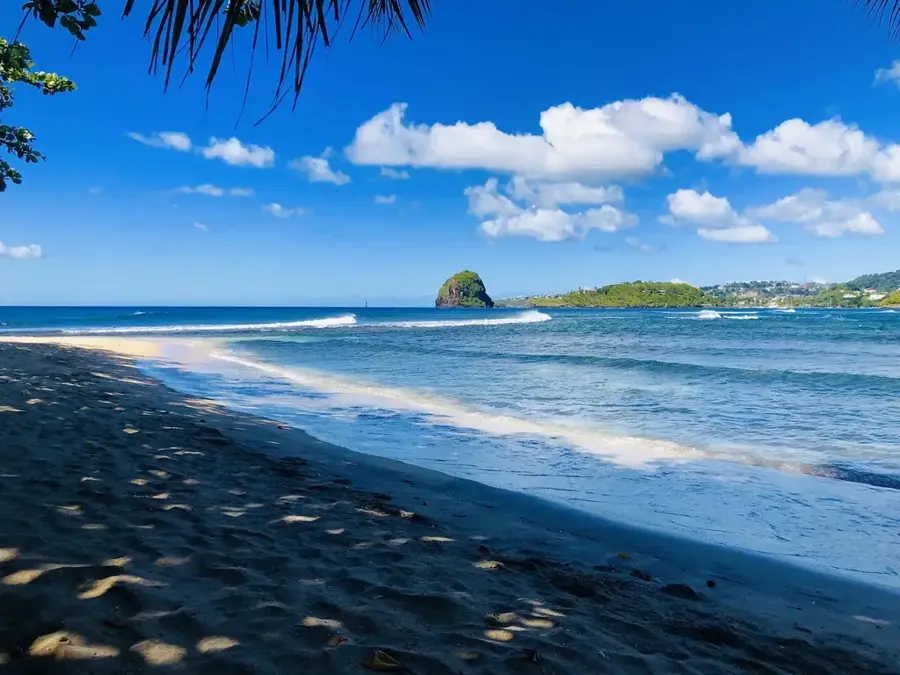
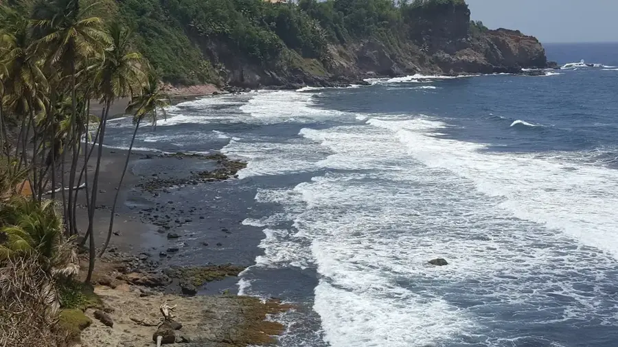
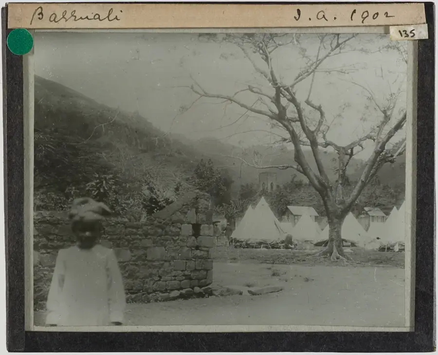
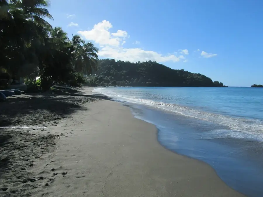
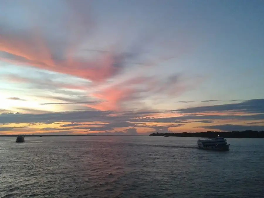
The Black Point Tunnel is a significant historical site located on the windward coast of Saint Vincent. Completed in 1815, this 300-foot-long tunnel was a massive engineering undertaking of the colonial era, commissioned to bypass the difficult terrain for sugar transport. It was painstakingly carved through solid volcanic rock, specifically Jasper Rock, by enslaved laborers from the Grand Sable Estate. This infrastructure allowed for the efficient movement of sugar to the coastal shipping points. Currently, the tunnel is the centerpiece of a heritage park, where visitors can walk through the passage and observe the manual drill marks left on the interior walls. The site serves as a somber reminder of the island's plantation history, set against a backdrop of dramatic cliffs and the churning waters of the Atlantic Ocean.
- Location: St. Vincent & Grenadines
- Top sights: Byera Hill · Byera Village · Byera River
- Nearby: Biabou (4 km)
Best time to visit & climate
The most pleasant time to visit is Jan–Mar.
| Jan | Feb | Mar | Apr | May | Jun | Jul | Aug | Sep | Oct | Nov | Dec | |
|---|---|---|---|---|---|---|---|---|---|---|---|---|
| Avg °C | 27 | 26 | 26 | 27 | 28 | 28 | 28 | 28 | 29 | 28 | 28 | 27 |
| Rain mm | 59 | 38 | 39 | 71 | 74 | 114 | 122 | 144 | 144 | 159 | 139 | 74 |
📋 Practical info
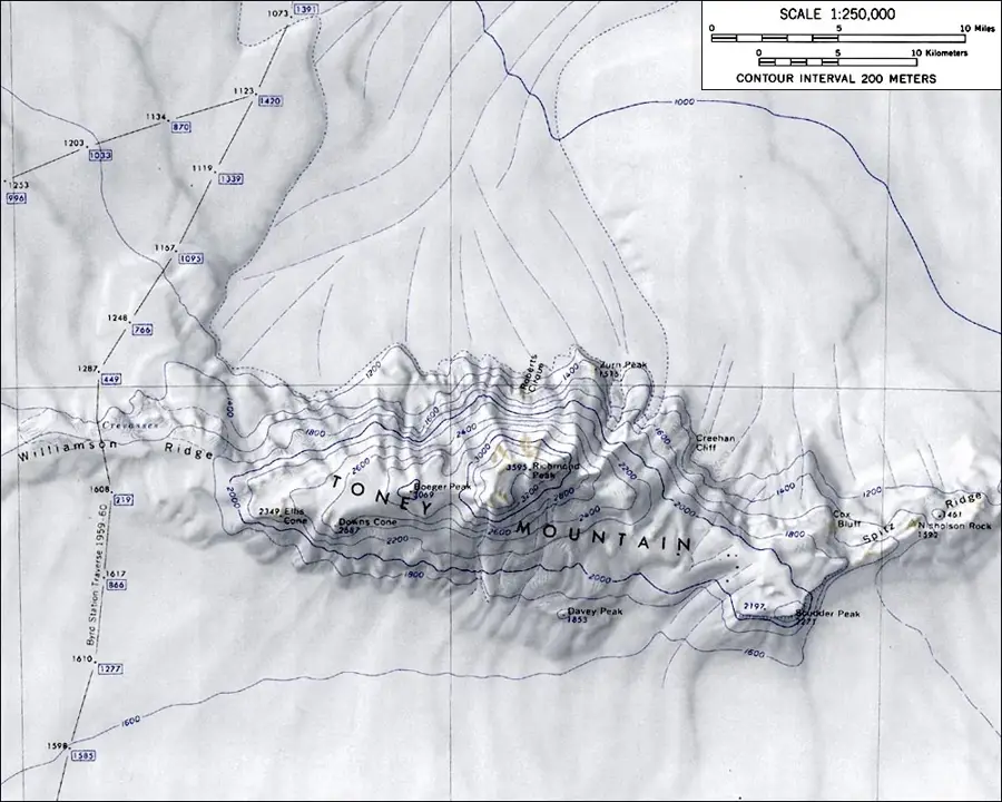
Geography
Facts
- Construction was commissioned by Colonel Thomas Browne
- Completed after approximately two years of manual labor
- The tunnel is about 300 feet (91 metres) long
- Considered one of the island's most significant slave-built structures
- Enabled sugar exports during rough sea conditions
- Located within the current Black Point Heritage Park
Explore nearby
Notable places around
Route planner — Car & Motorhome
Where do you start? We build the route here, with stops and country notes along the way.
© OpenStreetMap contributors · OpenRouteService
Sights in the town Black Point Tunnel (3)
Sights nearby
Frequently asked questions
What is the Black Point Tunnel?
Who built it?
Is the tunnel walkable?
Do I need a flashlight?
Is the place well signposted?
Black Point Tunnel: where is it located?
Black Point Tunnel: what is there to see?
Black Point Tunnel: when is the best time to visit?
Black Point Tunnel: why is it worth visiting?
Nearby cities


History & landmarks

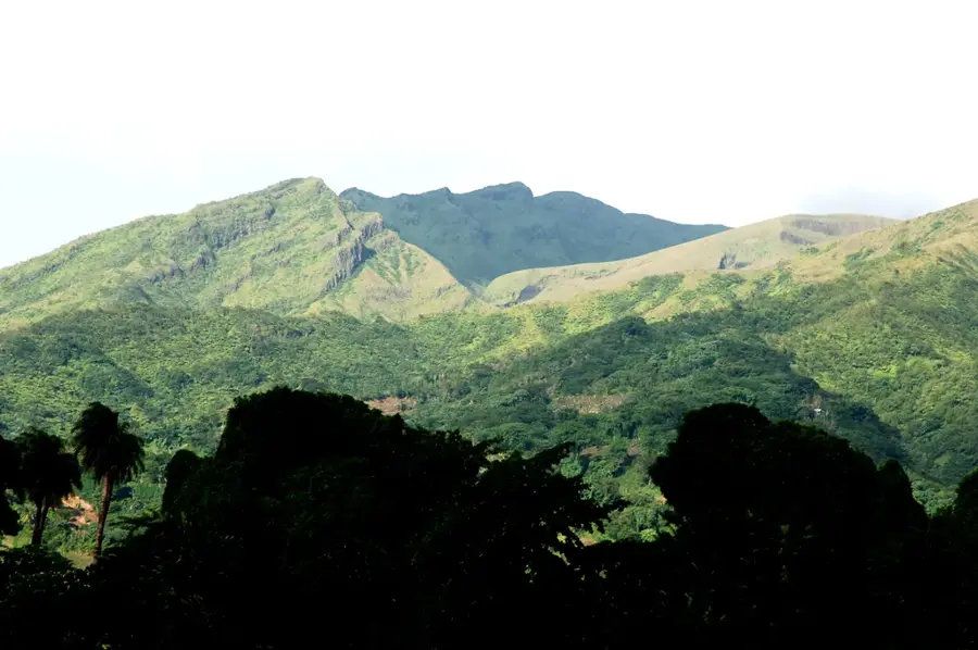
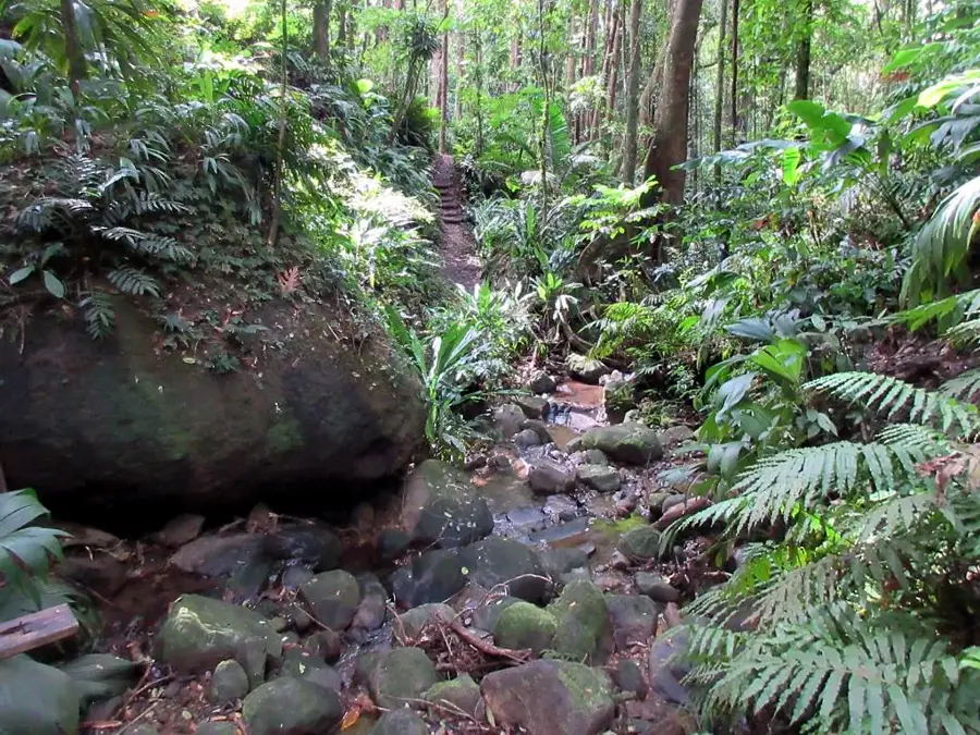
Nature

More places