Plizio Visual Lab
Morne Garu

Weather…
Water temperature…
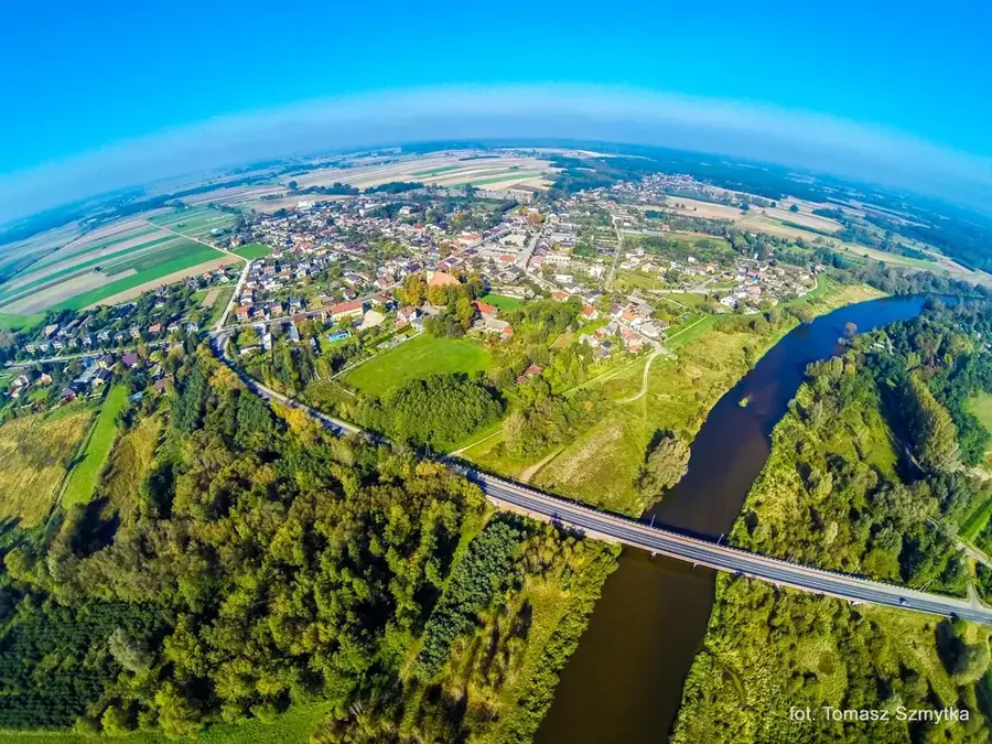
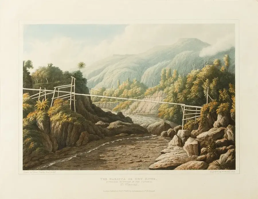
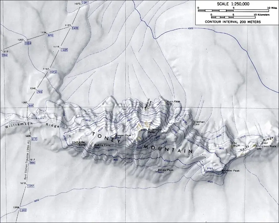
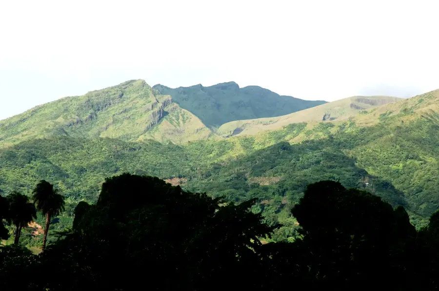
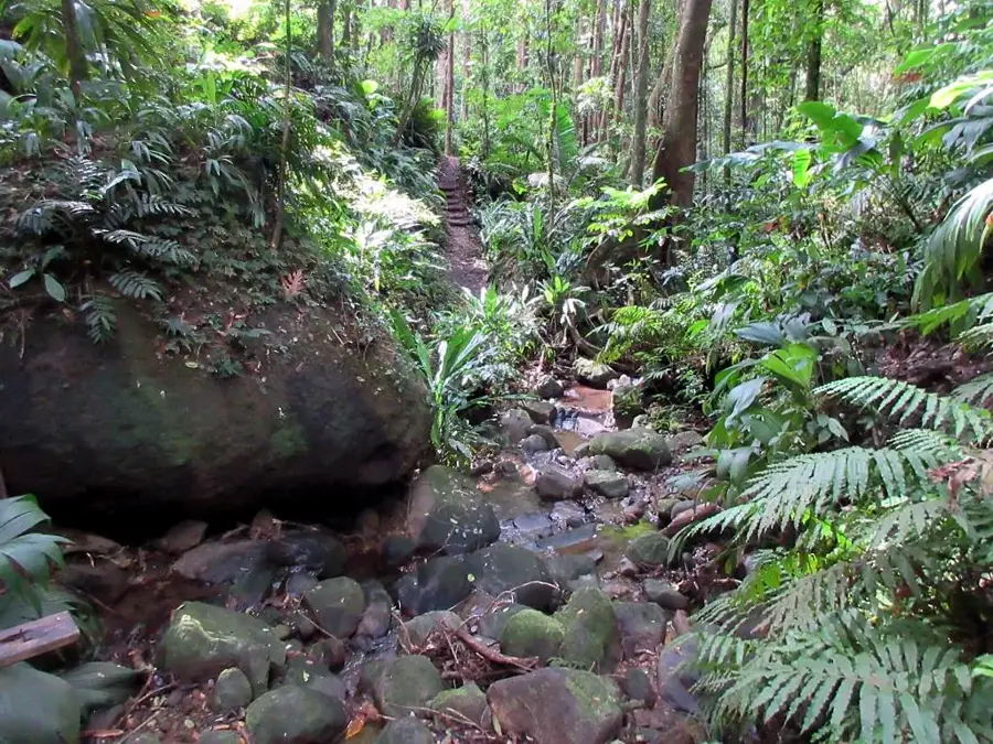
The Morne Garu Mountains are a significant relief feature in the north of Saint Vincent, extending south of the active volcano La Soufrière. With its highest peak, Richmond Peak (1,077 m), it forms a formidable barrier of rugged ridges and deep valleys. Geologically, Morne Garu is older than La Soufrière and consists of complex layers of volcanic material that have eroded over millions of years. The region is covered in dense tropical rainforest, which represents one of the most important protection zones for the island's endemic flora and fauna. Due to high rainfall in these mountains, numerous rivers originate here, including the Colonarie River, which are crucial for the island's water and energy supply. The terrain is extremely rugged and largely uninhabited, which has contributed to the preservation of its original nature. Morne Garu plays an essential role in the local climate, functioning as a weather divide and influencing the distribution of precipitation on the island. The mountains offer a valuable open-air laboratory for scientific research in volcanology and tropical ecology.
- Location: St. Vincent & Grenadines
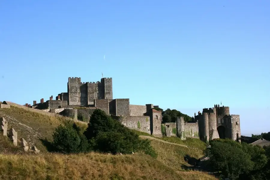
- Top sights: Saint Vincent and the Grenadines · Saint Vincent (Saint Vincent and the Grenadines) · Capture of Saint Vincent
- Nearby: Biabou (5 km)
Best time to visit & climate
The most pleasant time to visit is Jan–Mar.
| Jan | Feb | Mar | Apr | May | Jun | Jul | Aug | Sep | Oct | Nov | Dec | |
|---|---|---|---|---|---|---|---|---|---|---|---|---|
| Avg °C | 27 | 26 | 26 | 27 | 28 | 28 | 28 | 28 | 29 | 28 | 28 | 27 |
| Rain mm | 59 | 38 | 39 | 71 | 74 | 114 | 122 | 144 | 144 | 159 | 139 | 74 |
📋 Practical info
Geography
Facts
- Located between the La Soufrière volcano and Mount St. Andrew.
- Richmond Peak is the highest point of the range at 1,077 meters.
- Composed of volcanic formations older than La Soufrière.
- Primary watershed for the Colonarie and Richmond rivers.
- Considered one of the most inaccessible places on the island of Saint Vincent.
- Provides critical habitat for the endangered Saint Vincent Parrot.
Explore nearby
Notable places around
Route planner — Car & Motorhome
Where do you start? We build the route here, with stops and country notes along the way.
© OpenStreetMap contributors · OpenRouteService
Sights in the town Morne Garu (3)
Sights nearby
Frequently asked questions
What is the best season for Morne Garu?
How long does an average hike take?
Are there public restrooms at the trailhead?
Is the hike suitable for children?
Can the area be explored without a guide?
Morne Garu: where is it located?
Morne Garu: what is there to see?
Morne Garu: when is the best time to visit?
Morne Garu: why is it worth visiting?
Nearby cities


History & landmarks
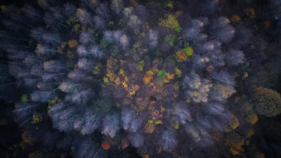
Nature

More places