Plizio Visual Lab
Trinity Falls

Weather…
Water temperature…
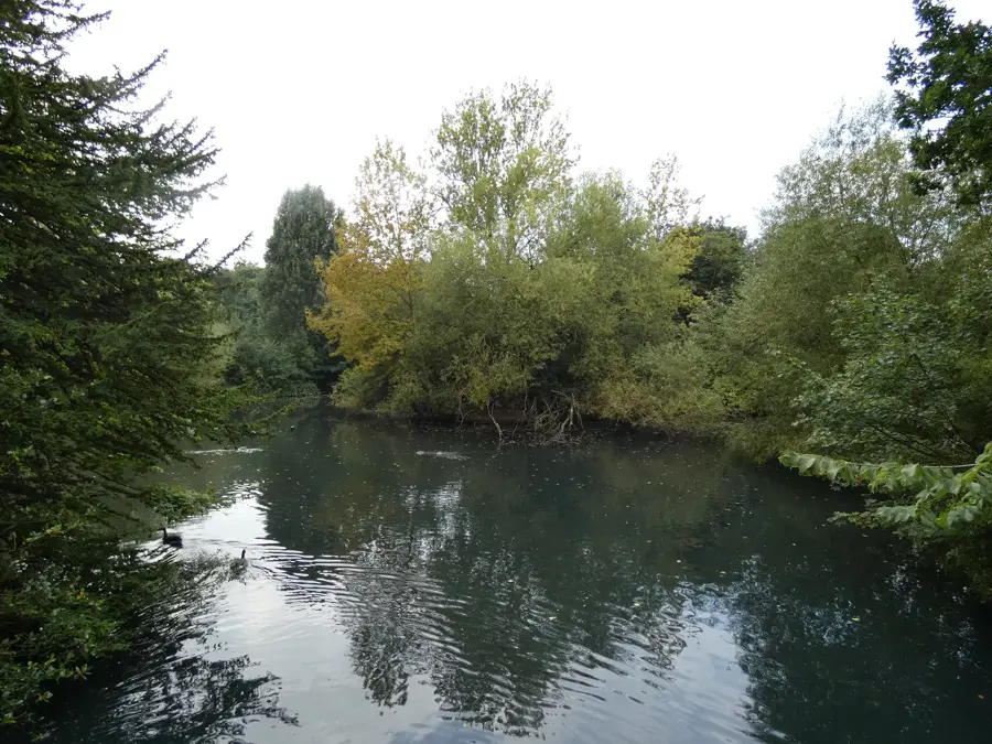
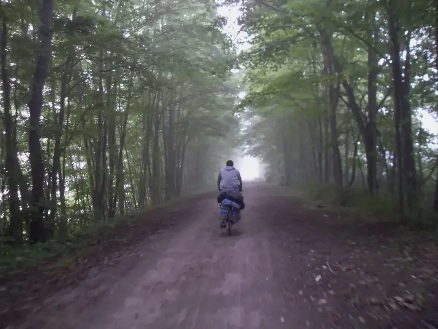
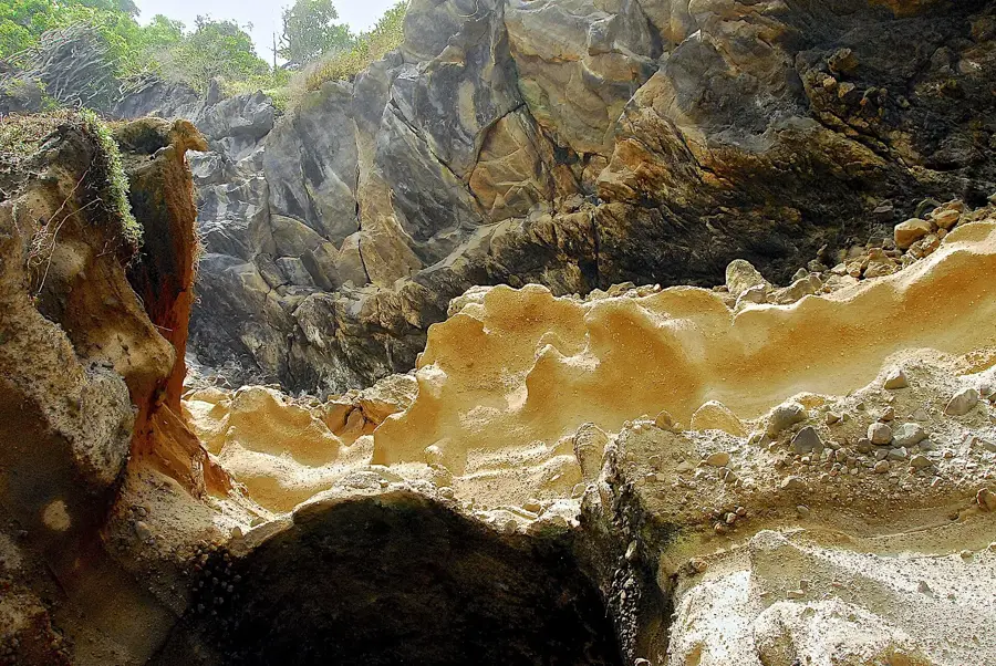
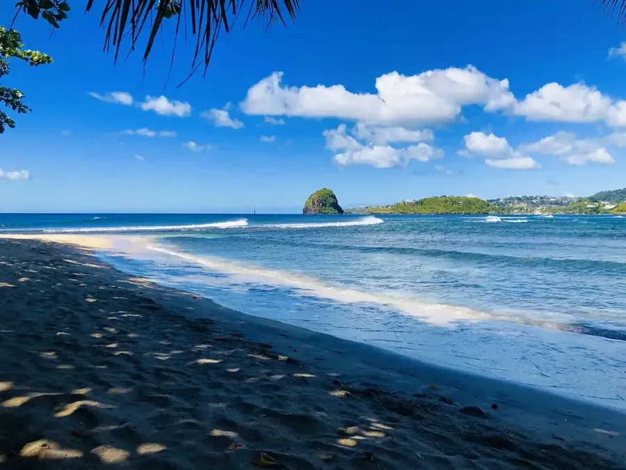
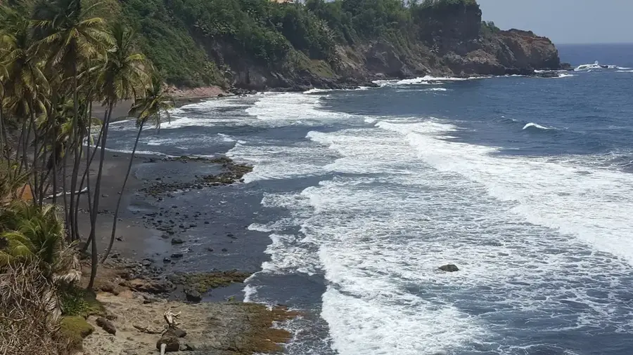
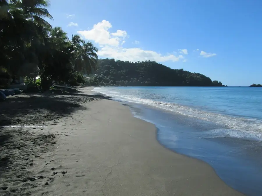
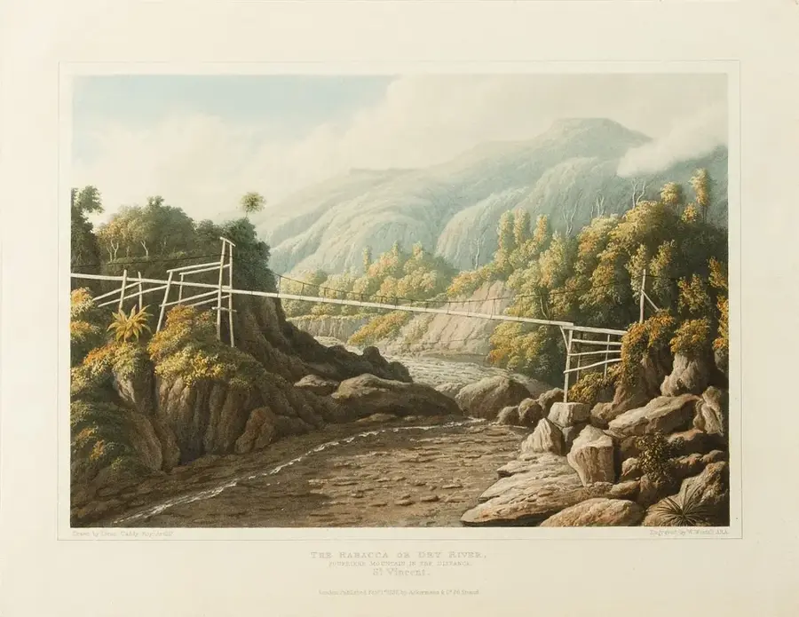
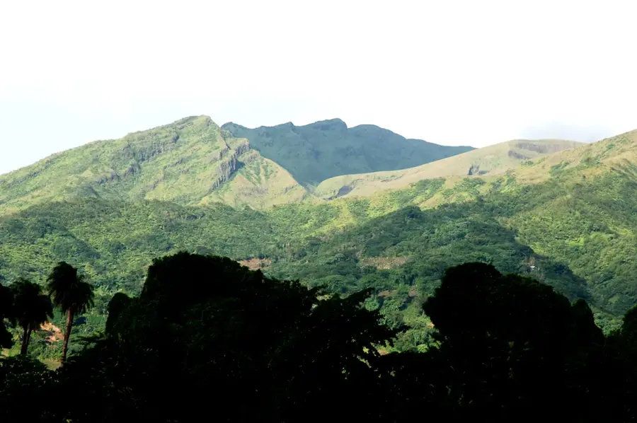
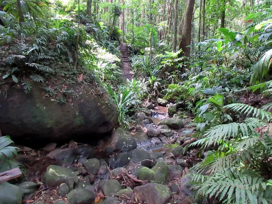
Trinity Falls is a dramatic natural feature located in the rugged interior of northern Saint Vincent. As its name implies, the water cascades in three distinct tiers over a volcanic rock face into a deep, emerald-colored basin. Reaching the falls requires a demanding hike through dense primary rainforest, making it a prime destination for adventurous travelers. Geologically, the falls are part of the Wallilabou River system, which has carved deep gorges into the island's volcanic bedrock. The surrounding environment is rich in biodiversity, with rare bromeliads and ferns flourishing in the constant mist of the falls. Due to its isolation, Trinity Falls has maintained a wild character, offering a level of tranquility not often found at the island's more accessible sites. Preserving this ecosystem is essential for the protection of endemic wildlife, including the St. Vincent Parrot, which nests in the surrounding forest canopy.
- Location: St. Vincent & Grenadines
- Top sights: North Leeward · La Soufrière (Saint Vincent)
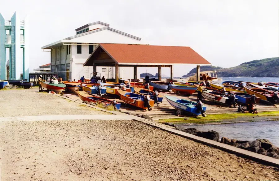
- Nearby: Chateaubelair (6 km)
Best time to visit & climate
The most pleasant time to visit is Jan–Mar.
| Jan | Feb | Mar | Apr | May | Jun | Jul | Aug | Sep | Oct | Nov | Dec | |
|---|---|---|---|---|---|---|---|---|---|---|---|---|
| Avg °C | 27 | 26 | 26 | 27 | 28 | 28 | 28 | 28 | 29 | 28 | 28 | 27 |
| Rain mm | 59 | 38 | 39 | 71 | 74 | 114 | 122 | 144 | 144 | 159 | 139 | 74 |
📋 Practical info
Geography
Facts
- Features a spectacular three-tiered cascading drop.
- Located within the dense rainforest of the Wallilabou River valley.
- The hike to reach the falls takes approximately 45 to 60 minutes.
- The area is a critical habitat for the endangered St. Vincent Parrot.
- The plunge pool is often dangerous for swimming due to strong currents.
- Formed by ancient volcanic ash and lava deposits.
Explore nearby
Notable places around
Route planner — Car & Motorhome
Where do you start? We build the route here, with stops and country notes along the way.
© OpenStreetMap contributors · OpenRouteService
Sights in the town Trinity Falls (2)
Sights nearby
Frequently asked questions
How demanding is the hike to Trinity Falls?
Is a guide strictly necessary?
Is the effort worth it?
What should I wear?
Are there restrooms there?
Trinity Falls: where is it located?
Trinity Falls: what is there to see?
Trinity Falls: when is the best time to visit?
Trinity Falls: why is it worth visiting?
Nearby cities


History & landmarks
Nature


More places