Plizio Visual Lab
Stanovoy Highlands
Weather…
Water temperature…
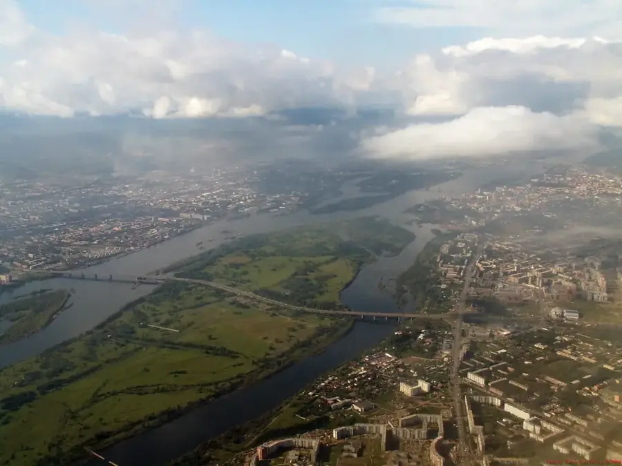
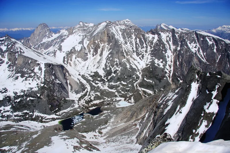
The Stanovoy Highlands in Eastern Siberia, positioned north of Lake Baikal, comprise a geologically dynamic and dramatically rugged mountain region. It is a vital component of the Baikal Rift Zone, where continuous crustal extension triggers frequent, severe earthquakes and gives rise to numerous steaming thermal springs. The landscape unfolds as a labyrinthine complex of sharp, serrated ridges, precipitously plunging gorges, and narrow, isolated valleys incised deep into the bedrock. Beneath a surface dominated by continuous permafrost and sparse alpine tundra, the highlands conceal immense, largely unexploited mineral wealth. This exceptionally harsh and forbidding environment gained prominence through the monumental engineering triumph of the Baikal-Amur Mainline (BAM) railway, which conquers the treacherous terrain via an impressive network of tunnels and bridges.
Best time to visit & climate
The most pleasant time to visit is Jun–Aug.
| Jan | Feb | Mar | Apr | May | Jun | Jul | Aug | Sep | Oct | Nov | Dec | |
|---|---|---|---|---|---|---|---|---|---|---|---|---|
| Avg °C | -27 | -24 | -16 | -7 | 2 | 12 | 15 | 12 | 4 | -7 | -19 | -26 |
| Rain mm | 10 | 9 | 17 | 45 | 96 | 116 | 149 | 139 | 89 | 38 | 19 | 11 |
📋 Practical info
Geography
Route planner — Car & Motorhome
Where do you start? We build the route here, with stops and country notes along the way.
© OpenStreetMap contributors · OpenRouteService
Sights nearby
Frequently asked questions
What characterizes the Stanovoy Highlands?
Is it developed for tourists?
When is the weather most stable?
Is a guide needed?
How cold does it get?
Stanovoy Highlands: where is it located?
Stanovoy Highlands: when is the best time to visit?
Stanovoy Highlands: why is it worth visiting?

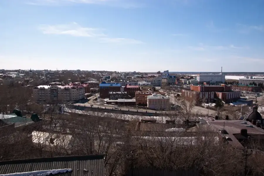
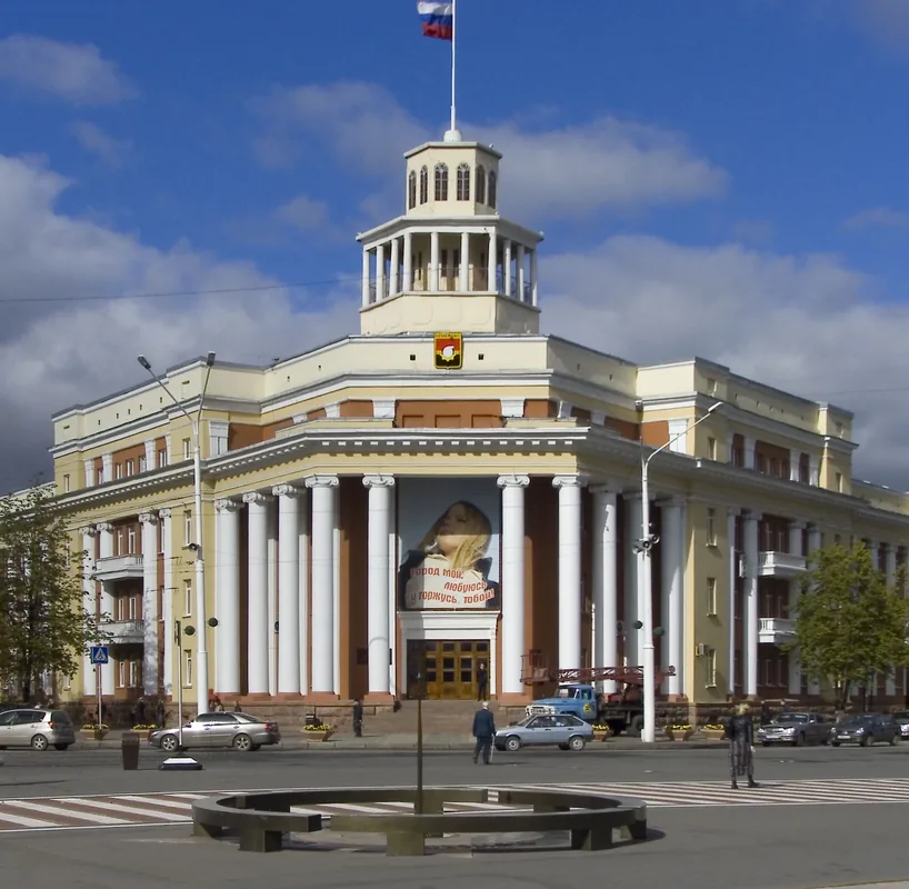
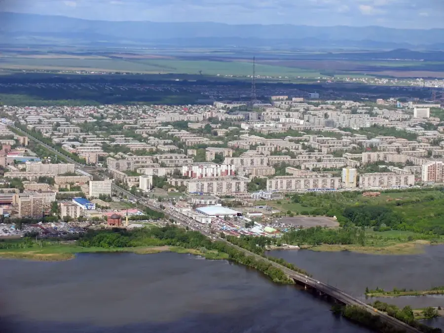
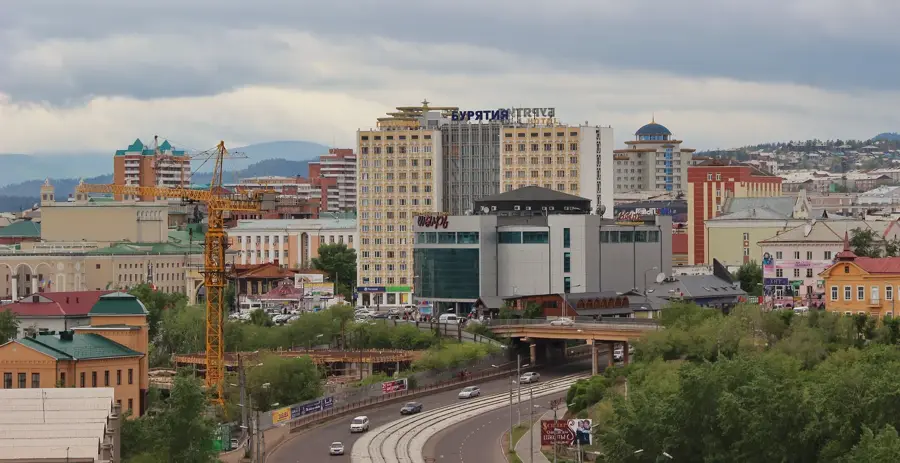
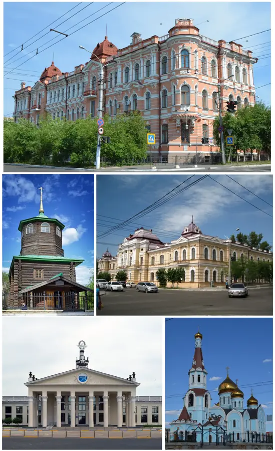
Nearby cities