Plizio Visual Lab
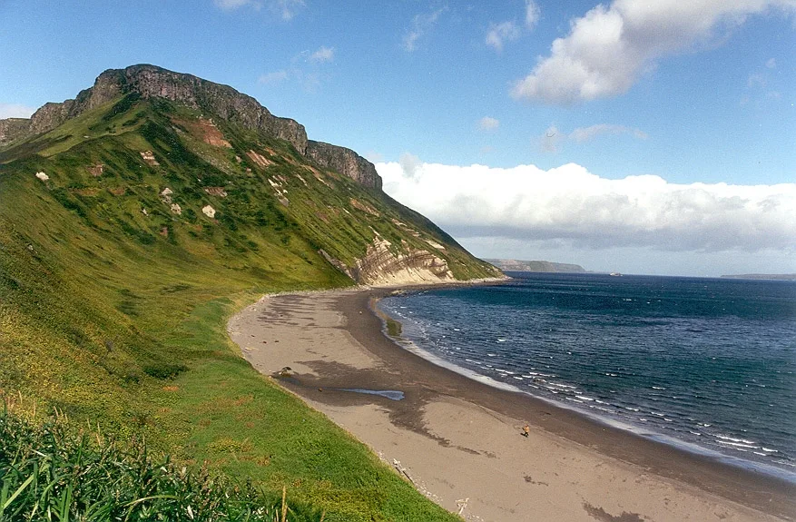
Kuril Islands
Weather…
Water temperature…
The Kuril Islands form a highly dramatic volcanic archipelago in the Far East, stretching as a rugged, scenic boundary over a thousand kilometers from the Kamchatka Peninsula all the way down to northern Japan. This incredibly geologically active chain acts as a natural barrier, separating the deep, frigid waters of the Sea of Okhotsk from the vast expanse of the Pacific Ocean. Shaped by powerful tectonic fault lines, the islands are home to countless active volcanoes, steaming fumaroles, and boiling hot springs, creating a stark contrast against the chilly ocean air. Because of the profoundly harsh climate, which is frequently dominated by dense fog, fierce winds, and violent storms, large portions of the archipelago remain completely uninhabited and untouched. The mixing of cold and warm ocean currents along the coastlines results in nutrient-rich waters, turning the islands into an absolute paradise for seabirds, sea otters, and massive schools of fish. The southernmost islands continue to be the subject of a long-standing, unresolved territorial dispute with Japan.
Best time to visit & climate
The most pleasant time to visit is Jul–Sep.
| Jan | Feb | Mar | Apr | May | Jun | Jul | Aug | Sep | Oct | Nov | Dec | |
|---|---|---|---|---|---|---|---|---|---|---|---|---|
| Avg °C | -2 | -3 | -1 | 1 | 3 | 5 | 9 | 12 | 12 | 8 | 4 | 0 |
| Rain mm | 41 | 60 | 100 | 68 | 88 | 72 | 91 | 126 | 120 | 127 | 115 | 85 |
📋 Practical info
Geography
Route planner — Car & Motorhome
Where do you start? We build the route here, with stops and country notes along the way.
© OpenStreetMap contributors · OpenRouteService
Sights nearby
Frequently asked questions
How to get to the Kuril Islands?
Are the islands safe for tourists?
What is special about the nature there?
Are there tourist centers there?
Is a visa required?
Kuril Islands: where is it located?
Kuril Islands: when is the best time to visit?
Kuril Islands: why is it worth visiting?

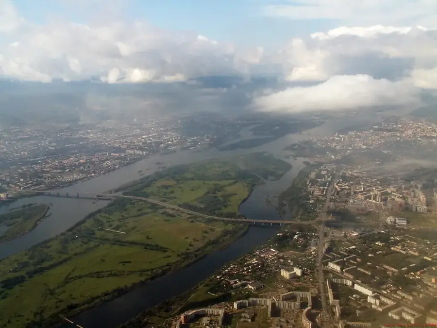
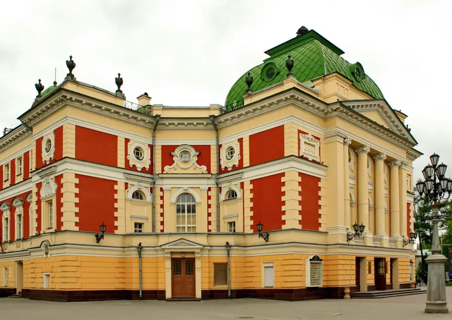
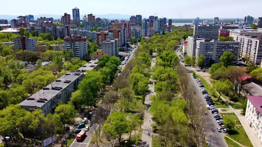
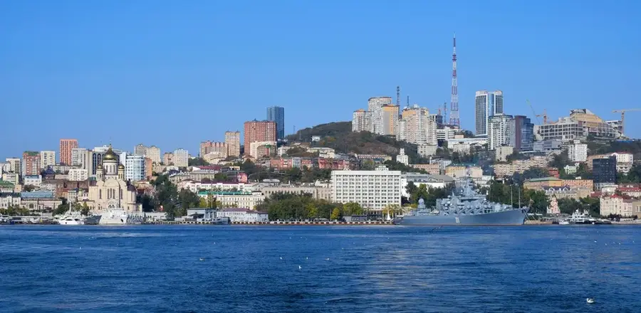
Nearby cities