Plizio Visual Lab
Otishi National Park
Weather…
Water temperature…
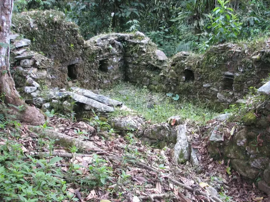
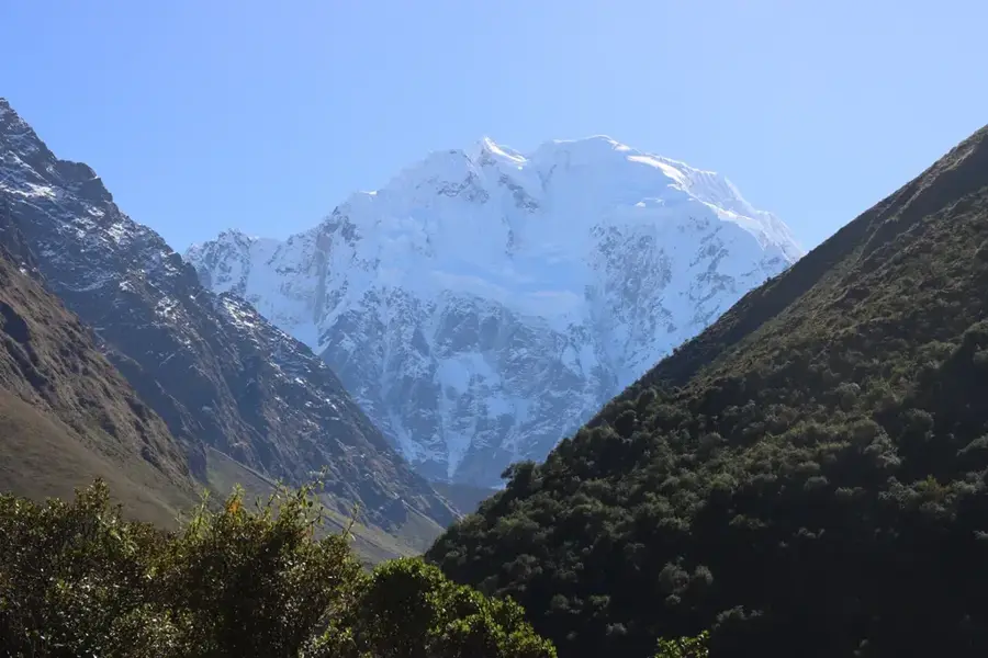
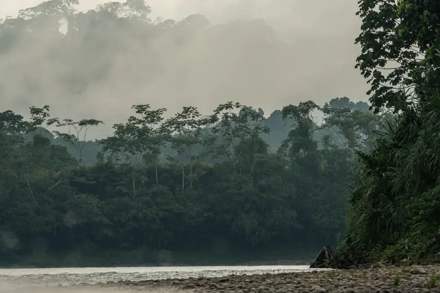
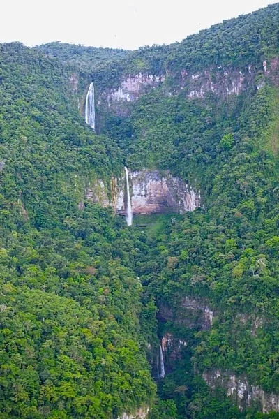
Otishi National Park is located in the high jungle of central Peru, spanning the Junín and Cusco regions within the heart of the Cordillera de Vilcabamba. This difficult-to-access protected area was established in 2003 to preserve unique ecosystems ranging from 750 to over 4,000 meters in elevation. One of the park's most spectacular features is the Pavirontsi Natural Bridge, a massive rock arch spanning the Cutivireni River, which ranks among the largest of its kind globally. The region holds deep cultural significance as the homeland of the Asháninka and Machiguenga peoples, whose way of life is intrinsically linked to forest conservation. Due to the rugged topography, marked by numerous waterfalls and deep canyons, the park remains largely undeveloped for tourism, making it an essential refuge for endangered species like the Andean cock-of-the-rock. Protecting Otishi also secures vital water resources for the surrounding valleys.
Best time to visit & climate
The most pleasant time to visit is May–Jul.
| Jan | Feb | Mar | Apr | May | Jun | Jul | Aug | Sep | Oct | Nov | Dec | |
|---|---|---|---|---|---|---|---|---|---|---|---|---|
| Avg °C | 22 | 22 | 22 | 22 | 22 | 22 | 23 | 24 | 24 | 24 | 23 | 22 |
| Rain mm | 100 | 112 | 92 | 32 | 17 | 9 | 11 | 11 | 23 | 44 | 56 | 104 |
📋 Practical info
Geography
Facts
- The park was officially established on January 14, 2003.
- The Pavirontsi Natural Bridge stands over 60 meters high.
- The park encompasses an area of 305,973 hectares.
- It is situated within the rugged Cordillera de Vilcabamba range.
- Elevations within the park range from 750 to over 4,000 meters.
- The park is adjacent to the Asháninka and Machiguenga Communal Reserves.
Explore nearby
Notable places around
Route planner — Car & Motorhome
Where do you start? We build the route here, with stops and country notes along the way.
© OpenStreetMap contributors · OpenRouteService
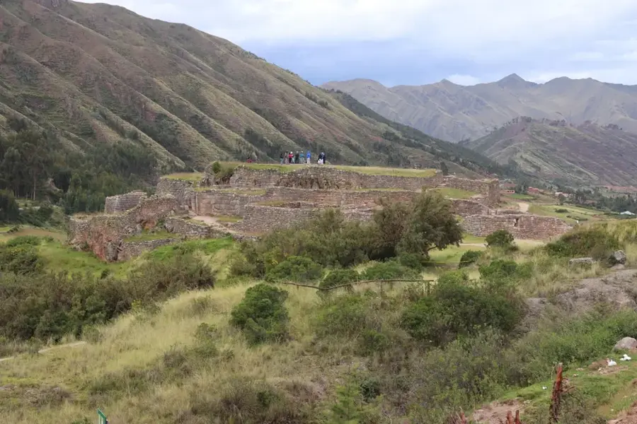
Sights nearby
Frequently asked questions
How difficult is hiking in the park?
When is the best time to visit the park?
Are there sanitary facilities or accommodations?
Is special equipment required?
How do you reach the national park?
Otishi National Park: where is it located?
Otishi National Park: when is the best time to visit?
Otishi National Park: why is it worth visiting?

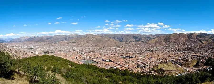
Nearby cities
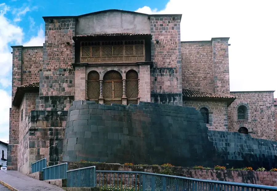
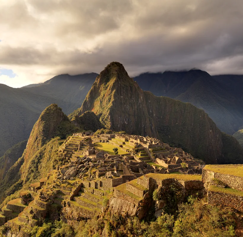
History & landmarks
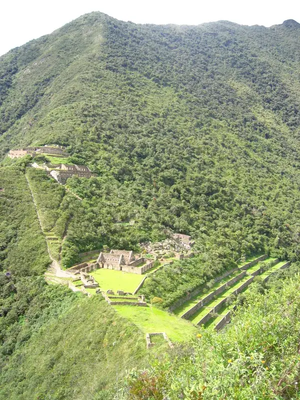
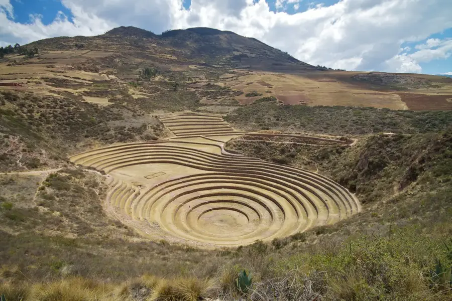

Nature
More places