Plizio Visual Lab
Pampa de Ayacucho
Weather…
Water temperature…
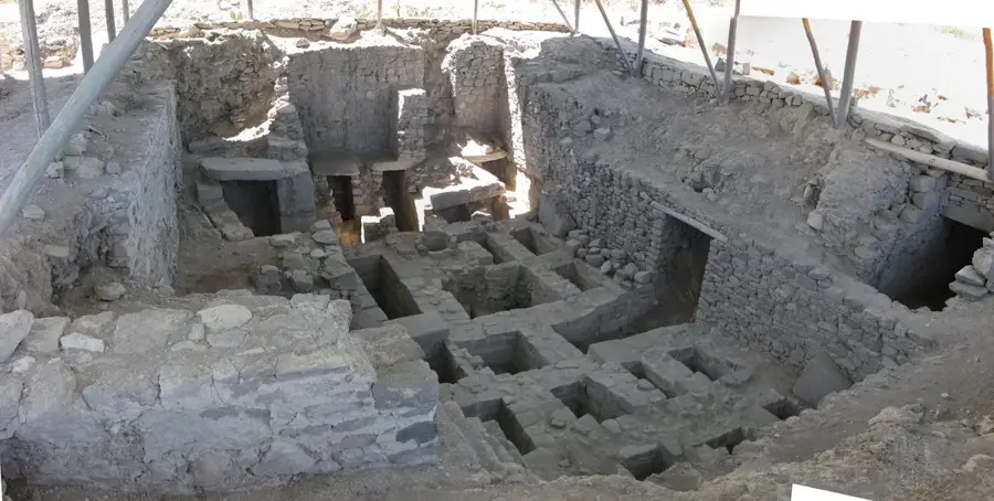
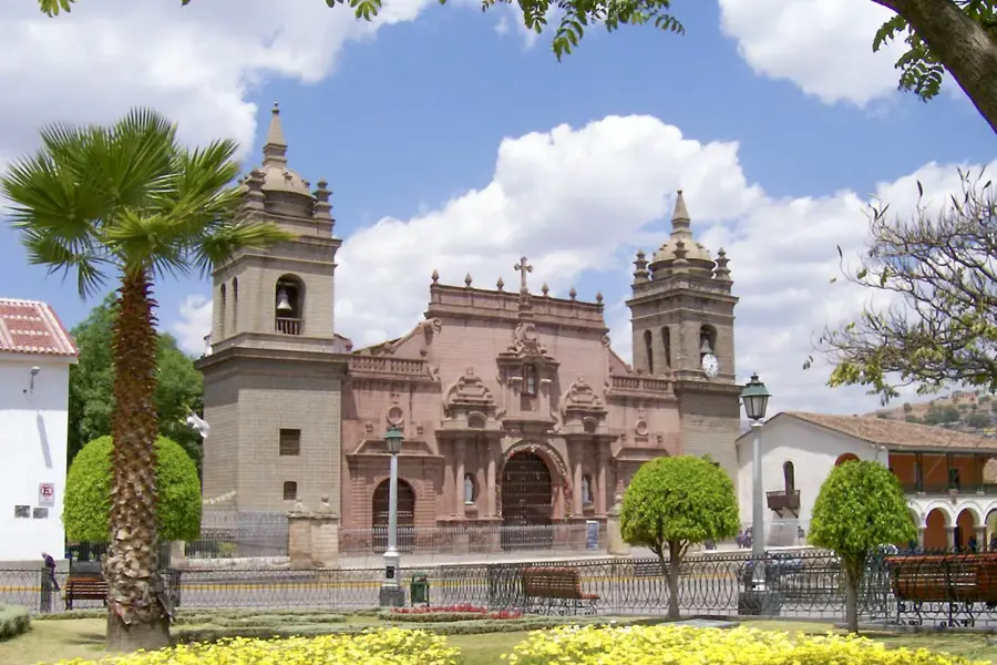
The Pampa de Ayacucho is a historical memorial site located near the village of Quinua in the Ayacucho region of Peru. On this vast high-altitude plateau, the decisive Battle of Ayacucho took place on December 9, 1824, marking the end of Peru's war for independence against the Spanish crown and securing freedom for South America. To commemorate this historic victory, a monumental 44-meter-high white marble obelisk was erected, which is visible from a great distance. The site sits at an elevation of 3,350 meters and was designated a National Sanctuary in 1980 to protect both its historical significance and the local flora and fauna. The Pampa features panoramic views of the surrounding Andean peaks and holds deep patriotic value for the Peruvian people. Each year, commemorative ceremonies are held here to honor the bravery of the united Latin American forces under General Sucre. Today, it remains one of Peru's most important national landmarks.
Best time to visit & climate
The most pleasant time to visit is Jun, Aug, Sep.
| Jan | Feb | Mar | Apr | May | Jun | Jul | Aug | Sep | Oct | Nov | Dec | |
|---|---|---|---|---|---|---|---|---|---|---|---|---|
| Avg °C | 14 | 14 | 14 | 14 | 13 | 13 | 13 | 14 | 14 | 15 | 15 | 14 |
| Rain mm | 113 | 122 | 99 | 30 | 15 | 6 | 12 | 12 | 23 | 45 | 58 | 115 |
📋 Practical info
Geography
Facts
- Battle date: December 9, 1824
- The obelisk is 44 meters tall
- Located at 3,350 meters altitude
- Designated National Sanctuary in 1980
- Adjacent to the village of Quinua
- Decisive victory for South American independence
Explore nearby
Notable places around
Route planner — Car & Motorhome
Where do you start? We build the route here, with stops and country notes along the way.
© OpenStreetMap contributors · OpenRouteService
Sights nearby
Frequently asked questions
Why is the place known?
What are the opening hours?
Is the place easily accessible?
How much time is needed?
Is it good for families with children?
Pampa de Ayacucho: where is it located?
Pampa de Ayacucho: when is the best time to visit?
Pampa de Ayacucho: why is it worth visiting?