Plizio Visual Lab
Choquequirao
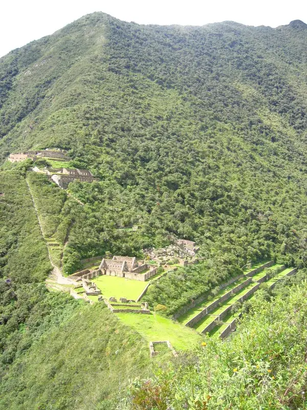
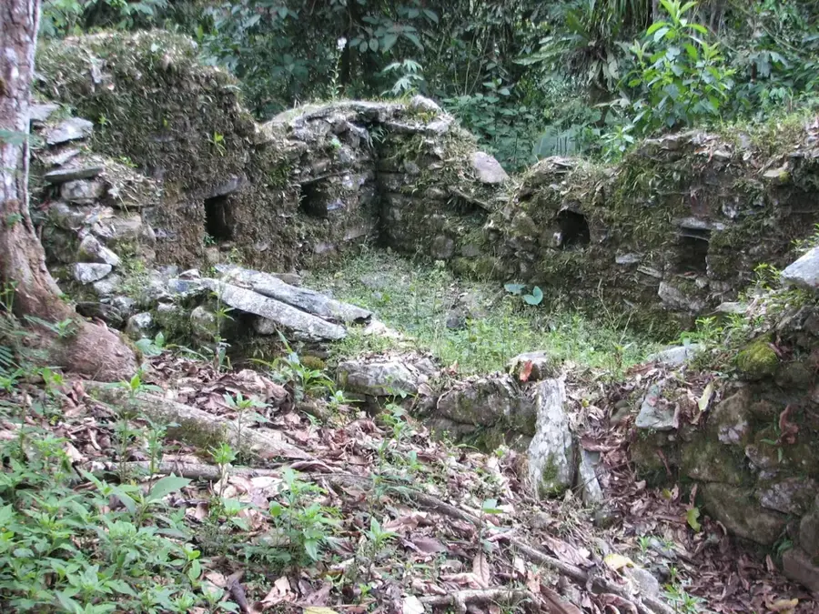
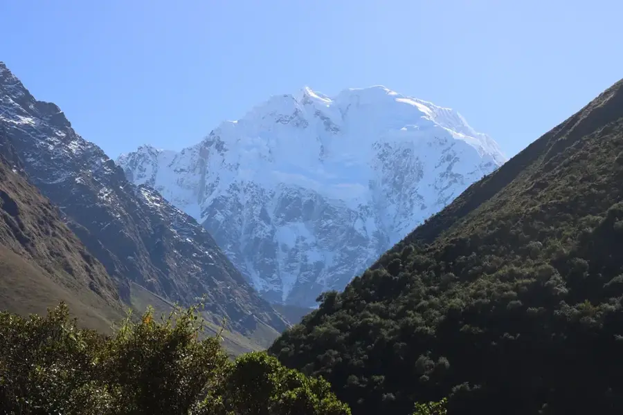
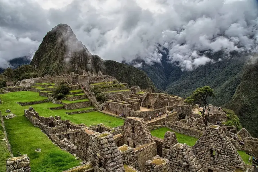
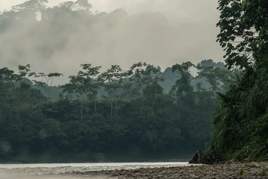
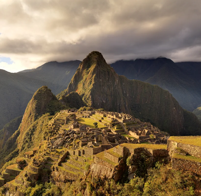
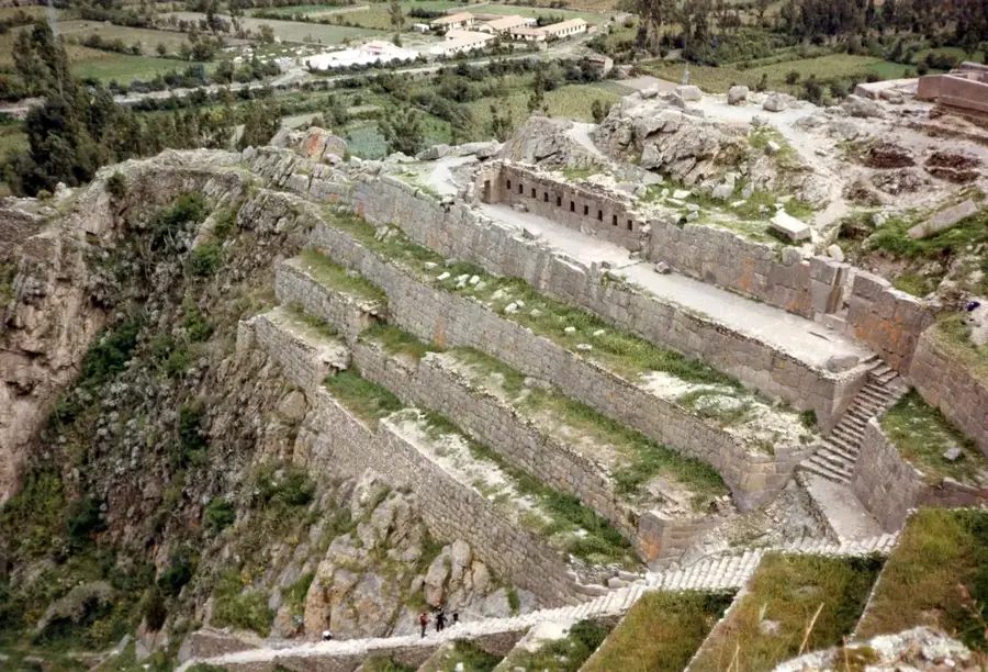
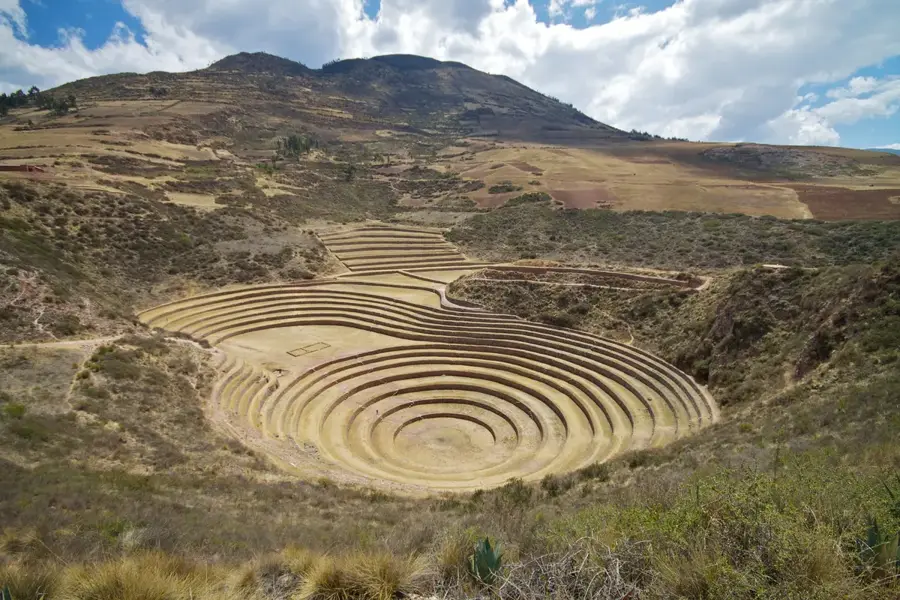
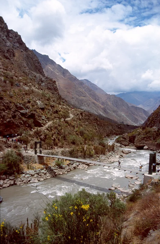
Choquequirao, often called the 'Sister City of Machu Picchu,' is one of Peru's most remote and awe-inspiring Inca citadels. Perched on a high ridge 3,000 meters above the Apurímac River, it is only accessible after a grueling two-day hike through steep canyons. Because of its isolation, it sees only a fraction of the visitors of Machu Picchu, offering a sense of true discovery. The site is famous for its massive terraces, grand plazas, and the unique 'Flame Terraces' decorated with white stone llamas. Choquequirao likely served as a strategic outpost and a royal estate, and it was one of the last strongholds of the Inca resistance after the fall of Cusco. Much of the city remains hidden beneath the dense cloud forest, waiting to be revealed.
- Location: Peru
- Top sights: Piquiwasi · Section XI - House of the waterfall · Paqchayoc
- Nearby: Urubamba (84 km)
Best time to visit & climate
The most pleasant time to visit is Jun, Aug, Sep.
| Jan | Feb | Mar | Apr | May | Jun | Jul | Aug | Sep | Oct | Nov | Dec | |
|---|---|---|---|---|---|---|---|---|---|---|---|---|
| Avg °C | 12 | 12 | 12 | 12 | 11 | 11 | 11 | 12 | 13 | 13 | 13 | 12 |
| Rain mm | 139 | 137 | 109 | 38 | 16 | 5 | 13 | 14 | 28 | 53 | 72 | 133 |
📋 Practical info
Geography
Facts
- The name 'Choquequirao' means 'Cradle of Gold' in the Quechua language.
- Located in the Vilcabamba range, overlooking the deep Apurímac River canyon.
- Only about 30% to 40% of the site has been fully excavated and cleared of jungle.
- Famous for the 'Llamas del Sol', 24 white stone llama shapes embedded in the terraces.
- Built during the reign of Topa Inca Yupanqui in the late 15th century.
- The trek to the ruins involves descending and then ascending over 1,500 meters.
- A key refuge for the Neo-Inca state of Vilcabamba during the Spanish conquest.
- The site features a massive main plaza and an impressive upper religious sector.
Explore nearby
Notable places around
Route planner — Car & Motorhome
Where do you start? We build the route here, with stops and country notes along the way.
© OpenStreetMap contributors · OpenRouteService
Sights in the town Choquequirao (9)
Sights nearby
Frequently asked questions
How difficult is the hike to Choquequirao?
What is the goal of the trek?
Is there accommodation there?
When should you hike?
Is a guide mandatory?
Choquequirao: where is it located?
Choquequirao: what is there to see?
Choquequirao: when is the best time to visit?
Choquequirao: why is it worth visiting?

Nearby cities
History & landmarks

Nature
More places