Plizio Visual Lab
Vilcabamba
Weather…
Water temperature…
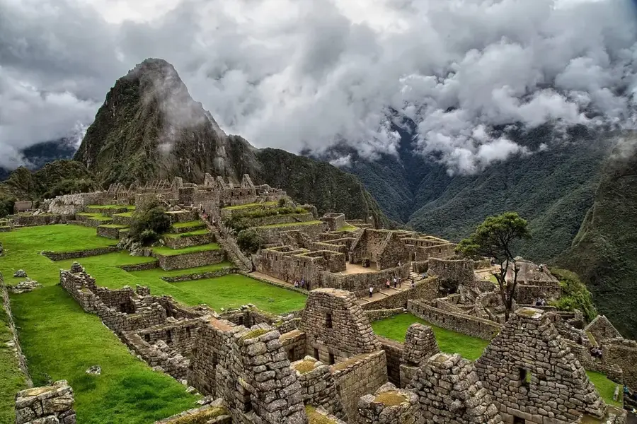
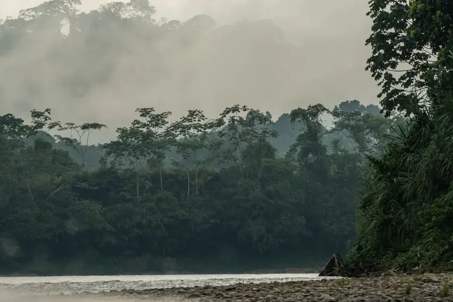
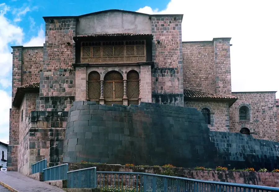
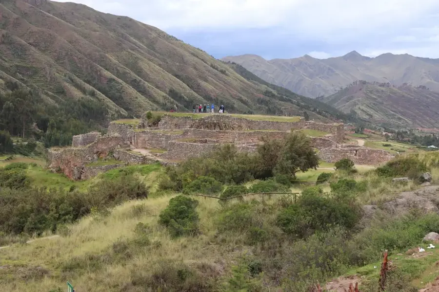
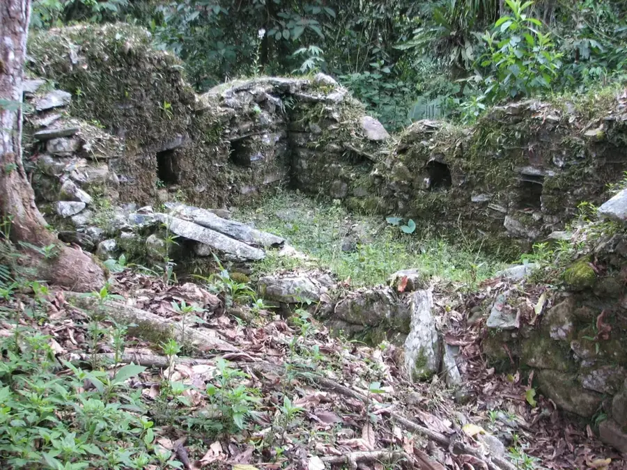
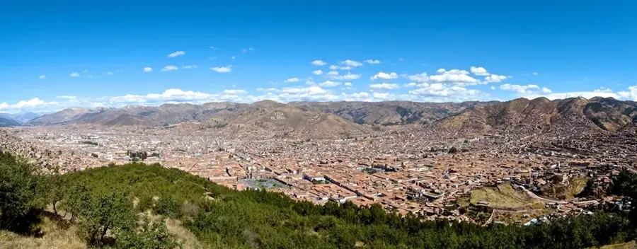
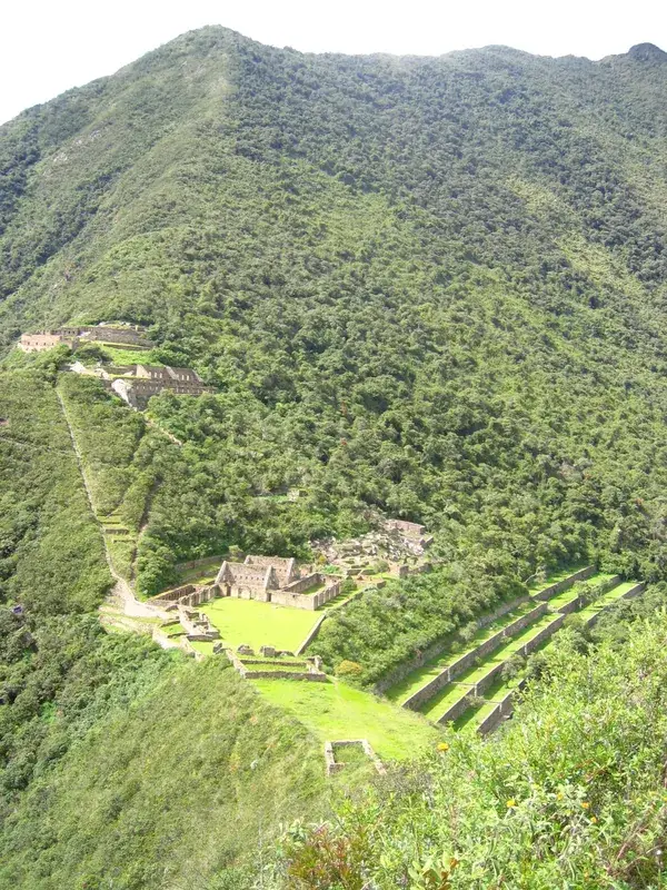
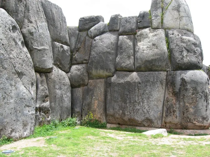
Vilcabamba, often called the "Lost City of the Incas," was the final capital of the Neo-Inca State and the last refuge of the empire after the Spanish conquest of Cusco. Established in 1539 by Manco Inca Yupanqui in the remote Espíritu Pampa region, it served as a center of resistance against the conquistadors for over three decades. The city finally fell to Spanish forces in 1572, leading to the capture and execution of the last Inca ruler, Túpac Amaru. For many years, the location of Vilcabamba was a subject of debate, with many wrongly identifying it as Machu Picchu or Choquequirao. Archaeological work in the 20th century, notably by Gene Savoy and later Vincent Lee, confirmed its true location at Espíritu Pampa deep in the Amazonian rainforest. The site contains remains of palaces, ceremonial platforms, and dwellings that blend traditional Inca masonry with local jungle adaptations.
Best time to visit & climate
The most pleasant time to visit is Jun, Aug, Sep.
| Jan | Feb | Mar | Apr | May | Jun | Jul | Aug | Sep | Oct | Nov | Dec | |
|---|---|---|---|---|---|---|---|---|---|---|---|---|
| Avg °C | 13 | 13 | 13 | 13 | 13 | 12 | 12 | 13 | 13 | 14 | 14 | 13 |
| Rain mm | 132 | 133 | 106 | 40 | 14 | 5 | 12 | 12 | 24 | 56 | 74 | 133 |
📋 Practical info
Geography
Facts
- Vilcabamba was established in 1539 as the capital of the Neo-Inca State.
- The city was captured and destroyed by the Spanish in 1572.
- The site is located approximately 130 km northwest of the city of Cusco.
- Gene Savoy correctly identified Espíritu Pampa as Vilcabamba in 1964.
- Four Inca rulers reigned here, concluding with Túpac Amaru I.
- The complex includes over 300 stone structures hidden within the rainforest.
Explore nearby
Notable places around
Route planner — Car & Motorhome
Where do you start? We build the route here, with stops and country notes along the way.
© OpenStreetMap contributors · OpenRouteService
Sights nearby
Frequently asked questions
What is the best way to access it?
Do I need a guide?
What gear is necessary?
Is there food available on-site?
When is the weather most stable?
Vilcabamba: where is it located?
Vilcabamba: when is the best time to visit?
Vilcabamba: why is it worth visiting?

Nearby cities
History & landmarks

Nature
More places