Plizio Visual Lab
Urubamba River
Weather…
Water temperature…
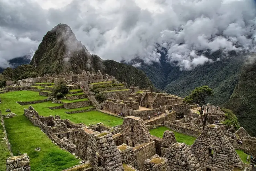
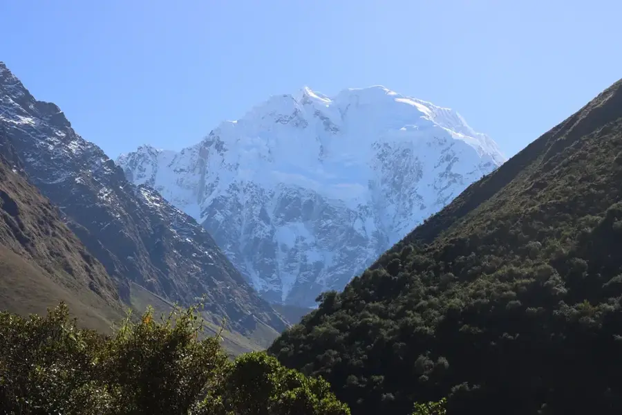
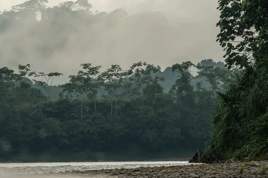
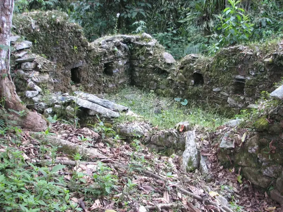
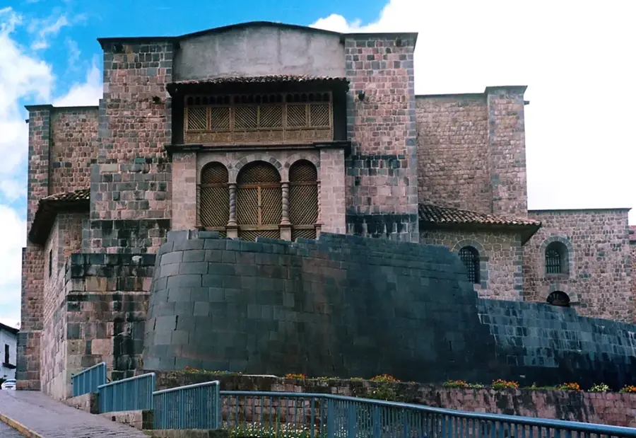
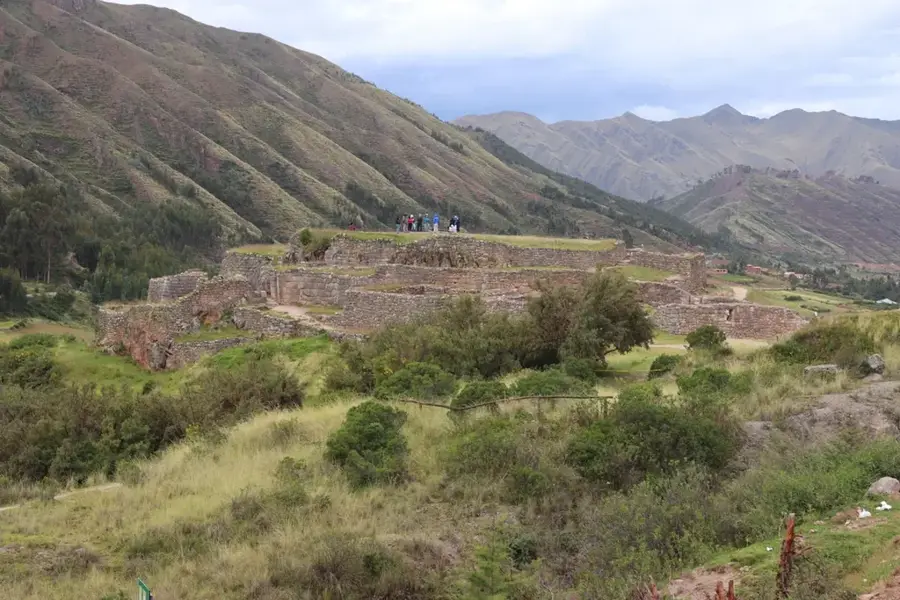
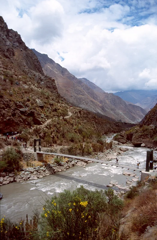
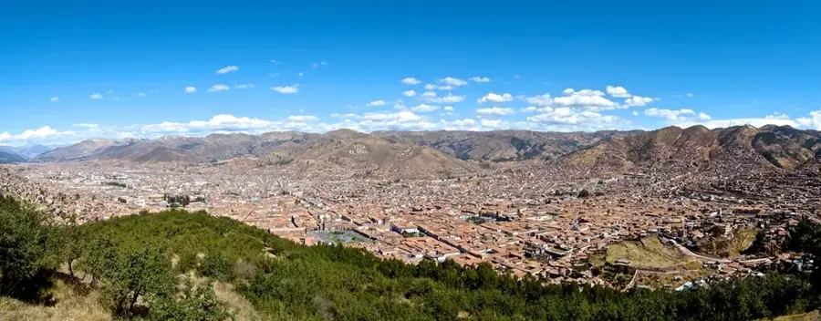
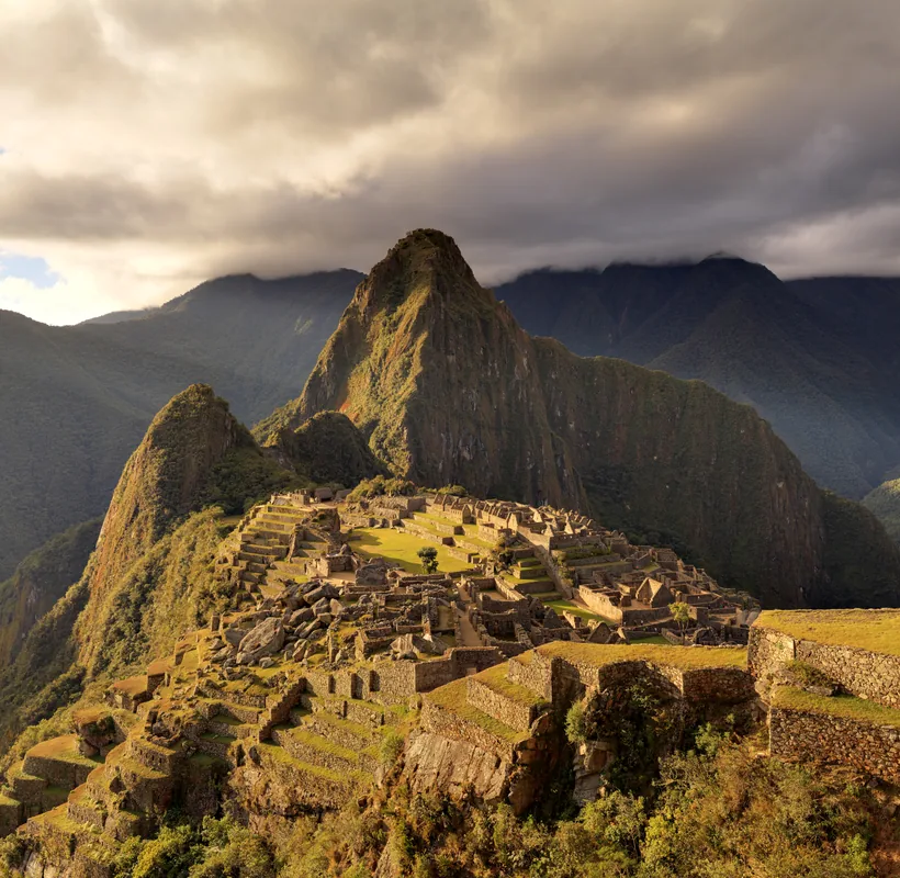
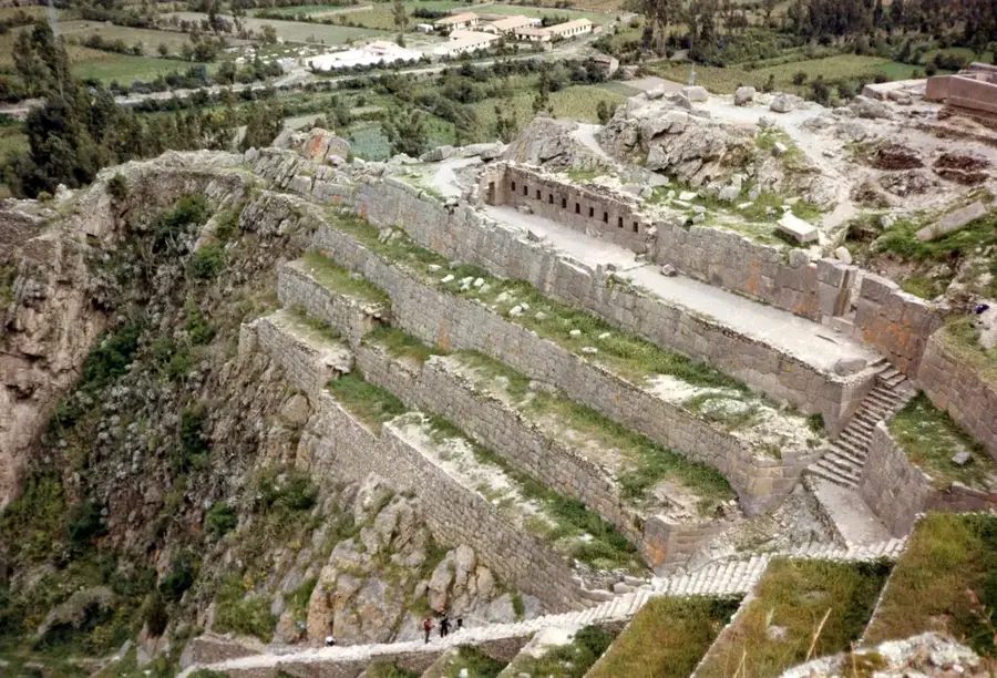
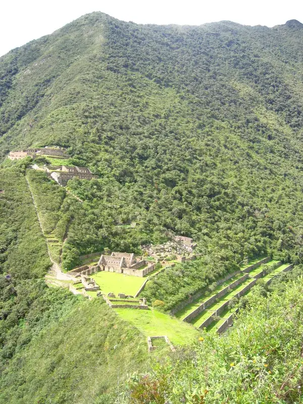
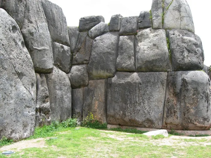
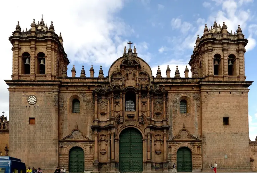
The Urubamba River is one of the most significant waterways in the Peruvian highlands and the central feature of the Sacred Valley of the Incas. It originates in the Andes southeast of Cusco, near the drainage divide between the Lake Titicaca basin and the Amazon basin. The river flows through deep canyons and fertile valleys before joining the Tambo River to form the Ucayali, one of the primary headwaters of the Amazon River. To the Incas, the river, which they called Willkamayu, held sacred status and was considered the terrestrial reflection of the Milky Way galaxy. Along its course lie numerous world-famous archaeological sites, including Pisac, Ollantaytambo, and the citadel of Machu Picchu, which towers over one of its meanders. The river valley has been renowned for centuries for the cultivation of high-quality maize and other agricultural products, supported by ancient irrigation systems. Geographically, the river is divided into the Upper Urubamba (Vilcanota) and the Lower Urubamba, separated by the Pongo de Mainique canyon. Today, the river is ecologically vital and serves as a major hub for whitewater rafting and tourism.
- Location: Peru
- Top sights: The Guardian Farm · Parador turistico · Chochapata
- Nearby: Urubamba (44 km)
Best time to visit & climate
The most pleasant time to visit is Jun, Aug, Sep.
| Jan | Feb | Mar | Apr | May | Jun | Jul | Aug | Sep | Oct | Nov | Dec | |
|---|---|---|---|---|---|---|---|---|---|---|---|---|
| Avg °C | 14 | 13 | 13 | 13 | 13 | 13 | 13 | 14 | 14 | 14 | 14 | 14 |
| Rain mm | 133 | 131 | 100 | 41 | 12 | 5 | 12 | 10 | 22 | 60 | 73 | 135 |
📋 Practical info
Geography
Facts
- The total length of the river is approximately 862 kilometers.
- In its upper reaches, it is known as the Vilcanota River until Urubamba.
- The Pongo de Mainique canyon marks the transition to the Amazon lowlands.
- The citadel of Machu Picchu is located 450 meters above the river bed.
- The river drains a massive basin of over 60,000 square kilometers.
- Peru's largest natural gas project, Camisea, is located in the Urubamba basin.
Explore nearby
Notable places around
Route planner — Car & Motorhome
Where do you start? We build the route here, with stops and country notes along the way.
© OpenStreetMap contributors · OpenRouteService
Sights in the town Urubamba River (5)
Sights nearby
Frequently asked questions
Why is the Urubamba valley called 'Sacred Valley'?
What is the best way to get to the valley?
Can you do water sports on the river?
Is the climate there pleasant?
Is it worth a visit for families?
Urubamba River: where is it located?
Urubamba River: what is there to see?
Urubamba River: when is the best time to visit?
Urubamba River: why is it worth visiting?

Nearby cities
History & landmarks

More places