Plizio Visual Lab
San Rafael Hills
Weather…
Water temperature…
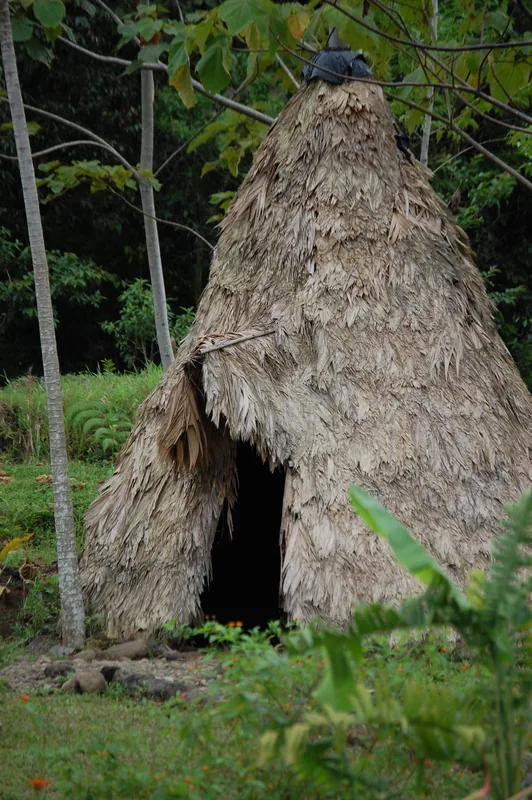
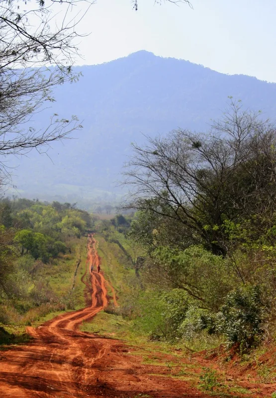
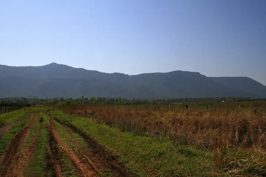
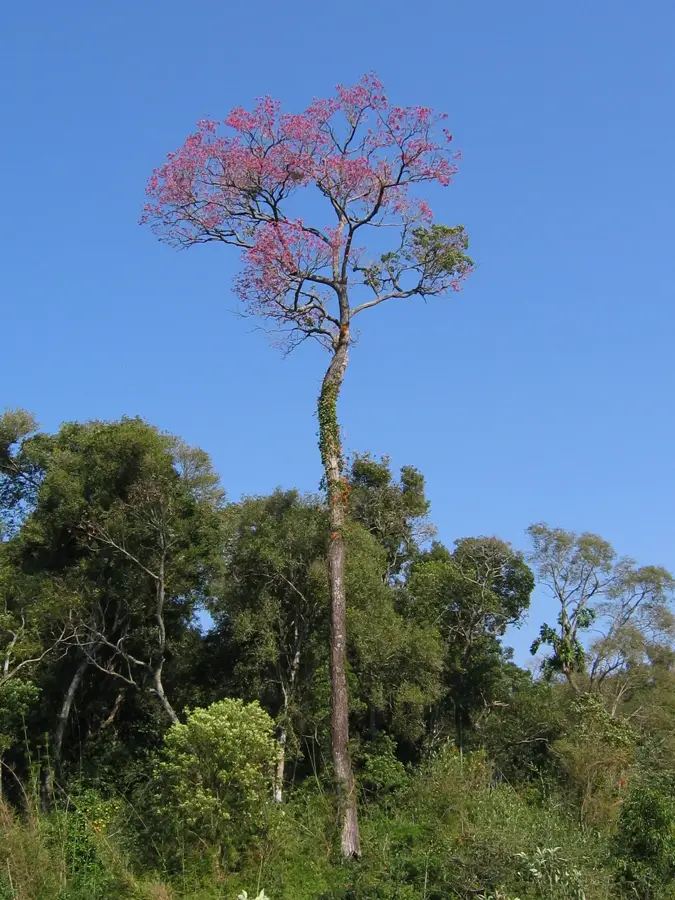
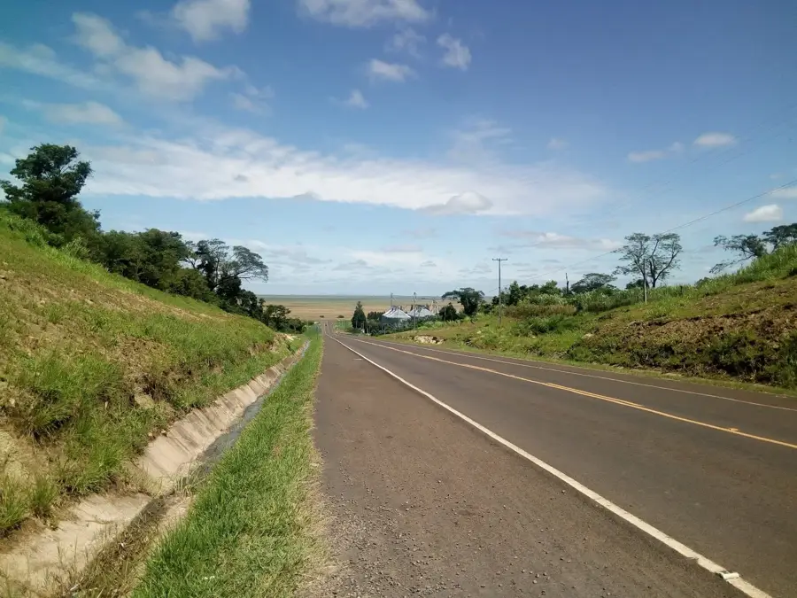
The San Rafael Hills (Serranía de San Rafael) are located in southeastern Paraguay, spanning the departments of Itapúa and Caazapá, and represent one of the country's most vital ecological refuges. This hilly range is part of the Paraná Plateau and is characterized by gentle slopes covered by the original Atlantic Forest (Bosque Atlántico del Alto Paraná). Covering over 70,000 hectares, the region hosts exceptional biodiversity, including more than 400 bird species, many of which are endemic or endangered. Geologically, the area is predominantly composed of basalt shaped by millennia of erosion. San Rafael National Park was established in 1992 to protect this critical habitat from advancing deforestation driven by agriculture. Beyond its ecological role, the area serves as an important water catchment and reservoir for the surrounding rural communities.
- Location: Paraguay
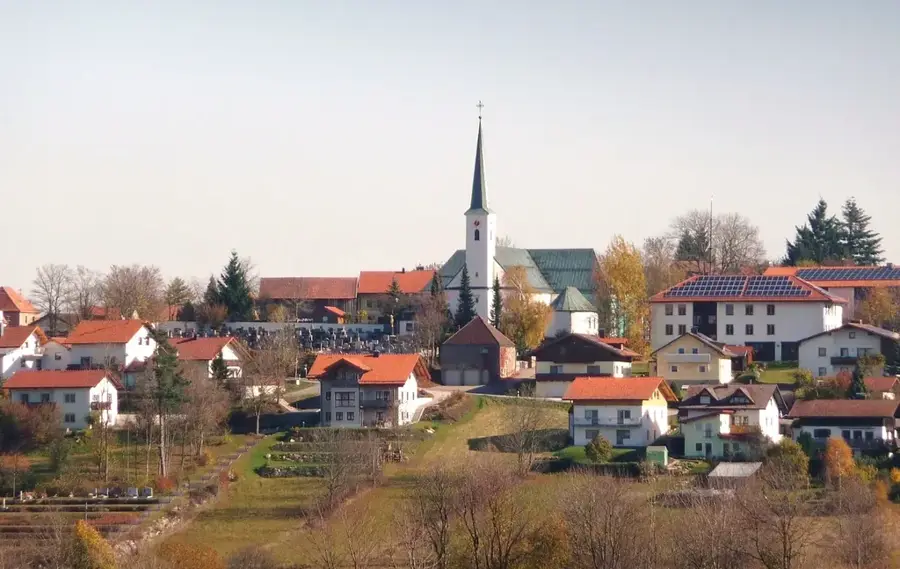
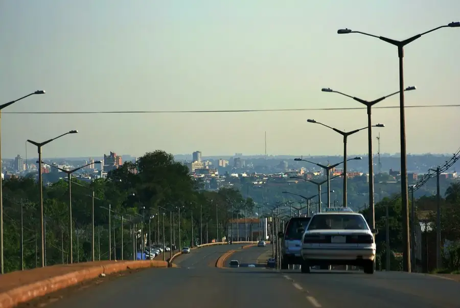
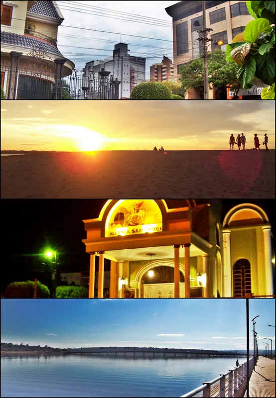
- Nearby: Bella Vista (34 km)
Best time to visit & climate
The most pleasant time to visit is Apr, Aug, Sep.
| Jan | Feb | Mar | Apr | May | Jun | Jul | Aug | Sep | Oct | Nov | Dec | |
|---|---|---|---|---|---|---|---|---|---|---|---|---|
| Avg °C | 27 | 26 | 25 | 22 | 18 | 16 | 15 | 17 | 19 | 22 | 24 | 26 |
| Rain mm | 147 | 124 | 137 | 176 | 159 | 107 | 87 | 73 | 105 | 198 | 188 | 173 |
📋 Practical info
Geography
Facts
- It is home to more than 430 different bird species.
- The national park was officially established in 1992.
- It covers a total area of approximately 73,000 hectares.
- Part of the critically endangered Atlantic Forest ecosystem.
- A major source for several tributaries of the Tebicuary River.
- The highest elevations reach about 400 meters above sea level.
Explore nearby
Notable places around
Route planner — Car & Motorhome
Where do you start? We build the route here, with stops and country notes along the way.
© OpenStreetMap contributors · OpenRouteService
Sights nearby
Frequently asked questions
What is the San-Rafael-Hügelland?
Is it a tourist hotspot?
How do I get there?
Are there camping options there?
Do you need special equipment?
San Rafael Hills: where is it located?
San Rafael Hills: when is the best time to visit?
San Rafael Hills: why is it worth visiting?

Nearby cities


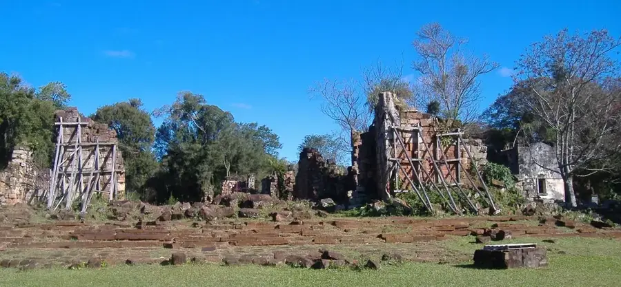
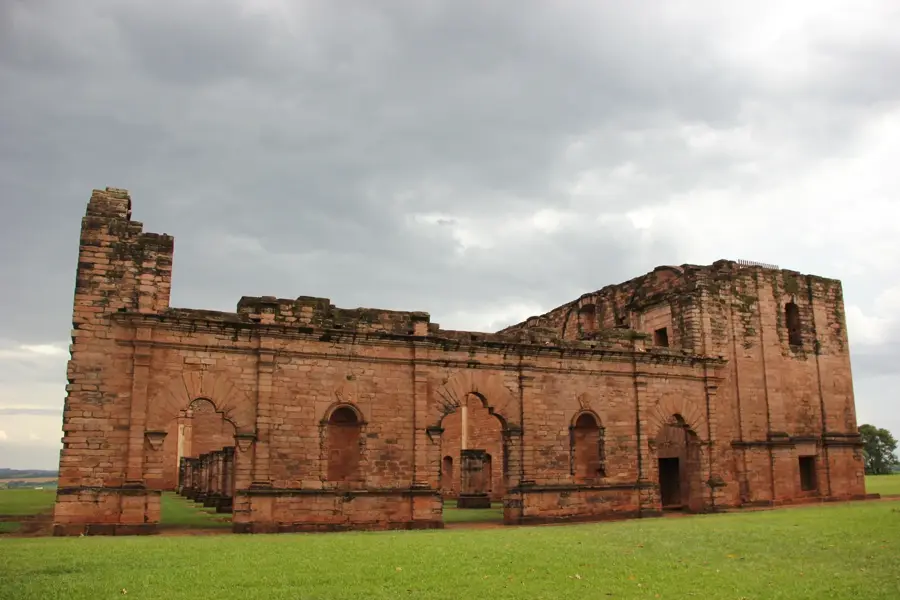
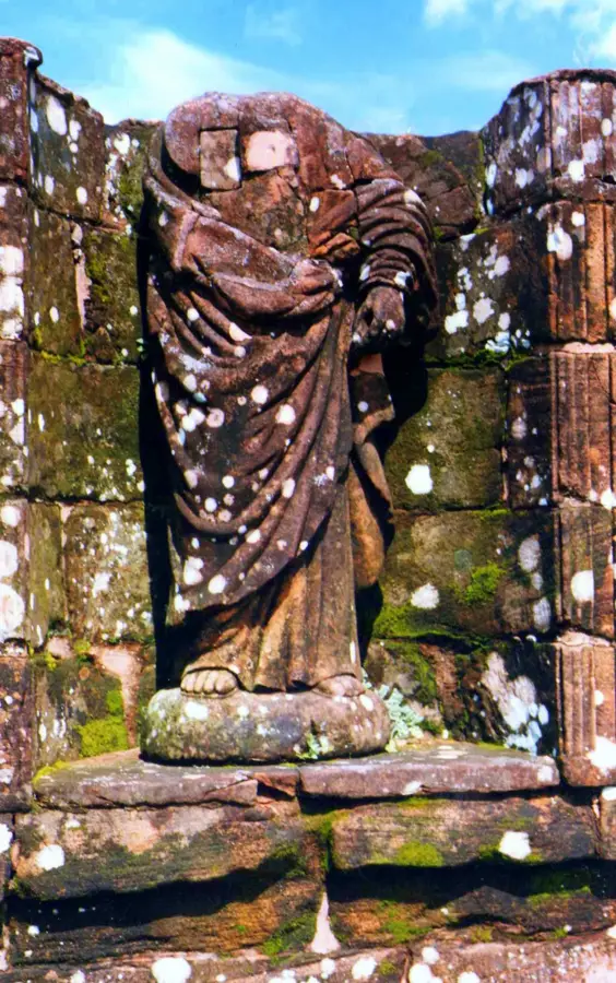
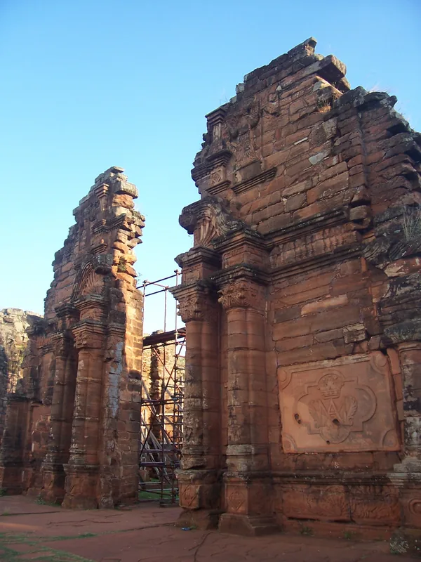
History & landmarks
More places