Plizio Visual Lab
Cerro Peró
Weather…
Water temperature…
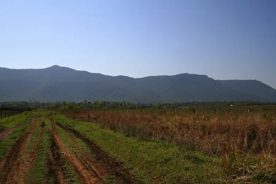
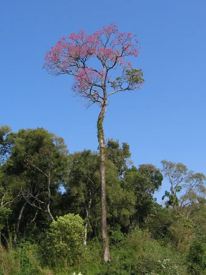
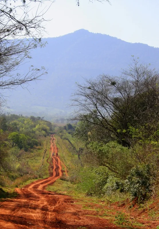
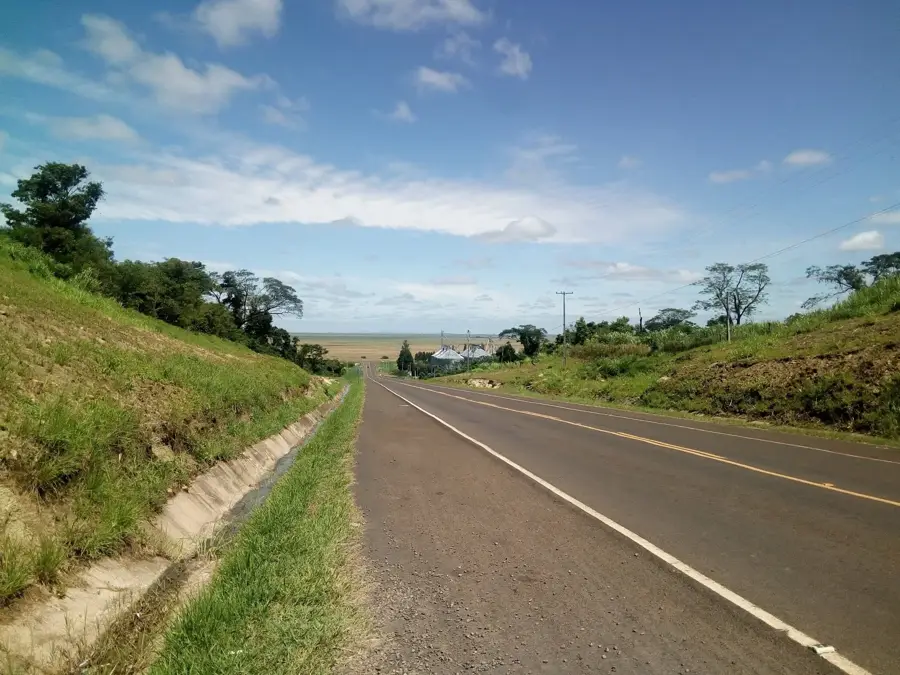
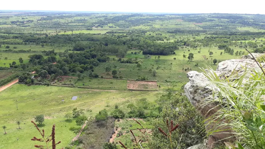
Cerro Peró is a prominent peak located in the Guairá Department of Paraguay, forming part of the Cordillera del Ybytyruzú range. Standing at approximately 842 meters above sea level, it was long considered the highest point in Paraguay until more precise modern surveys confirmed Cerro Tres Kandú as the record holder. The geological structure of the mountain is composed primarily of sandstone and basalt, consistent with the formations found throughout eastern Paraguay. Its slopes are blanketed in dense Atlantic Forest, home to a high degree of biodiversity including rare orchids and endemic avian species. For hikers and naturalists, the summit provides expansive panoramic views of the surrounding plains and agricultural landscapes of the region. Locally, the mountain is a significant symbol of natural permanence and geographical identity. Access is typically managed through trails within the Ybytyruzú Managed Resources Reserve, which protects the area's unique ecological features.
- Location: Paraguay
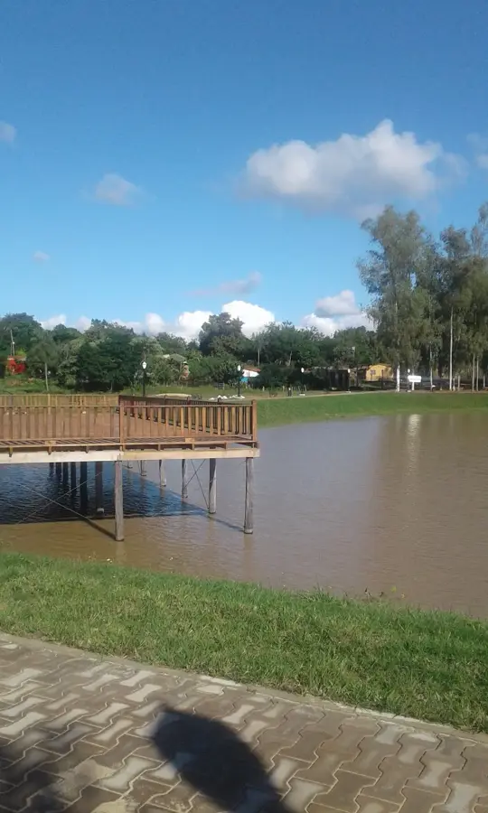
- Top sights: Casa de madera · Cerro Tres Kandú · The Tree Viewpoint
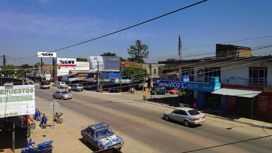
- Nearby: Independencia (18 km)
Best time to visit & climate
The most pleasant time to visit is Jul–Sep.
| Jan | Feb | Mar | Apr | May | Jun | Jul | Aug | Sep | Oct | Nov | Dec | |
|---|---|---|---|---|---|---|---|---|---|---|---|---|
| Avg °C | 27 | 27 | 26 | 23 | 18 | 17 | 16 | 18 | 20 | 23 | 24 | 26 |
| Rain mm | 135 | 129 | 133 | 159 | 166 | 94 | 78 | 61 | 93 | 189 | 188 | 164 |
📋 Practical info
Geography
Facts
- The peak stands at an elevation of approximately 842 meters.
- It is located within the Cordillera del Ybytyruzú in Guairá.
- The mountain features a mix of sandstone and basalt formations.
- It was traditionally cited as the highest point in the nation.
- The area is part of the Ybytyruzú Managed Resources Reserve.
- The slopes support a rich ecosystem of Atlantic Forest flora.
Explore nearby
Notable places around
Route planner — Car & Motorhome
Where do you start? We build the route here, with stops and country notes along the way.
© OpenStreetMap contributors · OpenRouteService
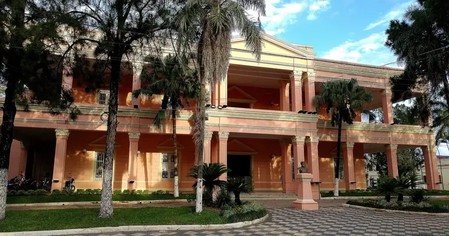
Sights in the town Cerro Peró (6)
Sights nearby
Frequently asked questions
How long does a hike to Cerro Peró take?
Is the mountain suitable for families?
Is photography allowed on the mountain?
What is the weather like at the summit?
Are there mountain huts?
Cerro Peró: where is it located?
Cerro Peró: what is there to see?
Cerro Peró: when is the best time to visit?
Cerro Peró: why is it worth visiting?

Nearby cities
More places