Plizio Visual Lab
Ngerekebesang Hill
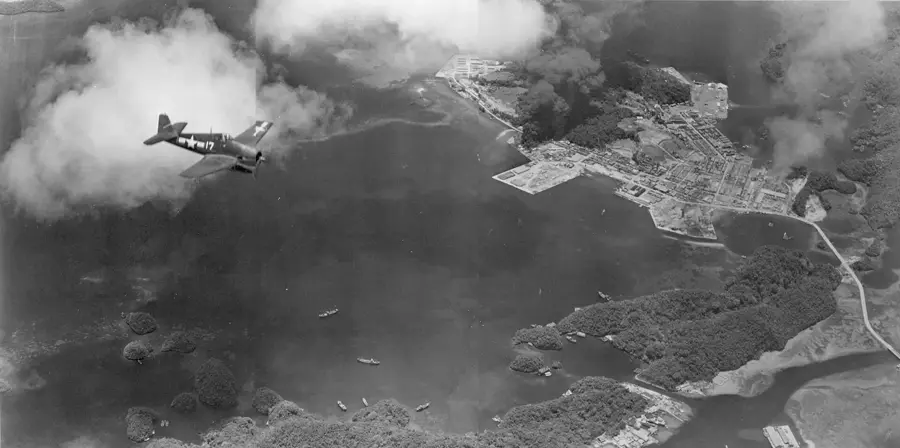
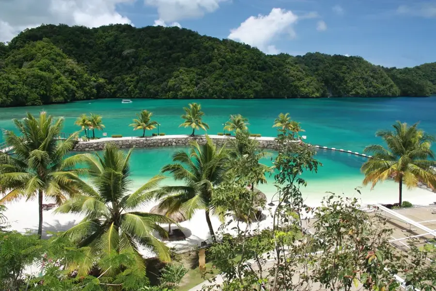
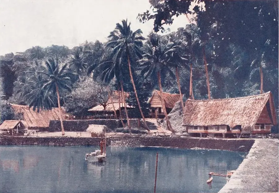
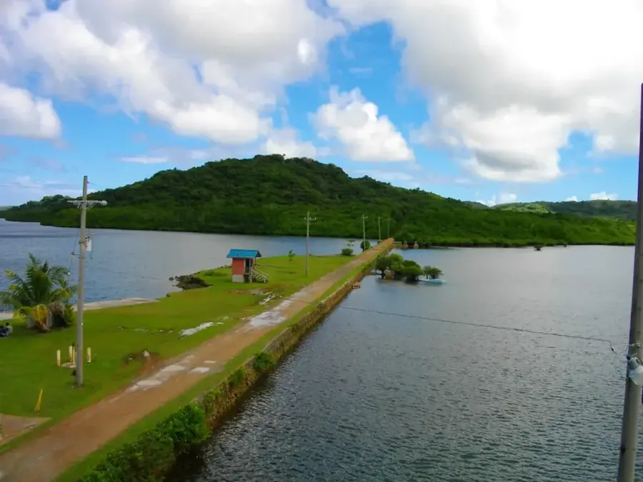
Ngerekebesang Hill is the dominant topographical feature of Ngerekebesang Island, standing as a silent witness to the island's strategic past. During World War II, the hill was heavily fortified by Japanese forces, who utilized its elevation for surveillance and coastal defense. Hikers today can explore the remnants of this era, finding weathered Japanese bunkers, gun emplacements, and communication trenches scattered throughout the dense tropical forest. The trek to the summit is relatively accessible and provides visitors with one of the most comprehensive views in Palau. From the peak, the entire skyline of Koror is visible, along with the world-renowned Rock Islands and the intricate patterns of the surrounding coral reefs and lagoons. This site gives a poignant blend of natural beauty and military history, making it for those looking to experience Palau's heritage beyond its underwater attractions.
- Location: Palau
- Top sights: Roiskebesang · Rois Ketund · Roisemelachel
- Nearby: Airai (7 km)
Best time to visit & climate
The most pleasant time to visit is Feb–Apr.
| Jan | Feb | Mar | Apr | May | Jun | Jul | Aug | Sep | Oct | Nov | Dec | |
|---|---|---|---|---|---|---|---|---|---|---|---|---|
| Avg °C | 28 | 28 | 28 | 28 | 28 | 28 | 28 | 28 | 28 | 28 | 28 | 28 |
| Rain mm | 216 | 197 | 183 | 177 | 279 | 331 | 375 | 303 | 284 | 236 | 239 | 246 |
📋 Practical info
Geography
Facts
- Location: Ngerekebesang Island, Koror
- Elevation: approx. 100 meters
- Historical use: Japanese headquarters (WWII)
- Infrastructure: site of transmission towers
- Access: hiking trail leads to the summit
- Visibility: view of Meyuns and Malakal
Explore nearby
Notable places around
Route planner — Car & Motorhome
Where do you start? We build the route here, with stops and country notes along the way.
© OpenStreetMap contributors · OpenRouteService
Sights in the town Ngerekebesang Hill (10)
Roisemelachel
Elevation in the Ngerekebesang hill range, Palau.
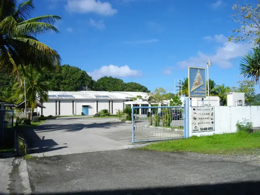
Palau Aquarium
Public aquarium featuring local marine life and corals.
PillBox
Ruins of a Japanese WWII bunker.
Palau Mariculture Demonstration Center
Center demonstrating sustainable marine aquaculture in Palau.
Belau Art Gallery
Gallery with works by Palauan artists, including paintings and sculptures.
Asahi Baseball Field🌳 park
Baseball field located in Koror, Palau.
Sights nearby
Frequently asked questions
Is the hike up Ngerekebesang Hill worth it?
How long does the climb take?
Are there trail signs?
Is the place wheelchair accessible?
What is the best time for photos?
Ngerekebesang Hill: where is it located?
Ngerekebesang Hill: what is there to see?
Ngerekebesang Hill: when is the best time to visit?
Ngerekebesang Hill: why is it worth visiting?

Nearby cities

History & landmarks
Nature

More places