Plizio Visual Lab
Malakal Peak

Weather…
Water temperature…
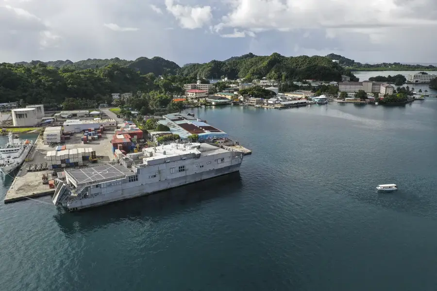
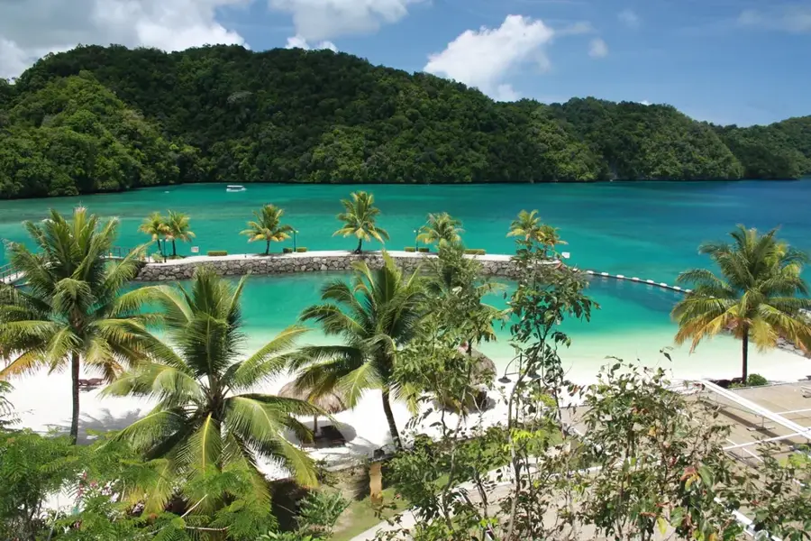
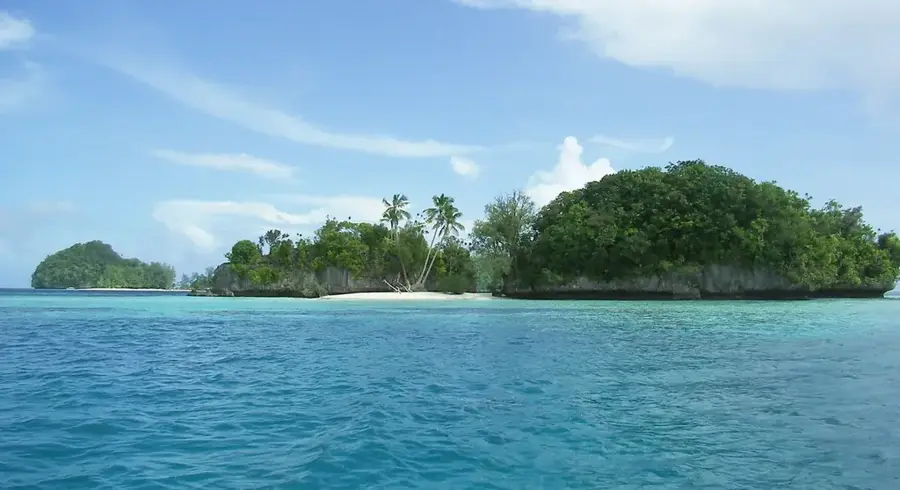
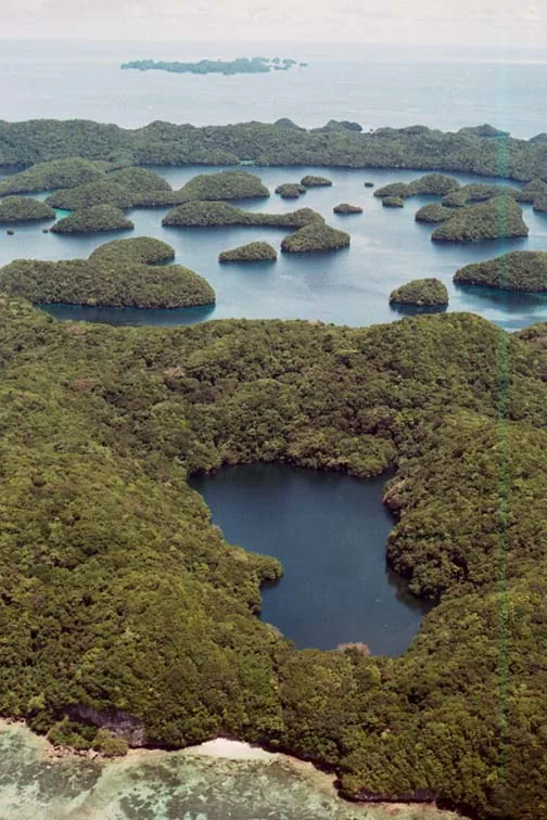
Malakal Peak is the highest point on Malakal Island, rising approximately 124 meters above sea level near the bustling commercial hub of Koror. This hill is a geologically significant volcanic remnant, providing a stark contrast to the nearby uplifted coral limestone formations known as the Rock Islands. A hiking trail leads adventurous visitors through thick tropical scrub to the summit, where they are rewarded with an expansive view of Palau's main deep-water harbor. From this vantage point, one can see the busy shipping lanes, the turquoise lagoons, and the dense clusters of islands that define Palau's unique geography. The peak also serves as a site for vital telecommunication towers due to its prominence. For travelers, it is a popular spot for a quick hike to capture panoramic photographs of the sunset or to simply enjoy the cool breeze and the commanding view of the Pacific Ocean and the surrounding reef systems.
- Location: Palau
- Top sights: Roisemelachel · Palau Mariculture Demonstration Center · PillBox
- Nearby: Airai (8 km)
Best time to visit & climate
The most pleasant time to visit is Feb–Apr.
| Jan | Feb | Mar | Apr | May | Jun | Jul | Aug | Sep | Oct | Nov | Dec | |
|---|---|---|---|---|---|---|---|---|---|---|---|---|
| Avg °C | 28 | 28 | 28 | 28 | 28 | 28 | 28 | 28 | 28 | 28 | 28 | 28 |
| Rain mm | 216 | 197 | 183 | 177 | 279 | 331 | 375 | 303 | 284 | 236 | 239 | 246 |
📋 Practical info
Geography
Facts
- Elevation: approx. 124 meters
- Location: Malakal Island, Koror
- Function: site of mobile and radio towers
- Surroundings: directly above Palau's main port
- Geology: part of the Koror volcanic zone
- Access: road leads partially to the top
Explore nearby
Notable places around
Route planner — Car & Motorhome
Where do you start? We build the route here, with stops and country notes along the way.
© OpenStreetMap contributors · OpenRouteService
Sights in the town Malakal Peak (10)
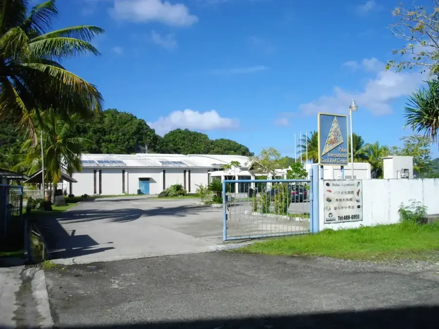
Palau Aquarium
Public aquarium featuring local marine life and corals.
Roiskebesang
Hill on Arakabesan island, Palau, part of the Ngerekebesang hill range.
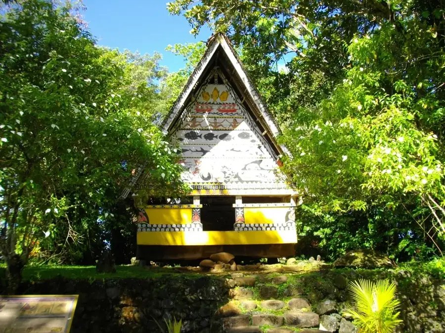
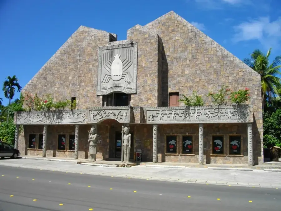
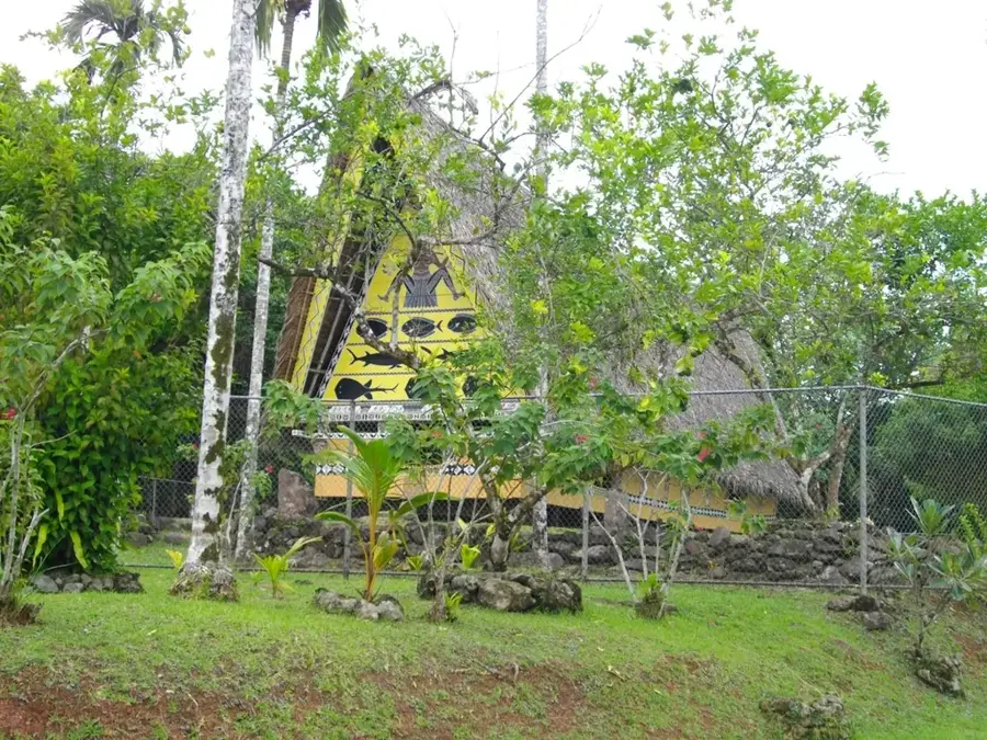
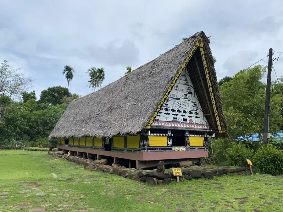
Ngarachamayong Cultural Center
Cultural center preserving and showcasing Palauan traditions.
Rois Ketund
Peak in the Ngerekebesang hill area, Palau.
Asahi Baseball Field🌳 park
Baseball field located in Koror, Palau.
WWII amphibious tank Type 2 Ka-Mi
Wreck of a Japanese Type 2 Ka-Mi amphibious tank from WWII.
Sights nearby
Frequently asked questions
Is Malakal Peak very steep?
Is there an observation deck?
What do I need to know about the weather?
How much time should I plan?
Can I park nearby?
Malakal Peak: where is it located?
Malakal Peak: what is there to see?
Malakal Peak: when is the best time to visit?
Malakal Peak: why is it worth visiting?

Nearby cities

History & landmarks
Nature
More places