Plizio Visual Lab
Ngeruktabel Island

Weather…
Water temperature…
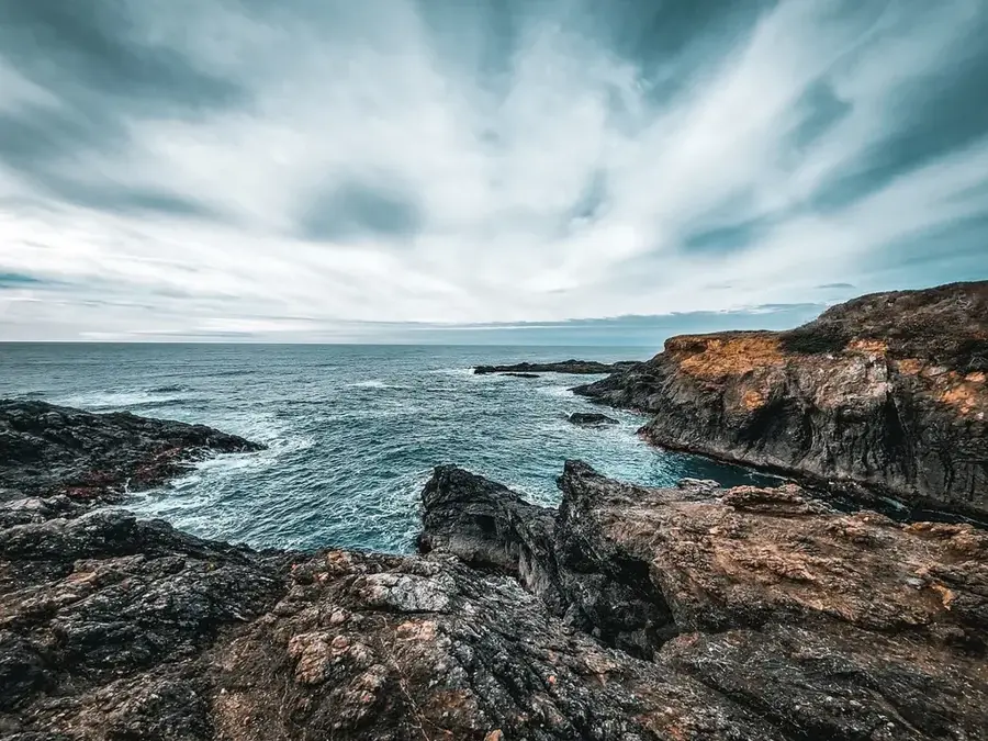
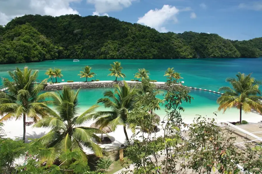
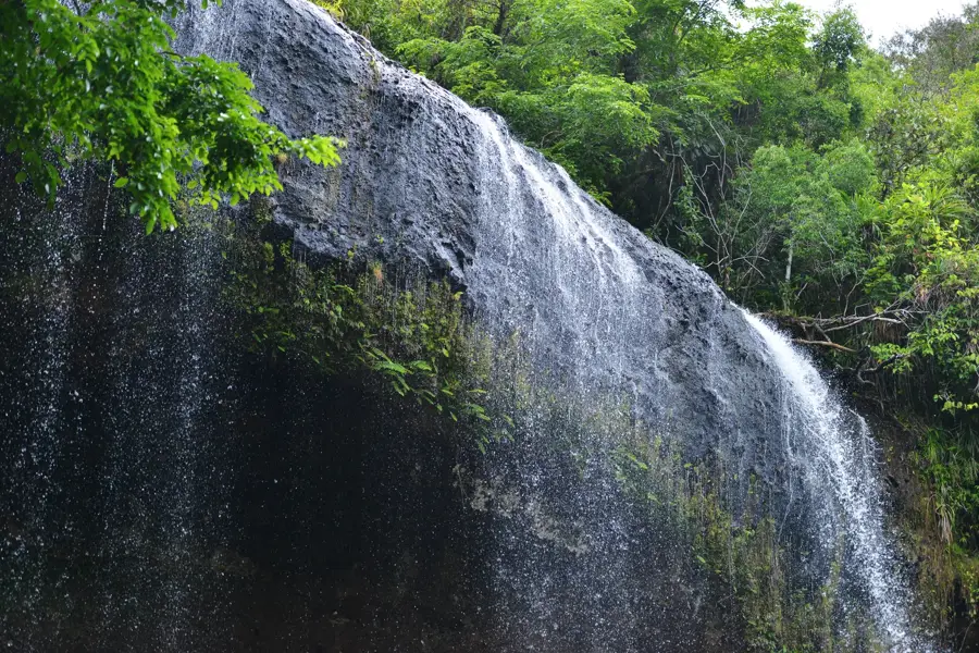
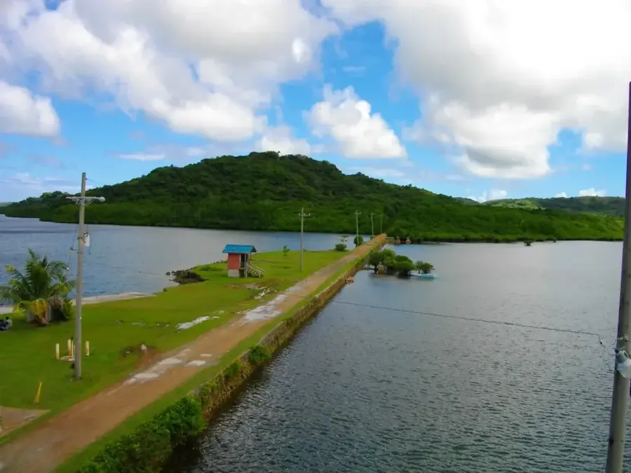
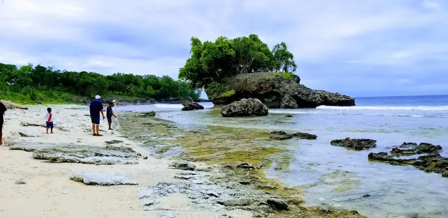
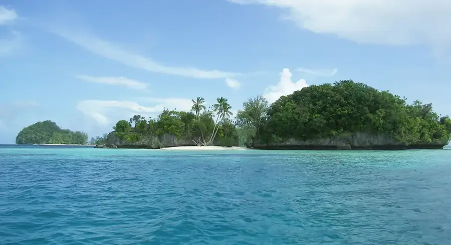
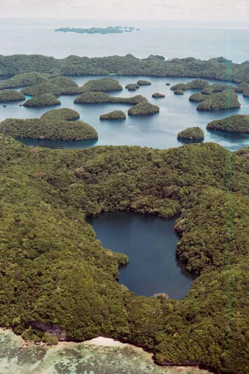
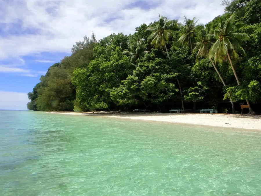
Ngeruktabel Island stands as the second largest landmass within Palau's Southern Lagoon Rock Islands, a region celebrated for its unique limestone karst topography. Spanning roughly 19 square kilometers, this uninhabited island is defined by dramatic cliffs that plunge into the turquoise waters and a rugged interior reaching an elevation of 204 meters. The shoreline is intricately carved into deep bays and hidden lagoons, accessible only by small vessels, which serve as nursery grounds for diverse marine life. The island's dense forest canopy is a vital sanctuary for Pacific seabirds, making it one of the most significant nesting sites in the archipelago. Beyond its natural splendor, Ngeruktabel holds historical remnants from the Pacific theater of World War II, with old Japanese outposts and communication ruins scattered across its ridges. As part of a UNESCO World Heritage site, the island is strictly managed to preserve its delicate balance of endemic flora and geological integrity, offering a glimpse into an ecosystem largely untouched by modern development.
- Location: Palau
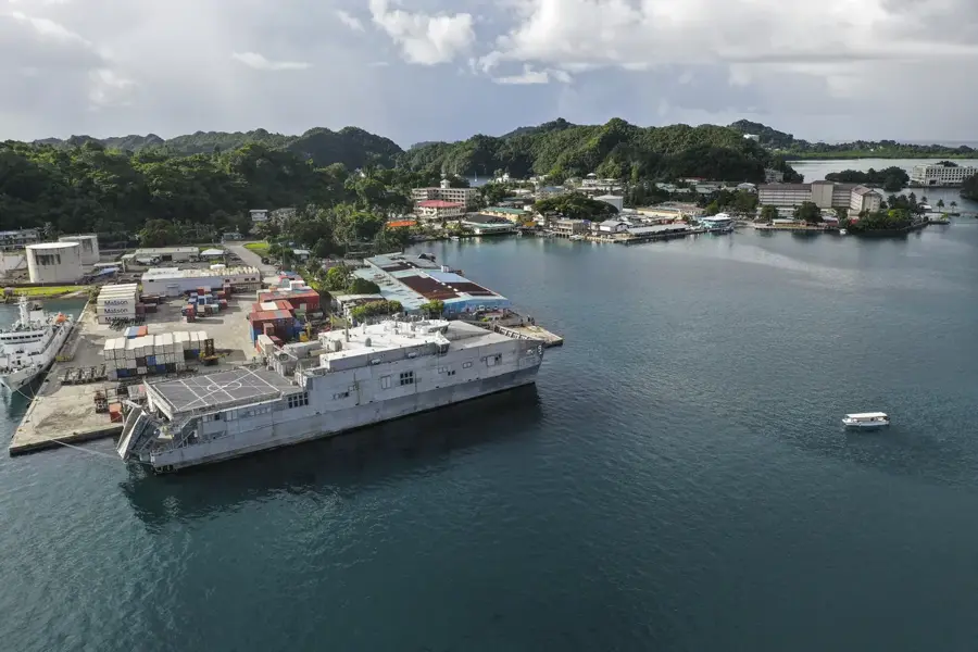
- Nearby: Meyuns (7 km)
Best time to visit & climate
The most pleasant time to visit is Feb–Apr.
| Jan | Feb | Mar | Apr | May | Jun | Jul | Aug | Sep | Oct | Nov | Dec | |
|---|---|---|---|---|---|---|---|---|---|---|---|---|
| Avg °C | 28 | 28 | 28 | 28 | 28 | 28 | 28 | 28 | 28 | 28 | 28 | 28 |
| Rain mm | 216 | 197 | 183 | 177 | 279 | 331 | 375 | 303 | 284 | 236 | 239 | 246 |
📋 Practical info
Geography
Facts
- The island has a total land area of approximately 19.1 square kilometers
- The highest peak on the island reaches 210 meters above sea level
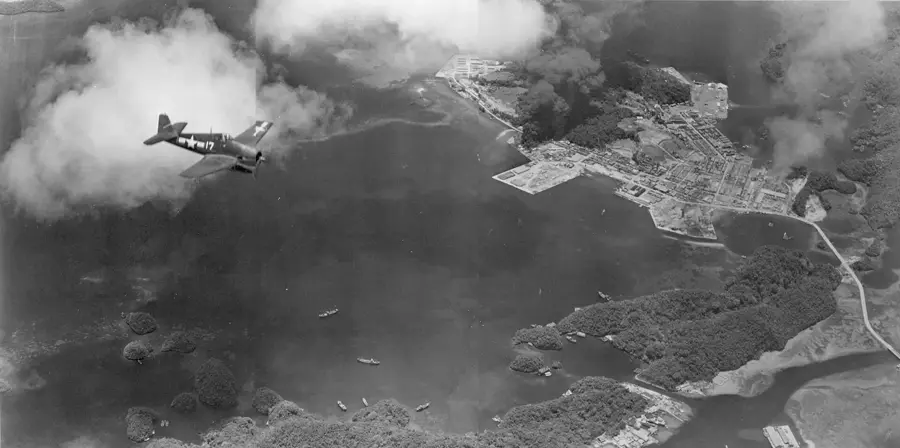
- Remnants of Japanese military installations from WWII can be found here
- The famous 'Milky Way' cove is located adjacent to the island
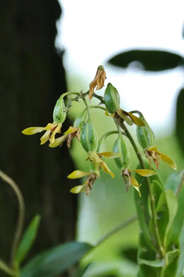
- The vegetation consists primarily of undisturbed limestone forest
- Ngeruktabel is a significant breeding ground for the Palau megapode
Explore nearby
Notable places around
Route planner — Car & Motorhome
Where do you start? We build the route here, with stops and country notes along the way.
© OpenStreetMap contributors · OpenRouteService
Sights in the town Ngeruktabel Island (1)
Sights nearby
Frequently asked questions
Is Ngeruktabel inhabited?
What can you do there?
Is the water calm?
Can you camp there?
What is the condition of the reefs?
Ngeruktabel Island: where is it located?
Ngeruktabel Island: when is the best time to visit?
Ngeruktabel Island: why is it worth visiting?

Nearby cities

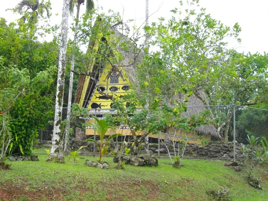
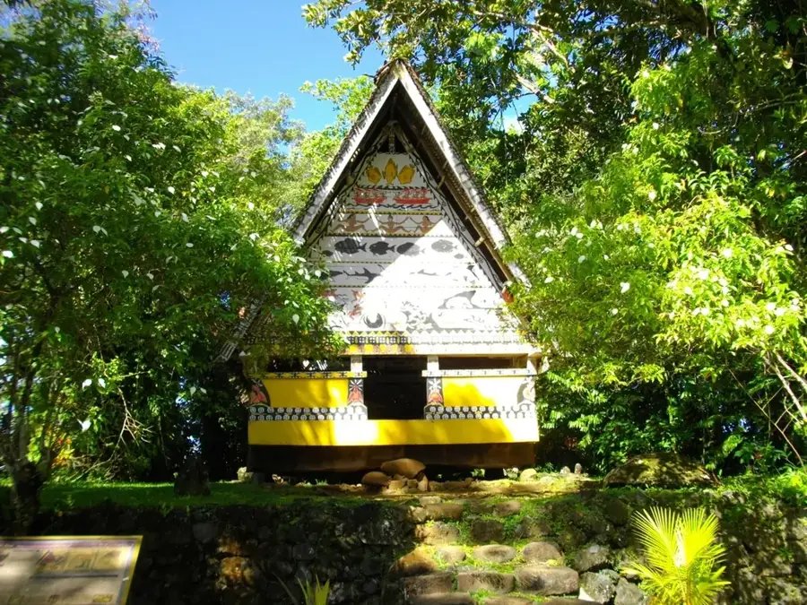
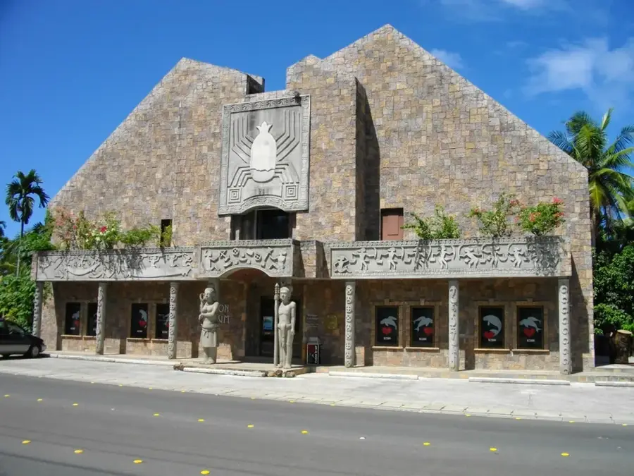
History & landmarks
Nature

More places