Plizio Visual Lab
Japan-Palau Friendship Bridge
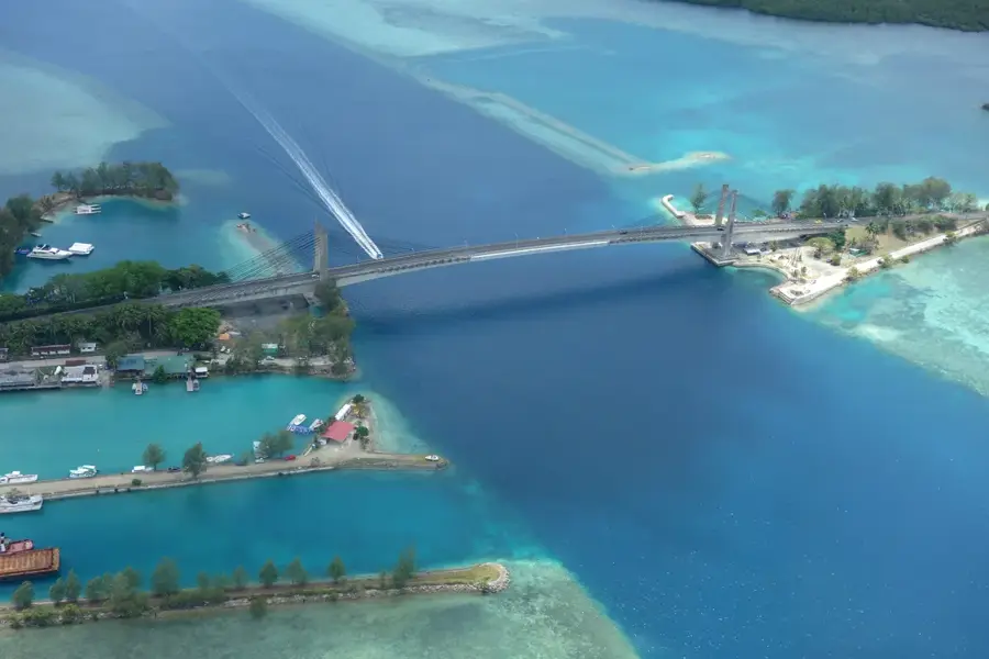
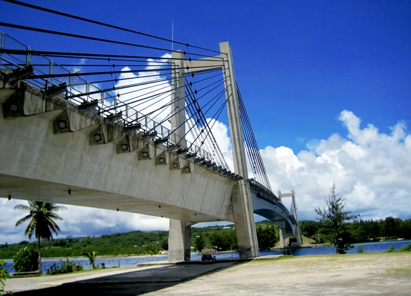
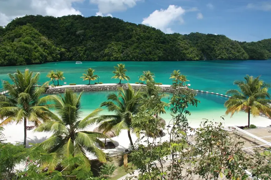
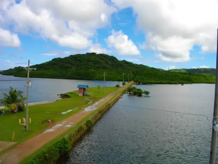
The Japan-Palau Friendship Bridge, frequently referred to as the KB Bridge, is a critical piece of infrastructure connecting the islands of Koror and Babeldaob. Completed in 2002 through Japanese grant aid, the current structure replaced the original 1977 bridge that collapsed unexpectedly in 1996, causing a national emergency. Spanning 413 meters, this extradosed bridge is designed to withstand the region's tropical environment while facilitating the movement of people, goods, and essential utilities like water and electricity. Beyond its practical function, the bridge serves as a major landmark and a symbol of the deep diplomatic ties between Palau and Japan. Travelers crossing the span are treated to panoramic views of the crystal-clear lagoons and the distinctive Rock Islands in the distance. Its strategic location makes it the backbone of the Palauan economy, ensuring seamless connectivity between the international airport on Babeldaob and the tourist hubs in Koror.
- Location: Palau
- Top sights: Mount Tsunsu · Natinal · Tunt
- Nearby: Koror Business District (4 km)
Best time to visit & climate
The most pleasant time to visit is Feb–Apr.
| Jan | Feb | Mar | Apr | May | Jun | Jul | Aug | Sep | Oct | Nov | Dec | |
|---|---|---|---|---|---|---|---|---|---|---|---|---|
| Avg °C | 28 | 28 | 28 | 28 | 28 | 28 | 28 | 28 | 28 | 28 | 28 | 28 |
| Rain mm | 216 | 197 | 183 | 177 | 279 | 331 | 375 | 303 | 284 | 236 | 239 | 246 |
📋 Practical info
Geography
Facts
- The current bridge was officially opened on January 11, 2002.
- The total length of the structure is 413 meters.
- The main span of the bridge measures 247 meters.
- It was constructed by the Japanese firm Kajima Corporation.
- The bridge was funded by a grant from the Japanese government.
- It replaced the original 1977 bridge that collapsed in 1996.
Explore nearby
Notable places around
Route planner — Car & Motorhome
Where do you start? We build the route here, with stops and country notes along the way.
© OpenStreetMap contributors · OpenRouteService
Sights in the town Japan-Palau Friendship Bridge (5)
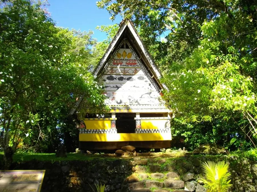
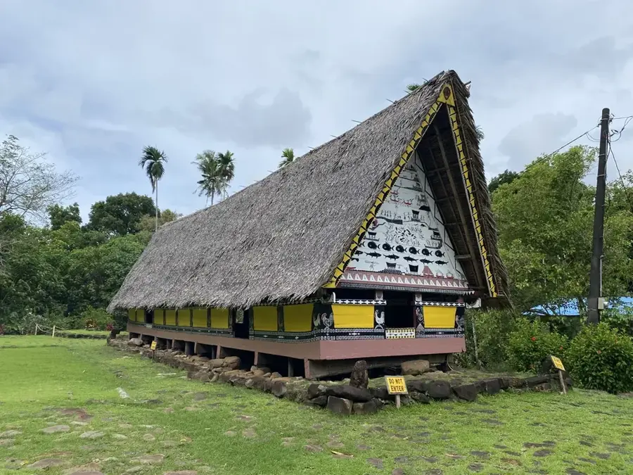
Tibedul
Mountain on Babeldaob Island, Palau. Rises in the south of the island.
Sights nearby
Frequently asked questions
What does the Japan-Palau Friendship Bridge connect?
Can you walk across the bridge?
Is the bridge a good photo opportunity?
Are there parking options nearby?
What is the historical significance of the bridge?
Japan-Palau Friendship Bridge: where is it located?
Japan-Palau Friendship Bridge: what is there to see?
Japan-Palau Friendship Bridge: when is the best time to visit?
Japan-Palau Friendship Bridge: why is it worth visiting?

Nearby cities

History & landmarks

Nature
More places