Plizio Visual Lab
Ngaremeduu Conservation Area
Weather…
Water temperature…
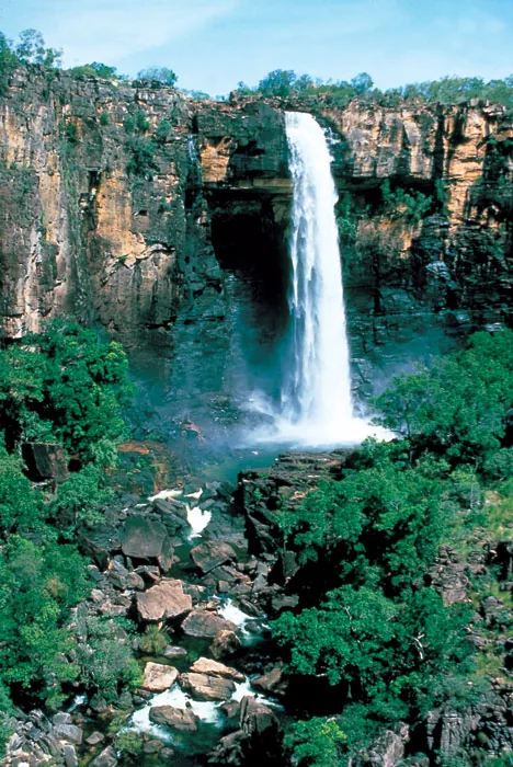
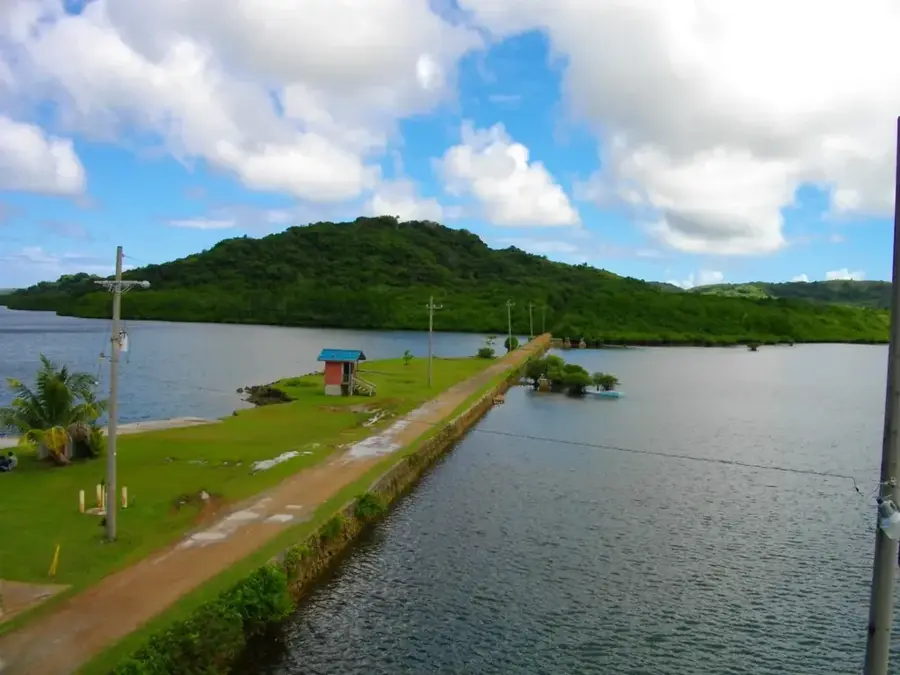
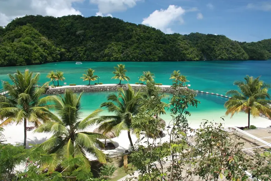
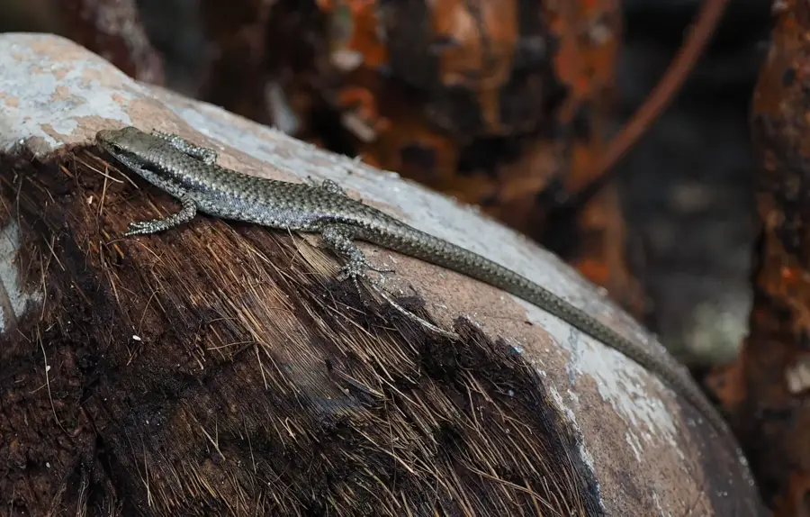
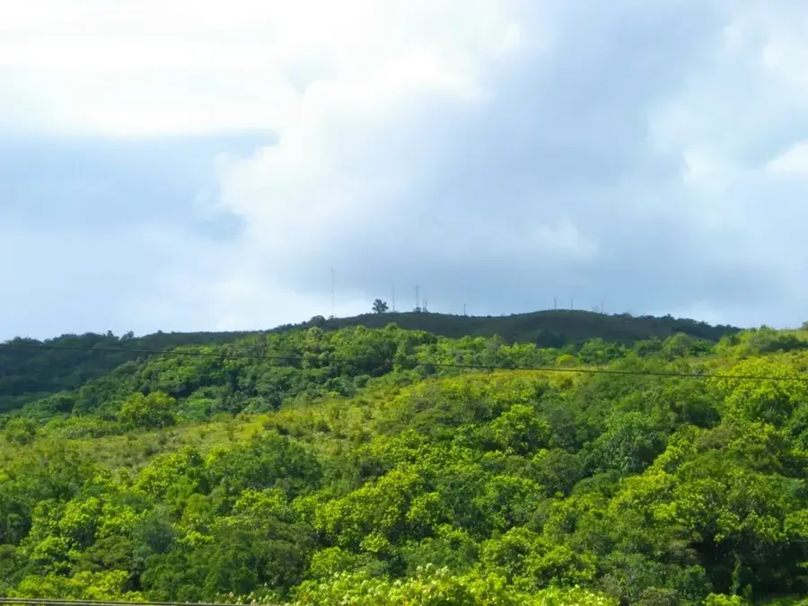
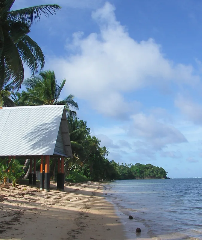
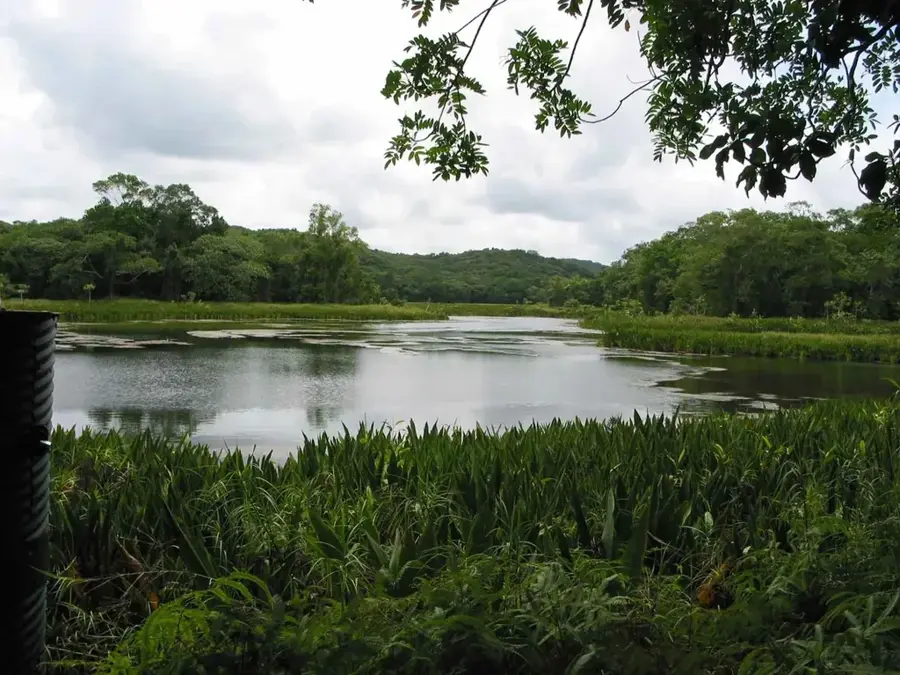
The Ngaremeduu Conservation Area is the largest and most diverse estuarine ecosystem in Palau, spanning over 6,000 hectares on the western side of Babeldaob Island. This protected region encompasses the convergence of three major river systems, creating a rich mosaic of freshwater and marine habitats. Its vast mangrove forests and extensive seagrass beds are critical for the survival of the endangered dugong and serve as a vital nursery for countless species of tropical fish. The area is also a sanctuary for saltwater crocodiles and numerous endemic bird species. Beyond its biological importance, Ngaremeduu is essential for the local economy, providing sustainable fishing grounds and acting as a natural filtration system that protects the health of Palau's world-renowned coral reefs. Visitors to this Biosphere Reserve can explore the intricate network of tidal channels, experiencing firsthand the pristine wilderness and ecological complexity that make this area a cornerstone of Micronesian conservation efforts.
- Location: Palau
- Top sights: Omiotl · Toir Rois · Badechamelei
- Nearby: Ngatpang (5 km)
Best time to visit & climate
The most pleasant time to visit is Feb–Apr.
| Jan | Feb | Mar | Apr | May | Jun | Jul | Aug | Sep | Oct | Nov | Dec | |
|---|---|---|---|---|---|---|---|---|---|---|---|---|
| Avg °C | 28 | 28 | 28 | 28 | 28 | 28 | 28 | 28 | 28 | 28 | 28 | 28 |
| Rain mm | 216 | 197 | 183 | 177 | 279 | 331 | 375 | 303 | 284 | 236 | 239 | 246 |
📋 Practical info
Geography
Facts
- The conservation area was officially established in 1999
- It spans across the states of Aimeliik, Ngatpang, and Ngaremlengui
- The total protected area is approximately 5,000 hectares
- It contains the largest watershed basin in Palau
- The area hosts the highest density of saltwater crocodiles in the country
- It is a vital nursery ground for many species of reef fish
Explore nearby
Notable places around
Route planner — Car & Motorhome
Where do you start? We build the route here, with stops and country notes along the way.
© OpenStreetMap contributors · OpenRouteService
Sights in the town Ngaremeduu Conservation Area (3)
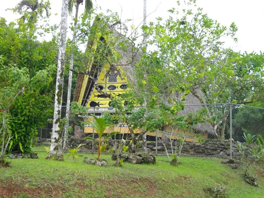
Badechamelei
Another peak in the conservation area, contributing to the region's topography.
Sights nearby
Frequently asked questions
Is the Ngaremeduu Conservation Area open to tourists?
Can you go birdwatching there?
What is the best season to visit?
Are there sanitary facilities on-site?
Do I have to pay a fee?
Ngaremeduu Conservation Area: where is it located?
Ngaremeduu Conservation Area: what is there to see?
Ngaremeduu Conservation Area: when is the best time to visit?
Ngaremeduu Conservation Area: why is it worth visiting?

Nearby cities


History & landmarks

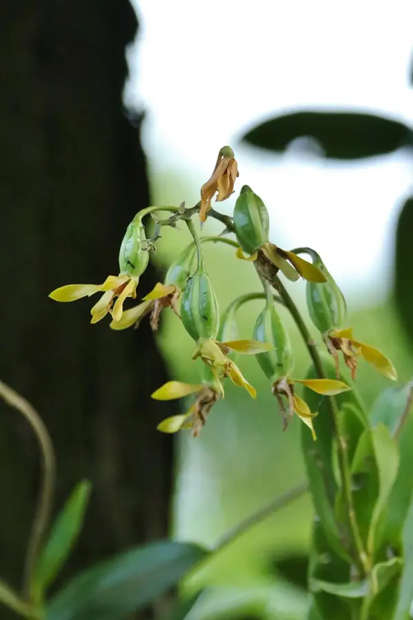
Nature

More places