Plizio Visual Lab
Ngaremeduu Bay

Weather…
Water temperature…
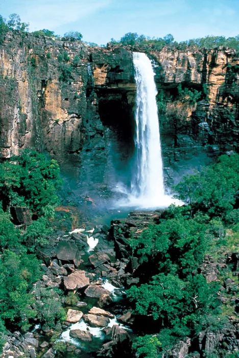
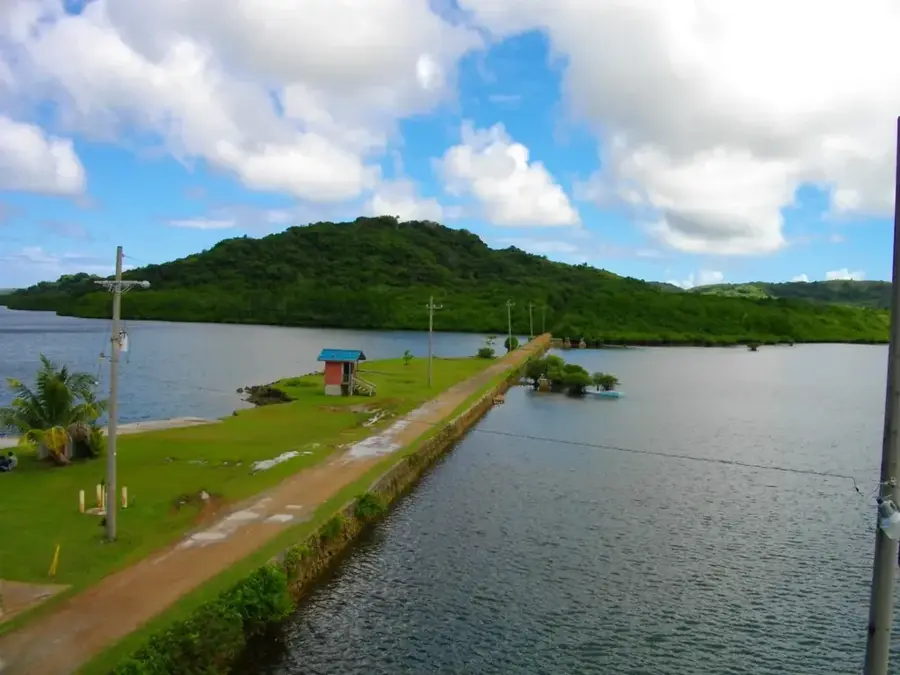
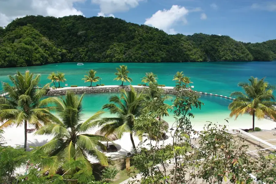
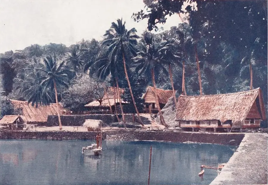
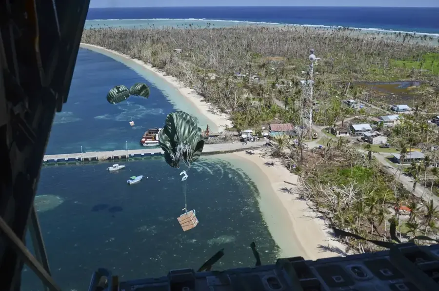
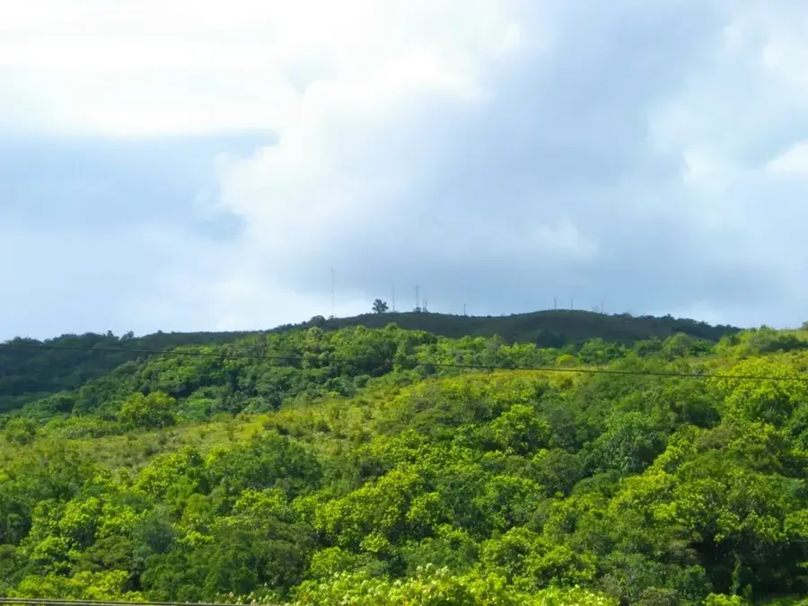
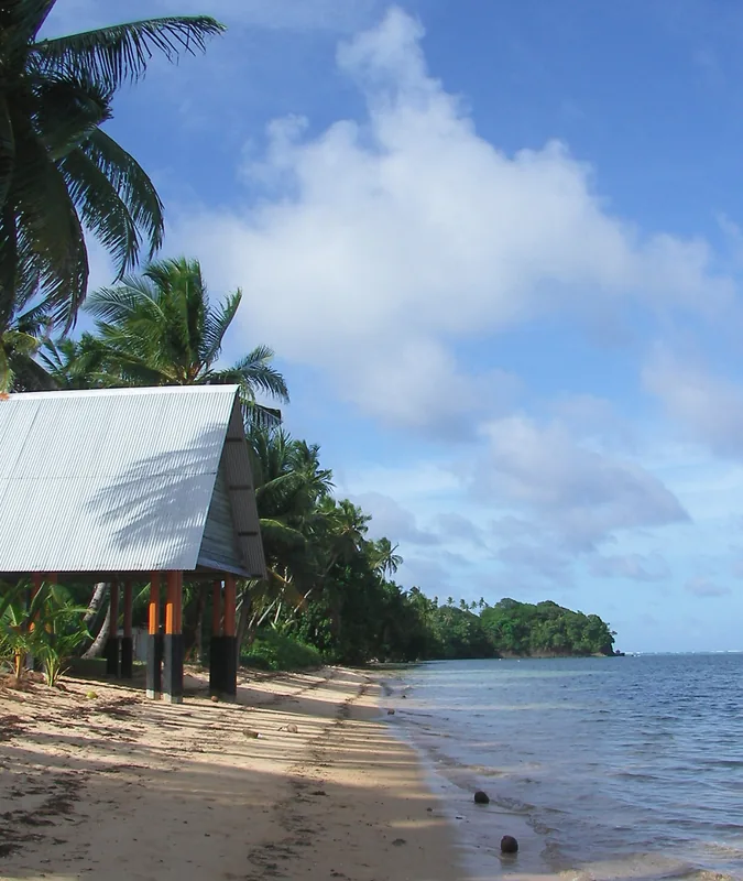
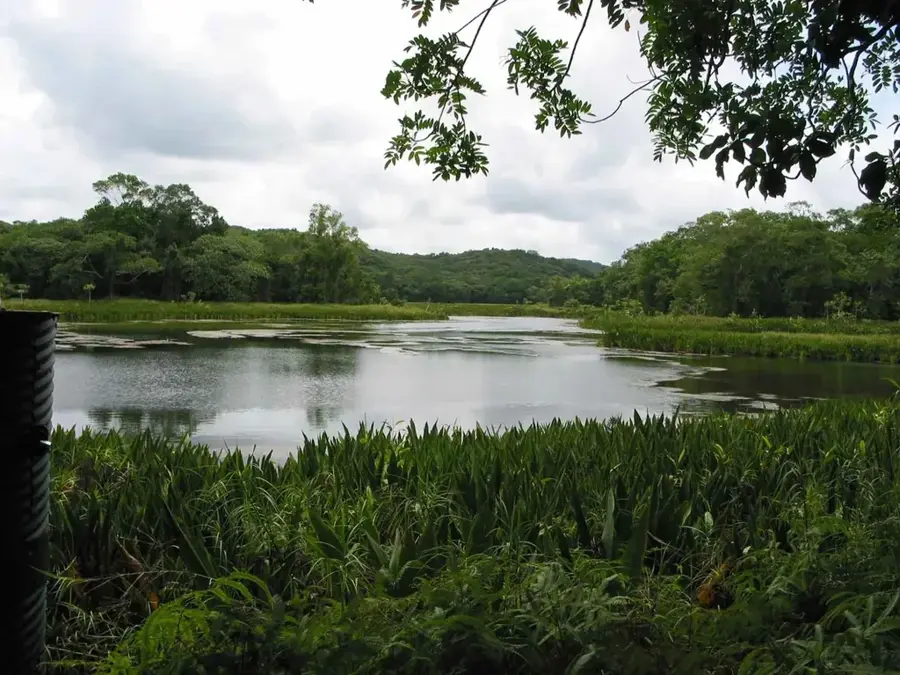
Ngaremeduu Bay, located on the island of Babeldaob, is the largest estuary and one of the most significant mangrove ecosystems in all of Micronesia. This ecological treasure consists of a complex network of waterways that provide a critical nursery and habitat for a vast array of marine life, including diverse fish species, crustaceans, and rare invertebrates. The extensive mangrove forests act as natural filters and coastal buffers, while serving as essential breeding grounds for many reef fish that eventually populate Palau’s world-renowned coral reefs. Due to its extraordinary biodiversity, the bay has been designated as part of a biosphere reserve to protect these delicate habitats from environmental threats. For eco-tourists, Ngaremeduu Bay has the chance to explore Palau’s pristine wilderness through kayaking tours, where one can observe endemic birds, crocodiles, and the unique flora of this intertidal zone. It is a site of immense scientific value and natural beauty, reflecting Palau’s global leadership in marine conservation.
- Location: Palau
- Top sights: Omiotl · Toir Rois · Sisngabang
- Nearby: Ngatpang (5 km)
Best time to visit & climate
The most pleasant time to visit is Feb–Apr.
| Jan | Feb | Mar | Apr | May | Jun | Jul | Aug | Sep | Oct | Nov | Dec | |
|---|---|---|---|---|---|---|---|---|---|---|---|---|
| Avg °C | 28 | 28 | 28 | 28 | 28 | 28 | 28 | 28 | 28 | 28 | 28 | 28 |
| Rain mm | 216 | 197 | 183 | 177 | 279 | 331 | 375 | 303 | 284 | 236 | 239 | 246 |
📋 Practical info
Geography
Facts
- Conservation area size: approx. 50 km²
- Ecosystems: mangroves, reefs, wetlands
- Location: between Aimeliik, Ngatpang, and Ngaremlengui
- Status: largest estuary in Micronesia
- Wildlife: critical habitat for dugongs
- Protection year: 1999 as a Conservation Area
Explore nearby
Notable places around
Route planner — Car & Motorhome
Where do you start? We build the route here, with stops and country notes along the way.
© OpenStreetMap contributors · OpenRouteService
Sights in the town Ngaremeduu Bay (3)
Sisngabang
A peak in Ngaremeduu Bay.
Sights nearby
Frequently asked questions
How difficult is the hike in Ngaremeduu Bay?
What is the best time of year to visit?
Are there restroom facilities on site?
Is the water in the bay suitable for swimming?
Do I need a guide?
Ngaremeduu Bay: where is it located?
Ngaremeduu Bay: what is there to see?
Ngaremeduu Bay: when is the best time to visit?
Ngaremeduu Bay: why is it worth visiting?

Nearby cities


History & landmarks

Nature

More places