Plizio Visual Lab
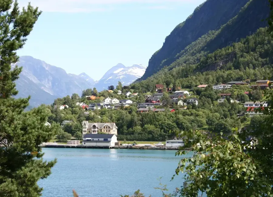
Jostedalsbreen
Weather…
Water temperature…
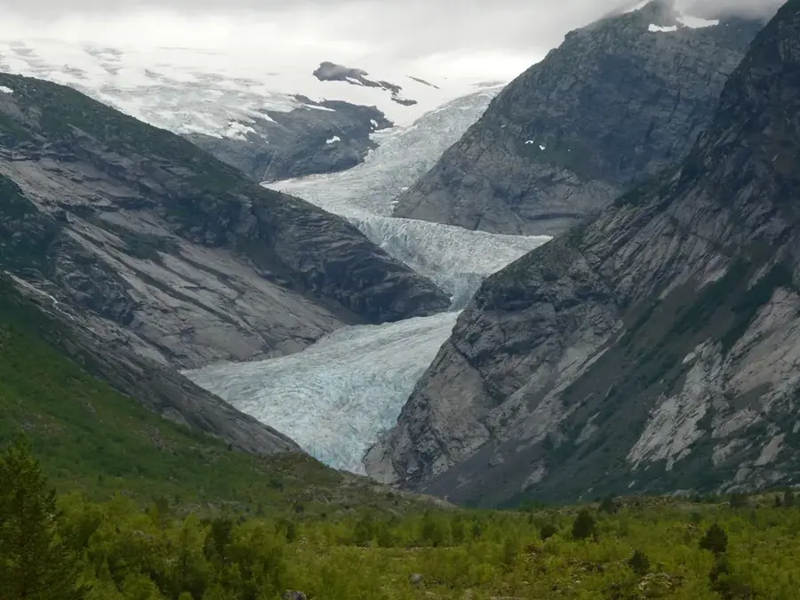
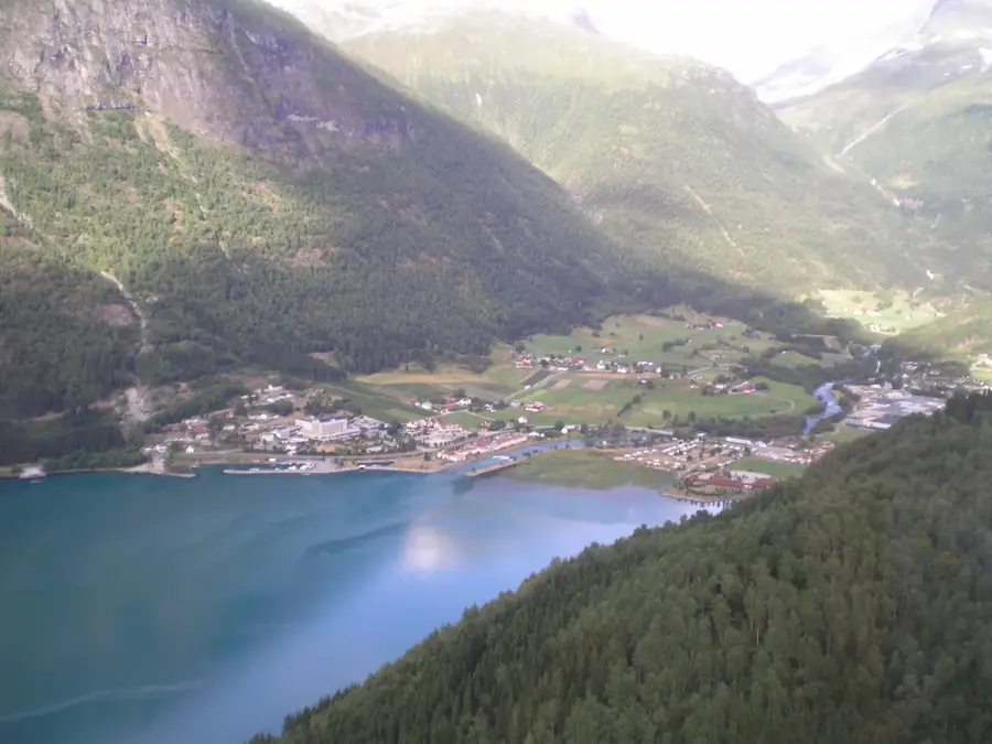
Jostedalsbreen is the largest glacier in continental Europe, situated in Vestland county. It covers an area of approximately 487 square kilometers and is the centerpiece of the national park established in 1991 to safeguard the unique glacial environment. The glacier extends for nearly 60 kilometers, with the ice reaching a maximum thickness of 600 meters at its deepest points. Several spectacular glacier tongues, including Briksdalsbreen and Nigardsbreen, descend into the surrounding valleys and serve as major tourist attractions. The area's geology exhibits profound signs of erosion caused by the advance and retreat of the ice over thousands of years. The region is of immense scientific value for climate research, as fluctuations in the glacier's mass balance are directly linked to global temperature changes. Historically, the glacier posed a challenge to travel, yet local farmers used to herd livestock across the ice between valleys. Today, park management focuses on visitor safety and environmental preservation as the glacier faces significant melting due to climate shifts.
- Location: Norway
- Top sights: Jostedalsbreen National Park · Høgste Breakulen
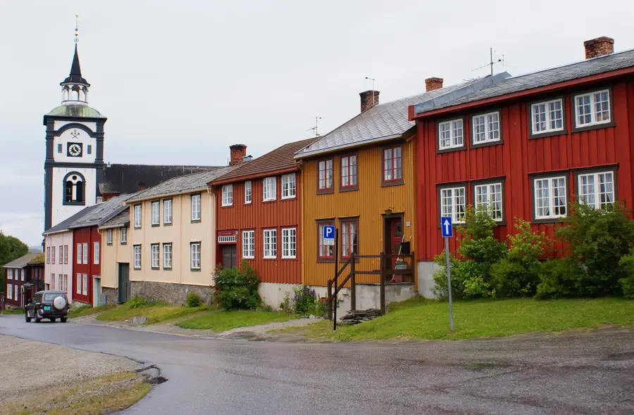
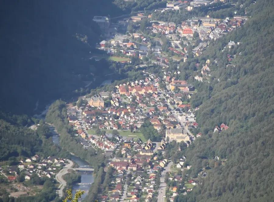
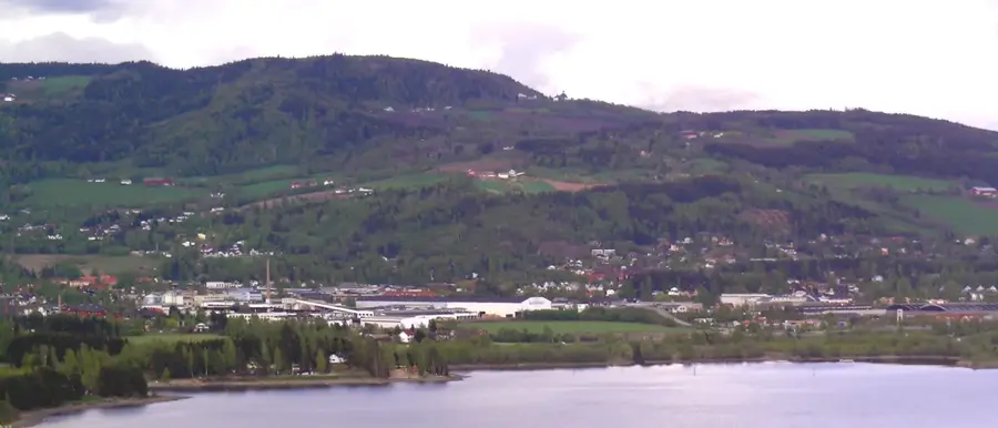
- Nearby: Jostedalen (20 km)
Best time to visit & climate
The most pleasant time to visit is Jun–Aug.
| Jan | Feb | Mar | Apr | May | Jun | Jul | Aug | Sep | Oct | Nov | Dec | |
|---|---|---|---|---|---|---|---|---|---|---|---|---|
| Avg °C | -7 | -7 | -5 | -2 | 2 | 8 | 11 | 10 | 6 | 1 | -4 | -7 |
| Rain mm | 207 | 156 | 155 | 119 | 114 | 126 | 152 | 168 | 203 | 187 | 202 | 222 |
📋 Practical info
Geography
Facts
- The total area of the glacier is approximately 487 km².
- The ice reaches a maximum thickness of about 600 meters.
- The national park was officially opened on October 25, 1991.
- The highest point on the glacier is located at 2,018 meters.
- Some glacier tongues descend to just 300 meters above sea level.
- It is the largest plateau glacier on the European mainland.
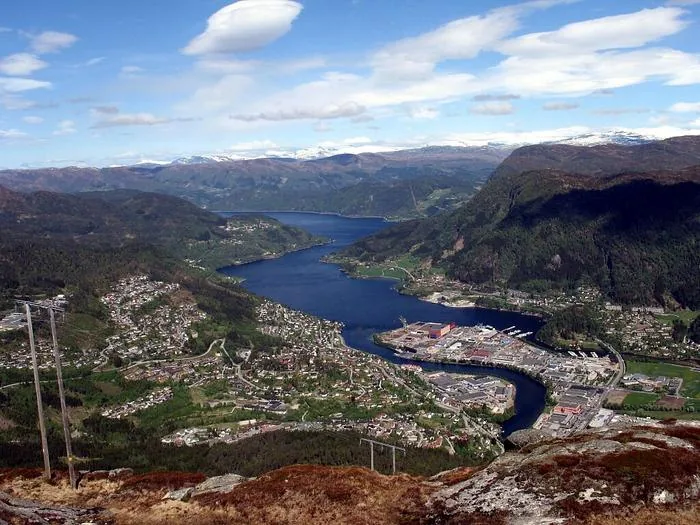
Explore nearby
Notable places around
Route planner — Car & Motorhome
Where do you start? We build the route here, with stops and country notes along the way.
© OpenStreetMap contributors · OpenRouteService
Frequently asked questions
What is Jostedalsbreen?
Which glacier arm is the most easily accessible?
Can you hike on the glacier?
Is there a museum about the glacier?
Is the glacier melting?
Jostedalsbreen: where is it located?
Jostedalsbreen: what is there to see?
Jostedalsbreen: when is the best time to visit?
Jostedalsbreen: why is it worth visiting?

Nearby cities

History & landmarks