Plizio Visual Lab
Breheimen

Weather…
Water temperature…
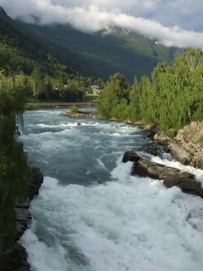
Breheimen National Park, which translates to 'Home of the Glaciers,' was established in 2009 and spans Vestland and Innlandet counties. Covering 1,671 square kilometers, the park is defined by its extreme landscape contrasts, ranging from fertile, green valleys to the ice-capped summits near Jotunheimen. The park features massive plateau glaciers such as Harbardsbreen and Spørteggbreen, which play a central role in the regional climate and topography. Geologically, the area is composed of a complex mosaic of gneiss and other metamorphic rocks sculpted by millennia of glacial erosion. Diverse flora and fauna inhabit the varying elevations, with rare alpine plant species thriving in the sheltered lower valleys. Historically, Breheimen served as a vital transit corridor for livestock movement and trade between the Sognefjord and eastern mountain communities. Recent archaeological discoveries emerging from melting ice patches, including Iron Age clothing and hunting gear, confirm ancient human activity in the high mountains. Today, the park gives some of Norway's most demanding hiking and ski touring experiences for those seeking solitude. Park authorities focus on scientific monitoring of glacier retreat as an indicator of global climate shifts.
- Location: Norway
- Nearby: Jostedalen (26 km)
Best time to visit & climate
The most pleasant time to visit is Jun–Aug.
| Jan | Feb | Mar | Apr | May | Jun | Jul | Aug | Sep | Oct | Nov | Dec | |
|---|---|---|---|---|---|---|---|---|---|---|---|---|
| Avg °C | -9 | -9 | -7 | -4 | -1 | 3 | 8 | 8 | 4 | -2 | -6 | -8 |
| Rain mm | 244 | 189 | 196 | 145 | 133 | 145 | 177 | 196 | 232 | 203 | 236 | 264 |
📋 Practical info
Geography
Facts
- The name Breheimen translates to 'Home of the Glaciers'.
- The national park was officially established in 2009.
- The total area of the park covers approximately 1,671 km².
- The highest point is the summit of Heksetinden at 2,013 meters.
- Ice patch archaeological finds here date back as far as 300 AD.
- Harbardsbreen is one of the largest plateau glaciers in the park.
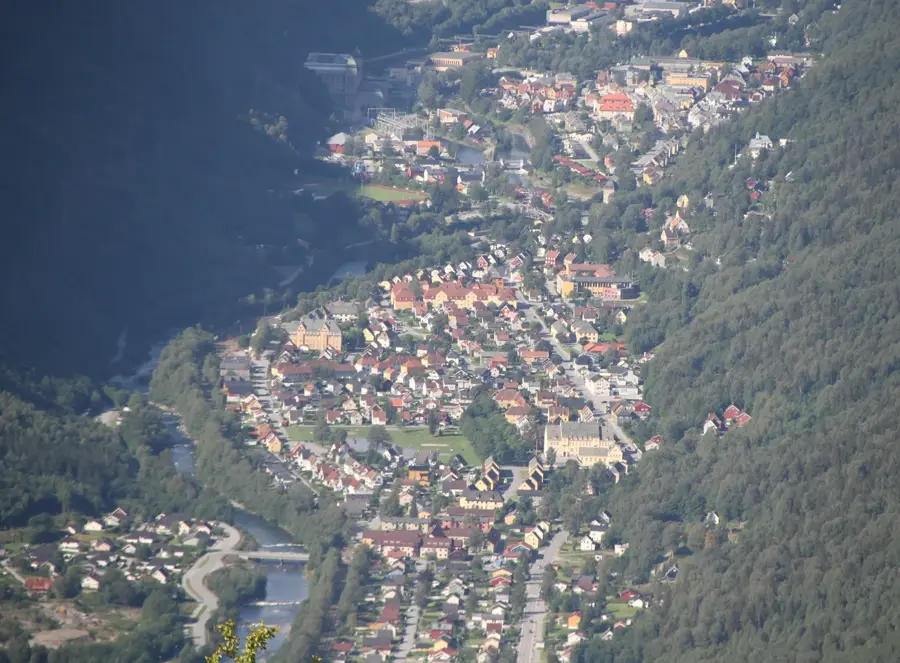
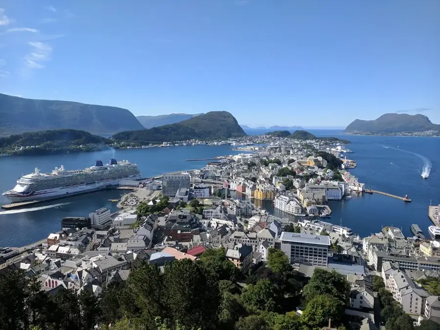
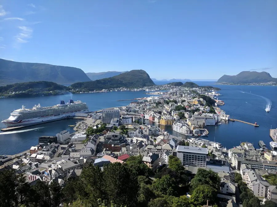
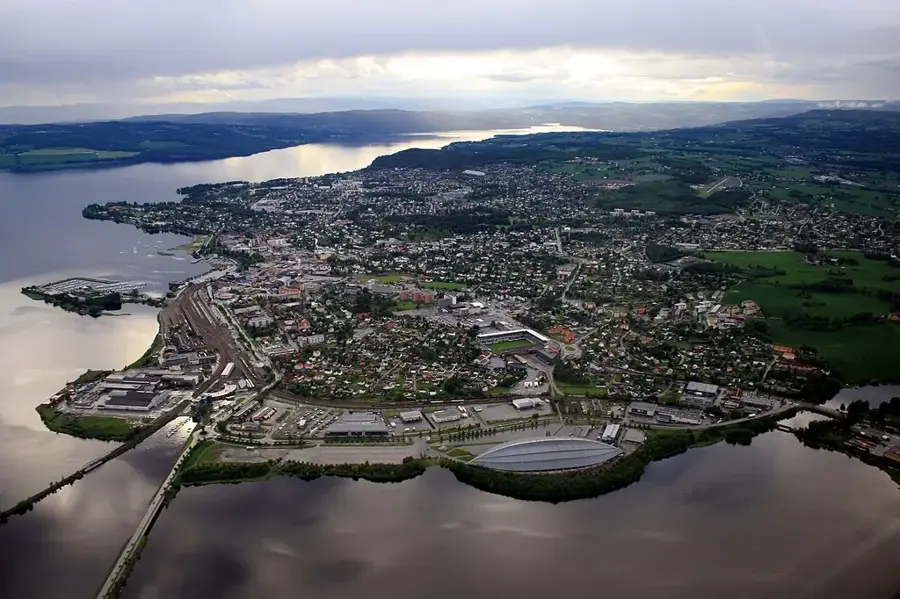
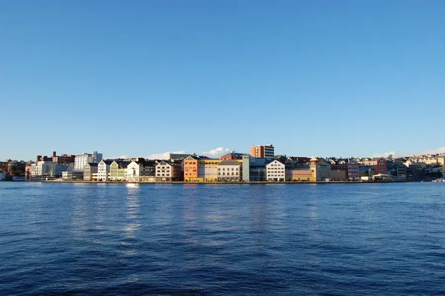
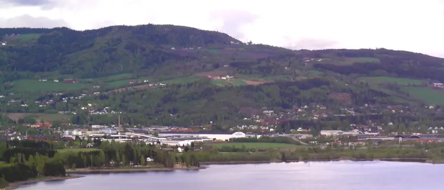
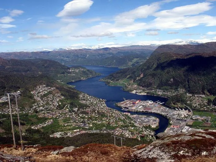
Explore nearby
Notable places around
Route planner — Car & Motorhome
Where do you start? We build the route here, with stops and country notes along the way.
© OpenStreetMap contributors · OpenRouteService
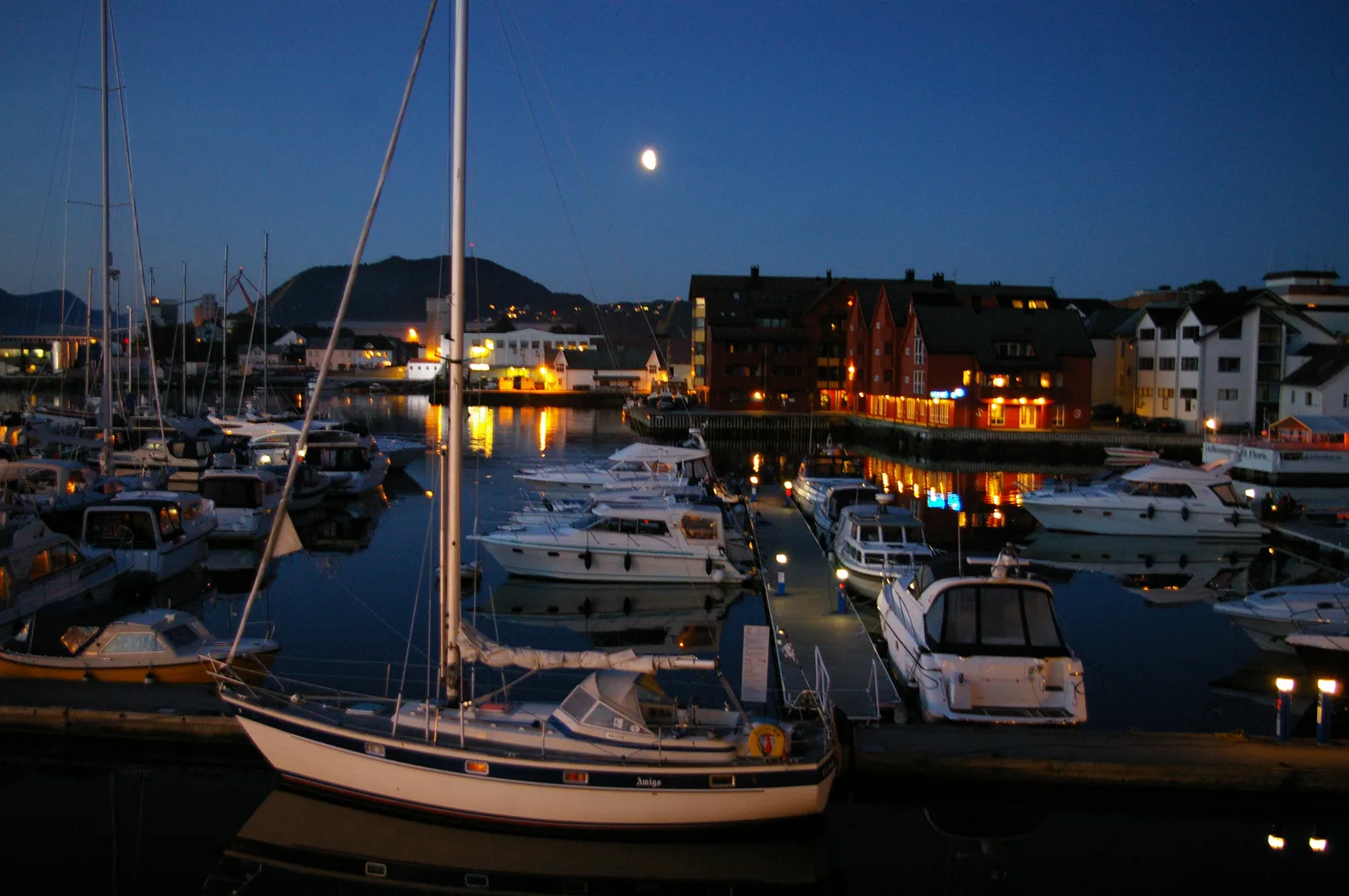
Sights in the town Breheimen (1)
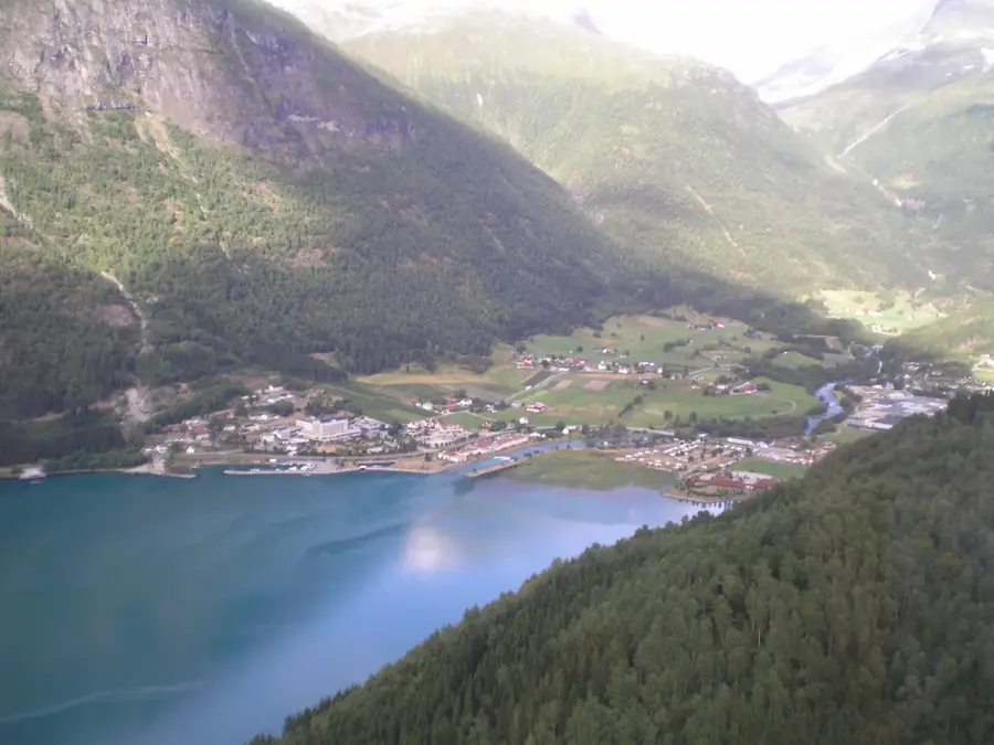
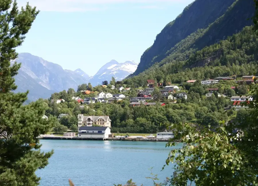
Sights nearby
Frequently asked questions
Why is the park called Breheimen?
What contrasts does the landscape offer?
Are there marked summer trails?
Can you ski in the park?
What famous places are nearby?
Breheimen: where is it located?
Breheimen: when is the best time to visit?
Breheimen: why is it worth visiting?

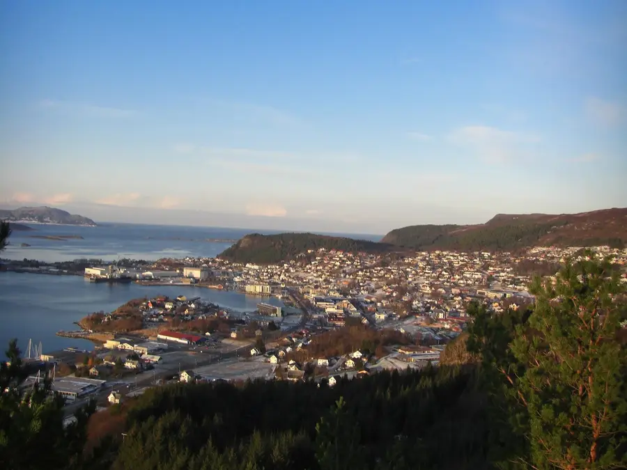
Nearby cities

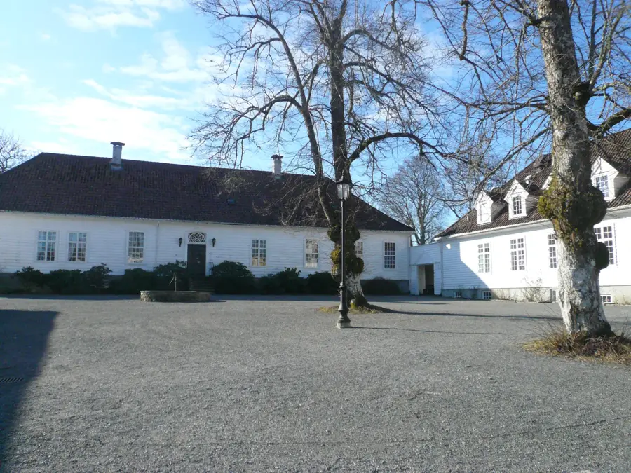
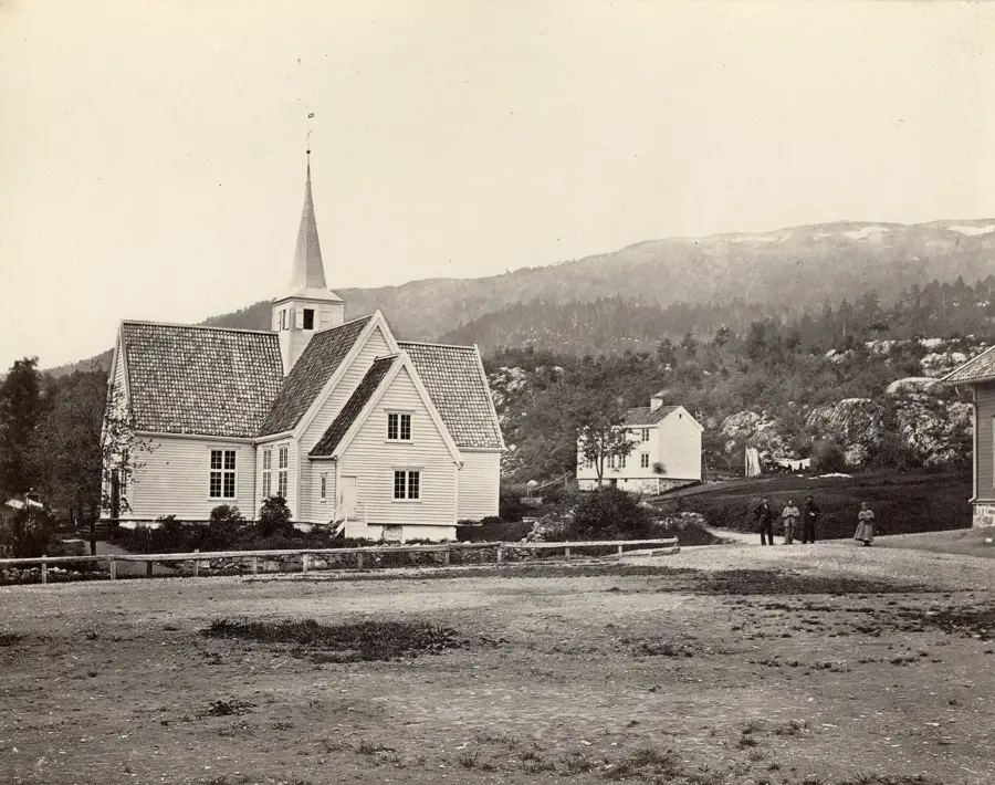

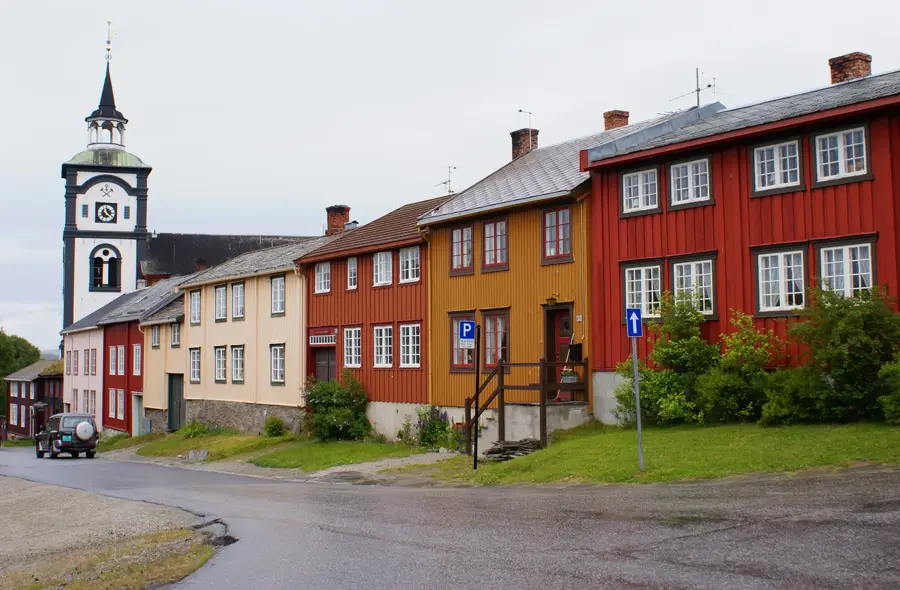
History & landmarks