Plizio Visual Lab
Skåla
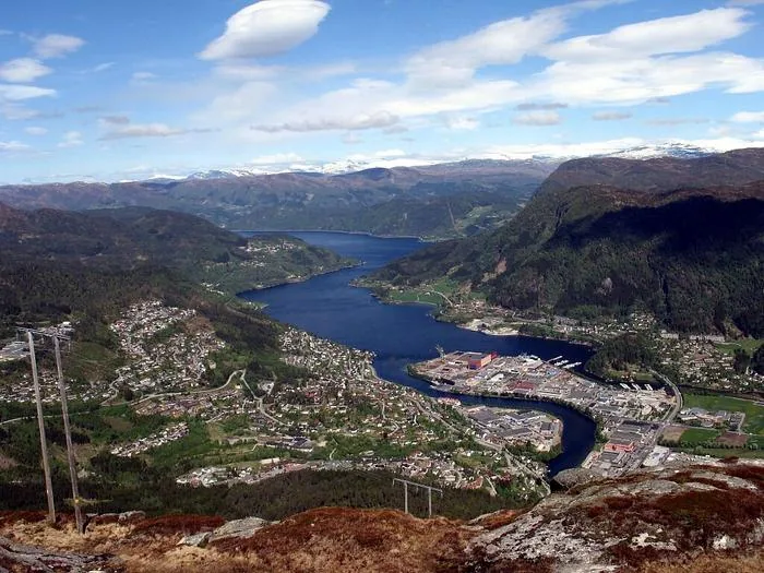
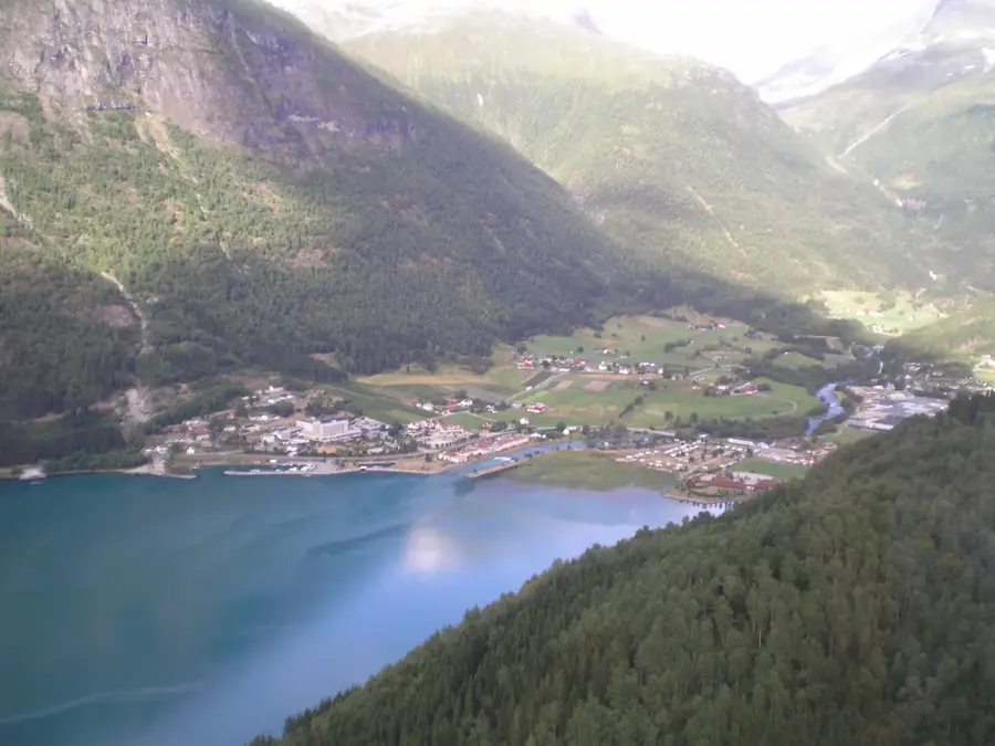
Skåla is a prominent mountain peak in Stryn municipality, Vestland, reaching an altitude of 1,848 meters above sea level. It is famous for hosting Norway's longest continuous uphill climb, as the trail starts at sea level in Loen and ascends nearly 1,850 meters to the summit without a single downward section. At the peak stands the iconic Skålatårnet (Skåla Tower), a circular stone tower completed in 1891 by Dr. Hans Henrik Gerhard Klouman. Originally, the tower was intended to serve as a sanatorium for tuberculosis patients, following the contemporary belief that thin alpine air was a cure for the disease. Today, the tower is operated by the Norwegian Trekking Association (DNT) as a self-service cabin, providing a unique lodging experience for adventurous hikers. Climbing Skåla requires significant stamina, but rewards visitors with panoramic views of the Jostedalsbreen glacier and the Nordfjord.
- Location: Norway
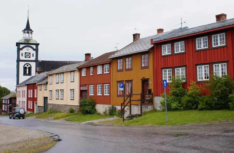
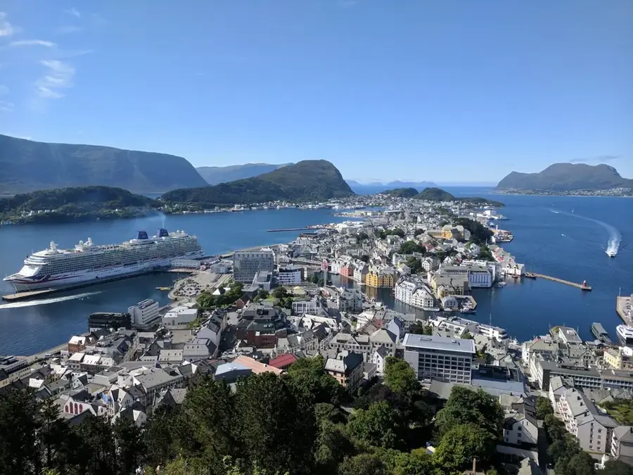
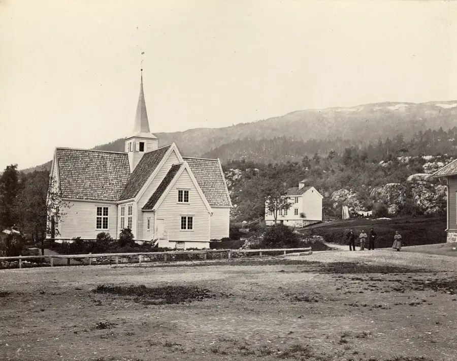
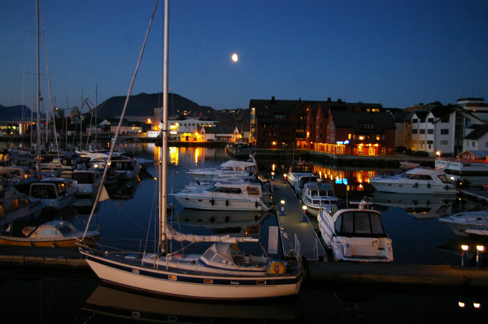
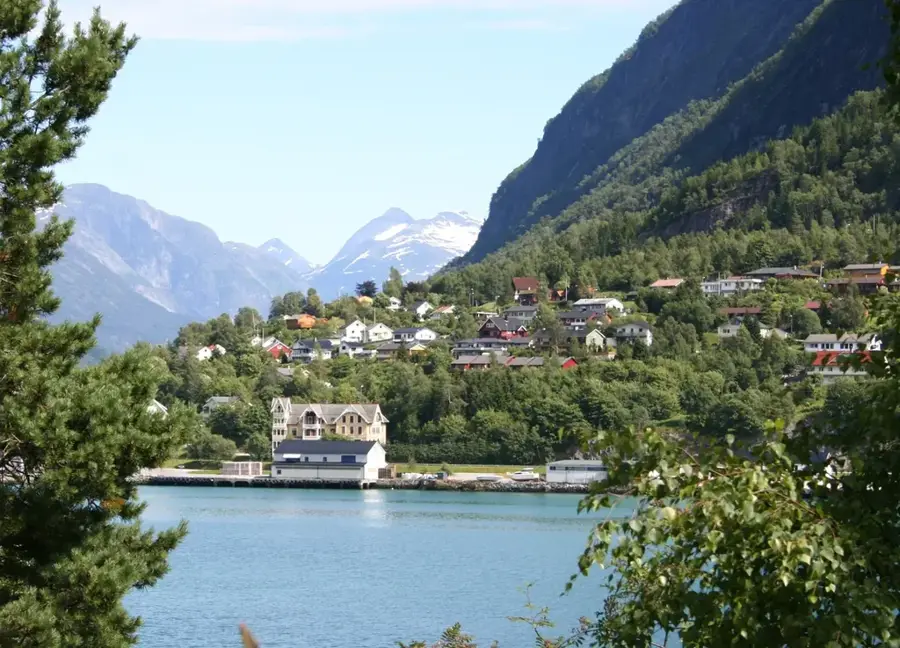
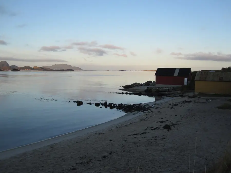
- Top sights: Huaren · Loen Skylift · Loen kyrkje
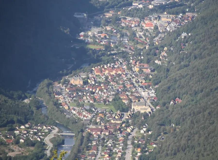
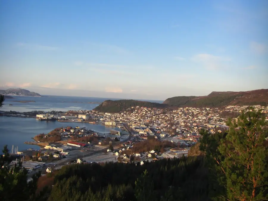
- Nearby: Stryn (7 km)
Best time to visit & climate
The most pleasant time to visit is Jun–Aug.
| Jan | Feb | Mar | Apr | May | Jun | Jul | Aug | Sep | Oct | Nov | Dec | |
|---|---|---|---|---|---|---|---|---|---|---|---|---|
| Avg °C | -7 | -7 | -5 | -1 | 3 | 7 | 11 | 10 | 6 | 1 | -4 | -6 |
| Rain mm | 232 | 185 | 185 | 134 | 130 | 145 | 165 | 185 | 224 | 189 | 221 | 253 |
📋 Practical info
Geography
Facts
- Summit elevation of 1,848 meters above sea level
- Boasts Norway's longest continuous vertical climb
- Skåla Tower was built and opened in 1891
- Used in the 19th century as a TB sanatorium
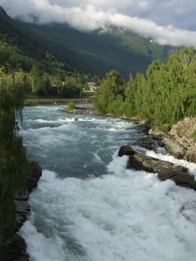
- The ascent begins from the Nordfjord in Loen
- Managed as a trekking cabin by the DNT association
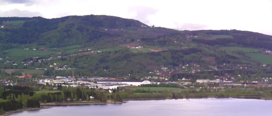
Explore nearby
Notable places around
Route planner — Car & Motorhome
Where do you start? We build the route here, with stops and country notes along the way.
© OpenStreetMap contributors · OpenRouteService
Sights in the town Skåla (4)
Sights nearby
Frequently asked questions
What is special about the Skåla summit?
How difficult is the hike up?
Can you stay overnight in the tower?
Where does the trail to Skåla start?
When was the tower built?
Skåla: where is it located?
Skåla: what is there to see?
Skåla: when is the best time to visit?
Skåla: why is it worth visiting?

Nearby cities


History & landmarks