Plizio Visual Lab
Bardufoss
ℹ️Practical info — Bardufoss
▾
🌤 Weather — 5 days
📍 Nearby
Sights nearby
💡 Tips
- Inland Troms is drier and colder than the coast, making it an excellent base for Northern Lights hunting.
- Renting a car is highly recommended to explore the surrounding valleys and waterfalls.
- The town has a strong military presence; always respect restricted areas and no-photography zones.
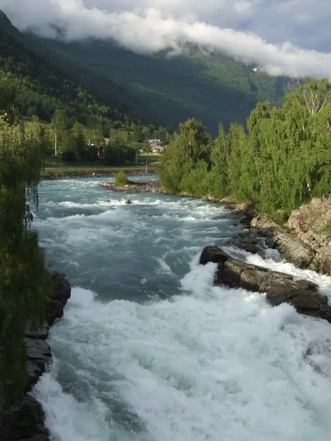
- Visit the impressive Målselvfossen in summer to watch wild salmon navigating the fish ladder.
🍽 Food
Sample fresh local salmon at eateries near the river valleys during the summer fishing season.
A classic Norwegian comfort snack, easily found at local cafes and bakeries.
Look for local roadside diners (kro) for hearty, generous portions of meat stews.
🛍 Shopping · 🧘 Quiet spots
The main area for practical shopping, including outdoor gear for Arctic conditions.
Keep an eye out for farm shops selling local cheeses and meats in the surrounding valleys.
First-rate for a peaceful stroll along the water or fishing (ensure you have a permit).
Enjoy the extensive network of trails in the surrounding woods for quiet hiking or cross-country skiing.
Water temperature…
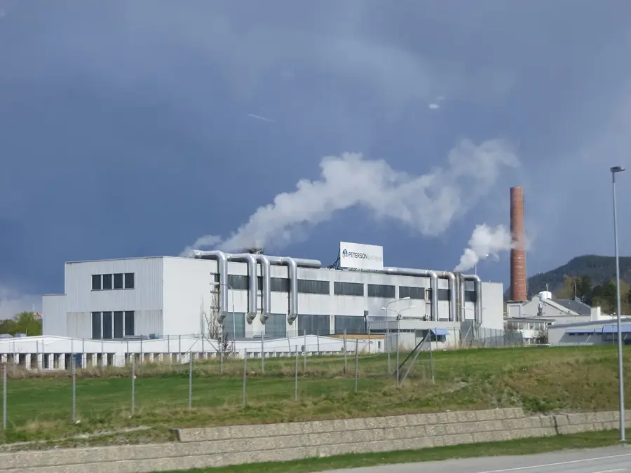
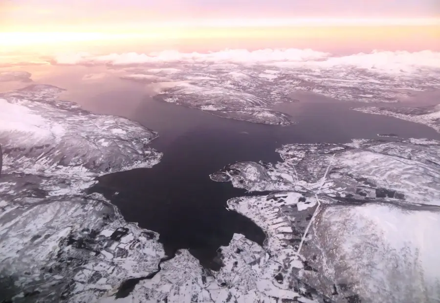
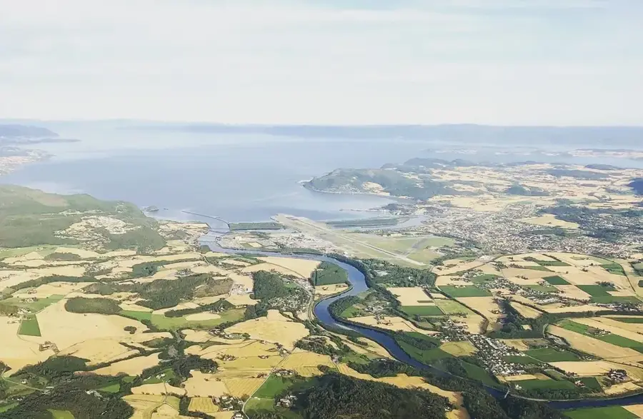
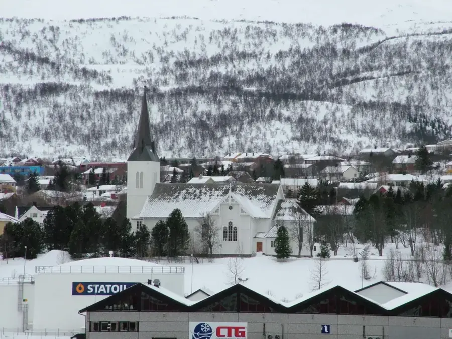
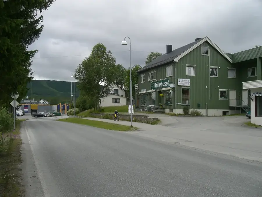
Bardufoss is a significant settlement in Målselv Municipality, Troms County, serving as a central military and logistics hub for Northern Norway. The community developed primarily around the airfield opened in 1938, which today operates both military and civilian flights. Geographically located inland at the confluence of the Målselva and Barduelva rivers, it experiences a continental climate with cold winters and relatively warm summers. The area is famous for Målselvfossen, Norway's national waterfall, which is a major site for salmon fishing and tourism. The economy is heavily influenced by the presence of the Norwegian Armed Forces, who maintain extensive training facilities and helicopter wings in the area. Beyond the military, forestry and mountain tourism in the surrounding landscapes contribute to the local economy. Bardufoss acts as a key gateway to the interior of Troms, providing essential infrastructure for the regional population.
- Location: Norway
- Top sights: Fossmotunet · Heggelia kapell · Polarbadet
- Nearby: Djupvåg (21 km)
- Population: ~741
Best time to visit & climate
The most pleasant time to visit is Jun–Aug.
| Jan | Feb | Mar | Apr | May | Jun | Jul | Aug | Sep | Oct | Nov | Dec | |
|---|---|---|---|---|---|---|---|---|---|---|---|---|
| Avg °C | -10 | -10 | -7 | -3 | 2 | 7 | 12 | 10 | 5 | -1 | -6 | -8 |
| Rain mm | 102 | 105 | 113 | 87 | 90 | 112 | 129 | 119 | 127 | 114 | 104 | 117 |
Geography
Facts
- Bardufoss Airport was established in 1938
- Målselvfossen is designated as Norway's national waterfall
- Headquarters of the 139 Air Wing is located here
- Continental climate with record highs exceeding 30 degrees Celsius
- The region is a primary destination for salmon migration
- Bardufoss is situated within Målselv Municipality
Explore nearby
Notable places around
Route planner — Car & Motorhome
Where do you start? We build the route here, with stops and country notes along the way.
© OpenStreetMap contributors · OpenRouteService
Sights in the town Bardufoss (3)
Frequently asked questions
What is Målselvfossen?
Is there an airport in Bardufoss?
What can you do in Bardufoss in winter?
How close is Polar Park?
Are there hotels in Bardufoss?
Bardufoss: where is it located?
Bardufoss: what is there to see?
Bardufoss: when is the best time to visit?
Bardufoss: why is it worth visiting?

Nearby cities