Plizio Visual Lab
Senja
ℹ️Practical info — Senja
▾
🌤 Weather — 5 days
📍 Nearby
Sights nearby
💡 Tips
- Drive the National Scenic Route on the western coast to see the most dramatic fjords and viewing platforms.
- The hike to Mount Segla is extremely popular; start early in the morning to avoid crowds and secure parking.
- Groceries are scattered on the outer coast; stock up in larger towns like Finnsnes before crossing the bridge.
- In winter, check road conditions constantly, as mountain passes may close briefly due to storms.
🍽 Food
Try it at a traditional tavern along the scenic route.
Best in winter and spring at the restaurants in fishing villages like Husøy.
Look for this traditional dessert in local cafes during late summer.
🛍 Shopping · 🧘 Quiet spots
A first-rate souvenir available in select local cafes and shops.
Authentic Norwegian wool sweaters sold at the tourist center or craft shops.
A beautiful white sand beach backed by dramatic peaks.
Inland pine forests offering peaceful, flat hiking trails away from the coastal winds.
Water temperature…
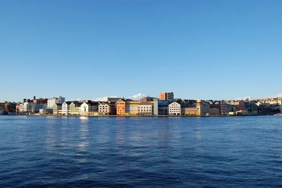
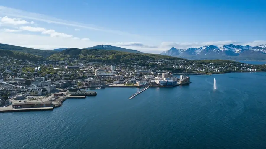
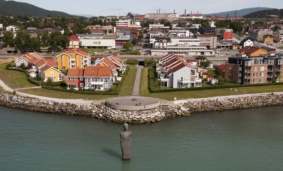
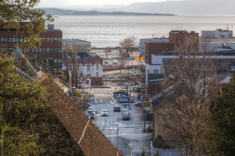
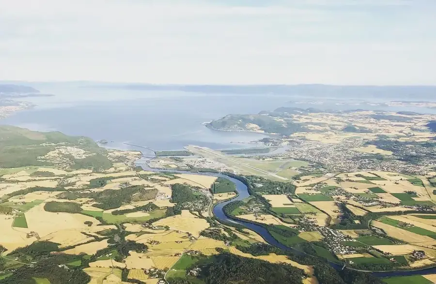
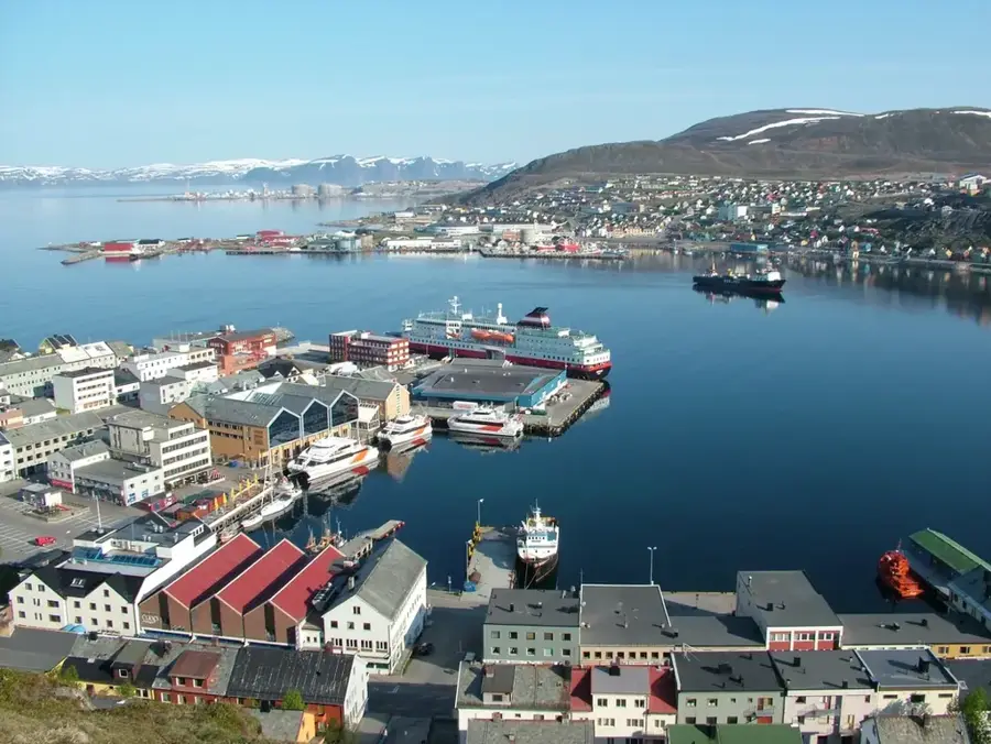
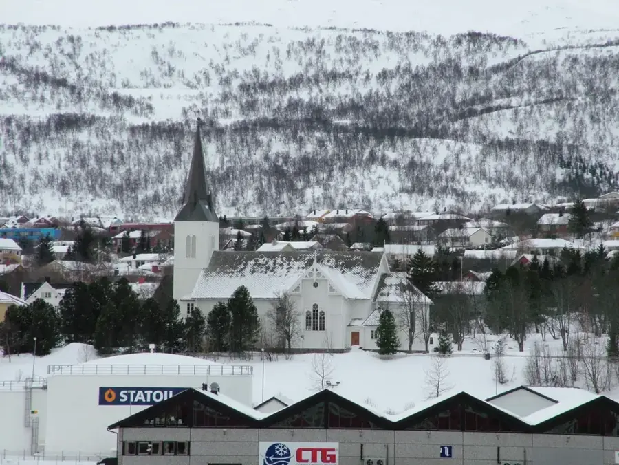
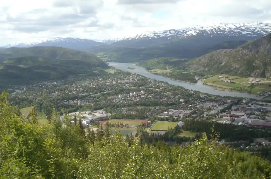
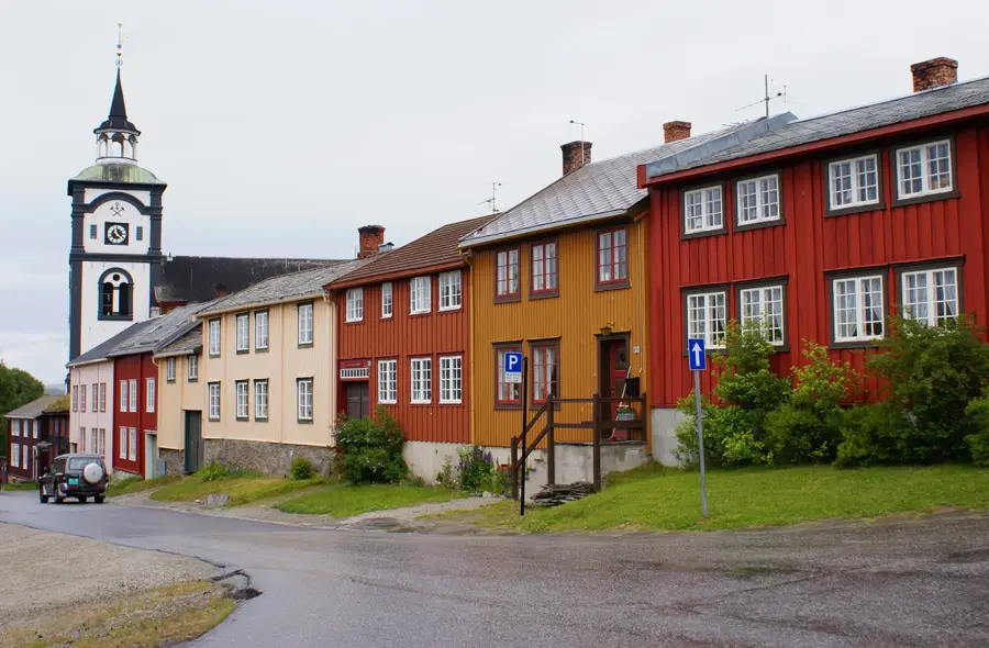
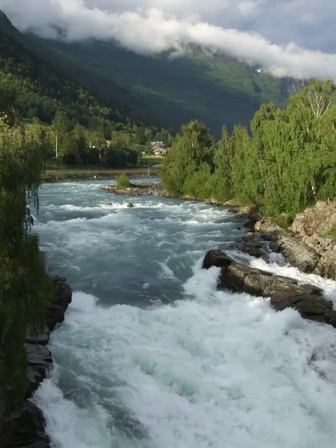
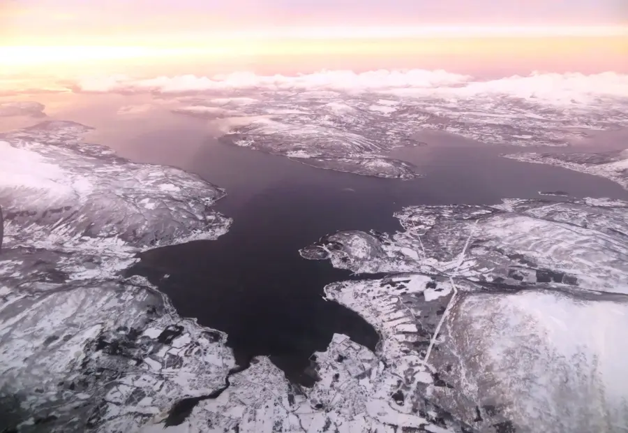
Senja, located in Troms County, is celebrated for encompassing all of Norway's natural features within one island. The outer coast is famous for its jagged peaks plunging into the Atlantic, with the Segla mountain serving as the ultimate hiker's trophy. The National Tourist Route Senja leads visitors through dramatic tunnels and along fjord edges, stopping at the Tungeneset walkway to view the 'Devils Teeth' rock formation. In contrast, the island's interior features the lush pine forests and marshes of Ånderdalen National Park. Senja is a prime destination for Northern Lights hunting in winter and sea kayaking in summer. The island is connected to the mainland by the Gisund Bridge at Finnsnes, making it easily accessible for road trips. Pleasant villages like Mefjordvær offer a glimpse into the traditional Arctic lifestyle.
- Location: Norway
- Nearby: Gryllefjorden (18 km)
- Population: ~14.942 (2026)
Best time to visit & climate
The most pleasant time to visit is Jun–Aug.
| Jan | Feb | Mar | Apr | May | Jun | Jul | Aug | Sep | Oct | Nov | Dec | |
|---|---|---|---|---|---|---|---|---|---|---|---|---|
| Avg °C | -2 | -2 | -1 | 2 | 5 | 8 | 12 | 11 | 9 | 4 | 1 | -1 |
| Rain mm | 104 | 101 | 112 | 83 | 80 | 87 | 90 | 97 | 126 | 119 | 116 | 125 |
Geography
Facts
- Norway's second largest island
- Iconic Segla mountain (639m)
- Okshornan 'Devils Teeth' rocks
- Ånderdalen National Park
- National Tourist Route Senja
- Gisund Bridge connection
- Picturesque Husøy village
- Prime Northern Lights destination
Explore nearby
Notable places around
Route planner — Car & Motorhome
Where do you start? We build the route here, with stops and country notes along the way.
© OpenStreetMap contributors · OpenRouteService
Sights in the town Senja (1)
Frequently asked questions
What is the most famous hike on Senja?
How do you reach Senja from the mainland?
What is the 'National Tourist Route Senja'?
Can you see Northern Lights on Senja?
What is the Senjatrollet?
Senja: where is it located?
Senja: when is the best time to visit?
Senja: why is it worth visiting?

Nearby cities