Plizio Visual Lab
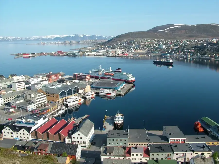
Hammerfest
ℹ️Practical info — Hammerfest
▾
🌤 Weather — 5 days
📍 Nearby
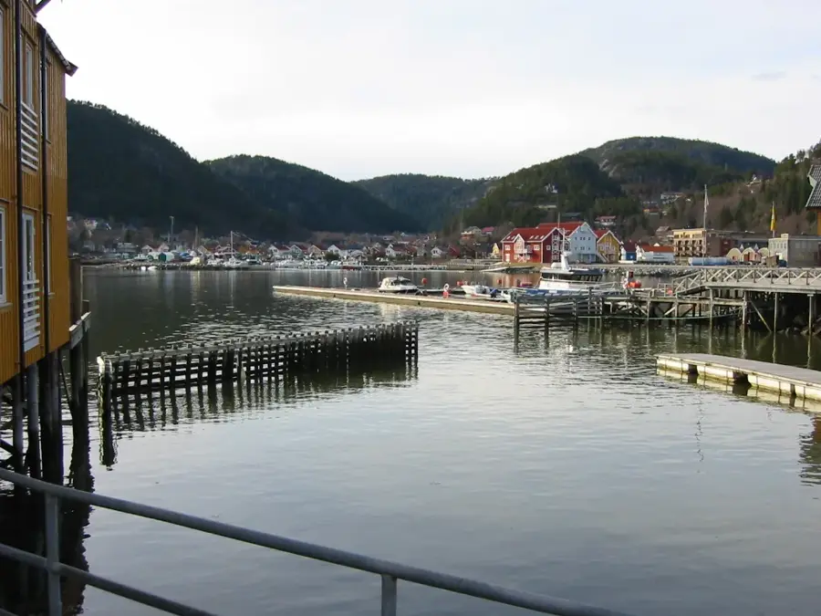
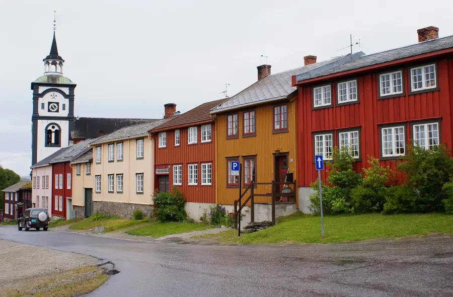
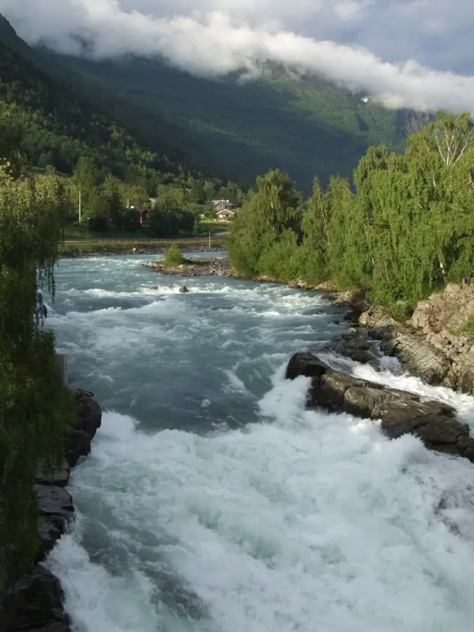
Sights nearby
💡 Tips
- Join the Royal and Ancient Polar Bear Society (you must visit in person to become a member).
- Walk the Zigzag path to Mount Salen for panoramic views of the city and sea.
- Beware of free-roaming reindeer in the streets during summer - drive carefully!
- The weather changes rapidly; always dress in layers, even in July.
🍽 Food
Look for restaurants along the harbor serving the fresh daily catch.
Try this traditional Sami reindeer stew at local taverns in the town center.
Norway's national cake, often available by the slice in local bakeries.
🛍 Shopping · 🧘 Quiet spots
Great for exclusive pins, certificates, and Arctic souvenirs.
Browse for high-quality woolen sweaters and outdoor gear.
Accessible via a short hike, it is a great and quiet spot for midnight sun viewing.
Site of the Struve Geodetic Arc monument, offering a peaceful coastal walk.
Water temperature…
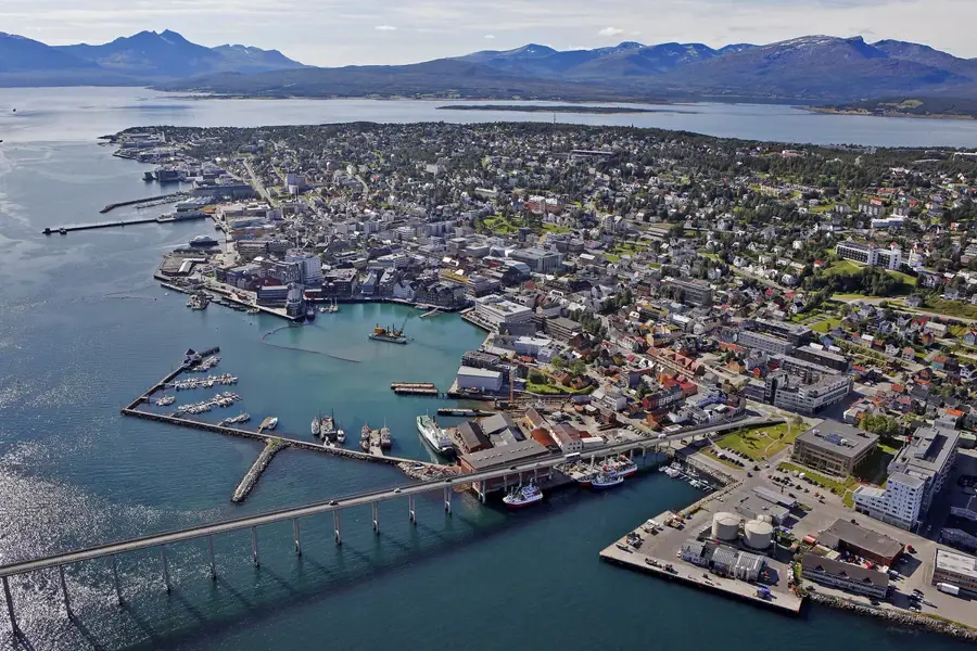
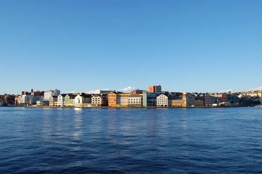
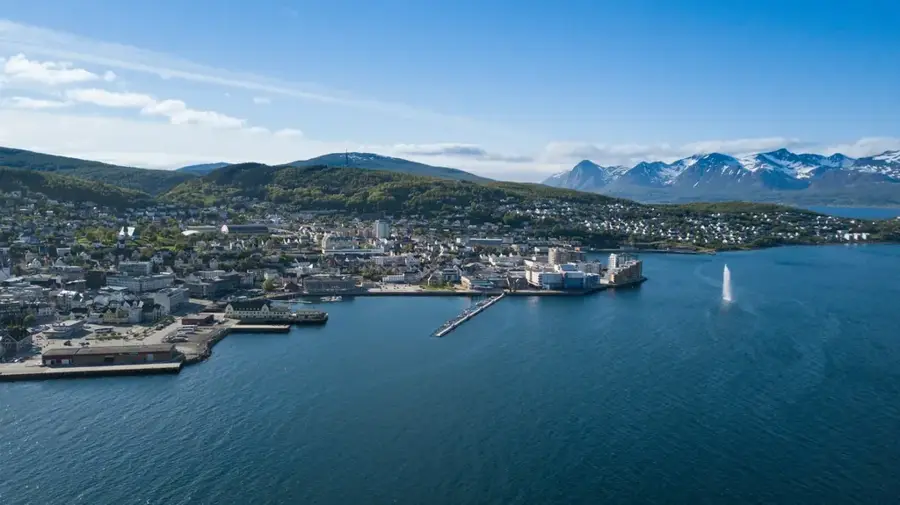
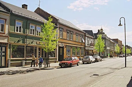
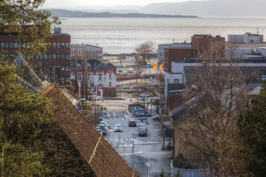
Hammerfest is recognized as one of the northernmost towns in the world, located on the island of Kvaløya in Finnmark County. Founded in 1789, the town has a long history as a commercial hub and a base for polar exploration. A prominent landmark is the Meridian Column, which commemorates the 19th-century measurement of the Earth's radius as part of the Struve Geodetic Arc. During World War II, Hammerfest was almost entirely destroyed and subsequently rebuilt in the 1950s following modern urban planning principles. Today, the town is a major global player in the energy sector, specifically through the liquefied natural gas (LNG) plant on the neighboring island of Melkøya. The Arctic climate and coastal setting define the maritime economy and tourism, which thrives on cruise ship arrivals. Despite its extreme northern latitude, the harbor remains ice-free year-round thanks to the Gulf Stream, making it a vital year-round logistics center.
- Location: Norway
- Top sights: Vestfjelldammen · Rundvannet · Kuskarvannene - Gámmejávrrit
- Nearby: Transfarelv - Gáidoš - Kaitusjoki (76 km)
- Population: ~11.448
Best time to visit & climate
The most pleasant time to visit is Jun–Aug.
| Jan | Feb | Mar | Apr | May | Jun | Jul | Aug | Sep | Oct | Nov | Dec | |
|---|---|---|---|---|---|---|---|---|---|---|---|---|
| Avg °C | -6 | -6 | -4 | -1 | 3 | 7 | 11 | 10 | 7 | 2 | -2 | -4 |
| Rain mm | 69 | 65 | 83 | 63 | 79 | 95 | 100 | 93 | 86 | 92 | 78 | 84 |
Geography
Facts
- Founded as a town in 1789
- First town in Northern Europe with electric street lighting (1891)
- Site of the UNESCO Struve Geodetic Arc (Meridian Column)
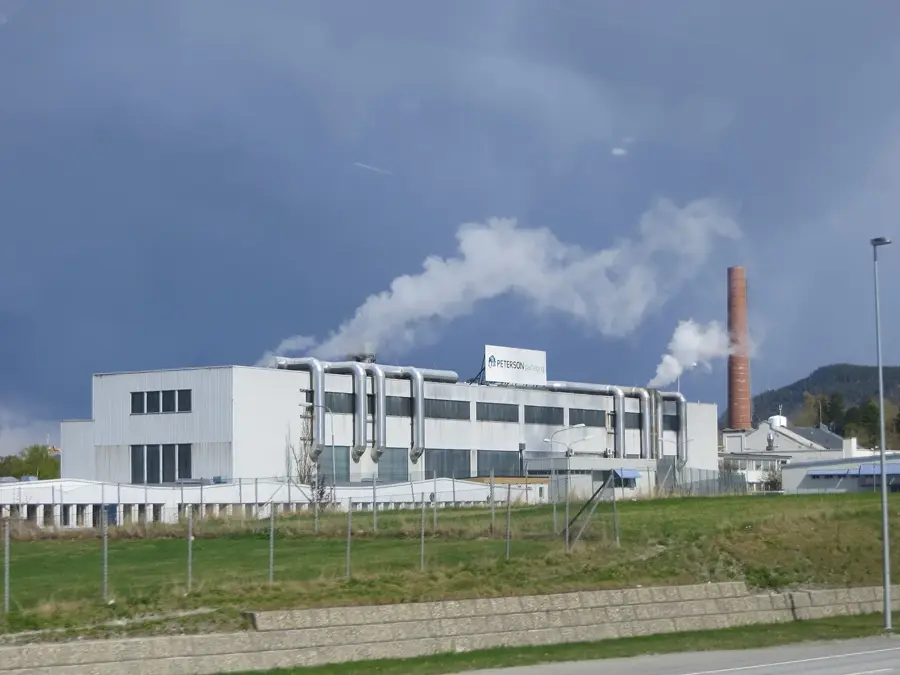
- The Melkøya LNG plant processes gas from the Snøhvit field
- Hammerfest was razed by the German army in 1944
- The harbor remains ice-free throughout the entire year
Explore nearby
Notable places around
Route planner — Car & Motorhome
Where do you start? We build the route here, with stops and country notes along the way.
© OpenStreetMap contributors · OpenRouteService
Sights in the town Hammerfest (14)
Frequently asked questions
Is Hammerfest the northernmost city in the world?
What is the Struve Geodetic Arc?
What is the Polar Bear Society?
Are there reindeer in Hammerfest?
What is the weather like in Hammerfest?
Hammerfest: where is it located?
Hammerfest: what is there to see?
Hammerfest: when is the best time to visit?
Hammerfest: why is it worth visiting?

Nearby cities