Plizio Visual Lab
Wieringen Highlands
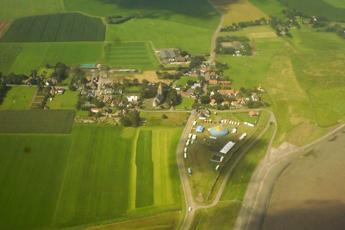
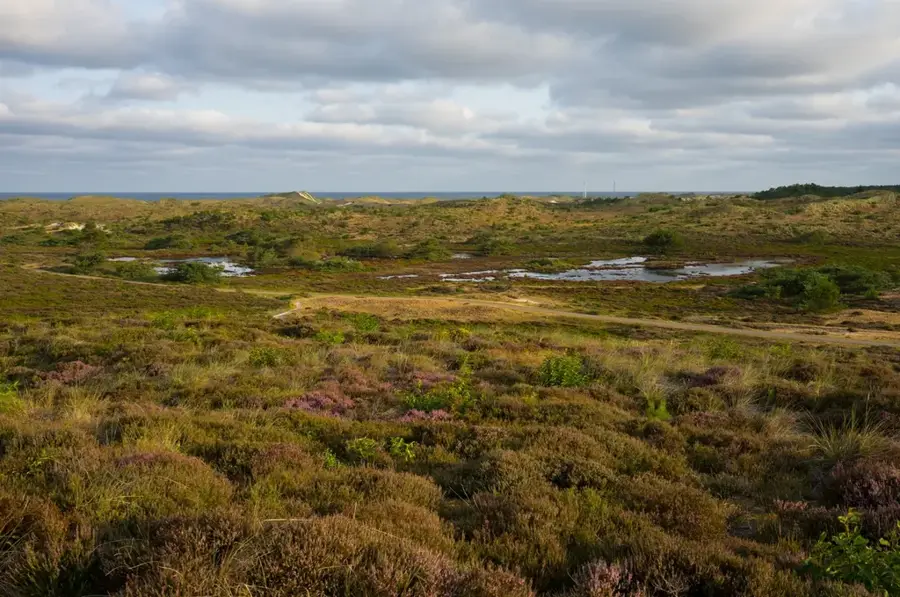
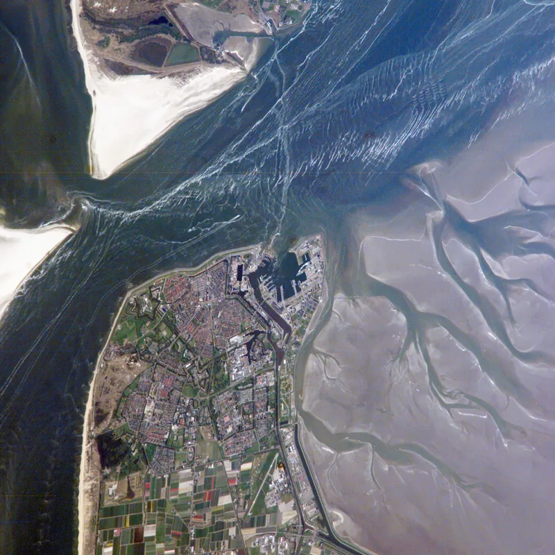
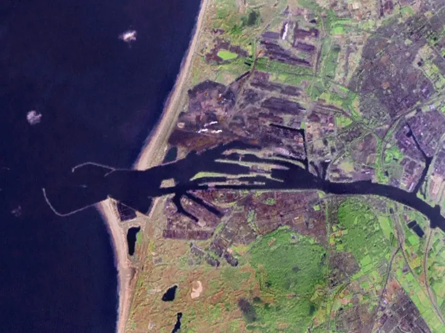
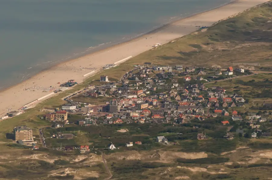
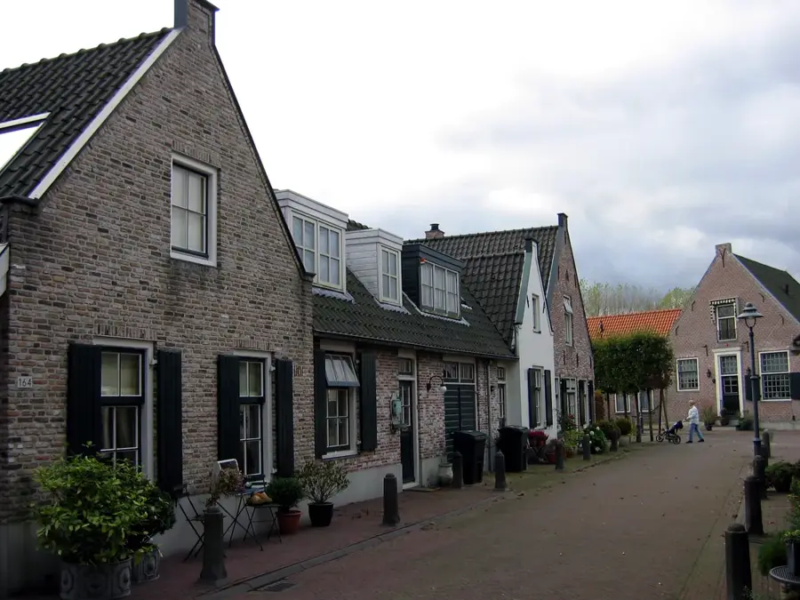
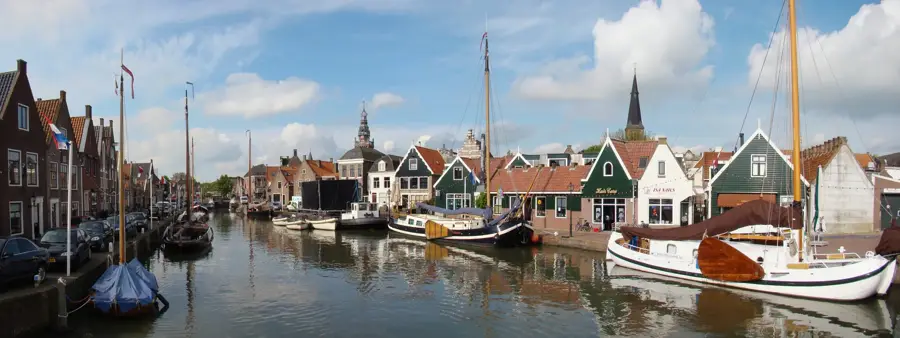
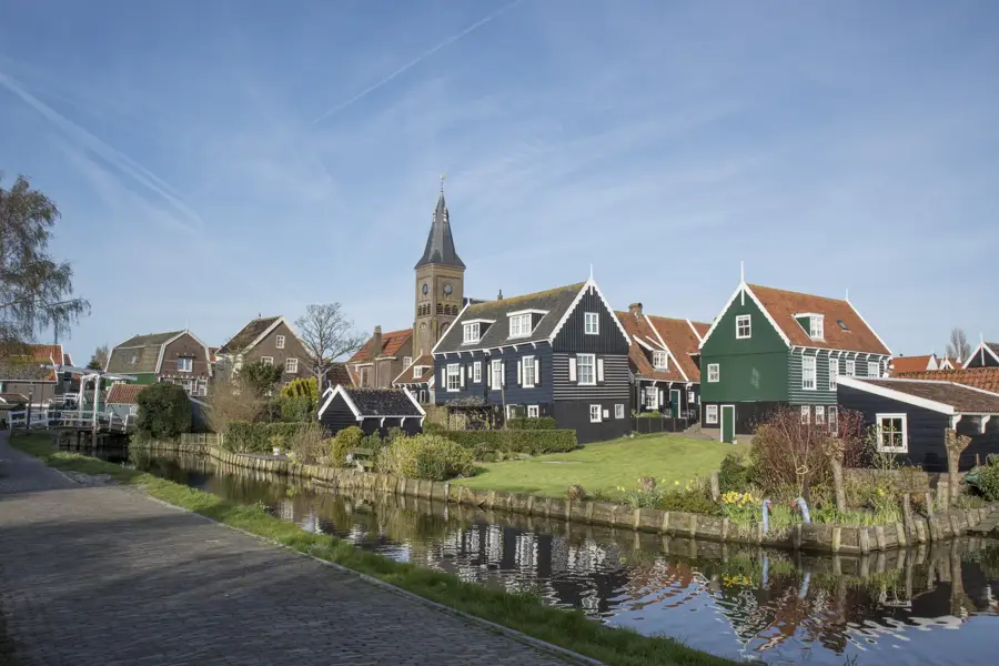
The Wieringen Highlands refer to the hilly landscape of the former island of Wieringen in the north of the province of North Holland. Geologically, it is a push moraine formed during the Saale glaciation about 150.000 years ago by advancing glaciers. This moraine consists of boulder clay, giving the area a significantly higher elevation than the surrounding polder landscape. Wieringen was an island until 1924 and was connected to the mainland by the construction of the Amsteldiepdijk. The landscape is characterized by gentle hills, historical farms, and medieval churches built on the highest points. The village church of Westerland is particularly prominent, offering a wide view over the Amstelmeer. Due to its isolated location, Wieringen has preserved its own unique cultural character, which is also reflected in the architecture of typical Wieringen farmhouses. Today, the area is a popular destination for cycling tourists who appreciate the combination of glacial geology and maritime history.
- Location: North Holland, Netherlands
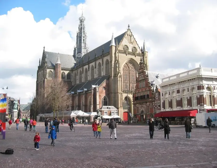
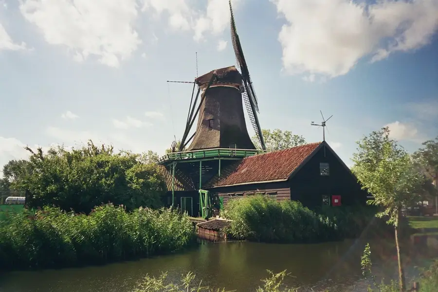
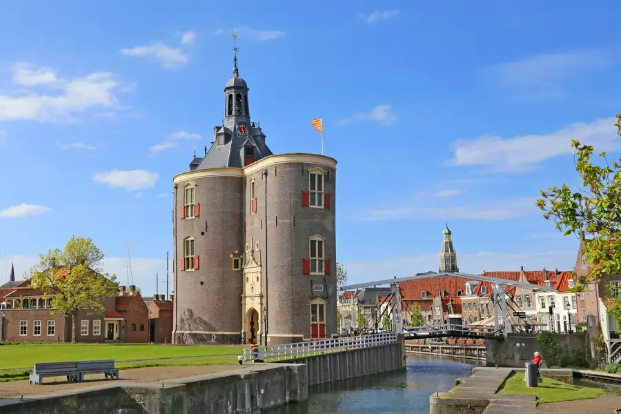
- Top sights: Hippolytuskerk · De Onderneming · Normerven - Vogelkijkscherm
- Nearby: Middenmeer (12 km)
Best time to visit & climate
The most pleasant time to visit is Jul–Sep.
| Jan | Feb | Mar | Apr | May | Jun | Jul | Aug | Sep | Oct | Nov | Dec | |
|---|---|---|---|---|---|---|---|---|---|---|---|---|
| Avg °C | 5 | 4 | 6 | 9 | 12 | 15 | 18 | 18 | 16 | 12 | 9 | 6 |
| Rain mm | 78 | 64 | 52 | 40 | 56 | 65 | 81 | 94 | 72 | 83 | 80 | 83 |
📋 Practical info
Geography
Facts
- Wieringen was formed about 150,000 years ago during the Saale glaciation.
- The Amsteldiepdijk connected Wieringen to the mainland in 1924.
- The highest point of Wieringen is about 13 meters above sea level.
- There was a significant Viking settlement on Wieringen in the 9th century.
- The moraine consists of a layer of impermeable boulder clay.
- Westerland is one of the few villages in North Holland located on an elevation.
Explore nearby
Notable places around
Route planner — Car & Motorhome
Where do you start? We build the route here, with stops and country notes along the way.
© OpenStreetMap contributors · OpenRouteService
Sights in the town Wieringen Highlands (4)
Sights nearby
Frequently asked questions
What is Wieringen?
Why is it called 'highlands'?
What can you see there?
Are there any museums?
Can you go cycling there?
Wieringen Highlands: where is it located?
Wieringen Highlands: what is there to see?
Wieringen Highlands: when is the best time to visit?
Wieringen Highlands: why is it worth visiting?

Nearby cities
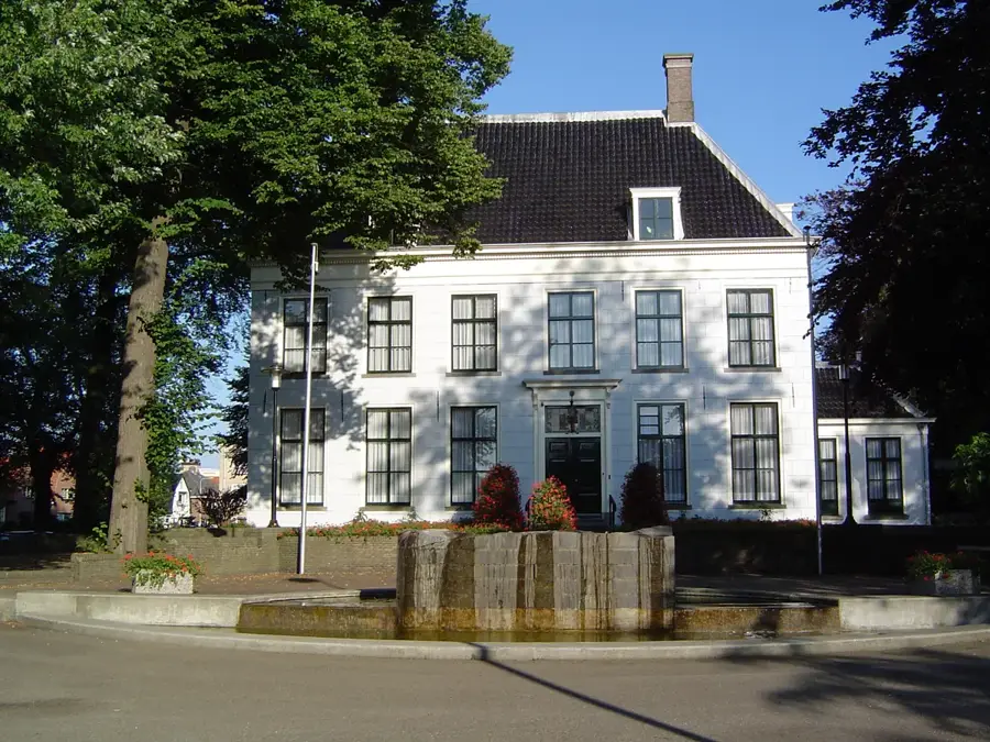
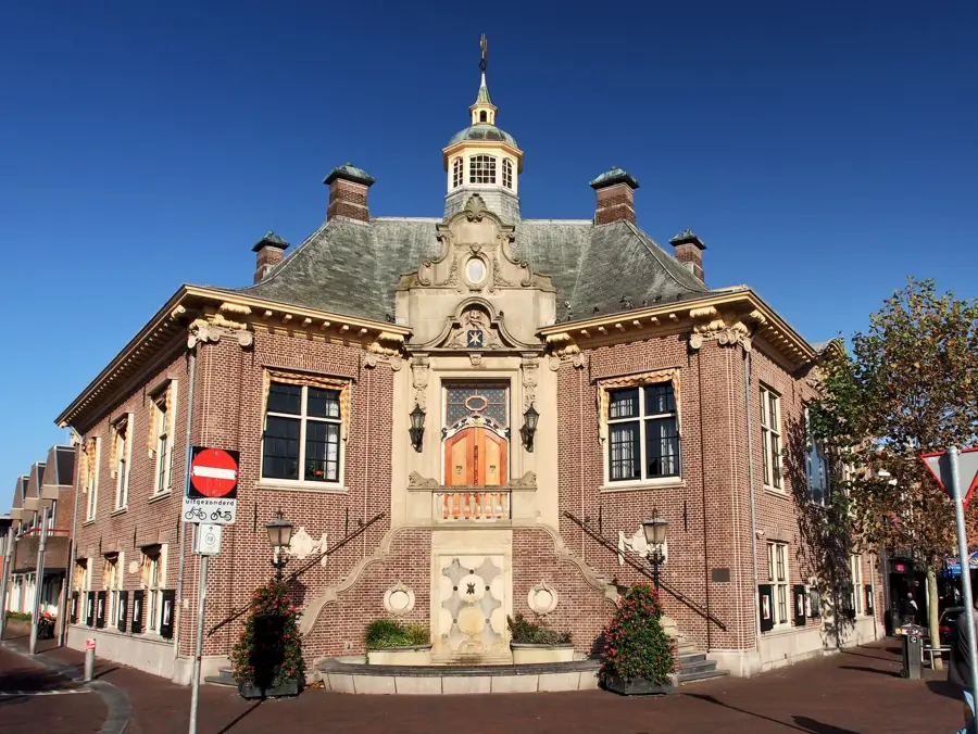
History & landmarks

More places