Plizio Visual Lab
Vlieberg
Weather…
Water temperature…
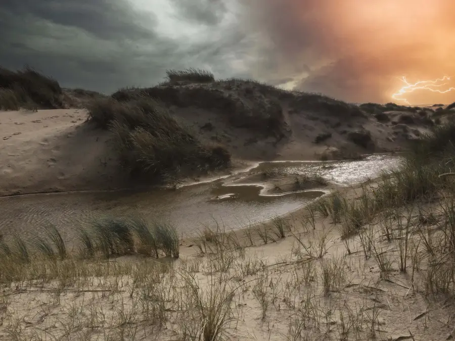
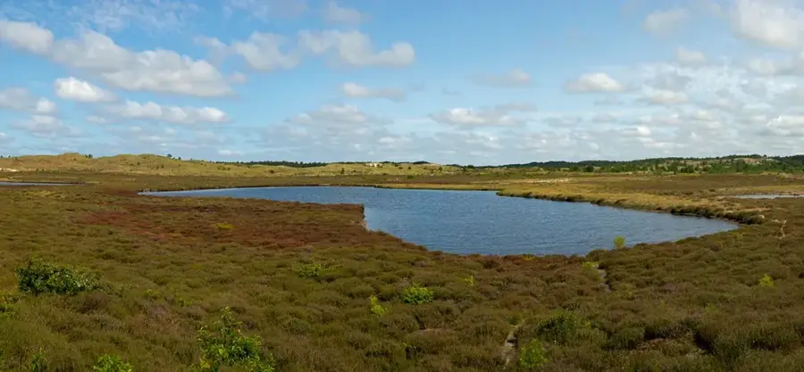
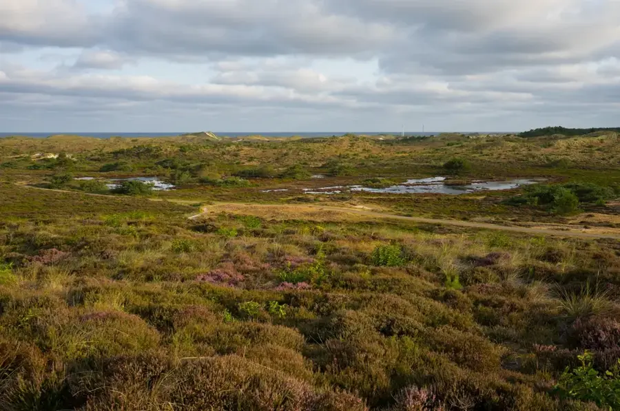
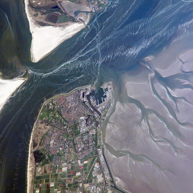
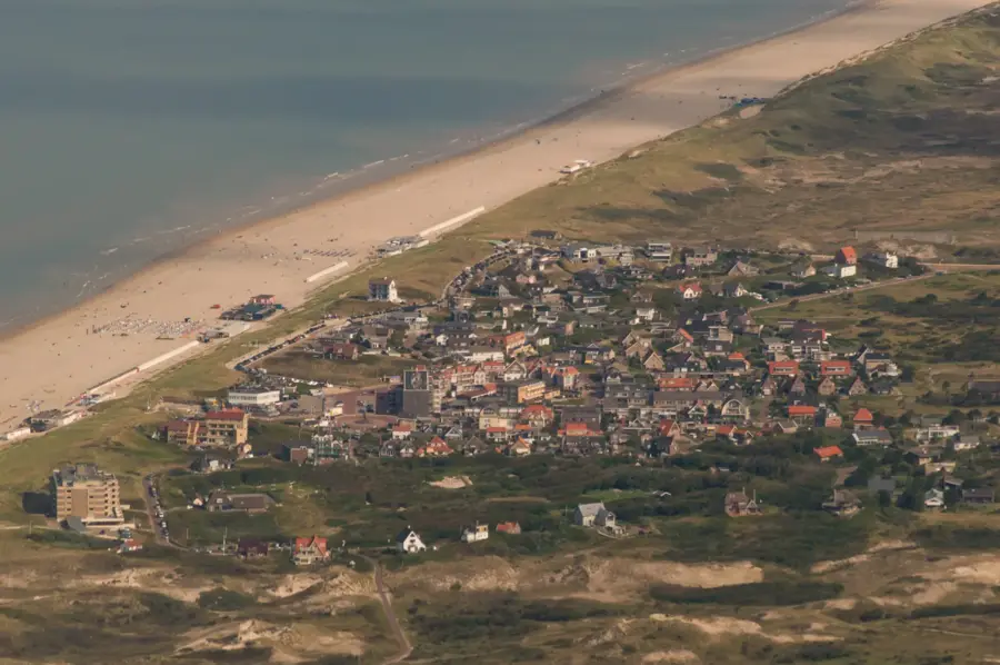
The Vlieberg is a prominent dune located within the Schoorlse Duinen on the coast of North Holland. This region is home to the highest and widest dune landscapes in the Netherlands, with the Vlieberg reaching a significant height of over 50 meters. The formation of these features dates back to the interaction of wind and tides in the post-glacial period, resulting in a dynamic and ecologically diverse environment. The hill is now largely forested, dominated by pines and birches planted in the early 20th century to stabilize the shifting sands. From the summit, one can enjoy expansive views over the North Sea and the inland polder landscapes. The area is a major destination for nature tourism, offering numerous hiking trails that traverse heathlands and dune slacks. Nature conservation efforts here focus on maintaining the migrating dunes and promoting biodiversity in the moist valleys between the sandy ridges.
- Location: North Holland, Netherlands
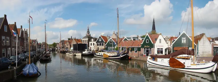
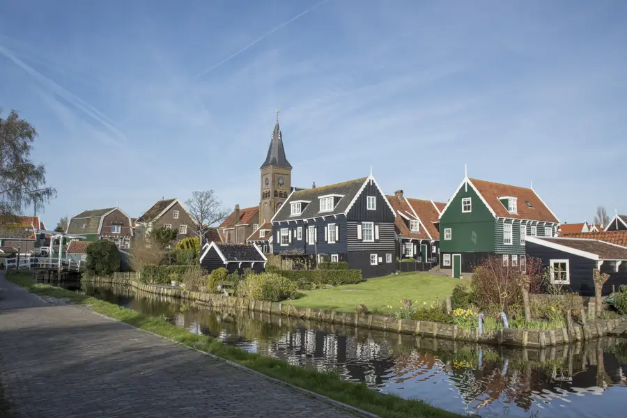
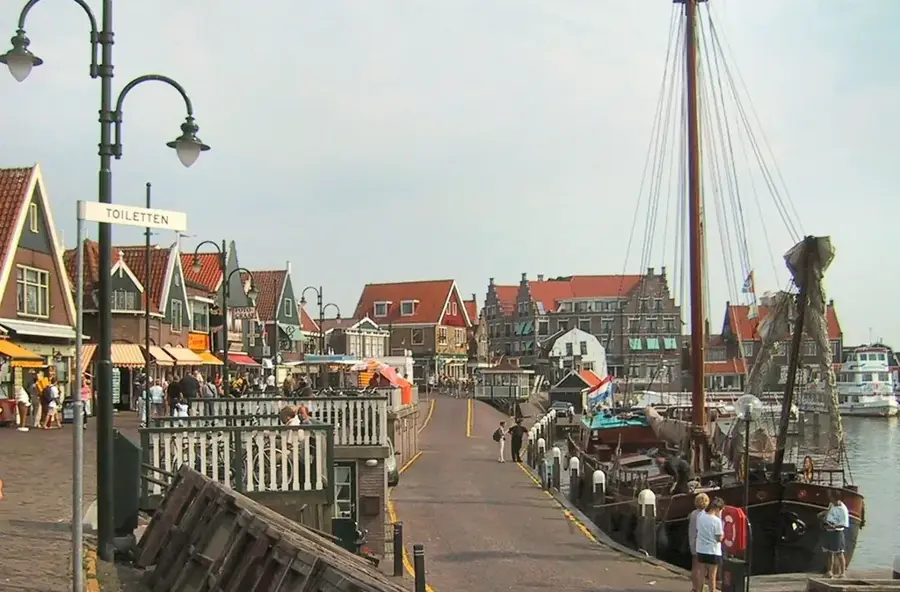
- Nearby: Vlieland (9 km)
📋 Practical info
Geography
Facts
- The Vlieberg stands over 50 meters high within the Schoorlse Duinen.
- The dunes here are part of the widest dune system in the entire Netherlands.
- Large sections of the hill were forested starting in 1900 to stabilize sand.
- The soil consists almost entirely of fine-grained marine sand.
- From the top, the North Sea coast is clearly visible on a bright day.
- The area is managed by the national forestry service, Staatsbosbeheer.
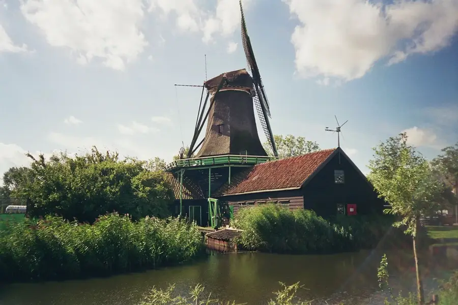
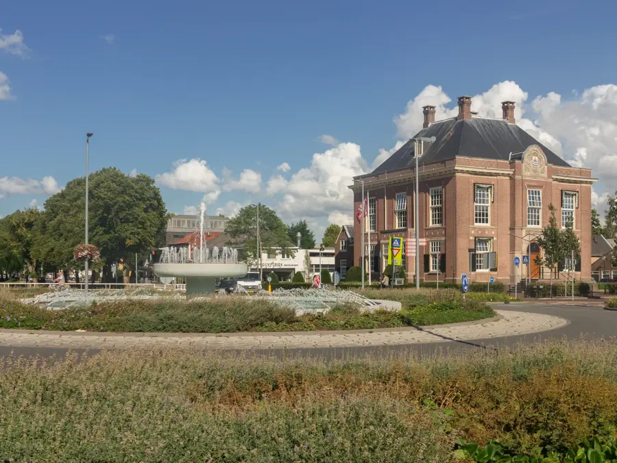
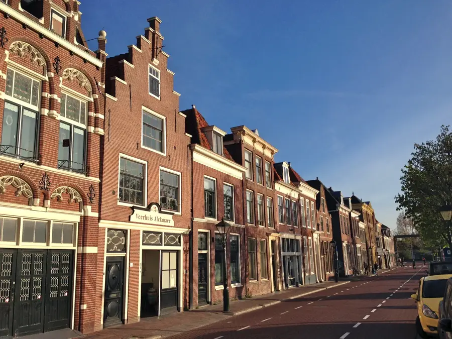
Explore nearby
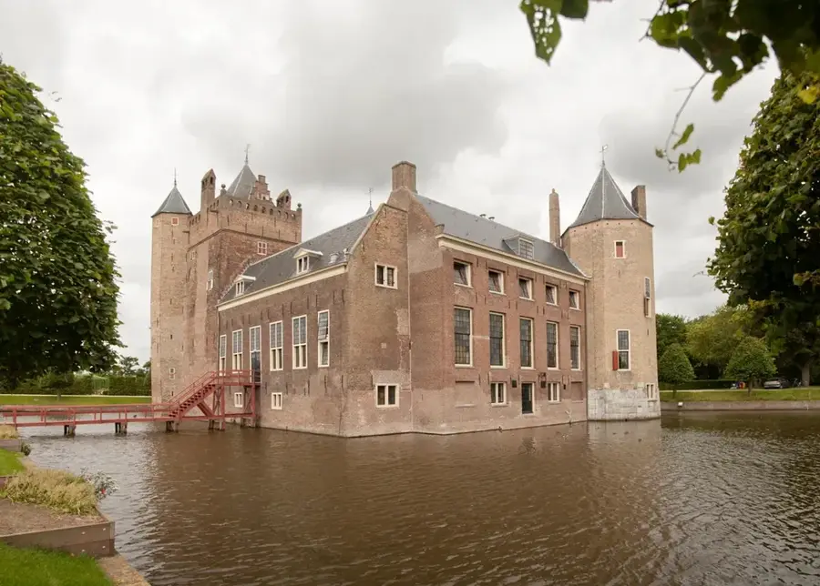
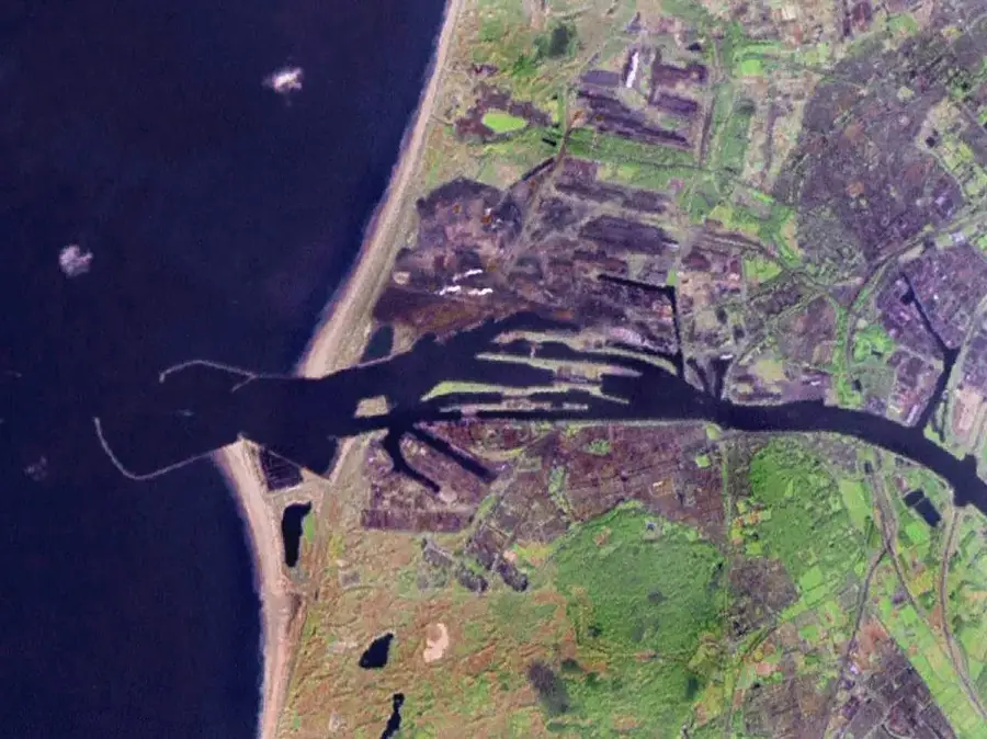
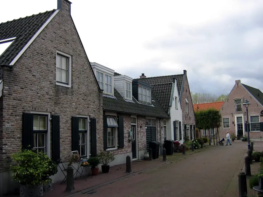
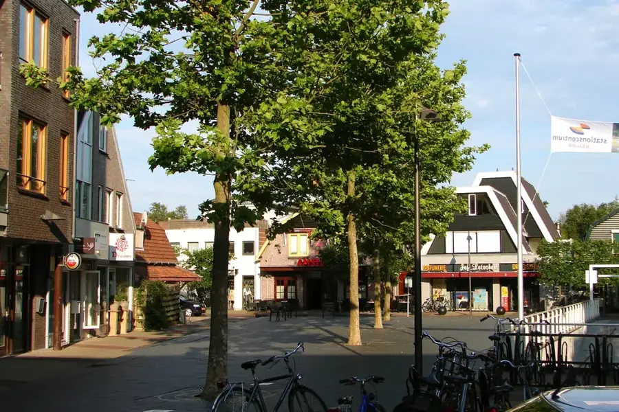
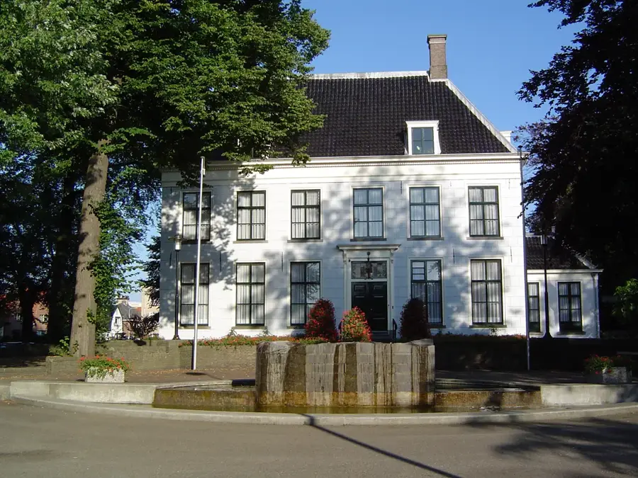
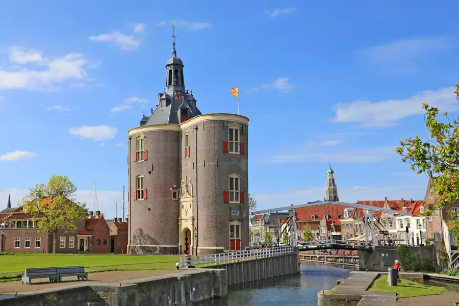
Notable places around
Route planner — Car & Motorhome
Where do you start? We build the route here, with stops and country notes along the way.
© OpenStreetMap contributors · OpenRouteService
Sights nearby
Frequently asked questions
What is the Vlieberg?
Is there a view from there?
What flora can be found here?
Is the hill natural?
Can you go for a walk there?
Vlieberg: where is it located?
Vlieberg: why is it worth visiting?

Nearby cities


History & landmarks

More places