Plizio Visual Lab
Texel Dune Peak
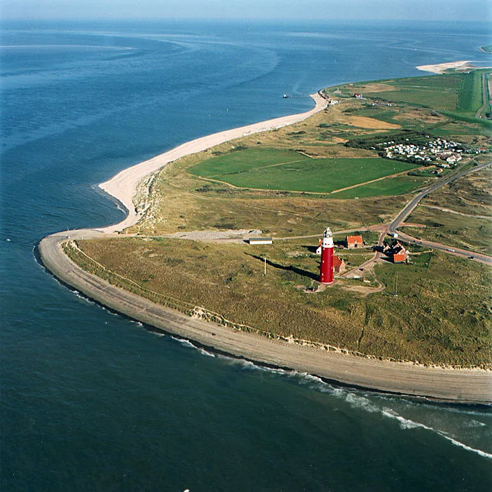
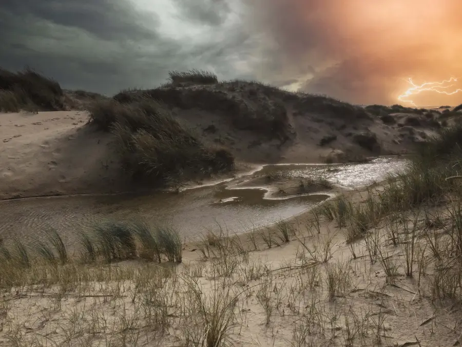
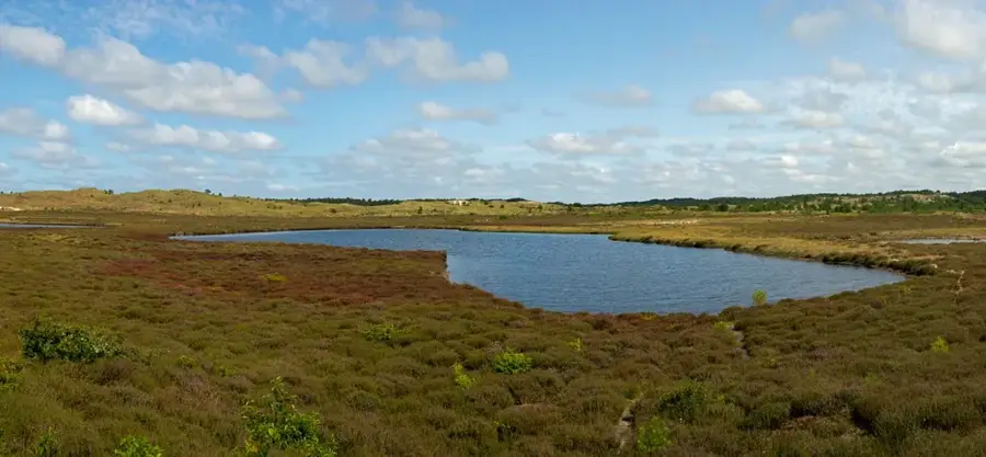
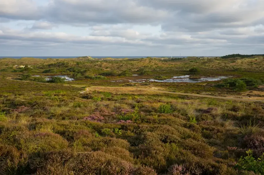
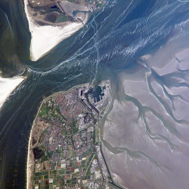
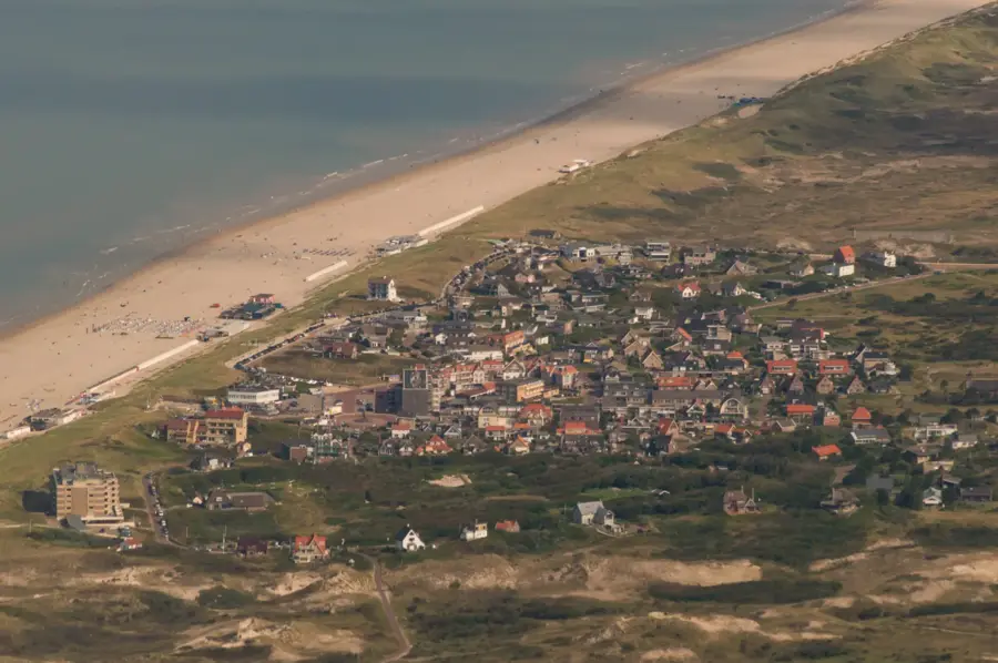
The dune ridge of Texel is an imposing barrier along the western coast of the largest Dutch Wadden Sea island. These formations, reaching heights of up to 35 meters at points like Bertusnol, shield the island's interior from the aggressive North Sea. The development of these dunes is a centuries-long process of sand accumulation driven by wind and stabilized by the planting of marram grass. A large portion of this area is part of the 'Duinen van Texel' National Park, which supports extraordinary biodiversity, including rare orchid species and spoonbill colonies. Historically, the dunes also held military significance, evidenced by numerous bunker ruins from the Atlantic Wall. Today, the dune trails primarily serve recreational purposes, offering wide-open views of both the vast beaches and the island's expansive polder landscape.
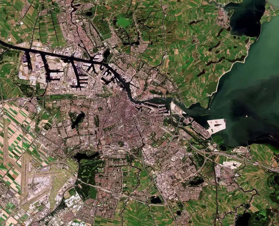
- Location: North Holland, Netherlands
- Top sights: EcoMare · Calluna · Fischer’s Weid
- Nearby: Texel (5 km)
Best time to visit & climate
The most pleasant time to visit is Jul–Sep.
| Jan | Feb | Mar | Apr | May | Jun | Jul | Aug | Sep | Oct | Nov | Dec | |
|---|---|---|---|---|---|---|---|---|---|---|---|---|
| Avg °C | 5 | 4 | 6 | 9 | 12 | 15 | 18 | 18 | 16 | 12 | 9 | 6 |
| Rain mm | 78 | 64 | 52 | 40 | 56 | 65 | 81 | 94 | 72 | 83 | 80 | 83 |
📋 Practical info
Geography
Facts
- The highest point, Bertusnol, rises to about 35 meters above sea level.
- Texel's dune system covers approximately 4,300 hectares of land.
- The area was officially designated as a National Park in 2002.
- It is home to the largest colony of spoonbills in the Netherlands.
- The Eierlandse Duinen in the north were once a separate island.
- A network of over 140 kilometers of hiking trails crisscrosses the dunes.
Explore nearby
Notable places around
Route planner — Car & Motorhome
Where do you start? We build the route here, with stops and country notes along the way.
© OpenStreetMap contributors · OpenRouteService
Sights in the town Texel Dune Peak (7)
Sights nearby
Frequently asked questions
What is the highest point on Texel?
What is the 'Duinen van Texel' National Park?
Can you go hiking there?
What is Ecomare?
Are there observation towers?
Texel Dune Peak: where is it located?
Texel Dune Peak: what is there to see?
Texel Dune Peak: when is the best time to visit?
Texel Dune Peak: why is it worth visiting?

Nearby cities

History & landmarks

More places