Plizio Visual Lab
De Maasduinen National Park
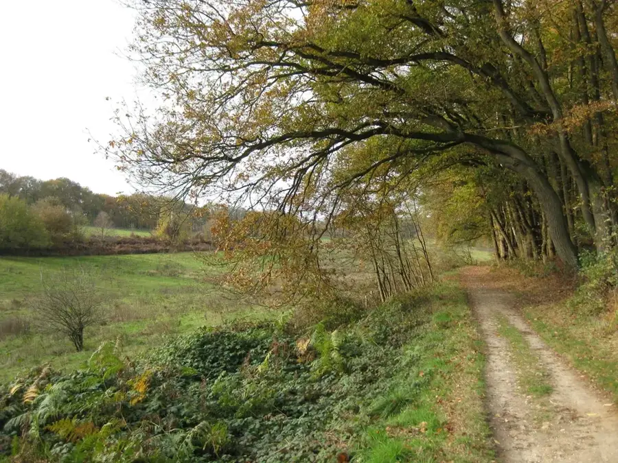
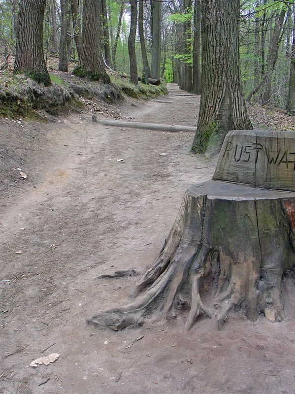
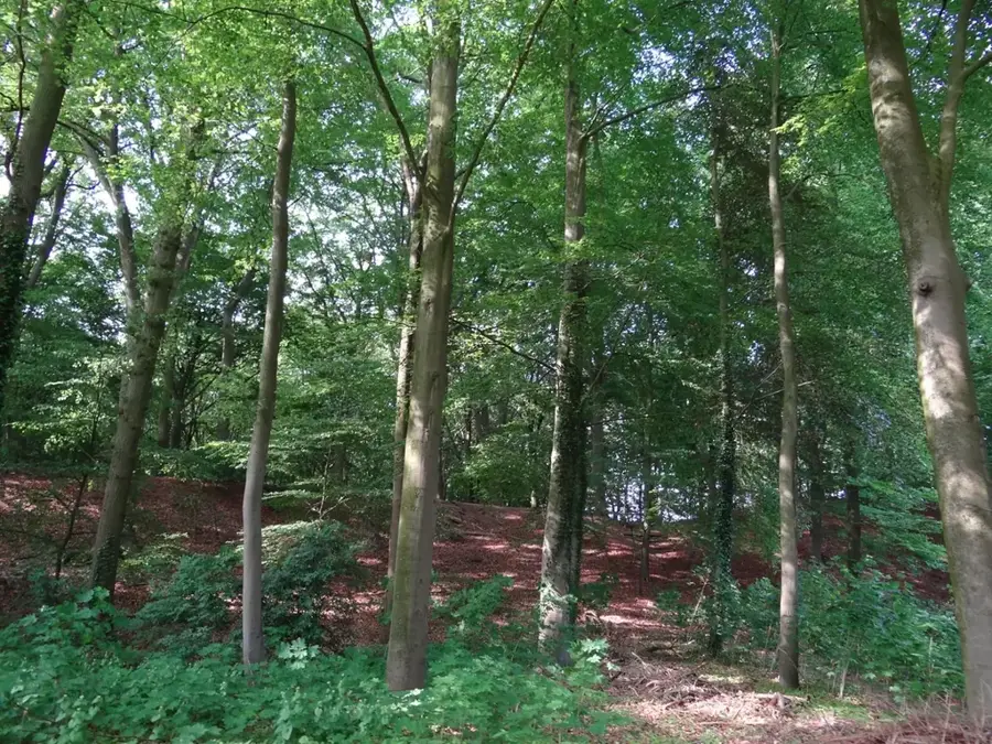
De Maasduinen National Park is situated in the north of the province of Limburg, directly on the border with Germany. It is renowned for having the longest belt of river dunes in the Netherlands, formed over millennia by the combined actions of water, wind, and human activity. The park features a diverse landscape consisting of heathlands, bogs, forests, and shimmering lakes such as the Reindersmeer. Many of these lakes originated from sand excavation and now serve as vital recreation areas and habitats for rare species like the nightjar and the smooth snake. Historically, the region was a barren heathland that was only partially reforested during the 20th century. Established in 1996, the park covers approximately 4,500 hectares. Its extensive network of cycling and hiking trails allows visitors to explore the geological characteristics of the Maas terraces while enjoying the tranquility of the Limburg countryside.
- Location: Gelderland, Netherlands
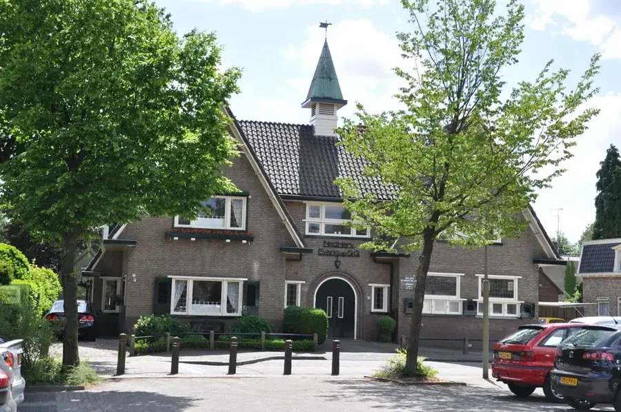
- Top sights: Eckeltse Bergen · Kasteel Bleijenbeek · Sint-Jozefkerk
- Nearby: Boxmeer (9 km)
Best time to visit & climate
The most pleasant time to visit is Jun–Aug.
| Jan | Feb | Mar | Apr | May | Jun | Jul | Aug | Sep | Oct | Nov | Dec | |
|---|---|---|---|---|---|---|---|---|---|---|---|---|
| Avg °C | 2 | 3 | 6 | 10 | 14 | 17 | 19 | 18 | 15 | 11 | 6 | 3 |
| Rain mm | 76 | 62 | 58 | 42 | 61 | 64 | 76 | 80 | 57 | 64 | 72 | 79 |
📋 Practical info
Geography
Facts
- Official establishment of the national park occurred in 1996.
- Total area encompasses approximately 4,500 hectares.
- Features the longest river dune belt in the Netherlands.
- Reindersmeer lake is a former sand excavation site.
- Home to the rare smooth snake (Coronella austriaca).
- The highest point is the Duivelsberg dune at about 30 meters.
Explore nearby
Notable places around
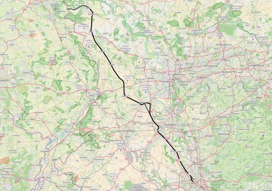
Route planner — Car & Motorhome
Where do you start? We build the route here, with stops and country notes along the way.
© OpenStreetMap contributors · OpenRouteService
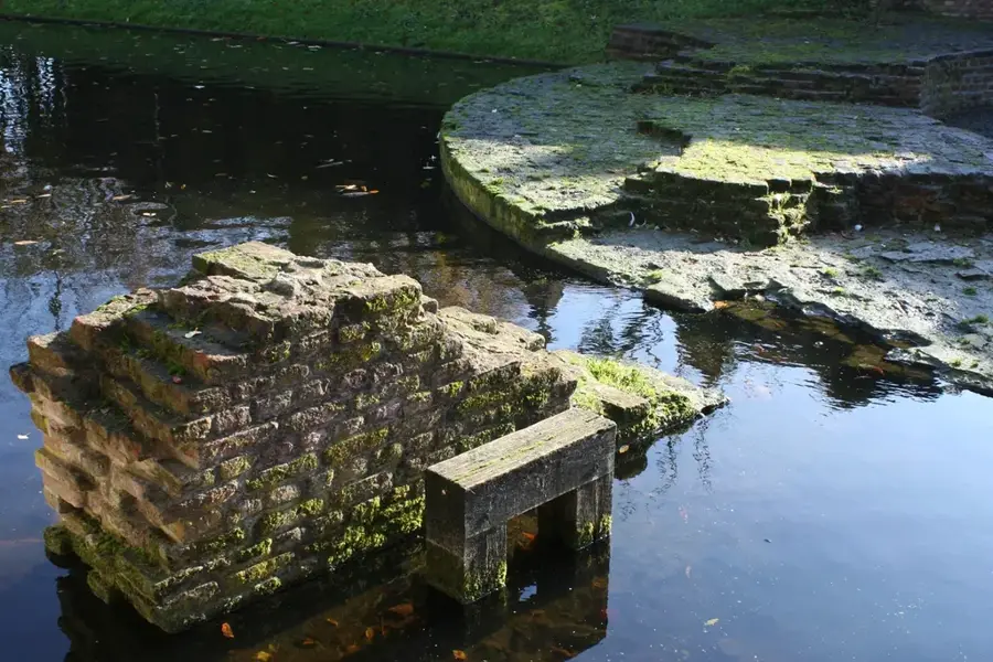
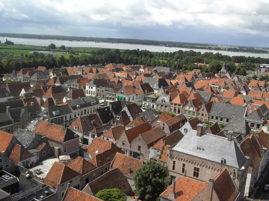
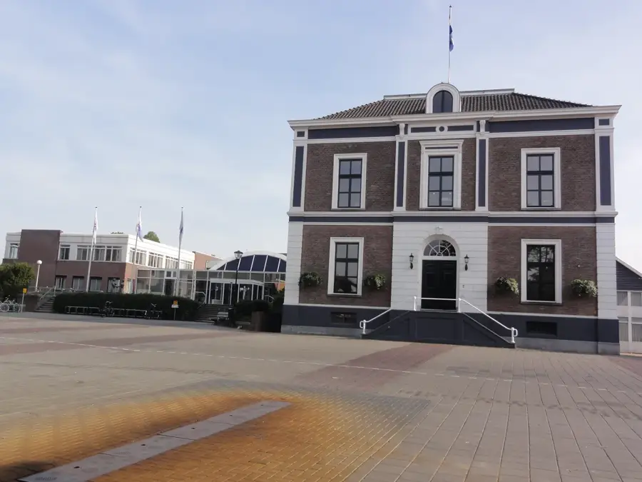
Sights in the town De Maasduinen National Park (4)
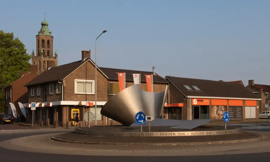
Sights nearby
Frequently asked questions
What are the Maasduinen?
Where is the visitor center located?
Are there hiking trails along the water?
Which animals live in the park?
Does it cost anything to enter the park?
De Maasduinen National Park: where is it located?
De Maasduinen National Park: what is there to see?
De Maasduinen National Park: when is the best time to visit?
De Maasduinen National Park: why is it worth visiting?

Nearby cities
History & landmarks

More places