Plizio Visual Lab
Sint Jansberg
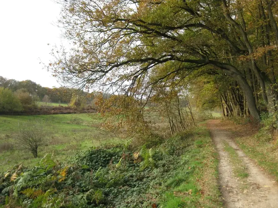
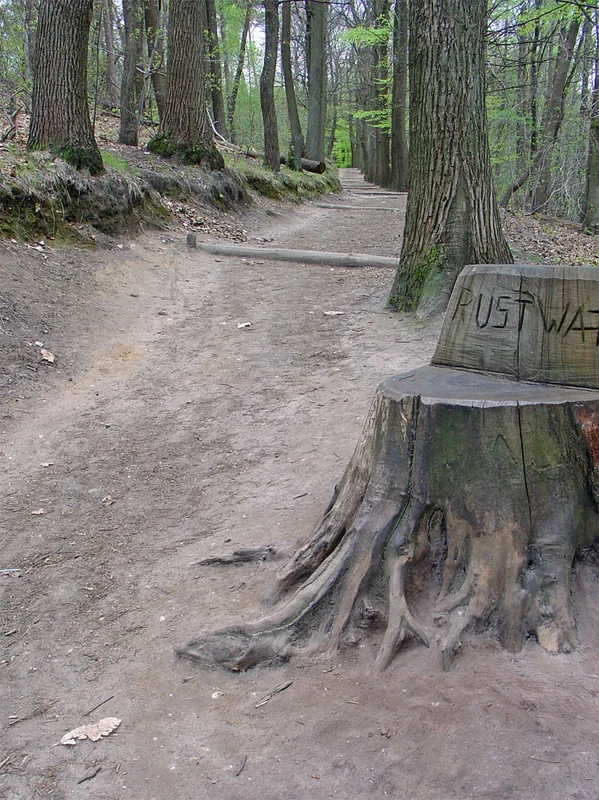
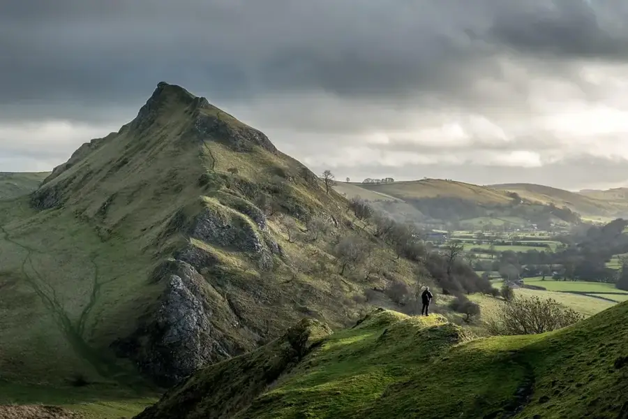
Sint Jansberg is a distinctive nature reserve located near Plasmolen in the far north of the province of Limburg. The landscape is characterized by a glacial moraine formed during the Saale glaciation, which now provides a sharp contrast to the surrounding Meuse river lowlands. Particularly noteworthy are the slopes, which are steep by Dutch standards, and the deep erosion gullies where small streams originate. Historically, the area was once part of a large country estate, evidenced today by ancient avenues and the remains of a Roman villa. The woodland consists mainly of deciduous trees such as sweet chestnuts, which have flourished here for centuries. Situated at the crossroads of Limburg, Gelderland, and North Brabant, Sint Jansberg serves as a crucial ecological stepping stone and a popular stop for hikers on the famous Pieterpad trail.
- Location: Gelderland, Netherlands
- Top sights: Genneperhuis · Niersmündung · potterie jacobsladder
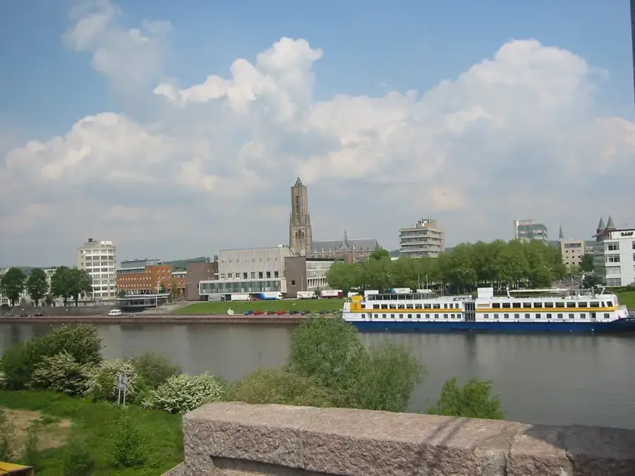
- Nearby: Cuijk (5 km)
Best time to visit & climate
The most pleasant time to visit is Jun–Aug.
| Jan | Feb | Mar | Apr | May | Jun | Jul | Aug | Sep | Oct | Nov | Dec | |
|---|---|---|---|---|---|---|---|---|---|---|---|---|
| Avg °C | 2 | 3 | 6 | 10 | 14 | 17 | 19 | 18 | 15 | 11 | 6 | 3 |
| Rain mm | 76 | 62 | 58 | 42 | 61 | 64 | 76 | 80 | 57 | 64 | 72 | 79 |
📋 Practical info
Geography
Facts
- Sint Jansberg is part of a terminal moraine formed during the Saale glaciation.
- Remains of a large Roman villa from the 2nd century AD were discovered here.
- The area contains several spring-fed streams and a historic watermill.
- The highest point of the reserve is approximately 75 meters above sea level.
- Sweet chestnut trees are a signature feature, some dating back centuries.
- It is a key location on the Pieterpad, the longest hiking trail in the Netherlands.
Explore nearby
Notable places around
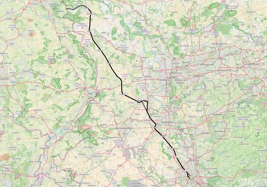
Route planner — Car & Motorhome
Where do you start? We build the route here, with stops and country notes along the way.
© OpenStreetMap contributors · OpenRouteService
Sights in the town Sint Jansberg (10)
Onze-Lieve-Vrouw van Altijddurende Bijstandkerk
This church in Milsbeek is dedicated to Our Lady of Perpetual Help.
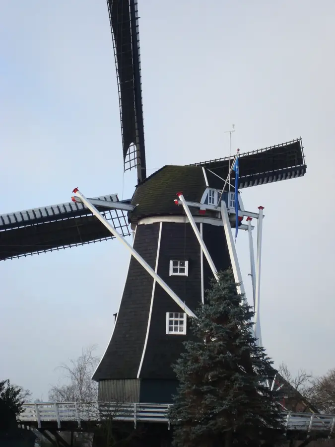
De Reus
De Reus is a windmill in Ottersum, Netherlands, a historic structure.
Zoete Naam Jezuskerk
The Zoete Naam Jezuskerk is a church building in Oeffelt, Netherlands.
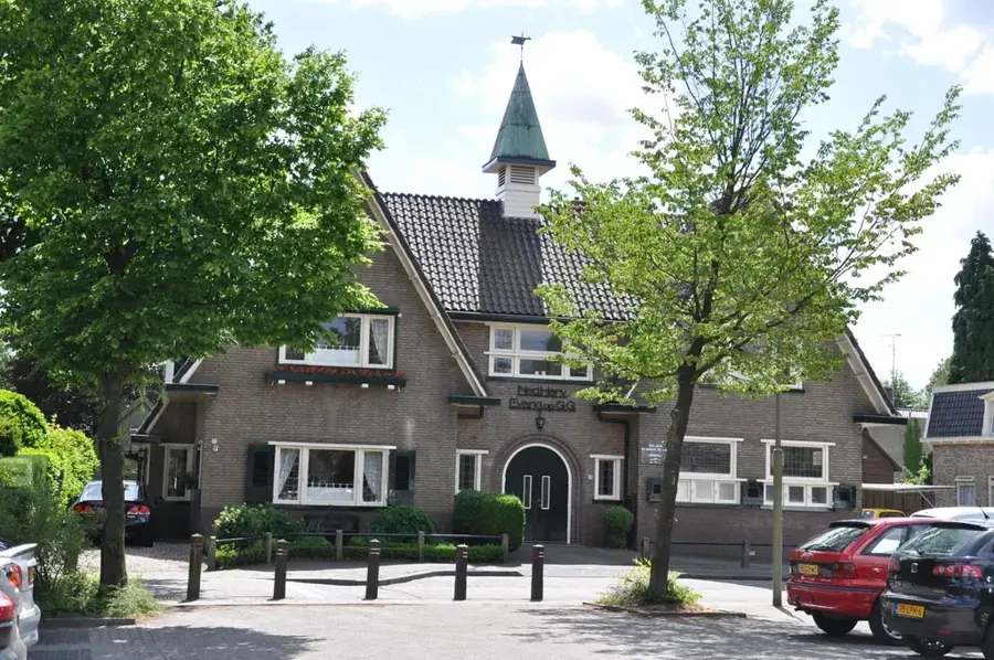
Protestantse Kerk
The Protestantse Kerk is a Protestant place of worship in the area.
De Diepen
De Diepen is a nature reserve with wetlands and forests.
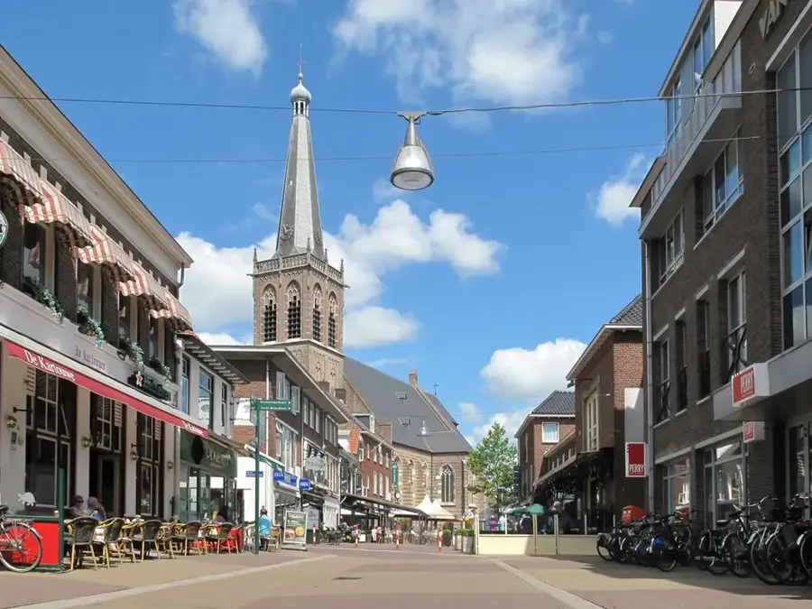
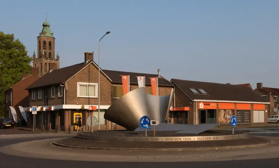
Sint-Martinustoren⛪ church
The Sint-Martinustoren is a church tower, a landmark in the landscape.
Sights nearby
Frequently asked questions
What is special about Sint Jansberg?
Where is the hill located?
What are the 'water mills'?
Is there a Roman villa there?
How challenging is the hiking?
Sint Jansberg: where is it located?
Sint Jansberg: what is there to see?
Sint Jansberg: when is the best time to visit?
Sint Jansberg: why is it worth visiting?

Nearby cities
History & landmarks

More places