Plizio Visual Lab
Twyfelfontein
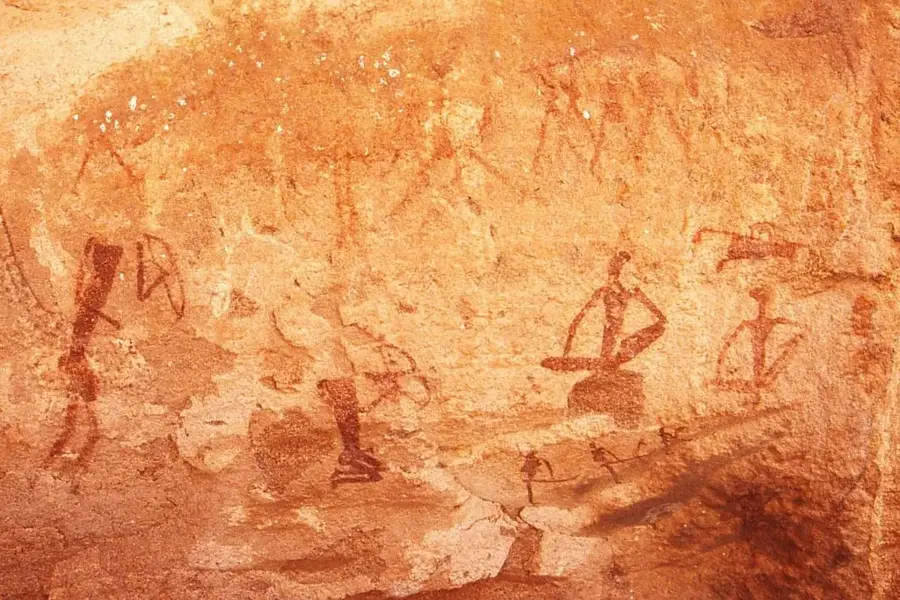
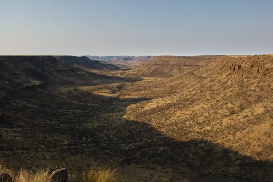
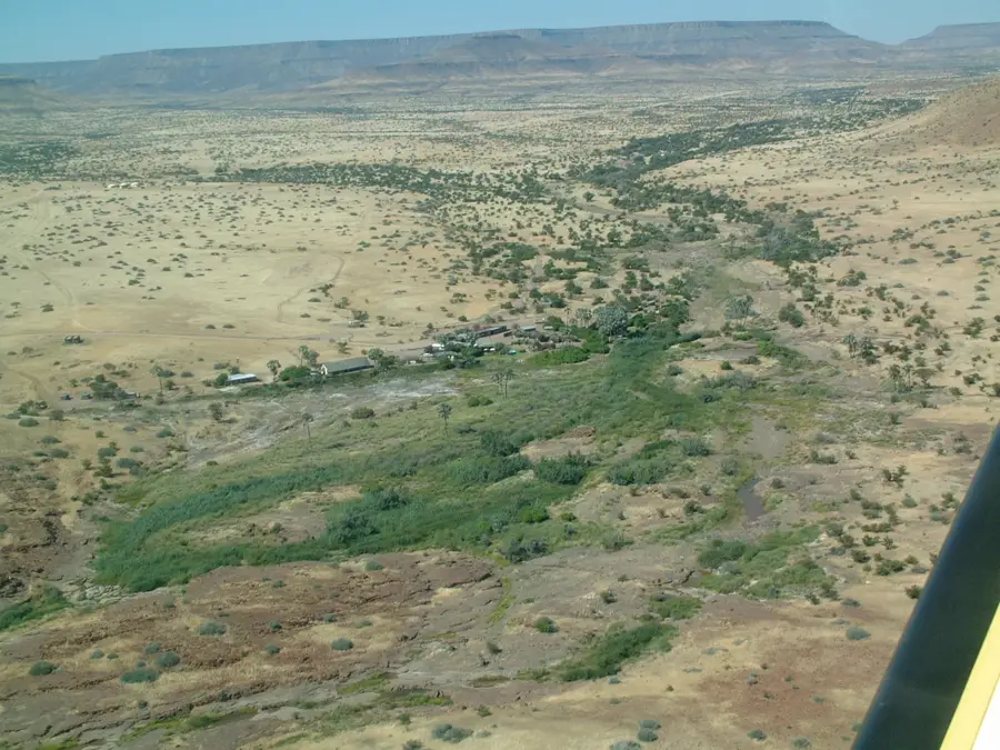
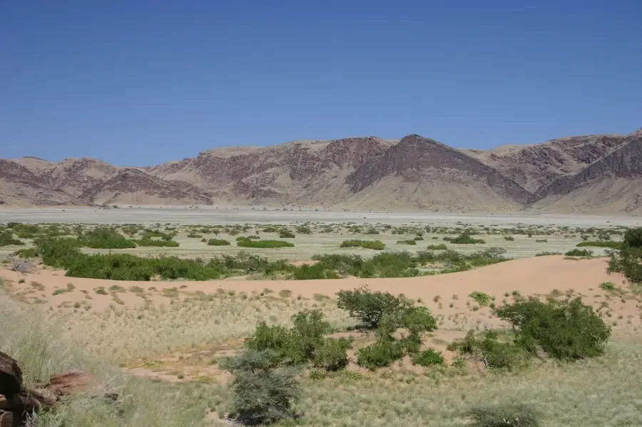
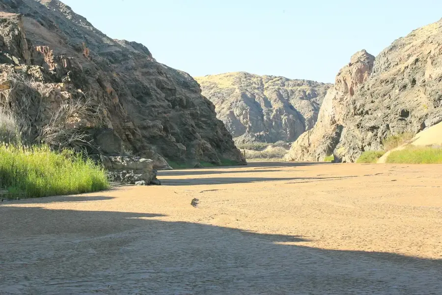
Twyfelfontein, officially known as |Ui-||Ais, is one of the most significant rock art sites in Africa and was designated as Namibia's first UNESCO World Heritage Site in 2007. Located in the Kunene Region, the site contains over 2,500 petroglyphs created primarily by San hunter-gatherers between 2,000 and 6,000 years ago. These engravings depict a wide range of animals, including elephants, rhinoceroses, giraffes, and ostriches, alongside human figures and abstract geometric patterns. The name Twyfelfontein translates from Afrikaans as "Doubtful Fountain," referring to a perennial spring in the valley that was often unreliable. The site served for millennia as a ritual space for shamanic practices and as a means of communicating knowledge about water sources and prey behavior. Today, the area is a protected monument, offering profound insights into the spiritual beliefs and environmental interactions of Southern Africa's prehistoric inhabitants.
- Location: Namibia
- Top sights: "Wondergat" = hole in the ground · Damara Living Museum · Engravings
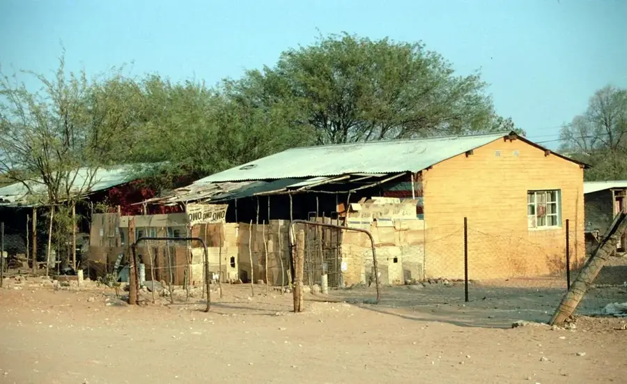
- Nearby: Khorixas (70 km)
Best time to visit & climate
The most pleasant time to visit is Jun–Aug.
| Jan | Feb | Mar | Apr | May | Jun | Jul | Aug | Sep | Oct | Nov | Dec | |
|---|---|---|---|---|---|---|---|---|---|---|---|---|
| Avg °C | 25 | 25 | 26 | 25 | 23 | 20 | 20 | 20 | 23 | 25 | 25 | 25 |
| Rain mm | 50 | 75 | 78 | 37 | 2 | 0 | 0 | 0 | 1 | 3 | 12 | 19 |
📋 Practical info
Geography
Facts
- Over 2,500 individual rock engravings are cataloged here
- Designated as a UNESCO World Heritage Site in 2007
- Age of engravings ranges between 2,000 and 6,000 years
- Rediscovered by European settlers in 1947
- The original name |Ui-||Ais means 'jumping water'
- There are 17 distinct visitor locations within the core area
Explore nearby
Notable places around
Route planner — Car & Motorhome
Where do you start? We build the route here, with stops and country notes along the way.
© OpenStreetMap contributors · OpenRouteService
Sights in the town Twyfelfontein (8)
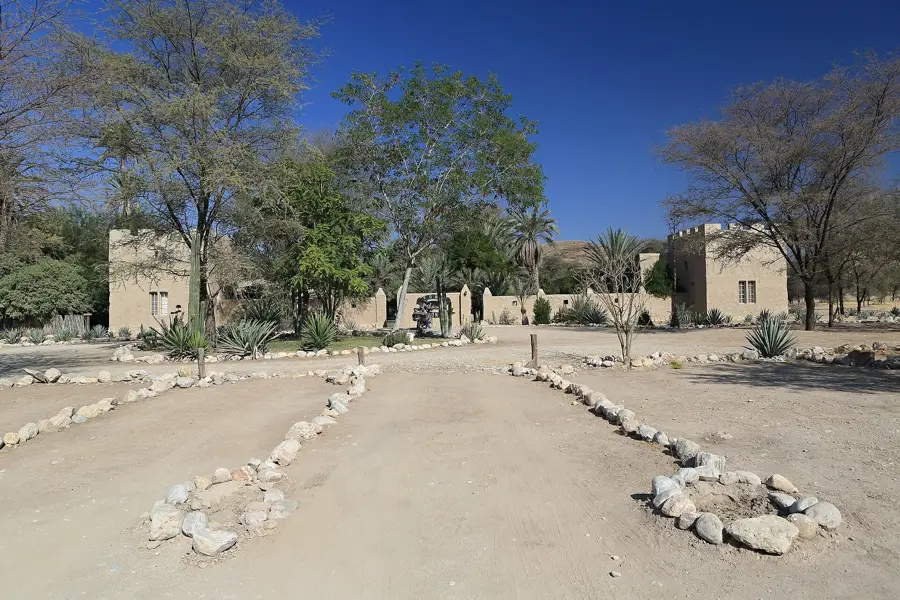
Damara Living Museum🏛 museum
This open-air museum showcases the traditional culture, crafts, and bush skills of the indigenous Damara people.
Sights nearby
Frequently asked questions
What are the engravings here?
Do I need a guide?
How long does the tour take?
When is it best?
Is it suitable for children?
Twyfelfontein: where is it located?
Twyfelfontein: what is there to see?
Twyfelfontein: when is the best time to visit?
Twyfelfontein: why is it worth visiting?

Nearby cities
History & landmarks

Nature
More places