Plizio Visual Lab
Urichab Mountains

Weather…
Water temperature…
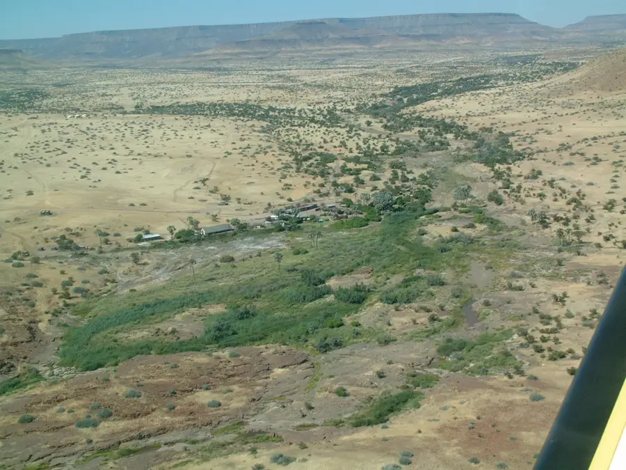
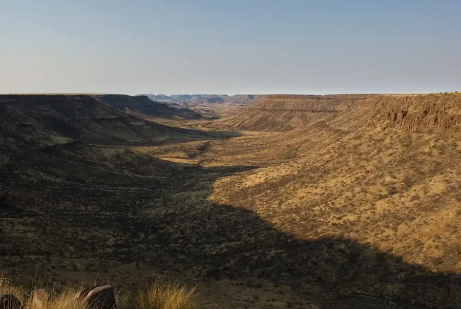
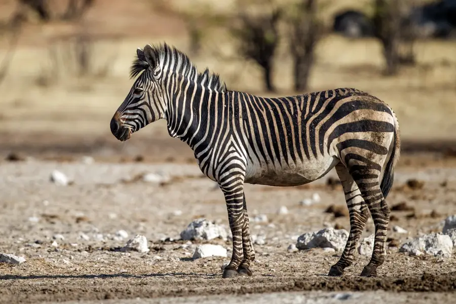
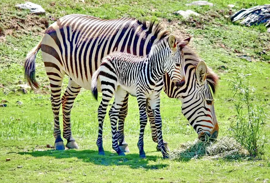
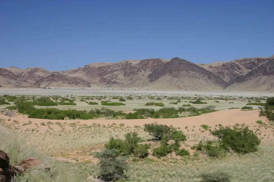
The Urichab Mountains are located in southern Namibia within the Hardap Region, forming a prominent elevation along the eastern margin of the Namib Desert. These mountains consist primarily of ancient Precambrian rocks and quartzites that have been heavily weathered by extreme temperature fluctuations and wind erosion. The landscape is characterized by barren, rugged peaks and wide sandy plains extending from the base of the range. Due to the hyper-aridity of the area, surface water is almost non-existent, and vegetation is restricted to highly specialized succulents and grasses that benefit from occasional coastal fogs. Historically, the region was the site of minor mining activities in the early 20th century, primarily searching for semi-precious stones. Today, the Urichab Mountains remain largely untouched due to their remoteness, serving as a refuge for hardy wildlife such as klipspringer and oryx. Their scientific significance lies in the study of desert-edge ecosystems and the geological history of the southern Namibian crust.
- Location: Namibia
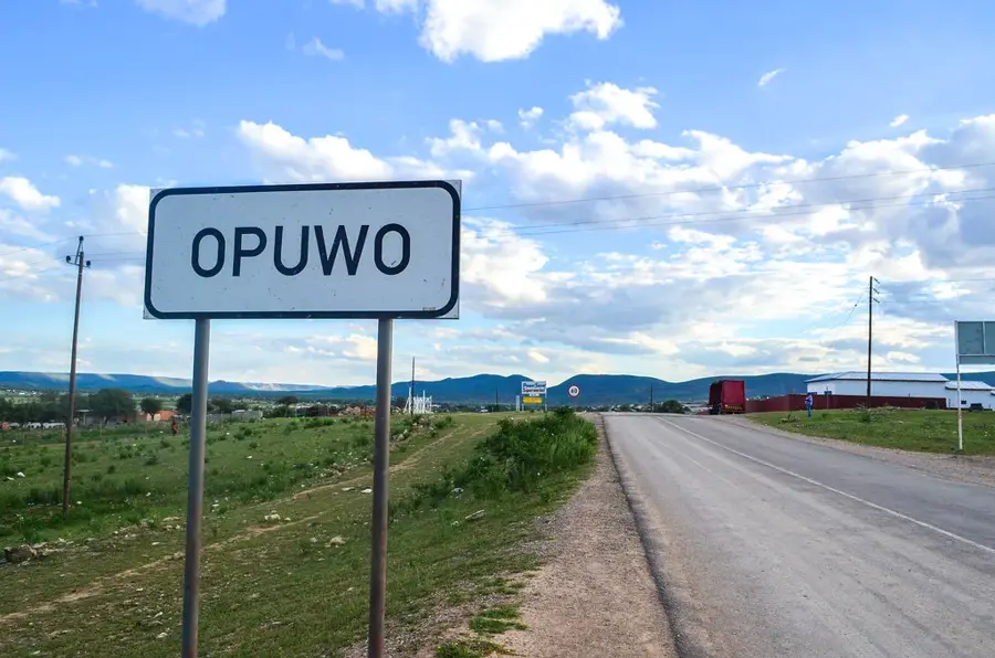
- Nearby: Kamanjab (84 km)
Best time to visit & climate
The most pleasant time to visit is May, Jun, Aug.
| Jan | Feb | Mar | Apr | May | Jun | Jul | Aug | Sep | Oct | Nov | Dec | |
|---|---|---|---|---|---|---|---|---|---|---|---|---|
| Avg °C | 25 | 24 | 25 | 24 | 22 | 19 | 19 | 21 | 24 | 25 | 26 | 25 |
| Rain mm | 69 | 90 | 72 | 20 | 1 | 0 | 0 | 0 | 1 | 4 | 21 | 30 |
📋 Practical info
Geography
Facts
- The mountains are situated east of the Sossusvlei region on the edge of the Namib.
- Geology is dominated by metamorphic rocks of the Namaqualand Complex.
- The highest peaks in the range reach an elevation of about 1,100 meters.
- The region often records less than 20 mm of annual precipitation.
- Urichab is known for its occurrences of rose quartz and amethyst.
- There are no permanent human settlements within the mountain range.
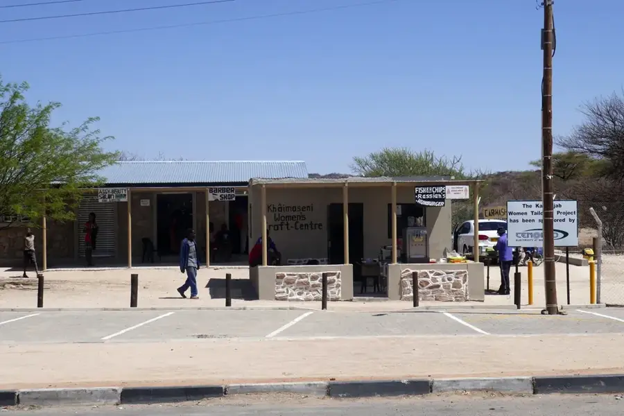
Explore nearby
Notable places around
Route planner — Car & Motorhome
Where do you start? We build the route here, with stops and country notes along the way.
© OpenStreetMap contributors · OpenRouteService
Sights nearby
Frequently asked questions
Where is this?
Open to tourists?
What is there?
Vehicle?
Guide needed?
Urichab Mountains: where is it located?
Urichab Mountains: when is the best time to visit?
Urichab Mountains: why is it worth visiting?

Nearby cities
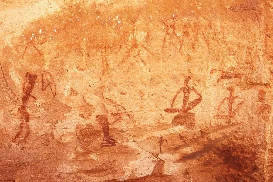
History & landmarks

Nature
More places