Plizio Visual Lab
Marienfluss Valley

Weather…
Water temperature…
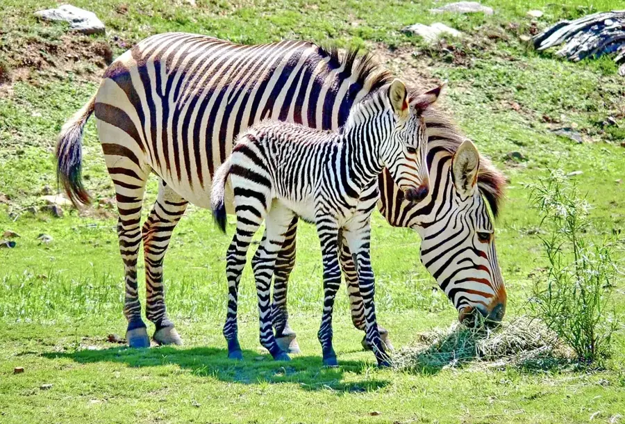
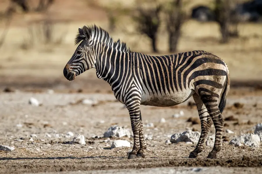
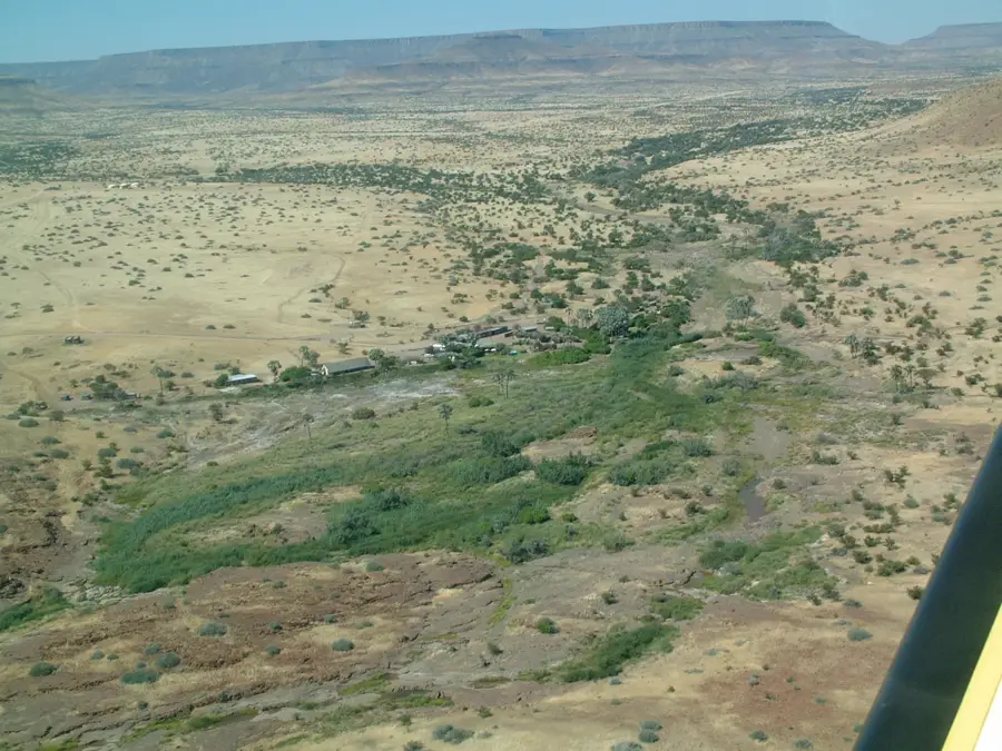
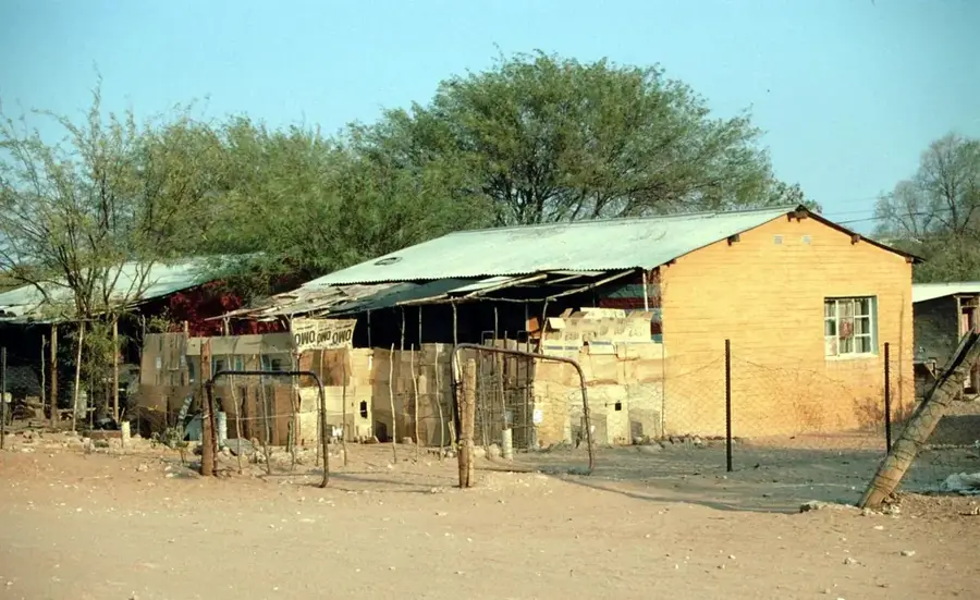
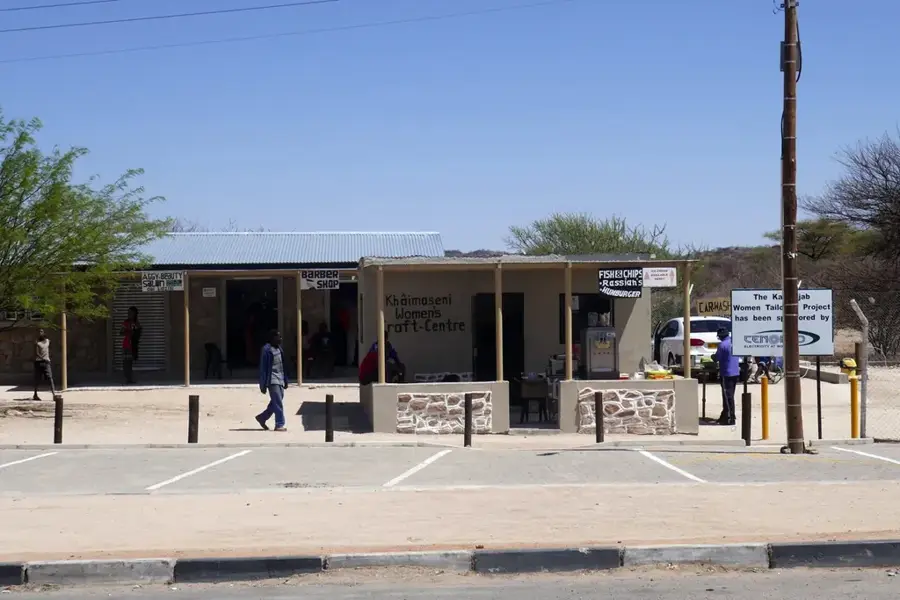
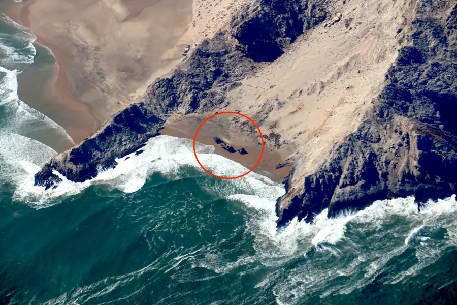
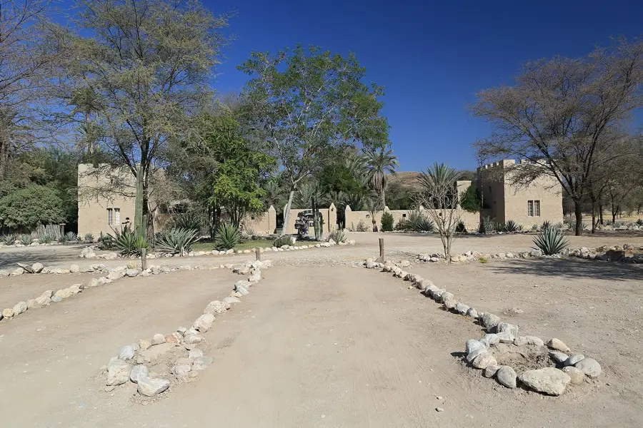
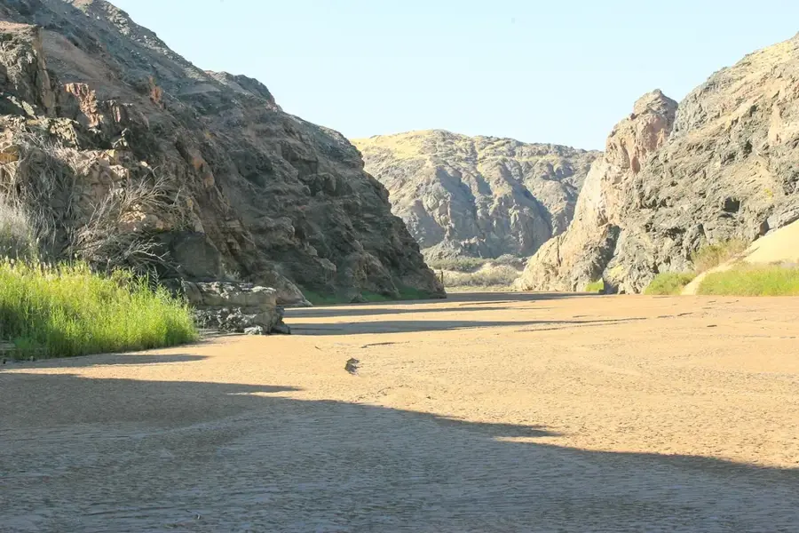
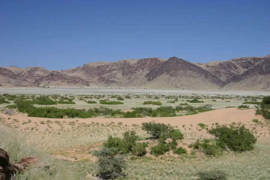
The Marienfluss Valley is one of the most remote and pristine places in Namibia. Located in Kaokoland, it stretches to the Kunene River, which forms the border with Angola. The valley is famous for its vast, golden grassy plains dotted with mysterious fairy circles, bare patches in the grass whose origin remains a scientific mystery to this day. The region is inhabited by the semi-nomadic Himba people, who still live according to their traditional customs here. The landscape is breathtakingly beautiful but requires meticulous travel planning. There are only a few highly exclusive lodges or simple campsites. Access is extremely challenging and recommended only for experienced 4x4 drivers via the notorious Van Zyl’s Pass or Hartmann’s Pass. Culinarilly, visitors must be completely self-sufficient. The best time to visit is after the rains (March to May) when the valley is green, or during the cooler winter months. This is a destination for true adventurers seeking absolute silence and untouched nature.
Best time to visit & climate
The most pleasant time to visit is Jun–Aug.
| Jan | Feb | Mar | Apr | May | Jun | Jul | Aug | Sep | Oct | Nov | Dec | |
|---|---|---|---|---|---|---|---|---|---|---|---|---|
| Avg °C | 25 | 25 | 26 | 26 | 24 | 22 | 22 | 24 | 26 | 27 | 27 | 26 |
| Rain mm | 71 | 121 | 141 | 37 | 1 | 0 | 0 | 0 | 1 | 10 | 23 | 33 |
📋 Practical info
Geography
Facts
- Home to the Himba people
- Famous for fairy circles
- Bordered by the Kunene River
- Accessible only by 4x4
- Located in the Kunene region
- Part of Kaokoland
- Extremely sparsely populated
- Hartmann Mountains to the east
Explore nearby
Notable places around
Route planner — Car & Motorhome
Where do you start? We build the route here, with stops and country notes along the way.
© OpenStreetMap contributors · OpenRouteService
Sights in the town Marienfluss Valley (1)
Sights nearby
Frequently asked questions
Marienfluss Valley: where is it located?
Marienfluss Valley: when is the best time to visit?
Marienfluss Valley: why is it worth visiting?

Nearby cities
History & landmarks

Nature
More places